Aldington Frith
Settlement in Kent Ashford
England
Aldington Frith

Aldington Frith is a picturesque village located in the county of Kent, in the southeastern region of England. Situated within the borough of Ashford, this rural settlement is nestled amidst the beautiful countryside, offering a tranquil and idyllic environment for residents and visitors alike.
The village boasts a rich history dating back centuries, with evidence of human habitation found in the area from as early as the Iron Age. Today, Aldington Frith retains its traditional charm, with a mix of well-preserved historic buildings and modern amenities.
Nature enthusiasts will be delighted by the stunning landscapes surrounding the village. The nearby Kent Downs, designated as an Area of Outstanding Natural Beauty, provide ample opportunities for outdoor activities such as hiking, cycling, and horse riding. Additionally, the picturesque Stour Valley and its river are within easy reach, offering scenic walks and a chance to spot local wildlife.
Aldington Frith itself is home to a close-knit community, with a primary school, a village hall, and a few local shops catering to basic needs. For a wider range of amenities, the town of Ashford is just a short drive away, offering shopping centers, restaurants, and leisure facilities.
With its peaceful ambiance, rich history, and access to stunning countryside, Aldington Frith is a haven for those seeking a slower pace of life amidst the beauty of rural Kent.
If you have any feedback on the listing, please let us know in the comments section below.
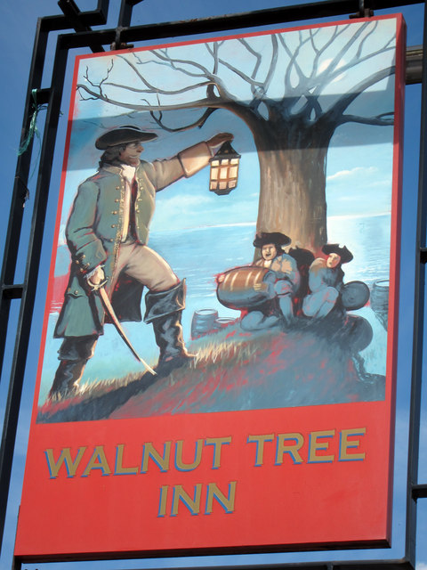
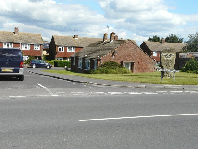
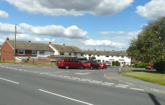
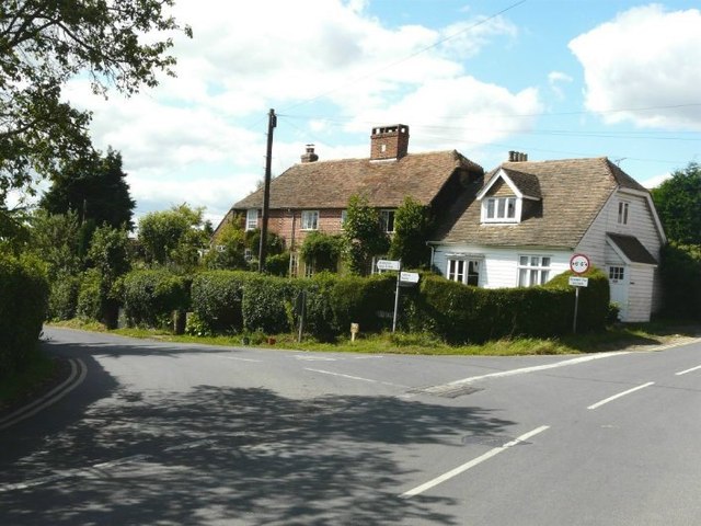
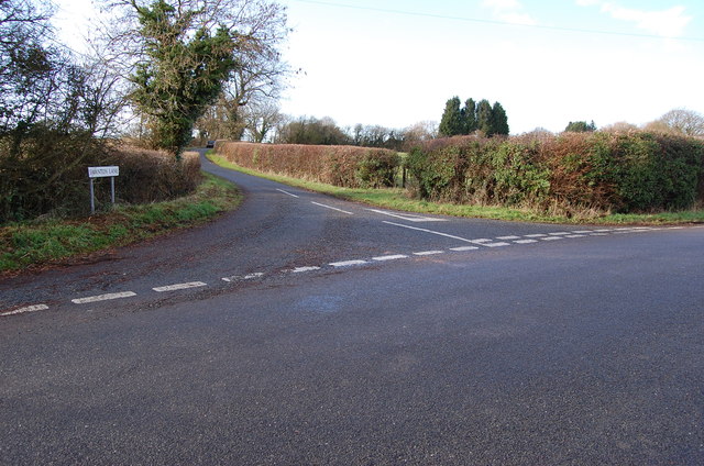
Aldington Frith Images
Images are sourced within 2km of 51.094626/0.918413 or Grid Reference TR0436. Thanks to Geograph Open Source API. All images are credited.


Aldington Frith is located at Grid Ref: TR0436 (Lat: 51.094626, Lng: 0.918413)
Administrative County: Kent
District: Ashford
Police Authority: Kent
What 3 Words
///commended.instance.radiated. Near Ashford, Kent
Nearby Locations
Related Wikis

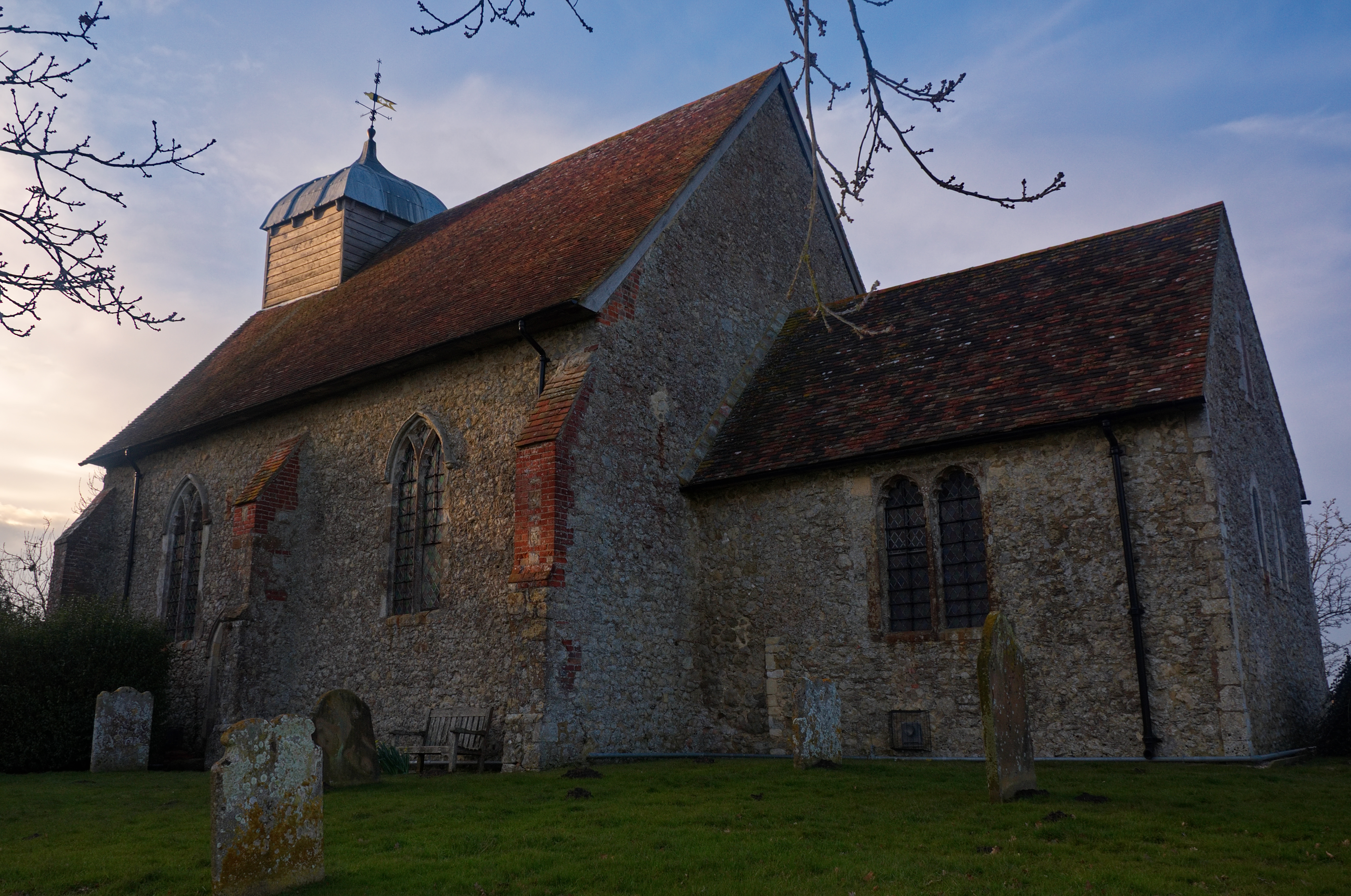
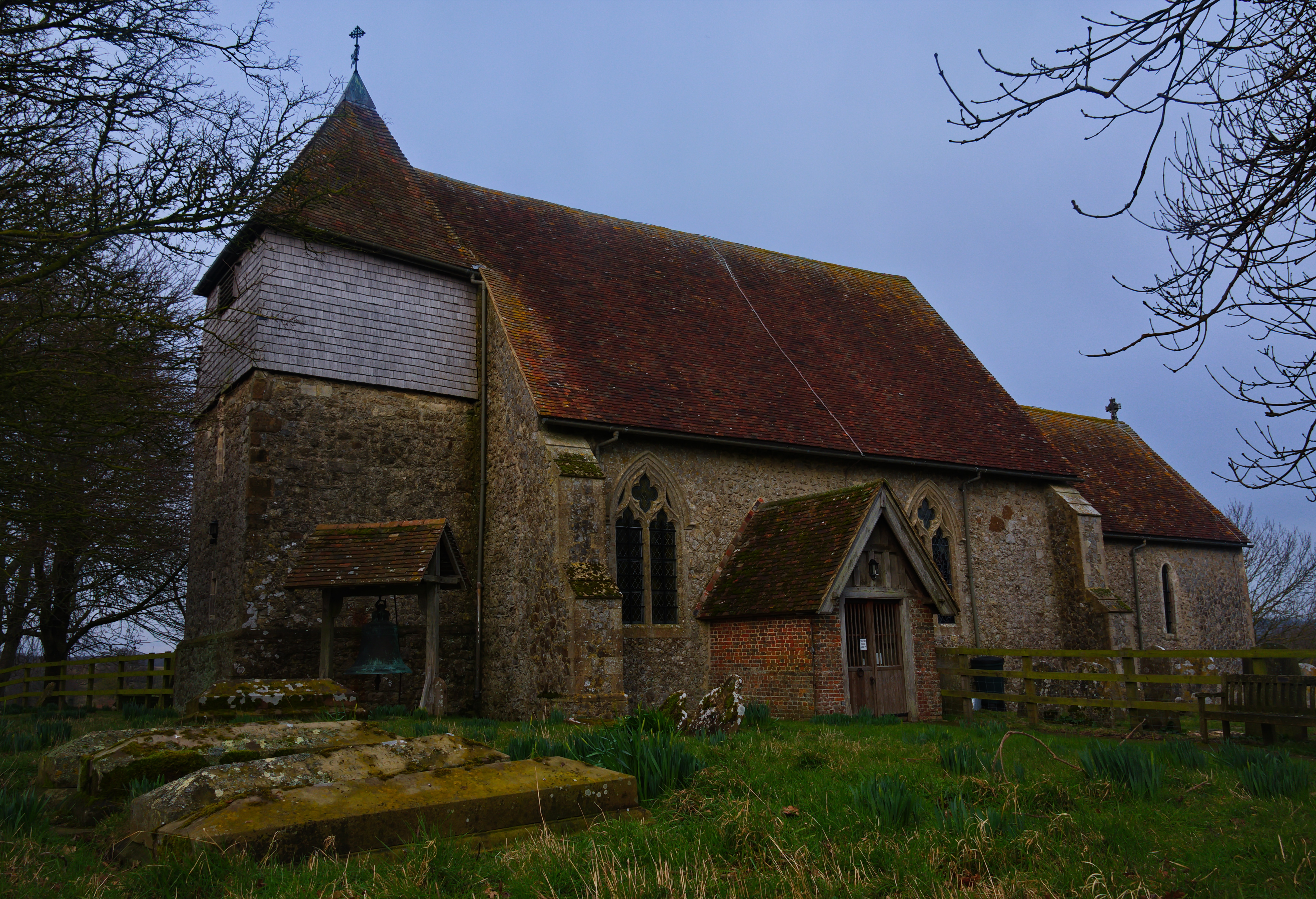
Aldington Frith
Aldington Frith is a village in Kent, England, south of Ashford.
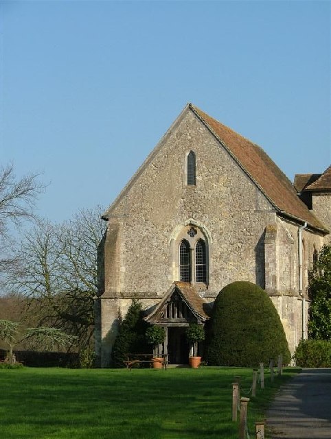
Bilsington Priory
Bilsington Priory is a former Augustinian priory in Kent, England, about 3⁄4 mile (1 km) north of Bilsington and about 5 miles (8 km) south of Ashford...
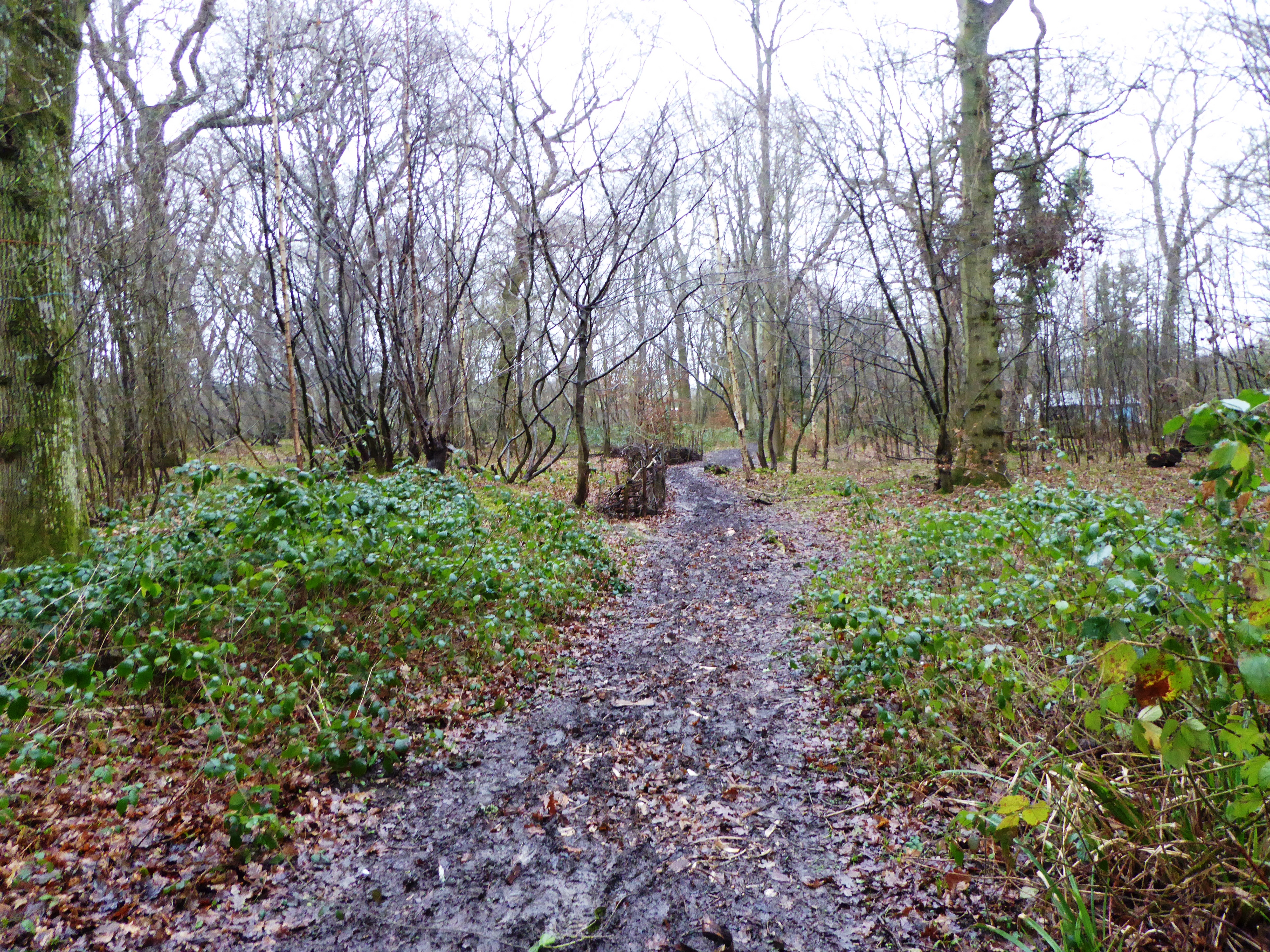
Poulton Wood
Poulton Wood is a 10.2-hectare (25-acre) Local Nature Reserve in Aldington, south-east of Ashford in Kent. It is owned and managed by Canterbury Oast...
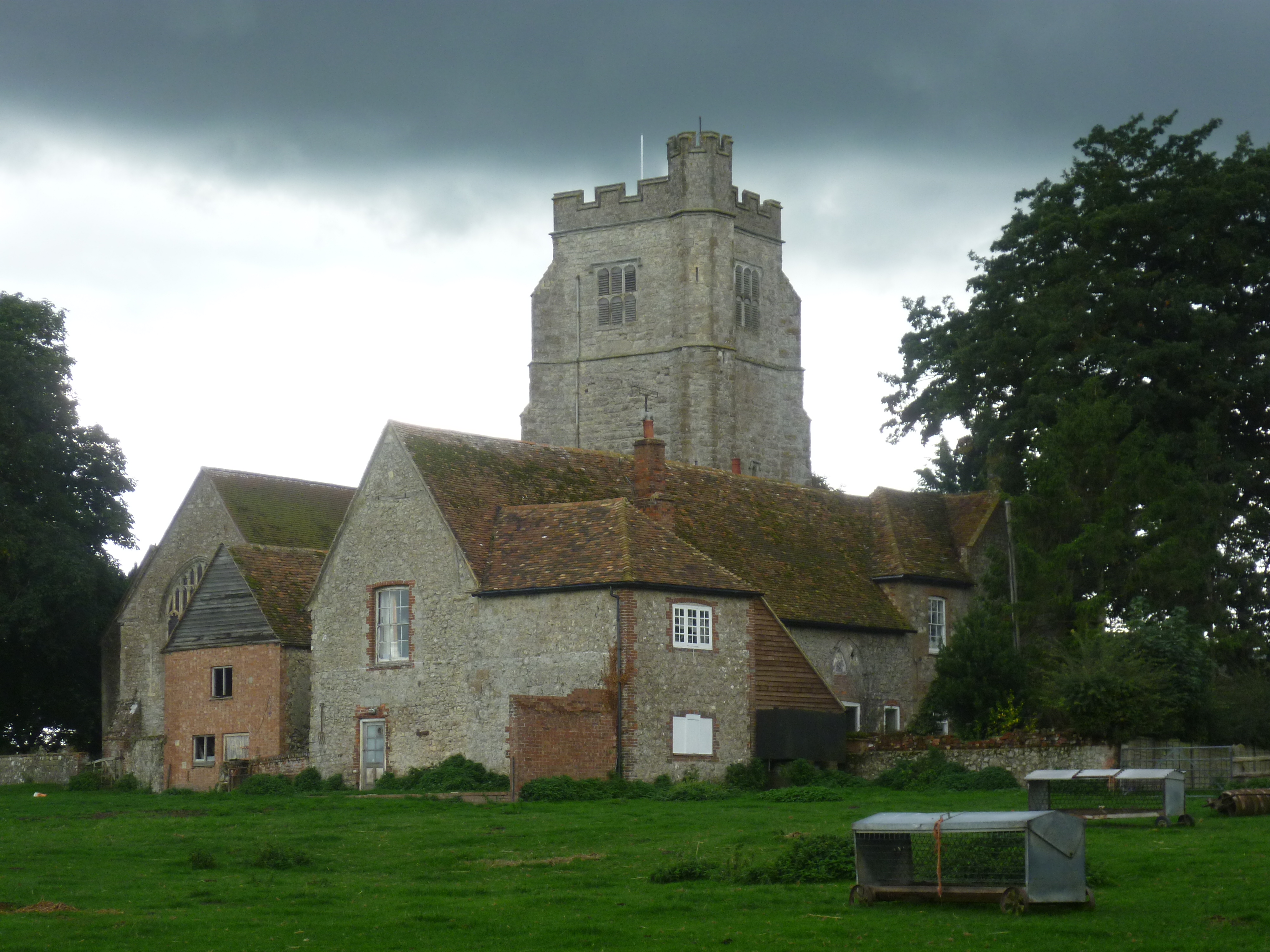
Aldington, Kent
Aldington is a village and civil parish in the Ashford District of Kent, England. The village centre is eight miles (12 km) south-east of the town of Ashford...
Bonnington
Bonnington is a dispersed village and civil parish on the northern edge of the Romney Marsh in Ashford District of Kent, England. The village is located...
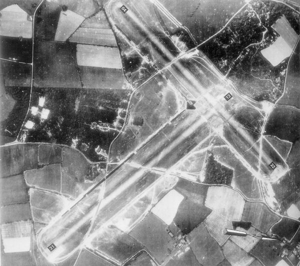
RAF Kingsnorth (World War II)
Royal Air Force Kingsnorth or more simply RAF Kingsnorth is a former Royal Air Force Advanced Landing Ground in Kent, England. It was at Bliby Corner...
Cheeseman's Green
Cheeseman's Green is a housing and commercial development to the south of Ashford in Kent, England. It is adjacent to Sevington and Park Farm. It will...
Bilsington
Bilsington is a village and civil parish in the Ashford district of Kent, England. The village is about 5 miles (8 km) south of Ashford, on the B2067 road...
Nearby Amenities
Located within 500m of 51.094626,0.918413Have you been to Aldington Frith?
Leave your review of Aldington Frith below (or comments, questions and feedback).