Aldon
Settlement in Shropshire
England
Aldon

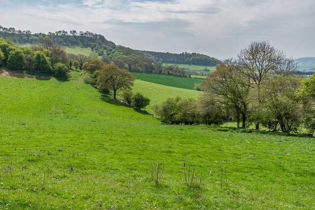
Aldon is a small village located in the county of Shropshire, England. Situated approximately 5 miles southwest of the town of Bridgnorth, it is nestled amidst the picturesque countryside, surrounded by rolling hills and farmland.
With a population of around 500 residents, Aldon retains a charming, close-knit community atmosphere. The village is characterized by its traditional architecture, featuring a mix of historic cottages and more modern residences. The village center is adorned with a quaint, medieval church, St. Peter's, which stands as a testament to Aldon's rich history.
Aldon offers a peaceful and idyllic lifestyle, with its tranquil surroundings and abundant green spaces. The village is a haven for nature lovers, with numerous walking and cycling trails that wind through the nearby woodlands and meadows. Outdoor enthusiasts can also enjoy the nearby Aldon Hill, which offers breathtaking views of the surrounding countryside.
Although relatively secluded, Aldon benefits from its proximity to Bridgnorth, which provides access to a wider range of amenities and services. Residents can easily access supermarkets, shops, restaurants, and leisure facilities in the town, while also benefiting from excellent transport links, including regular bus services.
Overall, Aldon is a charming village that offers a peaceful and rural lifestyle, making it an ideal place for those seeking a tranquil retreat in the heart of the Shropshire countryside.
If you have any feedback on the listing, please let us know in the comments section below.
Aldon Images
Images are sourced within 2km of 52.410558/-2.829568 or Grid Reference SO4379. Thanks to Geograph Open Source API. All images are credited.


Aldon is located at Grid Ref: SO4379 (Lat: 52.410558, Lng: -2.829568)
Unitary Authority: Shropshire
Police Authority: West Mercia
What 3 Words
///lifestyle.hounded.spout. Near Craven Arms, Shropshire
Nearby Locations
Related Wikis

Stokesay Court
Stokesay Court is a country house and estate in the parish of Onibury (but named after Stokesay) in Shropshire, England. Described by John Newman, in the...
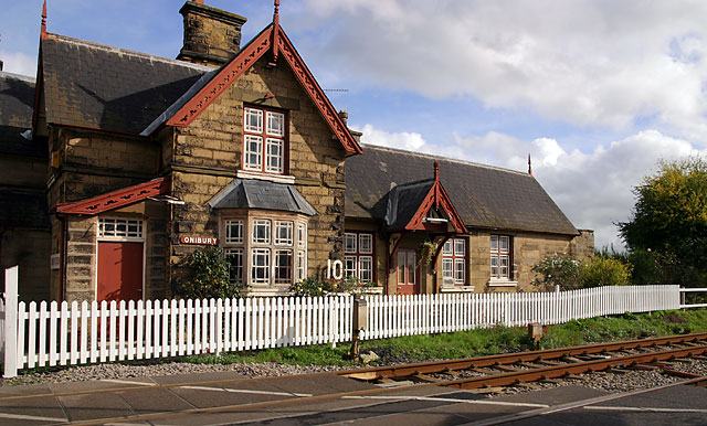
Onibury railway station
Onibury railway station was a station in Onibury, Shropshire, England. The station was opened in 1852 and closed in 1958. == See also == Listed buildings...

Brandhill
Brandhill is a hamlet in Shropshire, England.

Onibury
Onibury is a village and civil parish on the River Onny in southern Shropshire, about 4 miles (6.4 km) northwest of the market town of Ludlow. The parish...

Ferney Hall
Ferney Hall is a mid-Victorian-era mansion house situated at Onibury, Shropshire, England. It is a Grade II listed building. The hall is listed Grade II...
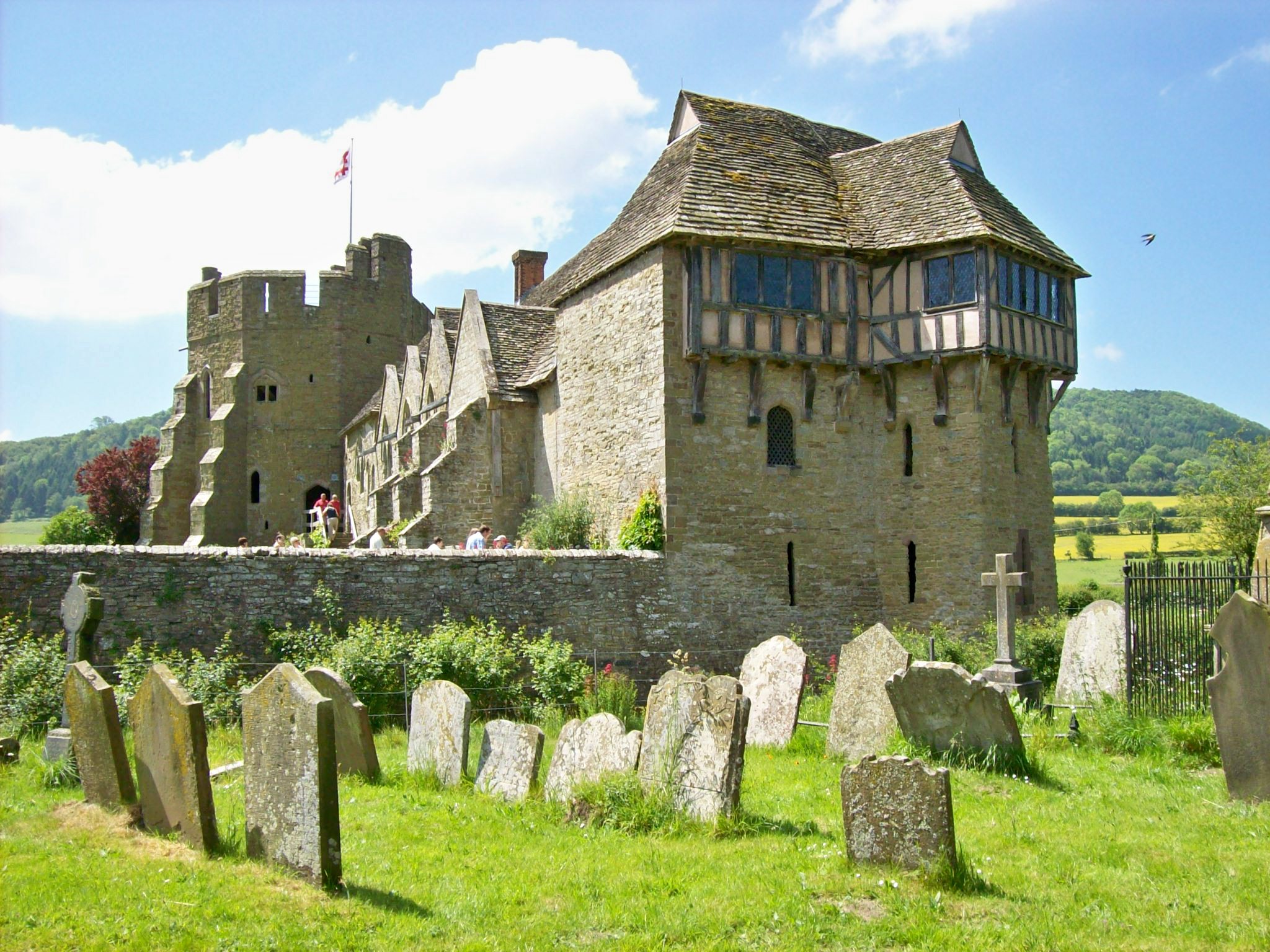
Stokesay Castle
Stokesay Castle is one of the finest surviving fortified manor houses in England, and situated at Stokesay in Shropshire. It was largely built in its present...
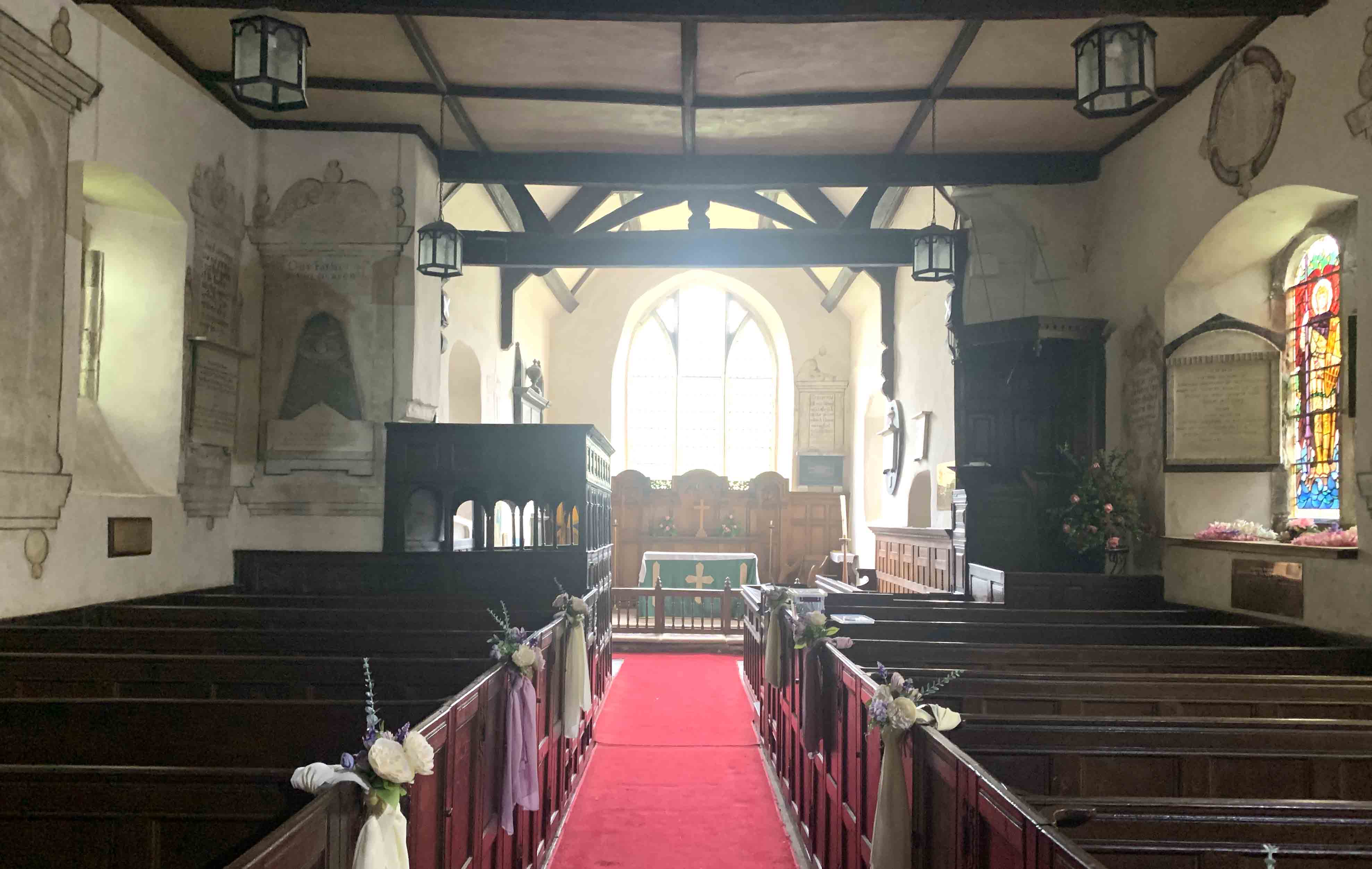
Church of St John the Baptist, Stokesay
The Church of St John the Baptist is a Grade I listed Church of England church in Stokesay, Shropshire, England, adjacent to Stokesay Castle. The church...

Stokesay
Stokesay is a village and former civil parish, now in the parish of Craven Arms, in the Shropshire district, in the ceremonial county of Shropshire, England...
Nearby Amenities
Located within 500m of 52.410558,-2.829568Have you been to Aldon?
Leave your review of Aldon below (or comments, questions and feedback).