Aldoth

Settlement in Cumberland Allerdale

England

Aldoth

Direction Sign - Signpost northeast of Aldoth Located on the west side of a junction northeast of Aldoth, in Holme Abbey parish. 3 arms, 1 missing, and pawn finial. The missing arm displayed TARNS 1¾ / MAWBRAY 4 / SILLOTH 4½ and was lost some time after April 2011.

Milestone Society National ID: CU_NY1449
Direction Sign - Signpost northeast of Aldoth Credit: B Todd

Aldoth is a small village located in the district of Allerdale, in the county of Cumberland, England. Situated in the picturesque region of the Lake District National Park, it is positioned approximately 6 miles southeast of the town of Wigton and 12 miles northwest of the city of Carlisle.

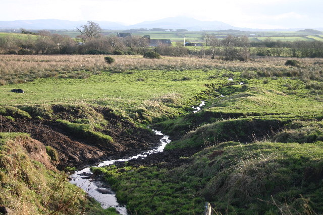
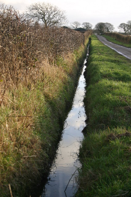
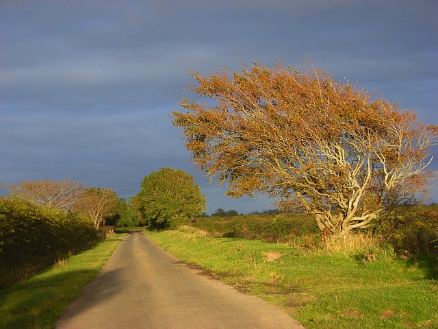
With its origins dating back to ancient times, Aldoth is a place steeped in history. The village features a charming mix of traditional stone-built cottages and houses, showcasing the architectural style of the region. Surrounded by rolling hills, lush green fields, and breathtaking landscapes, it offers a tranquil and idyllic setting for its residents and visitors.

Despite its small size, Aldoth offers a range of amenities to cater to the needs of its community. These include a village hall, a local pub, and a primary school, ensuring the villagers have access to essential services and facilities.

The village is ideally located for those who enjoy outdoor pursuits, with ample opportunities for hiking, cycling, and exploring the nearby natural wonders. Within a short distance, visitors can find attractions such as the Solway Coast Area of Outstanding Natural Beauty, the Lake District National Park, and the historic Carlisle Castle.

Aldoth is a close-knit community, known for its warm and welcoming atmosphere. Its residents take pride in their village and actively participate in local events and initiatives. With its rich history, stunning surroundings, and friendly community, Aldoth offers a quintessentially English countryside experience.

If you have any feedback on the listing, please let us know in the comments section below.
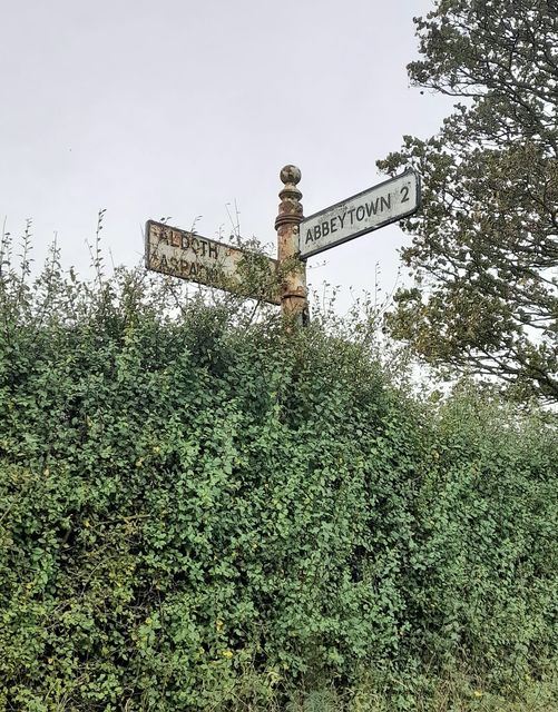
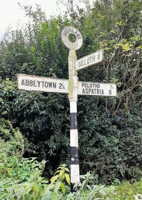
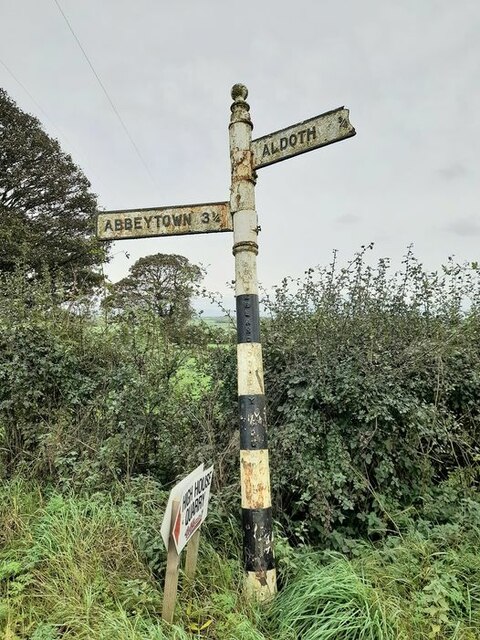
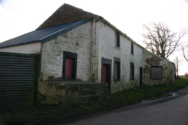
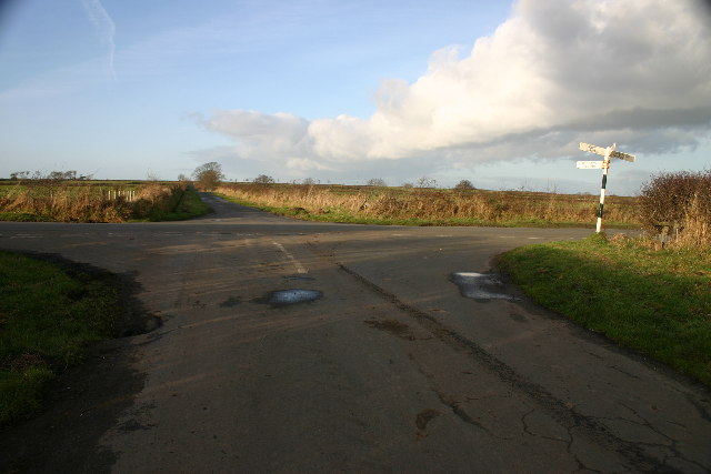
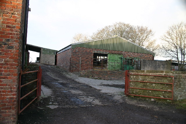
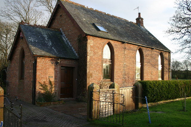
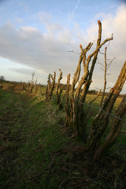
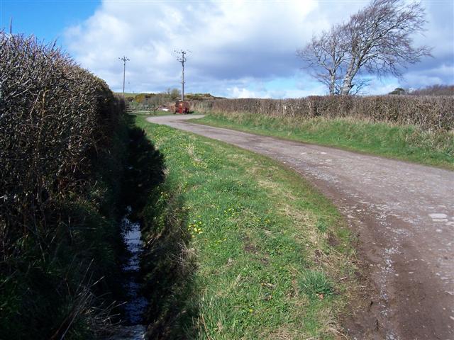
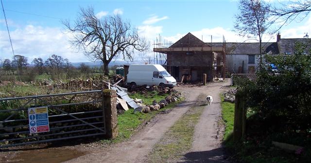
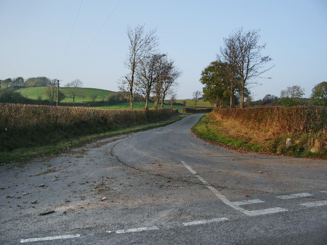
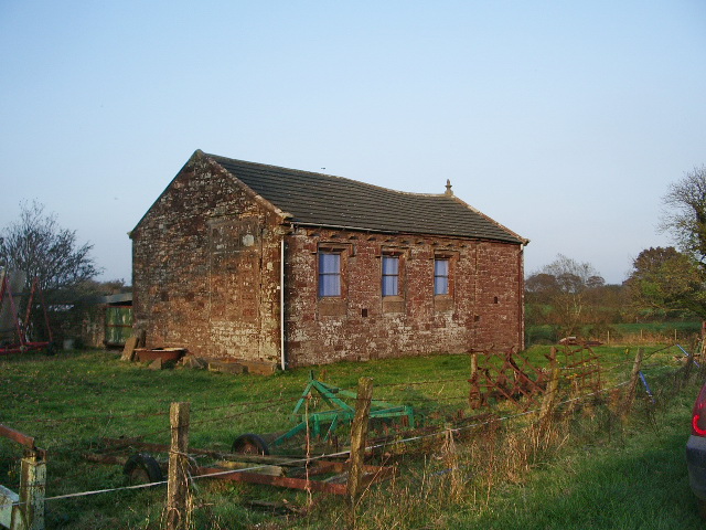
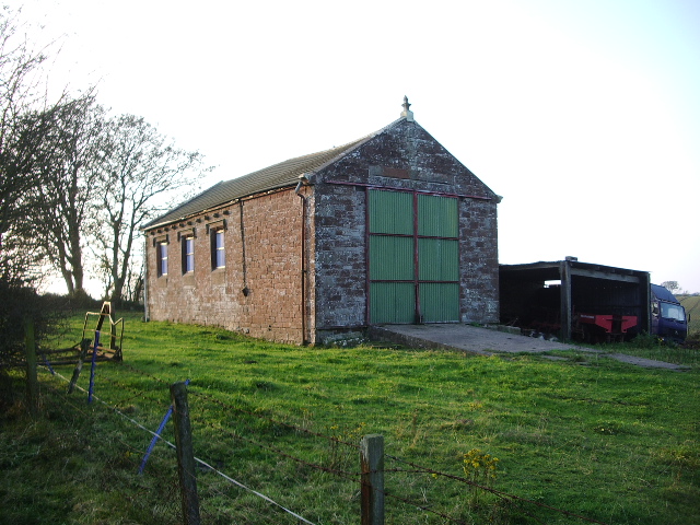
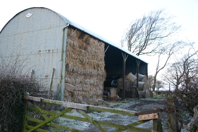
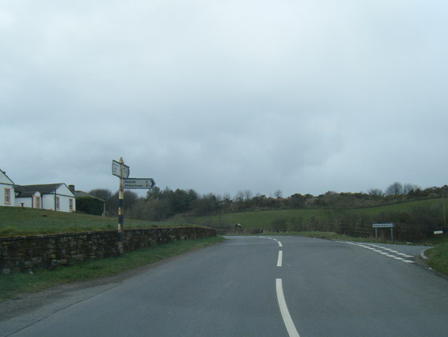
Aldoth Images

Images are sourced within 2km of 54.826269/-3.333958 or Grid Reference NY1448. Thanks to Geograph Open Source API. All images are credited.

Direction Sign - Signpost northeast of Aldoth Located on the west side of a junction northeast of Aldoth, in Holme Abbey parish. 3 arms, 1 missing, and pawn finial. The missing arm displayed TARNS 1¾ / MAWBRAY 4 / SILLOTH 4½ and was lost some time after April 2011.

Milestone Society National ID: CU_NY1449
Direction Sign - Signpost northeast of Aldoth
Located on the west side of a junction northeast of Aldoth, in Holme Abbey parish. 3 arms, 1 missing, and pawn finial. The missing arm displayed TARNS 1¾ / MAWBRAY 4 / SILLOTH 4½ and was lost some time after April 2011. Milestone Society National ID: CU_NY1449
Direction Sign - Signpost at Highlaws Located on the south side of a junction in Highlaws, in Holme Abbey parish. 3 arms and annulus finial.

Milestone Society National ID: CU_NY1449A
Direction Sign - Signpost at Highlaws
Located on the south side of a junction in Highlaws, in Holme Abbey parish. 3 arms and annulus finial. Milestone Society National ID: CU_NY1449A
Direction Sign - Signpost near Cobble Hall Located on the southeast side of the T junction near Cobble Hall, in Holme Abbey parish. 3 arms, 1 missing, and pawn finial. The missing arm indicated ASPATRIA 4¾ and was lost between May 2009 and March 2010.

Milestone Society National ID: CU_NY1347
Direction Sign - Signpost near Cobble Hall
Located on the southeast side of the T junction near Cobble Hall, in Holme Abbey parish. 3 arms, 1 missing, and pawn finial. The missing arm indicated ASPATRIA 4¾ and was lost between May 2009 and March 2010. Milestone Society National ID: CU_NY1347
Bog The derelict farm is called Bog
Bog
The derelict farm is called Bog
Drainage ditch Runs past Cowfold Farm into Common Moss
Drainage ditch
Runs past Cowfold Farm into Common Moss
Sand Pit Small-scale sand extraction
Sand Pit
Small-scale sand extraction
Drainage Ditch Runs from Smarthill
Drainage Ditch
Runs from Smarthill
Old Milk Stand At Southerfield House
Old Milk Stand
At Southerfield House
Rural Crossroads
Rural Crossroads
Farm Buildings, Highlaws
Foulsyke Chapel
Foulsyke Chapel
Extreme Hedging This once-overgrown hedge has been rather severely cut back
Extreme Hedging
This once-overgrown hedge has been rather severely cut back
Barn, Pelutho A more traditional hay barn - less often seen due to use of silage
Barn, Pelutho
A more traditional hay barn - less often seen due to use of silage
Track to Weary Hall Quite a pronounced S in this track. Great for rally drivers if it were allowed.
Track to Weary Hall
Quite a pronounced S in this track. Great for rally drivers if it were allowed.
Sotherfield Farm. Undergoing major reconstruction.
Sotherfield Farm.
Undergoing major reconstruction.
Road The road to Aldoth south west of Bog
Road
The road to Aldoth south west of Bog
What was Aldoth School Last used as a school over 40yrs ago. After it was used as school for the local children it was used for adult education for a while. <span class="nowrap"><a title="http://myweb.tiscali.co.uk/hstchg/aldoth.htm" rel="nofollow ugc noopener" href="http://myweb.tiscali.co.uk/hstchg/aldoth.htm">Link</a><img style="margin-left:2px;" alt="External link" title="External link - shift click to open in new window" src="https://s1.geograph.org.uk/img/external.png" width="10" height="10"/></span>
What was Aldoth School
Last used as a school over 40yrs ago. After it was used as school for the local children it was used for adult education for a while. LinkExternal link
What was Aldoth School I am sure the green doors are an addition from when this was a school. <span class="nowrap"><a title="http://myweb.tiscali.co.uk/hstchg/aldoth.htm" rel="nofollow ugc noopener" href="http://myweb.tiscali.co.uk/hstchg/aldoth.htm">Link</a><img style="margin-left:2px;" alt="External link" title="External link - shift click to open in new window" src="https://s1.geograph.org.uk/img/external.png" width="10" height="10"/></span>
What was Aldoth School
I am sure the green doors are an addition from when this was a school. LinkExternal link
Show me another place!

Aldoth is located at Grid Ref: NY1448 (Lat: 54.826269, Lng: -3.333958)

Administrative County: Cumbria

District: Allerdale

Police Authority: Cumbria

What 3 Words

///jugs.foam.arching. Near Silloth, Cumbria

Related Wikis

Aldoth

Aldoth is a hamlet in the civil parish of Holme Abbey in Cumberland, Cumbria, United Kingdom. It is situated approximately two-and-a-half miles south-west...

Highlaws

Highlaws is a hamlet in the civil parish of Holme Abbey in Cumbria, United Kingdom. It is situated approximately two-and-a-quarter miles south-west of...

Foulsyke

Foulsyke is a small hamlet on the boundary between the civil parishes of Holme Abbey and Holme St. Cuthbert in Cumbria, United Kingdom. It is located just...

Pelutho

Pelutho is a hamlet in the civil parish of Holme St. Cuthbert in Cumbria, historically in Cumberland, England. It is situated on the B5301 road between...

Tarns, Cumbria

Tarns is a small farming settlement in the civil parish of Holme St. Cuthbert in Cumbria, United Kingdom. It is located two miles north-east of the village...
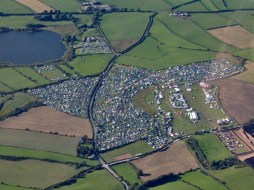
Solfest

Solfest is a music and arts festival on the Solway Coast in the North West of England. It is held annually at North Lakes Country Park on the August Bank...

Aikshaw

Aikshaw is a hamlet in the civil parish of Holme St. Cuthbert in Cumbria, United Kingdom. It is located approximately one-and-a-half miles north-west of...

Holme Low

Holme Low is a civil parish in the Allerdale borough of Cumbria, United Kingdom. It borders the parishes of Holme St. Cuthbert and Holme Abbey to the south...

Nearby Amenities

Located within 500m of 54.826269,-3.333958
Round Hill at Rose Farm
Naptan AtcoCode: 090002321541
Naptan Bearing: E
Naptan BusStopType: CUS
Naptan CommonName: Round Hill at Rose Farm
Naptan Indicator: near
Naptan Landmark: telephone box outside Rose Farm
Naptan NaptanCode: cumadwat
Naptan Street: No name
Naptan Verified: no
Source: naptan_import
Lat/Long: 54.8255627/-3.3356447
Post Box
Ref: CA7 8
Lat/Long: 54.8243486/-3.3311868
Aldoth
Place: hamlet
Wikidata: Q4713972
Lat/Long: 54.8255589/-3.3339014
Power: pole
Lat/Long: 54.8232356/-3.3383654
Power: pole
Lat/Long: 54.823676/-3.3367098
Power: pole
Lat/Long: 54.8242026/-3.3347882
Power: pole
Lat/Long: 54.8246107/-3.3332967
Power: pole
Lat/Long: 54.8255896/-3.3327067
Power: pole
Lat/Long: 54.8266331/-3.3320731
The data included in this document is from www.openstreetmap.org. The data is made available under ODbL.

Have you been to Aldoth?

Leave your review of Aldoth below (or comments, questions and feedback).