Aldreth

Settlement in Cambridgeshire East Cambridgeshire

England

Aldreth

Linden End Doles
Linden End Doles Credit: Hugh Venables

Aldreth is a small village located in the county of Cambridgeshire, England. Situated approximately 10 miles north of the city of Ely, it lies on the eastern bank of the River Great Ouse. With a population of around 350 residents, Aldreth is a tight-knit community that offers a peaceful and picturesque setting.

The village is known for its rich history, dating back to the Roman era. Evidence of Roman occupation has been found in the area, including pottery fragments and coins. The name "Aldreth" is derived from the Old English words "ald" and "hrȳð," meaning old landing place.

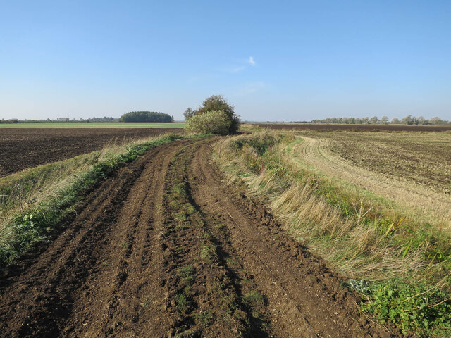
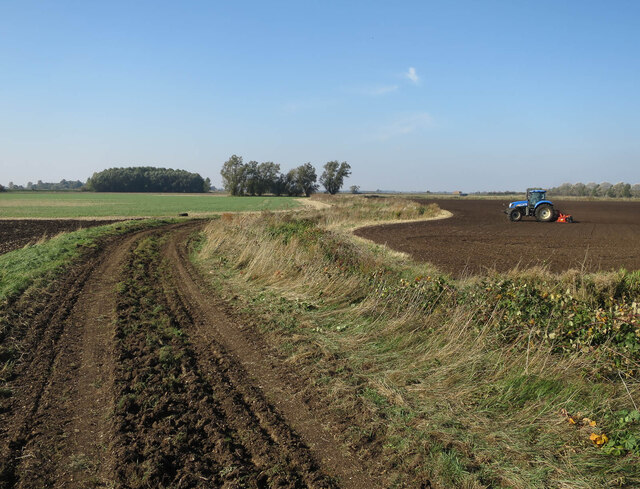
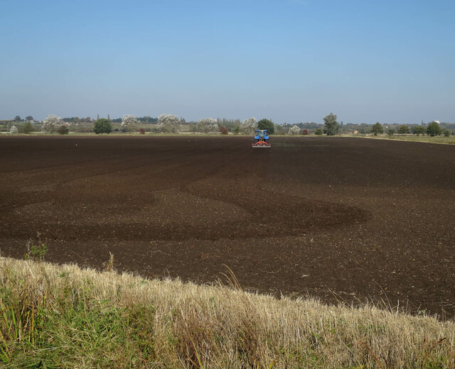
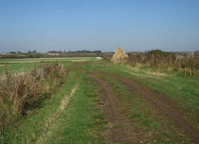
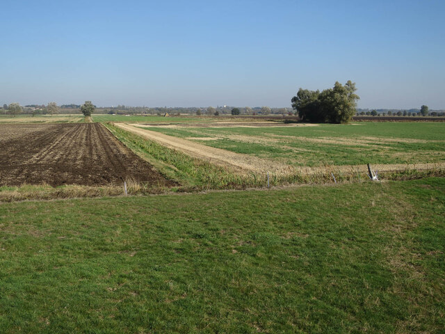
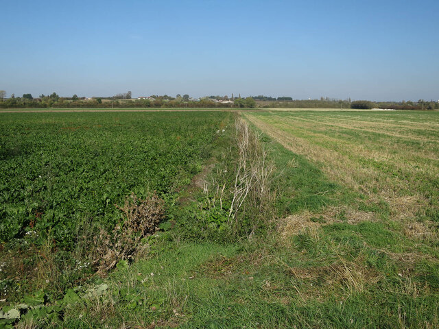
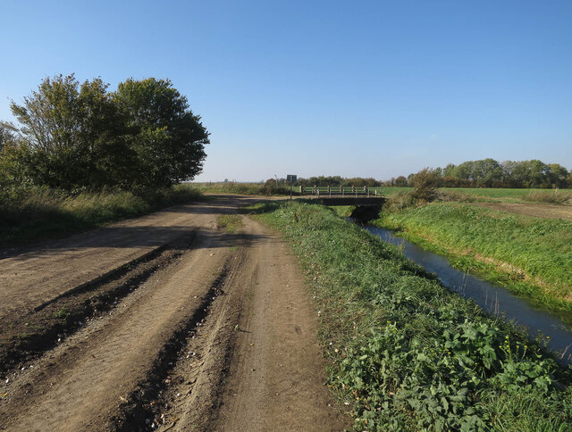
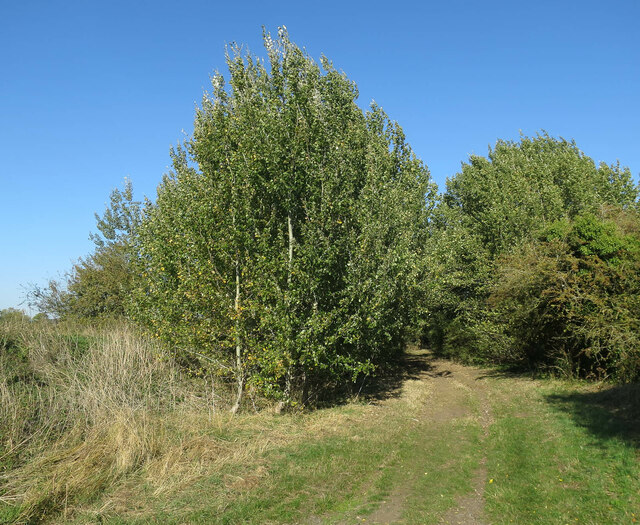
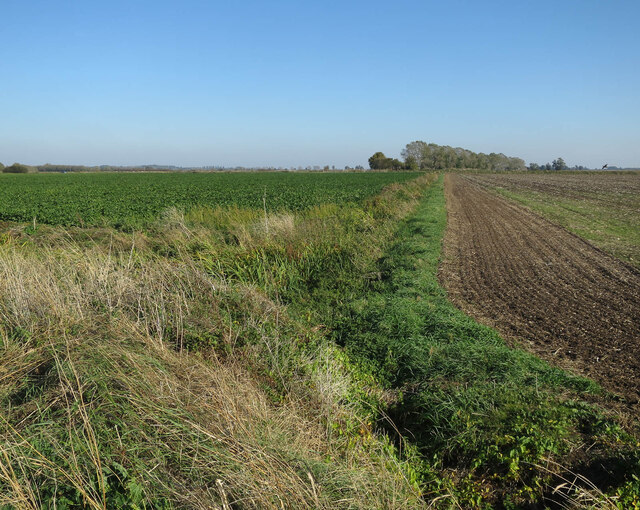
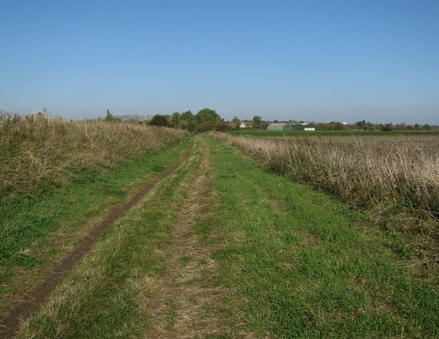
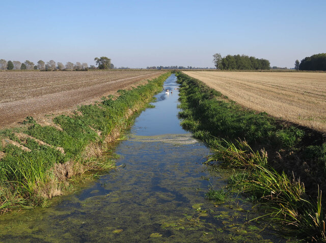
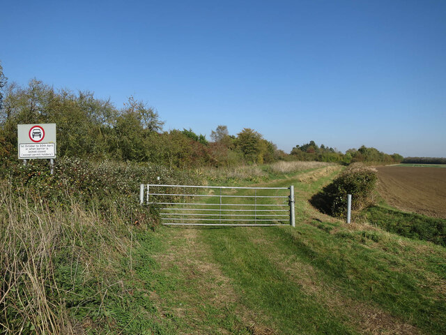
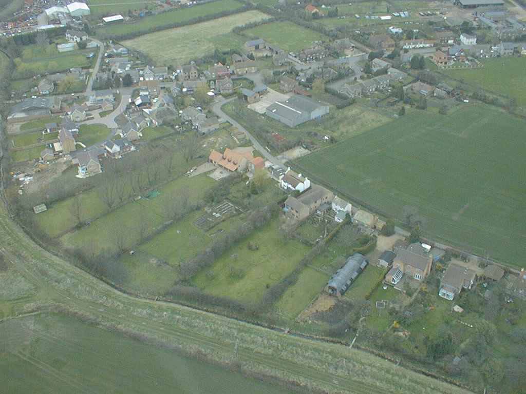
The landscape surrounding Aldreth is characterized by vast expanses of flat farmland, dotted with charming cottages and traditional farmhouses. The fertile fields are primarily used for arable farming, with crops such as wheat, barley, and sugar beet being cultivated. The river plays a significant role in the village's agricultural activities, providing a valuable water source for irrigation.

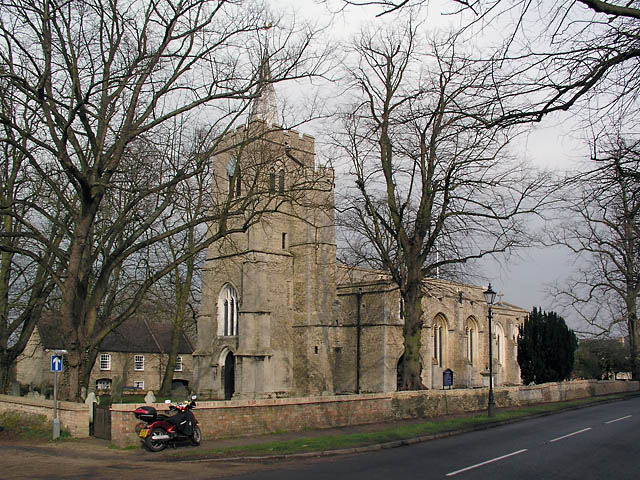
Aldreth is home to the historic St. Mary's Church, a Grade II* listed building that dates back to the 12th century. The church's architecture showcases a mix of Norman and Gothic styles and features an impressive medieval tower. It serves as a gathering place for religious worship and community events.

Despite its small size, Aldreth enjoys a close proximity to several larger towns and cities. The nearby city of Ely offers a range of amenities, including shops, schools, and leisure facilities, ensuring that residents have easy access to essential services.

In summary, Aldreth is a charming village in Cambridgeshire that boasts a rich history, picturesque surroundings, and a strong sense of community.

If you have any feedback on the listing, please let us know in the comments section below.
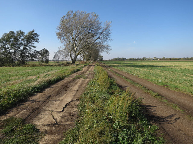
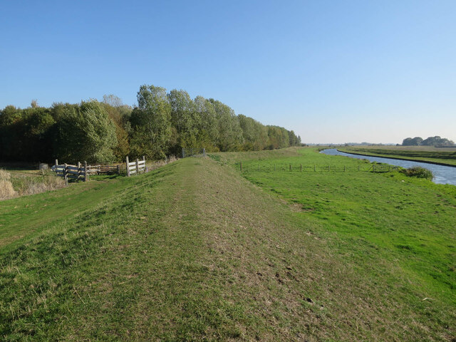
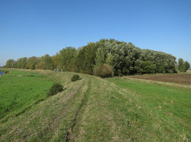
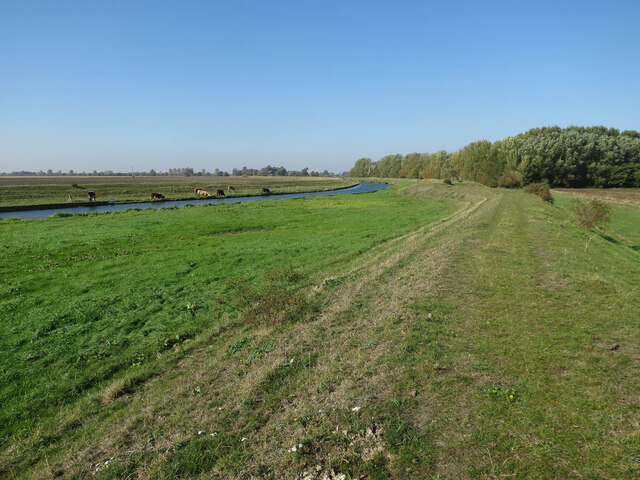
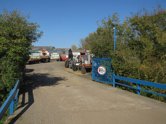
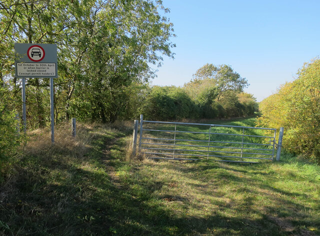
Aldreth Images

Images are sourced within 2km of 52.340512/0.119662 or Grid Reference TL4473. Thanks to Geograph Open Source API. All images are credited.

Linden End Doles
Linden End Doles
Linden End Doles
Linden End Doles
Field by Linden End Doles
Lakes Drove
Lakes Drove
Cross Drove The actual concrete roads are in such a state that there are dirt tracks parallel to them.
Cross Drove
The actual concrete roads are in such a state that there are dirt tracks parallel to them.
Ouse Valley Way past Nine Acre Wood
River Great Ouse washland Raised river bank set back from the main channel, to give extra volume in wet periods.
River Great Ouse washland
Raised river bank set back from the main channel, to give extra volume in wet periods.
Fields by the Great Ouse
Fields by Cross Drove
Cross Drove towards Church Fen Bridge With the dirt track rejoining the concrete road it has been paralleling as a smoother option.
Cross Drove towards Church Fen Bridge
With the dirt track rejoining the concrete road it has been paralleling as a smoother option.
Trees by Aldreth Causeway
Church Fen by Aldreth Causeway
Aldreth Causeway An ancient route across the Great Ouse to Aldreth (and thus the Isle of Ely). See <span class="nowrap"><a title="http://ousewashes.org.uk/explore/aldreth-causeway/" rel="nofollow ugc noopener" href="http://ousewashes.org.uk/explore/aldreth-causeway/">Link</a><img style="margin-left:2px;" alt="External link" title="External link - shift click to open in new window" src="https://s1.geograph.org.uk/img/external.png" width="10" height="10"/></span> and <a href="https://www.geograph.org.uk/photo/1139646">TL4372 : Aldreth Causeway sign</a>
Aldreth Causeway
An ancient route across the Great Ouse to Aldreth (and thus the Isle of Ely). See LinkExternal link and TL4372 : Aldreth Causeway sign
Drain across Church Fen
Fen Side byway closed for winter One of the old routes contouring around the boundary between fenland fields (previously marshland) and higher (drier) ground. These are connected by straight causeways across the old marshland.
Fen Side byway closed for winter
One of the old routes contouring around the boundary between fenland fields (previously marshland) and higher (drier) ground. These are connected by straight causeways across the old marshland.
David Harrison yard, Aldreth
Fen Side byway closed for winter One of the old routes contouring around the boundary between fenland fields (previously marshland) and higher (drier) ground. These are connected by straight causeways across the old marshland.
Fen Side byway closed for winter
One of the old routes contouring around the boundary between fenland fields (previously marshland) and higher (drier) ground. These are connected by straight causeways across the old marshland.
Show me another place!

Aldreth is located at Grid Ref: TL4473 (Lat: 52.340512, Lng: 0.119662)

Division: Isle of Ely

Administrative County: Cambridgeshire

District: East Cambridgeshire

Police Authority: Cambridgeshire

What 3 Words

///arranges.screening.chair. Near Haddenham, Cambridgeshire

Nearby Locations

Aldreth

Related Wikis

Aldreth

Aldreth is a hamlet in Cambridgeshire with about 260 residents (2001 census). It is located near the larger village of Haddenham (where the population...

Haddenham, Cambridgeshire

Haddenham is a village and civil parish in Cambridgeshire, England. In the 2001 census the parish had a population of 3,228. The 2011 census reported a...

Haddenham railway station (Cambridgeshire)

Haddenham railway station was a station in Haddenham, Cambridgeshire. It was first opened in 1866 by the Ely, Haddenham and Sutton Railway. It closed to...

Doghouse Grove

Doghouse Grove is a 0.8-hectare (2.0-acre) nature reserve in Wilburton in Cambridgeshire. It is managed by the Wildlife Trust for Bedfordshire, Cambridgeshire...

Belsar's Hill

Belsar's Hill is a hillfort near Willingham, Cambridgeshire, England. == Description == Belsar's Hill is an oval-shaped area, 265–220 metres (869–722 ft...

Willingham, Cambridgeshire

Willingham is a village in Cambridgeshire, England. It is located in the South Cambridgeshire district and sits just outside the border of the Fens, just...

Wilburton

Wilburton is a small village of just over 1,000 inhabitants, situated in Cambridgeshire, England. It is 6 miles south west of Ely. While nominally an agricultural...

Huntingdonshire Football Association

The Huntingdonshire Football Association, also simply known as the Huntingdonshire FA, is the governing body of football in Huntingdonshire. == References... ==

Nearby Amenities

Located within 500m of 52.340512,0.119662
Place Of Worship
Aldreth Chapel
Religion: christian
Lat/Long: 52.3405264/0.1211418
Bus Stop
The Borough
Naptan AtcoCode: 0500EHADM003
Naptan Bearing: SW
Naptan CommonName: The Borough
Naptan Indicator: near
Naptan Landmark: The Borough
Naptan NaptanCode: cmbdgwaj
Naptan ShortCommonName: The Borough
Naptan Street: High Street
Naptan Verified: no
Source: naptan_import
Lat/Long: 52.3393629/0.1202363
Bus Stop
The Borough
Naptan AtcoCode: 0500EHADM004
Naptan Bearing: NE
Naptan BusStopType: CUS
Naptan CommonName: The Borough
Naptan Indicator: opp
Naptan Landmark: The Borough
Naptan NaptanCode: cmbdgwam
Naptan ShortCommonName: The Borough
Naptan Street: High Street
Naptan Verified: no
Source: naptan_import
Lat/Long: 52.3393661/0.1200603
Power: pole
Lat/Long: 52.3397575/0.1246474
Power: pole
Lat/Long: 52.3392299/0.1248567
Design: h-frame
Material: wood
Power: tower
Lat/Long: 52.3383615/0.1252373
Power: pole
Lat/Long: 52.3411638/0.1263319
Power: pole
Lat/Long: 52.3404591/0.1254948
Power: pole
Lat/Long: 52.3406457/0.1222683
Power: pole
Lat/Long: 52.3410635/0.1232876
Power: pole
Lat/Long: 52.3404425/0.121791
Power: pole
Lat/Long: 52.3421452/0.1178374
Power: pole
Lat/Long: 52.3423909/0.1192294
Power: pole
Lat/Long: 52.3430907/0.1177623
Power: pole
Lat/Long: 52.343479/0.1166089
Power: pole
Lat/Long: 52.3426646/0.1189264
Power: pole
Lat/Long: 52.3437576/0.1166196
Power: pole
Lat/Long: 52.3416912/0.1150023
Power: pole
Lat/Long: 52.3414422/0.1135859
Power: pole
Lat/Long: 52.3419143/0.1164236
Aldreth
Place: village
Source: npe
Wikidata: Q1902748
Lat/Long: 52.3384039/0.120475
Post Box
Collection Times: Mo-Fr 16:15; Sa 09:15
Operator: Royal Mail
Post Box Type: lamp
Ref: CB6 30
Royal Cypher: EIIR
Royal Cypher Wikidata: Q33102113
Source: survey
Lat/Long: 52.3403153/0.1206101
Generator Method: photovoltaic
Generator Output Electricity: yes
Generator Source: solar
Generator Type: solar_photovoltaic_panel
Location: roof
Power: generator
Lat/Long: 52.3382432/0.1186556
Generator Method: photovoltaic
Generator Output Electricity: yes
Generator Source: solar
Generator Type: solar_photovoltaic_panel
Location: roof
Power: generator
Lat/Long: 52.3382251/0.1186985
Generator Method: photovoltaic
Generator Output Electricity: yes
Generator Source: solar
Generator Type: solar_photovoltaic_panel
Location: roof
Power: generator
Lat/Long: 52.3379236/0.120281
Generator Method: photovoltaic
Generator Output Electricity: yes
Generator Source: solar
Generator Type: solar_photovoltaic_panel
Location: roof
Power: generator
Lat/Long: 52.3385627/0.1217535
Generator Method: photovoltaic
Generator Output Electricity: yes
Generator Source: solar
Generator Type: solar_photovoltaic_panel
Location: roof
Power: generator
Lat/Long: 52.338412/0.1213512
Generator Method: photovoltaic
Generator Output Electricity: yes
Generator Source: solar
Generator Type: solar_photovoltaic_panel
Location: roof
Power: generator
Lat/Long: 52.3426039/0.1237732
Generator Method: photovoltaic
Generator Output Electricity: yes
Generator Source: solar
Generator Type: solar_photovoltaic_panel
Location: roof
Power: generator
Lat/Long: 52.3409586/0.1217428
Generator Method: photovoltaic
Generator Output Electricity: yes
Generator Source: solar
Generator Type: solar_photovoltaic_panel
Location: roof
Power: generator
Lat/Long: 52.3401306/0.120969
Generator Method: photovoltaic
Generator Output Electricity: yes
Generator Source: solar
Generator Type: solar_photovoltaic_panel
Location: roof
Power: generator
Lat/Long: 52.3394674/0.1210964
Generator Method: photovoltaic
Generator Output Electricity: yes
Generator Source: solar
Generator Type: solar_photovoltaic_panel
Location: roof
Power: generator
Lat/Long: 52.3393346/0.1195863
Generator Method: photovoltaic
Generator Output Electricity: yes
Generator Source: solar
Generator Type: solar_photovoltaic_panel
Location: roof
Power: generator
Lat/Long: 52.3387119/0.1193637
Access: private
Fee: yes
Group Only: yes
Tourism: camp_site
Lat/Long: 52.3386093/0.124996
Booth: K6
Colour: red
Disused Amenity: telephone
Man Made: telephone_box
Lat/Long: 52.3403272/0.1206175
Power: transformer
Lat/Long: 52.3392236/0.124206
Power: transformer
Lat/Long: 52.3392655/0.1243186
Power: transformer
Lat/Long: 52.3393069/0.1244405
Power: transformer
Lat/Long: 52.339364/0.1245876
Power: transformer
Lat/Long: 52.3393969/0.1247049
The data included in this document is from www.openstreetmap.org. The data is made available under ODbL.

Have you been to Aldreth?

Leave your review of Aldreth below (or comments, questions and feedback).