Aldridge
Settlement in Staffordshire
England
Aldridge
Aldridge is a small town located in the county of Staffordshire, England. Situated approximately 9 miles north of Birmingham, it is part of the Metropolitan Borough of Walsall. Aldridge has a population of around 20,000 residents.
The town is known for its rich history, with evidence of human settlement dating back to the Roman times. In the 19th century, Aldridge thrived as a coal mining town, contributing significantly to the local economy. However, with the decline of the coal industry, Aldridge transformed into a residential area with a mix of housing estates and older properties.
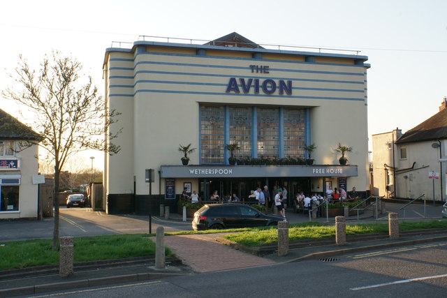
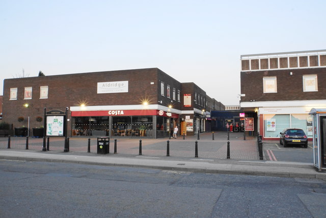
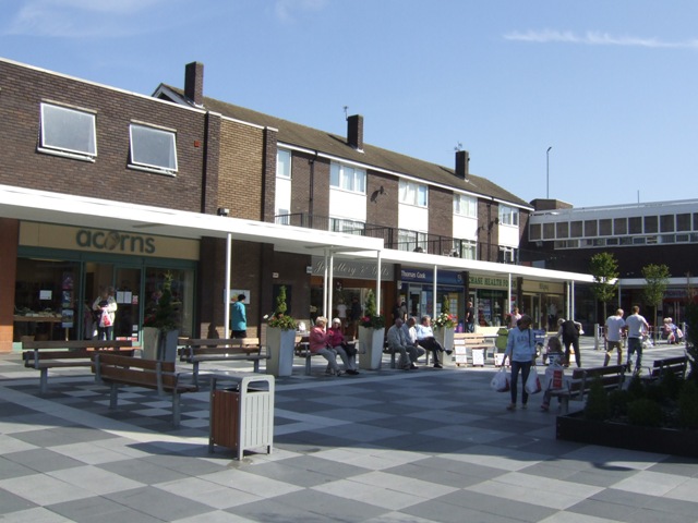
Aldridge is well-served by several amenities and facilities. The town center offers a variety of shops, including both local independent stores and larger retail chains. There are also numerous eateries, cafes, and pubs, providing a range of dining options.
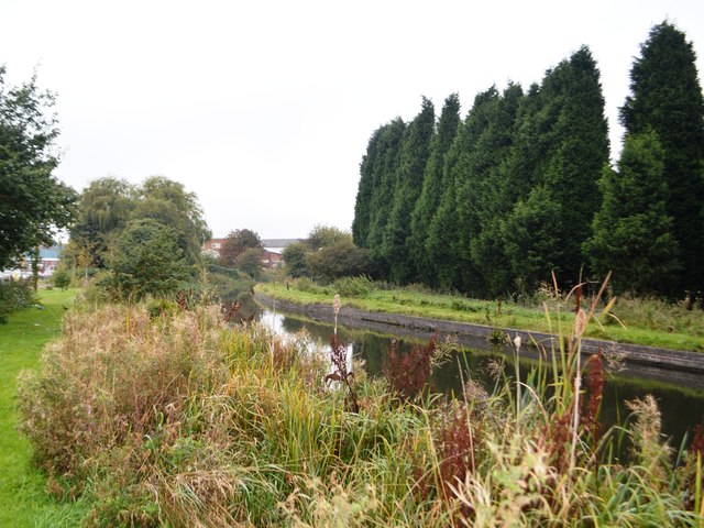
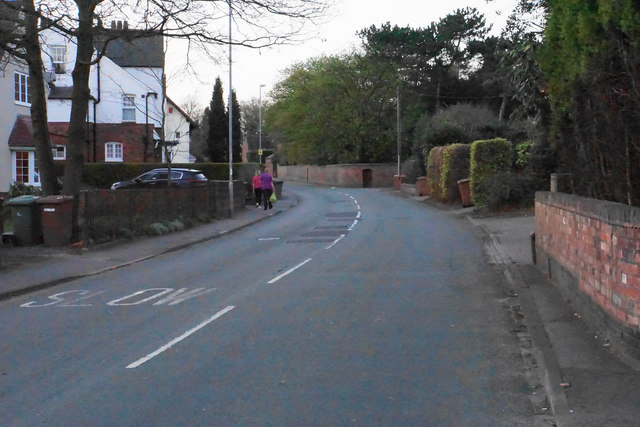
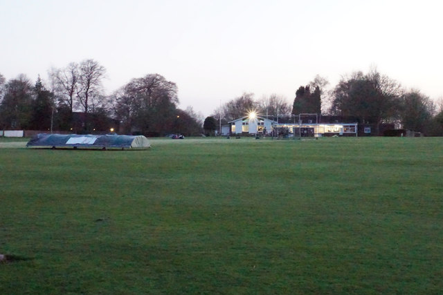
The community in Aldridge benefits from several green spaces, such as The Croft, a popular park with a lake, playgrounds, and sports facilities. Additionally, the town is surrounded by picturesque countryside, offering opportunities for outdoor activities and walks.
The transport links in Aldridge are convenient, with regular bus services connecting the town to nearby areas. The M6 motorway is easily accessible, providing quick connections to other parts of the country.
Overall, Aldridge is a charming town that combines its historical heritage with modern amenities, making it an attractive place to live or visit in Staffordshire.
If you have any feedback on the listing, please let us know in the comments section below.
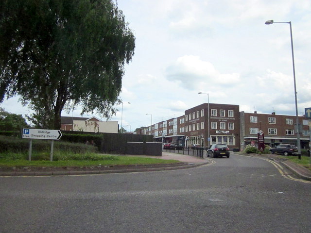
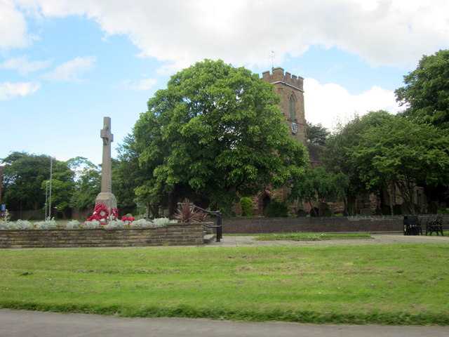
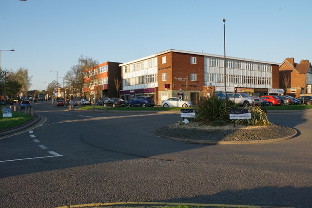
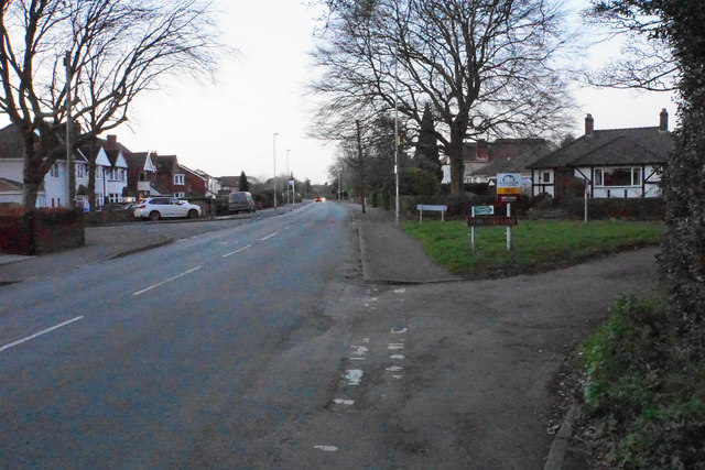
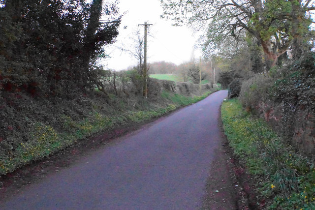
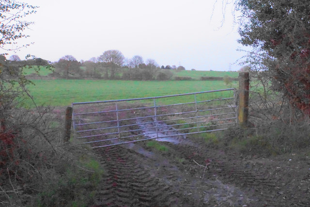
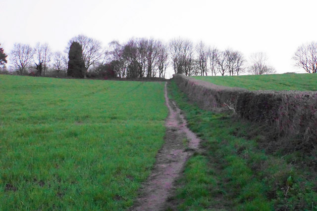
Aldridge Images
Images are sourced within 2km of 52.601335/-1.920236 or Grid Reference SK0500. Thanks to Geograph Open Source API. All images are credited.
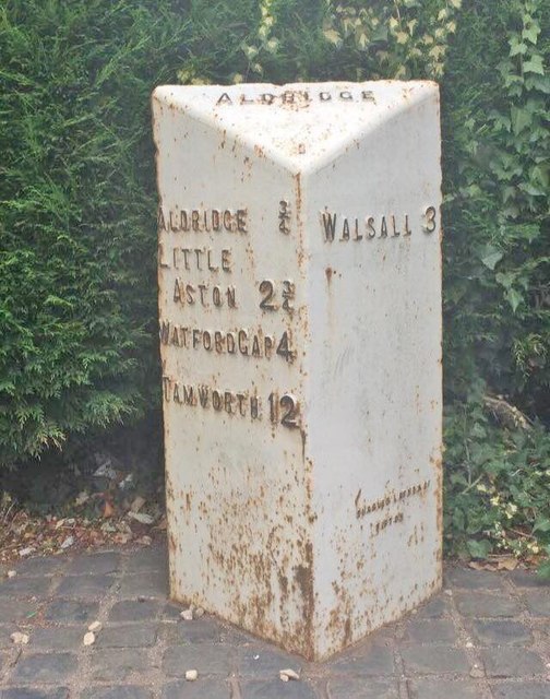
Aldridge is located at Grid Ref: SK0500 (Lat: 52.601335, Lng: -1.920236)
Unitary Authority: Walsall
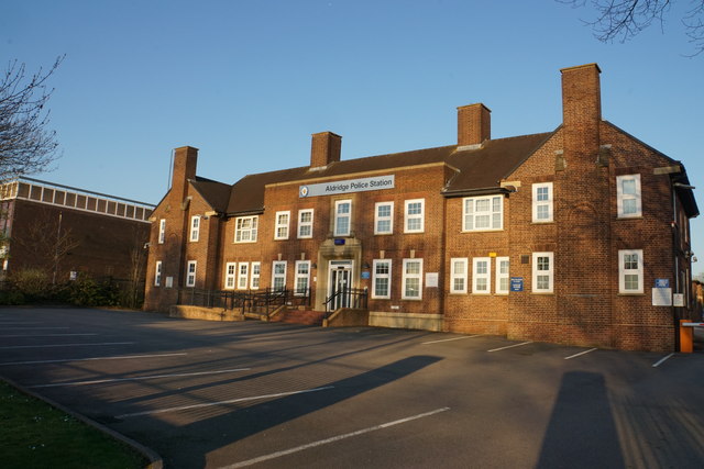
Police Authority: West Midlands
What 3 Words
///rails.pack.force. Near Aldridge, West Midlands
Nearby Locations
Related Wikis

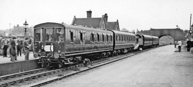
Aldridge railway station
Aldridge railway station is a disused station on the Midland Railway in England. It was opened in 1879 and closed in 1965, although the track through the...

Aldridge-Brownhills Urban District
Aldridge-Brownhills was an urban district in Staffordshire, England from 1966 to 1974. The district was formed in accordance with a recommendation of the...
Aldridge School
Aldridge School is a mixed secondary school and sixth form with academy status located in Aldridge, in the Metropolitan Borough of Walsall in the West...
Aldridge
Aldridge is a town and civil parish in the Walsall borough, West Midlands, England. It is historically a village that was part of Staffordshire until 1974...
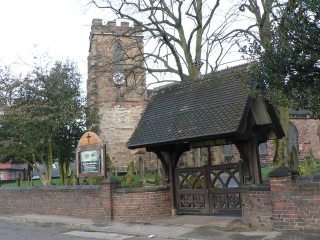
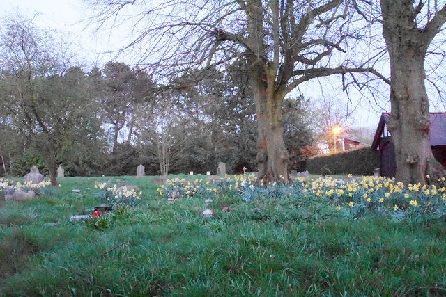
St Mary's Church, Aldridge
St. Mary's Church is the parish church of Aldridge, a town in the Metropolitan Borough of Walsall, England. It is operated by the Church of England. The...
St Francis of Assisi Catholic College
St. Francis of Assisi Catholic College is a mixed Roman Catholic secondary school in Walsall, England. It was previously known as St Francis of Assisi...
Walsall Rural District
Walsall was a rural district in Staffordshire, England from 1894 to 1934. It was created by the Local Government Act 1894 based on Walsall rural sanitary...

Aldridge-Brownhills (UK Parliament constituency)
Aldridge-Brownhills () is a constituency in the West Midlands, represented in the House of Commons of the UK Parliament since 2015 by Wendy Morton, a Conservative...
Nearby Amenities
Located within 500m of 52.601335,-1.920236Have you been to Aldridge?
Leave your review of Aldridge below (or comments, questions and feedback).