Aldingham Scar

Coastal Marsh, Saltings in Lancashire South Lakeland

England

Aldingham Scar

Riddings Lane off Coast Road
Riddings Lane off Coast Road Credit: Alexander P Kapp

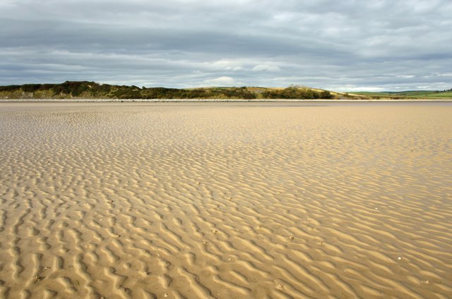
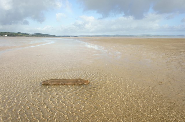
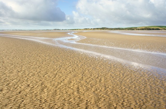
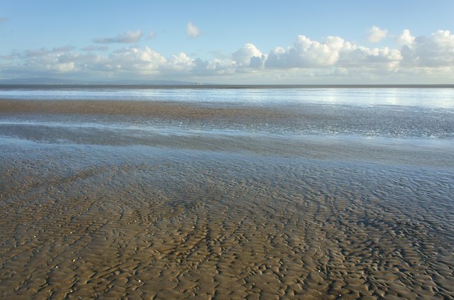
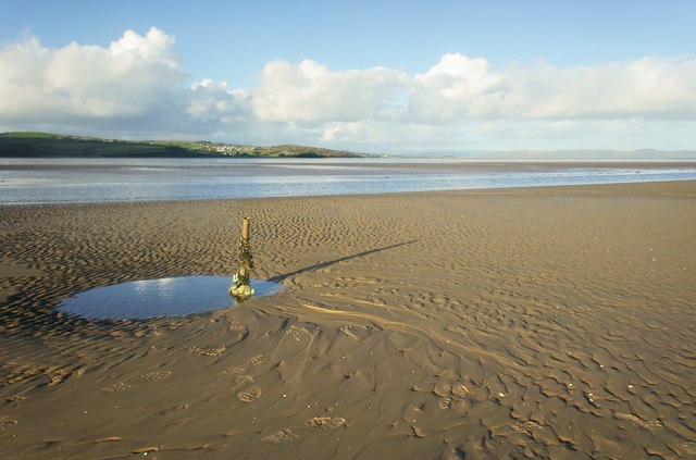
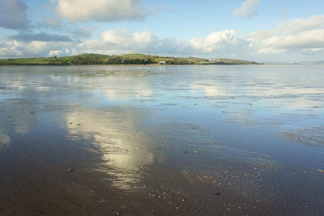
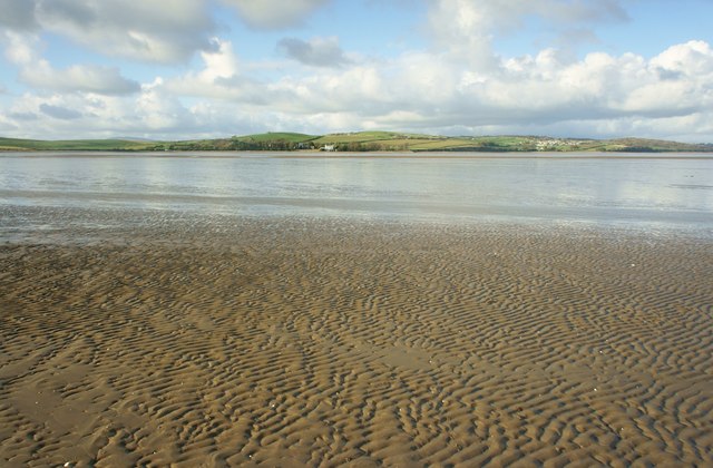
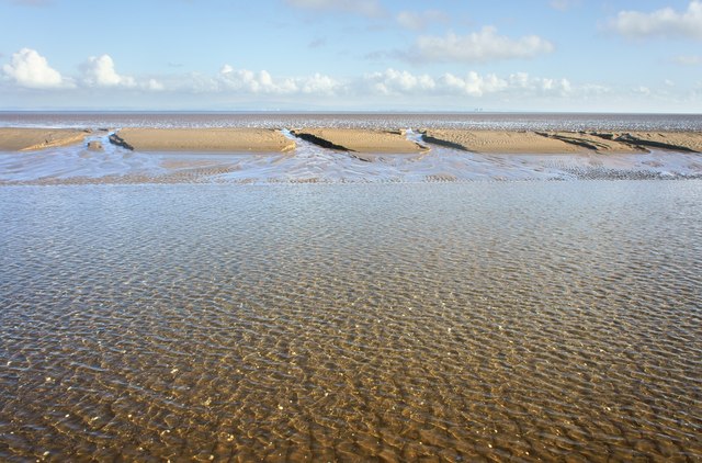
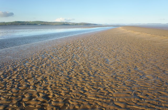
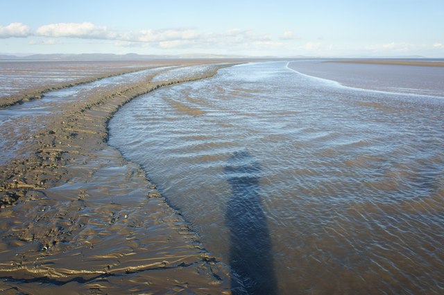
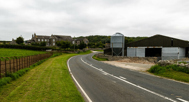
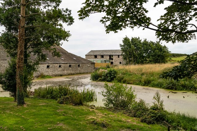
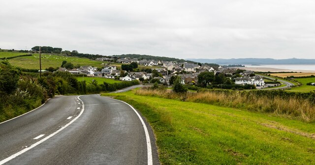
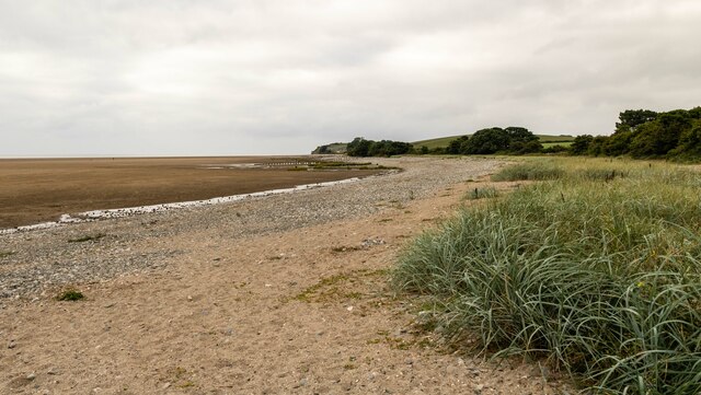
Aldingham Scar is a prominent coastal feature located in Lancashire, England. It is situated along the southernmost part of Morecambe Bay, a large estuary on the Irish Sea coast. The Scar is known for its vast expanse of coastal marshes and saltings, making it a significant ecological site.

The marshes of Aldingham Scar are predominantly salt marshes, which are characterized by their high salt content and the presence of specific vegetation that can tolerate such conditions. These marshes serve as a vital habitat for a wide variety of plant and animal species, including salt-tolerant grasses, samphire, and sea lavender. They also provide an important feeding ground for numerous bird species, such as waders and wildfowl.

The Scar itself is an elevated ridge composed of glacial till and boulder clay, formed during the last Ice Age. It stretches for approximately 5 kilometers along the coast, offering breathtaking views of the estuary and the surrounding countryside.

The area is a popular destination for nature lovers, birdwatchers, and hikers, who can explore the diverse flora and fauna that inhabit the marshes. It is also a designated Site of Special Scientific Interest (SSSI) due to its ecological importance.

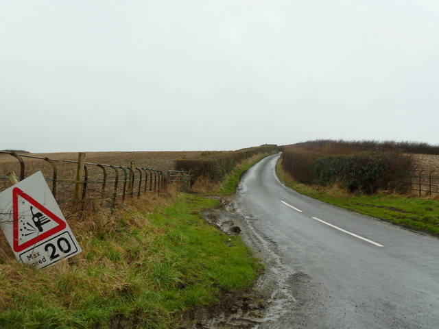
Visitors to Aldingham Scar should be mindful of the tides and the potential for quicksand in certain areas. It is recommended to check the tide times and be cautious when venturing onto the marshes.

If you have any feedback on the listing, please let us know in the comments section below.

Aldingham Scar Images

Images are sourced within 2km of 54.131145/-3.093301 or Grid Reference SD2871. Thanks to Geograph Open Source API. All images are credited.

Riddings Lane off Coast Road
Sand flat in Morecambe Bay Out on the sands looking back to Moat Scar
Sand flat in Morecambe Bay
Out on the sands looking back to Moat Scar
Drift Lumber in the intertidal zone
Sand Flat in the intertidal zone The village of Newbiggin can be seen left of centre
Sand Flat in the intertidal zone
The village of Newbiggin can be seen left of centre
Sand flat in the intertidal zone On the horizon seen 15 kilometres across Morecambe bay are the nuclear power stations at Heysham
Sand flat in the intertidal zone
On the horizon seen 15 kilometres across Morecambe bay are the nuclear power stations at Heysham
Metal post on a sand bank Above the metal post the village of Baycliff can be seen 2.5 kilometres away in the distance
Metal post on a sand bank
Above the metal post the village of Baycliff can be seen 2.5 kilometres away in the distance
Sand flat in the intertidal zone St Cuthbert’s Church Aldingham is just left of the white building
Sand flat in the intertidal zone
St Cuthbert’s Church Aldingham is just left of the white building
Sand flat in the intertidal zone St Cuthbert’s Church Aldingham is just to the left of the white building
Sand flat in the intertidal zone
St Cuthbert’s Church Aldingham is just to the left of the white building
Sandbank in Morecambe Bay On the horizon seen 15 kilometres across Morecambe Bay are the nuclear power stations at Heysham.
Sandbank in Morecambe Bay
On the horizon seen 15 kilometres across Morecambe Bay are the nuclear power stations at Heysham.
Sand flat in the intertidal zone In the centre is the village of Baycliff, the white building to the left is at Aldingham
Sand flat in the intertidal zone
In the centre is the village of Baycliff, the white building to the left is at Aldingham
Channel cutting through the sand
Field under plastic mulch film
A5087 Coast Road The A5087 Coast Road at Seawood Farm.
A5087 Coast Road
The A5087 Coast Road at Seawood Farm.
Aldingham Nursing Home
Moat Farm
Moat Farm
Aldingham Hall
Aldingham Hall
Elbow Scar
Elbow Scar
Show me another place!

Aldingham Scar is located at Grid Ref: SD2871 (Lat: 54.131145, Lng: -3.093301)

Administrative County: Cumbria

District: South Lakeland

Police Authority: Cumbria

What 3 Words

///questions.circus.sharpen. Near Dalton in Furness, Cumbria

Related Wikis

Aldingham

Aldingham is a village and civil parish in the South Lakeland district of Cumbria, England. Historically in Lancashire, it is situated on the east coast...

Baycliff

Baycliff is a seaside village in the South Lakeland District of Cumbria in England. Historically in Lancashire, it lies 3 miles (4.8 km) south of Ulverston...

Scales, Aldingham

Scales is a small village in Westmorland and Furness, Cumbria, England. The town of Ulverston is around 3.5 miles south of the village. The name Scales...

Gleaston Castle

Gleaston Castle is a medieval building in a valley about 1 kilometre (0.62 mi) north-east of the village of Gleaston. The village lies between the towns...

Nearby Amenities

Located within 500m of 54.131145,-3.093301
Source: PGS
Lat/Long: 54.1287949/-3.0994795
Source: PGS
Lat/Long: 54.1291065/-3.0989239
Source: PGS
Lat/Long: 54.129254/-3.0986567
Source: PGS
Lat/Long: 54.1295728/-3.0979756
Source: PGS
Lat/Long: 54.1298396/-3.0974141
Source: PGS
Lat/Long: 54.1301219/-3.0968845
Source: PGS
Lat/Long: 54.1303275/-3.0963521
Source: PGS
Lat/Long: 54.1306749/-3.0955781
Source: PGS
Lat/Long: 54.1309195/-3.0950253
Source: PGS
Lat/Long: 54.131105/-3.0947935
Source: PGS
Lat/Long: 54.1312415/-3.0945824
Source: PGS
Lat/Long: 54.1314783/-3.0942902
Source: PGS
Lat/Long: 54.1319611/-3.0934907
Source: PGS
Lat/Long: 54.1323599/-3.0930136
Source: PGS
Lat/Long: 54.1327592/-3.092553
Source: PGS
Lat/Long: 54.1331835/-3.0922923
Source: PGS
Lat/Long: 54.1334399/-3.0921009
Source: PGS
Lat/Long: 54.1338581/-3.0918541
Source: PGS
Lat/Long: 54.1342339/-3.091335
Source: PGS
Lat/Long: 54.1346331/-3.090829
Source: PGS
Lat/Long: 54.134876/-3.0904362
Source: PGS
Lat/Long: 54.135019/-3.0901723
Source: PGS
Lat/Long: 54.1351495/-3.0899405
Post Box
Post Box Type: wall
Ref: LA12 36
Royal Cypher: EVIIR
Royal Cypher Wikidata: Q33102324
Lat/Long: 54.1303392/-3.09859
Toilets
Lat/Long: 54.1297728/-3.0985337
Barrier: gate+archway
Lat/Long: 54.1306816/-3.0989657
Power: pole
Lat/Long: 54.131809/-3.1004603
The data included in this document is from www.openstreetmap.org. The data is made available under ODbL.

Have you been to Aldingham Scar?

Leave your review of Aldingham Scar below (or comments, questions and feedback).