Black Point
Coastal Marsh, Saltings in Somerset Sedgemoor
England
Black Point

Black Point is a prominent coastal feature located in Somerset, England. Situated along the coast, it is known for its unique and diverse ecosystem, which comprises coastal marshes and saltings. These marshes and saltings are formed by the deposition of sediment and organic matter carried by the tides and rivers.
The coastal marshes at Black Point are characterized by their muddy substrate and abundant vegetation. The area is home to a variety of salt-tolerant plants, including samphire, sea lavender, and sea purslane. These plants not only provide a vibrant and colorful landscape but also play a crucial role in stabilizing the marshes and preventing erosion.
The saltings at Black Point are particularly interesting as they are formed by the accumulation of salt in the soil due to the evaporation of seawater. This leads to the growth of halophytic plants, such as glasswort and sea aster, which thrive in the saline conditions. The saltings also provide an important habitat for various bird species, including waders and waterfowl, which feed on the rich invertebrate life found in the area.
Black Point's coastal marshes and saltings are of significant ecological importance. They act as a buffer zone, protecting the inland areas from coastal erosion and storm surges. Additionally, they provide a vital habitat for a diverse range of flora and fauna, including rare and protected species.
The area is a popular destination for nature enthusiasts, birdwatchers, and photographers who are attracted by the stunning beauty and unique biodiversity of Black Point's coastal marshes and saltings. It is also recognized as a Site of Special Scientific Interest (SSSI), further highlighting its importance for conservation and scientific research.
If you have any feedback on the listing, please let us know in the comments section below.
Black Point Images
Images are sourced within 2km of 51.323351/-3.0252228 or Grid Reference ST2858. Thanks to Geograph Open Source API. All images are credited.

![Steep Holm[e] from Brean Down Boggy, yucky Severn mud looks golden black in the sunlight.](https://s2.geograph.org.uk/photos/01/29/012974_f347daf5.jpg)


Black Point is located at Grid Ref: ST2858 (Lat: 51.323351, Lng: -3.0252228)
Administrative County: Somerset
District: Sedgemoor
Police Authority: Avon and Somerset
What 3 Words
///introduce.biggest.divides. Near Weston-super-Mare, Somerset
Nearby Locations
Related Wikis
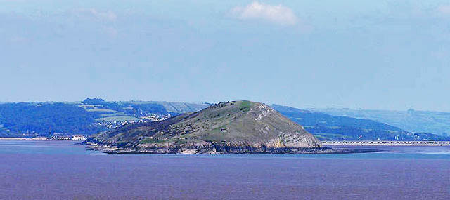
Brean Down
Brean Down is a promontory off the coast of Somerset, England, standing 318 feet (97 m) high and extending 1+1⁄2 miles (2.5 kilometres) into the Bristol...
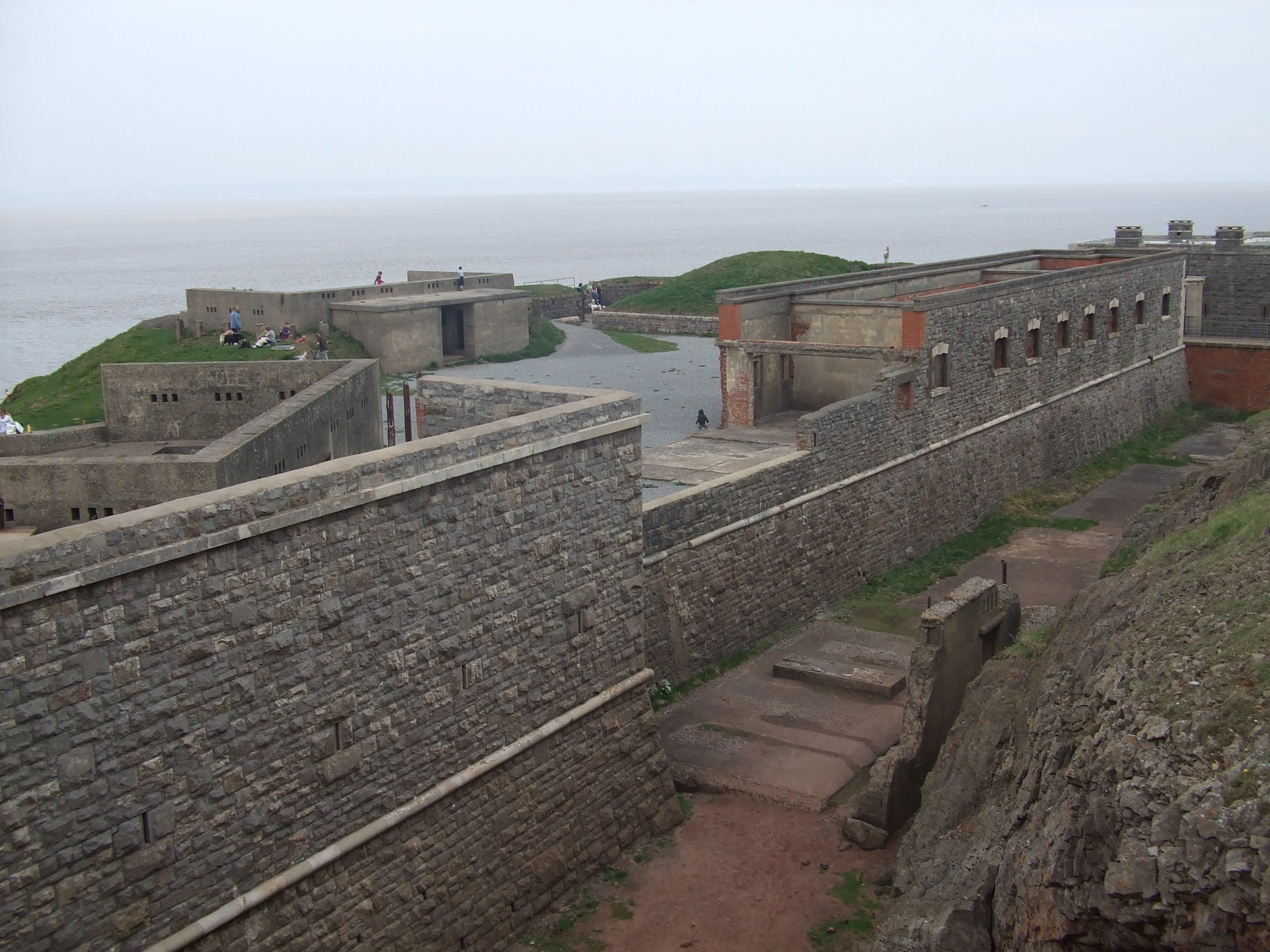
Brean Down Fort
Brean Down Fort was a Victorian naval fortification designed to protect the Bristol Channel. It was built 60 feet (18 m) above sea level on the headland...

Weston Bay
Weston Bay is an inlet of the Bristol Channel in North Somerset, England. It lies between Brean Down, which is now owned by the National Trust, is rich...

River Axe (Bristol Channel)
The River Axe is a river in South West England. The river is formed by water entering swallets in the limestone and rises from the ground at Wookey Hole...
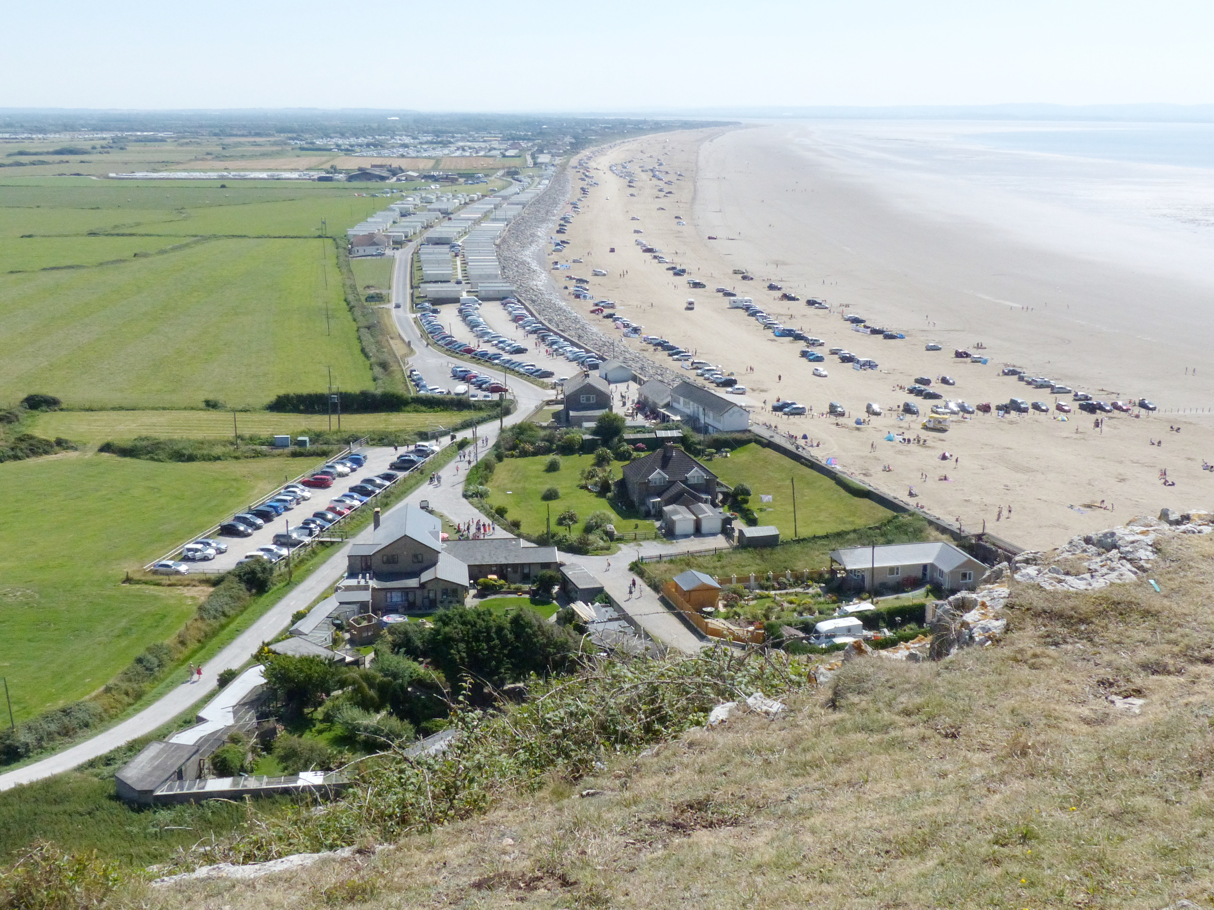
Brean
Brean is a village and civil parish between Weston-super-Mare and Burnham-on-Sea in Somerset, England. The name is derived from "Bryn" Brythonic and Modern...
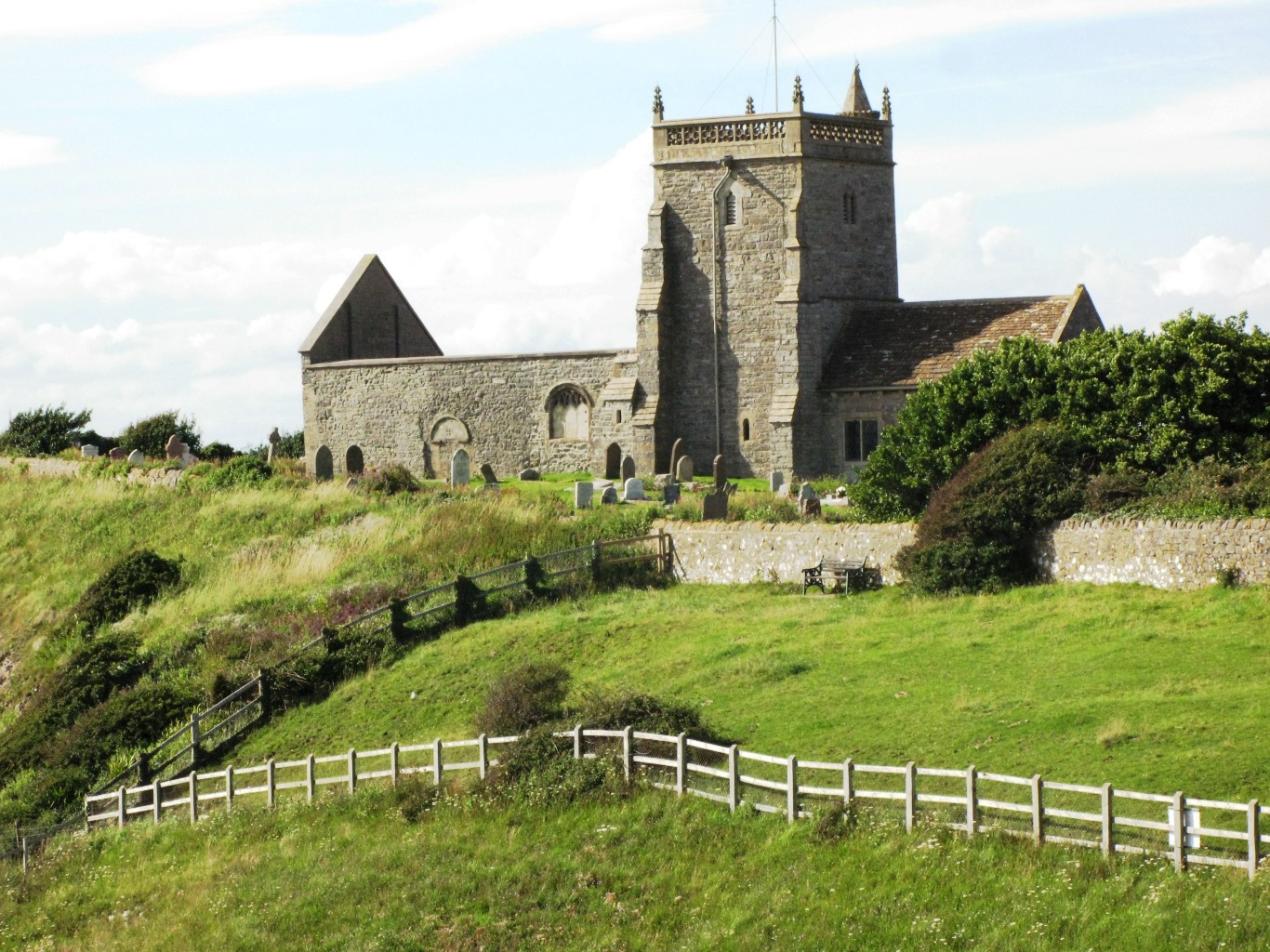
Old Church of St Nicholas, Uphill
The Old Church of St Nicholas at Uphill, Somerset, England, is described as 'Norman' but was remodelled in later Middle Ages. Regular services ceased in...

Uphill Cliff
Uphill Cliff (grid reference ST318583) is a 19.8 hectare biological Site of Special Scientific Interest near the village of Uphill, North Somerset, although...
Uphill
Uphill is a village and former civil parish, now in the parish of Weston-super-Mare, in the North Somerset district, in the ceremonial county of Somerset...
Nearby Amenities
Located within 500m of 51.323351,-3.0252228Have you been to Black Point?
Leave your review of Black Point below (or comments, questions and feedback).