Framingham Pigot

Civil Parish in Norfolk South Norfolk

England

Framingham Pigot

The B1332 passing the Gulf Garage, Poringland
The B1332 passing the Gulf Garage, Poringland Credit: Roy Hughes

Framingham Pigot is a civil parish located in the county of Norfolk, England. It is situated approximately 7 miles south-east of the city of Norwich and covers an area of around 3 square miles. The parish is part of the South Norfolk district and falls within the parliamentary constituency of South Norfolk.

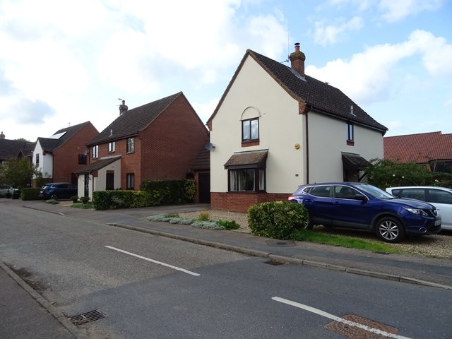
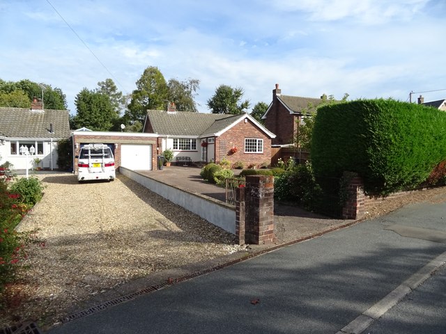
The village of Framingham Pigot is a small and picturesque settlement with a population of around 300 residents. It is surrounded by beautiful countryside and farmland, offering a tranquil and rural setting. The parish is primarily residential, with a mix of traditional and modern houses.

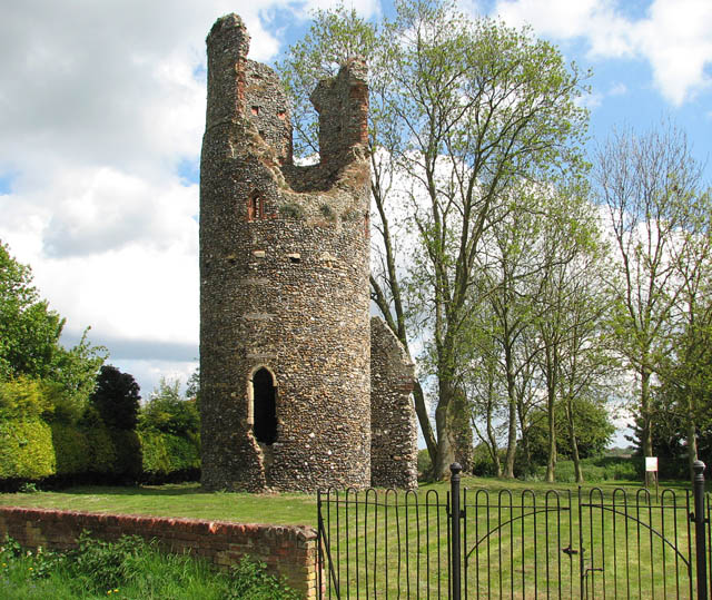
Framingham Pigot is known for its charming 14th-century church, St. Andrew's, which is a Grade I listed building. The church features stunning medieval architecture, including a magnificent tower and a rare octagonal font. It serves as a place of worship for the local community and attracts visitors interested in historical and architectural heritage.

The parish has limited amenities, with a village hall providing a space for community events and gatherings. However, residents have easy access to a wider range of services and facilities in nearby Norwich, including shops, schools, healthcare facilities, and recreational opportunities.

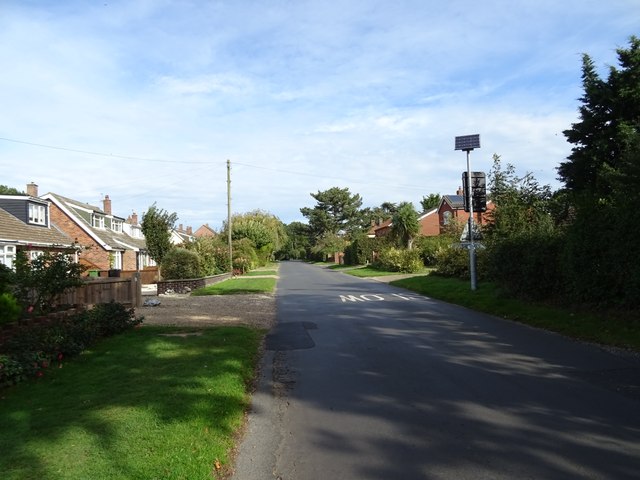
The area surrounding Framingham Pigot offers numerous opportunities for outdoor activities, such as walking, cycling, and exploring the beautiful Norfolk Broads, which are just a short distance away. The village is well-connected to the wider region, with good road links to Norwich and other nearby towns.

If you have any feedback on the listing, please let us know in the comments section below.

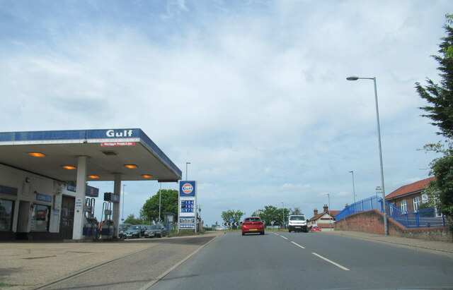
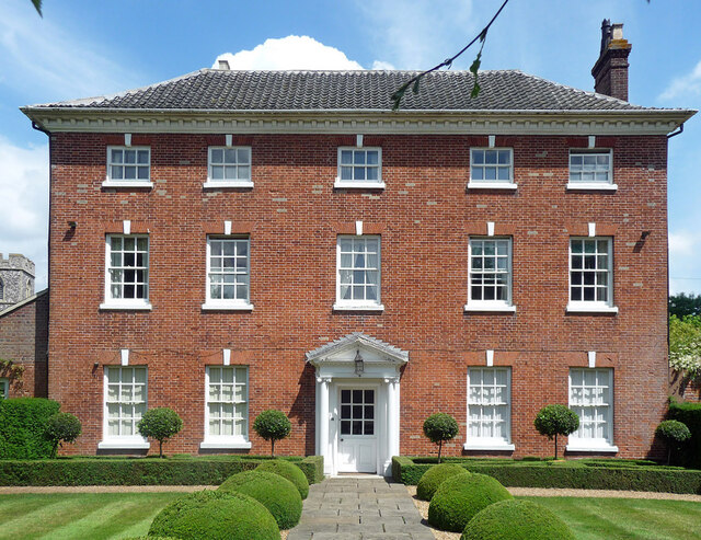
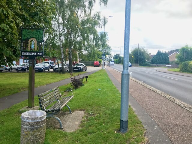
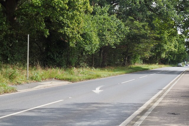
Framingham Pigot Images

Images are sourced within 2km of 52.585549/1.35857 or Grid Reference TG2703. Thanks to Geograph Open Source API. All images are credited.

The B1332 passing the Gulf Garage, Poringland
Old Rectory, Kirby Bedon A handsome early Georgian house in five bays with a pedimented Ionic doorcase. Grade II listed.
The owner kindly gave me permission to photograph.
Old Rectory, Kirby Bedon
A handsome early Georgian house in five bays with a pedimented Ionic doorcase. Grade II listed. The owner kindly gave me permission to photograph.
Village sign for Framingham Earl Beside the B1332 Narwich Road
Village sign for Framingham Earl
Beside the B1332 Narwich Road
It is an ex-bus stop On the B1332, Bungay Road.
It is an ex-bus stop
On the B1332, Bungay Road.
The Railway Tavern Nothing on the current maps give any indication of any former railway in the vicinity.
The Railway Tavern
Nothing on the current maps give any indication of any former railway in the vicinity.
Bungalow on Stoke Road
Junction on Stoke Road
The Old Surgery, Poringland
Roundabout on the B1332, Poringland
The Railway Tavern, Framingham Earl Nowhere near a railway, the pub was named in anticipation of a railway which was never built.
The Railway Tavern, Framingham Earl
Nowhere near a railway, the pub was named in anticipation of a railway which was never built.
Framingham Earl High School
Bus stop and shelter on Norwich Road (B1332)
Houses on The Ramblers
Norwich Road (B1332)
Octagon Barn
Octagon Barn
Bungalow on Rectory Lane, Poringland
Upgate, Poringland
Upgate, Poringland
Maize crop and woodland
Show me another place!

Framingham Pigot is located at Grid Ref: TG2703 (Lat: 52.585549, Lng: 1.35857)

Administrative County: Norfolk

District: South Norfolk

Police Authority: Norfolk

What 3 Words

///aspect.outer.shape. Near Poringland, Norfolk

Related Wikis

Framingham Pigot

Framingham Pigot is a village and civil parish in the English county of Norfolk. The village is located 6.4 miles (10.3 km) north-west of Loddon and 3...

Framingham Earl

Framingham Earl is a small village and civil parish in the English county of Norfolk. The village is located 5.8 miles (9.3 km) north-west of Loddon and...

Framingham Earl High School

Framingham Earl High School is a secondary school located in Framingham Earl in the English county of Norfolk to the south of Norwich. The school enrolls...

Kirby Bedon

Kirby Bedon is a hamlet in South Norfolk which lies approximately 3½ miles (5½ km) south-east of Norwich on the road to Bramerton. It covers an area of...

Nearby Amenities

Located within 500m of 52.585549,1.35857
Power: tower
Ref: PM 58
Lat/Long: 52.589913/1.360341
Material: wood
Power: pole
Lat/Long: 52.58904/1.357769
Material: steel
Power: pole
Lat/Long: 52.589361/1.356246
Power: pole
Lat/Long: 52.588735/1.359199
Material: wood
Power: pole
Lat/Long: 52.588745/1.358582
Material: wood
Power: pole
Lat/Long: 52.589382/1.357128
Power: pole
Lat/Long: 52.5882709/1.3596291
Power: pole
Lat/Long: 52.587852/1.360551
Power: pole
Lat/Long: 52.588401/1.360736
Material: wood
Power: pole
Lat/Long: 52.588101/1.362205
Material: wood
Power: pole
Lat/Long: 52.587785/1.363721
Power: pole
Lat/Long: 52.58744/1.365185
Power: pole
Lat/Long: 52.587125/1.361532
Power: pole
Lat/Long: 52.586384/1.362509
Power: pole
Lat/Long: 52.582146/1.363166
Power: pole
Lat/Long: 52.581907/1.361983
Power: pole
Lat/Long: 52.585222/1.365237
Power: pole
Lat/Long: 52.585883/1.363181
Power: pole
Lat/Long: 52.581861/1.360382
Power: pole
Lat/Long: 52.58184/1.358826
Bench
Backrest: yes
Seats: 3
Lat/Long: 52.5826667/1.3615333
Bench
Backrest: yes
Material: wood
Seats: 3
Lat/Long: 52.5823958/1.360715
Entrance: yes
Lat/Long: 52.582436/1.3607469
Entrance: yes
Lat/Long: 52.5824271/1.3611127
Entrance: main
Lat/Long: 52.582369/1.3608462
Give Way
Lat/Long: 52.5857402/1.3651721
Give Way
Lat/Long: 52.5857156/1.3652814
Give Way
Lat/Long: 52.5831163/1.362467
Framingham Pigot
Place: hamlet
Lat/Long: 52.5832701/1.3530809
The data included in this document is from www.openstreetmap.org. The data is made available under ODbL.

Have you been to Framingham Pigot?

Leave your review of Framingham Pigot below (or comments, questions and feedback).