Church Plantation
Wood, Forest in Norfolk South Norfolk
England
Church Plantation
Church Plantation is a residential neighborhood located in Norfolk, Virginia. Situated in the Wood, Forest area, it is known for its lush greenery and tranquil surroundings. The neighborhood is primarily made up of single-family homes and offers a suburban atmosphere for its residents.
Church Plantation is characterized by its spacious lots and well-maintained properties, which contribute to its overall aesthetic appeal. Tall trees and beautiful landscaping are a common sight throughout the neighborhood, providing a serene environment for its residents. The area is also known for its well-paved streets and sidewalks, making it ideal for outdoor activities such as walking, jogging, or biking.
The neighborhood is conveniently located near several amenities and attractions. Residents can easily access shopping centers, restaurants, and entertainment options within a short driving distance. Additionally, Church Plantation is in close proximity to schools, making it an attractive choice for families with children.
Furthermore, the neighborhood benefits from its proximity to natural areas and parks. Residents can enjoy the nearby Wood, Forest Park, which offers opportunities for recreation and leisure activities such as picnicking, hiking, and bird-watching. The park's scenic trails and beautiful landscapes provide a serene escape from the hustle and bustle of city life.
Overall, Church Plantation in Norfolk, Virginia, offers a picturesque, family-friendly neighborhood with its well-maintained properties, green surroundings, and convenient location.
If you have any feedback on the listing, please let us know in the comments section below.
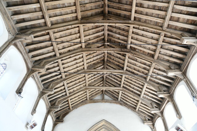
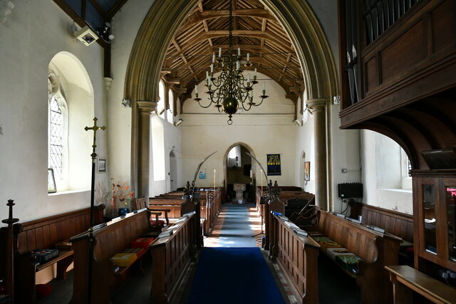
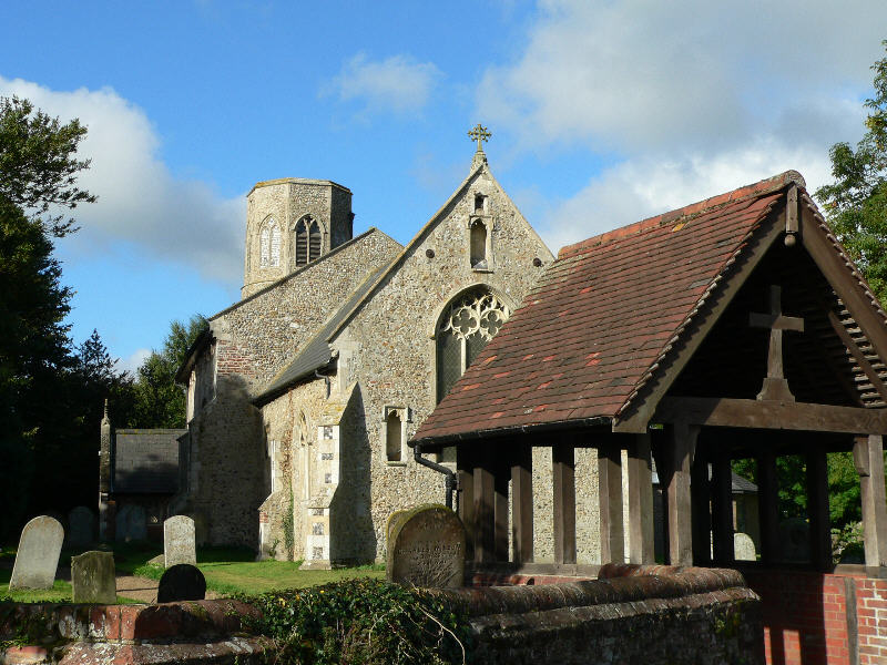
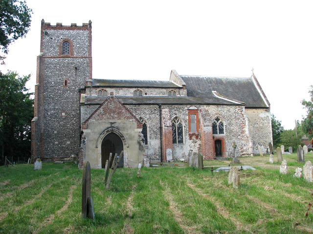
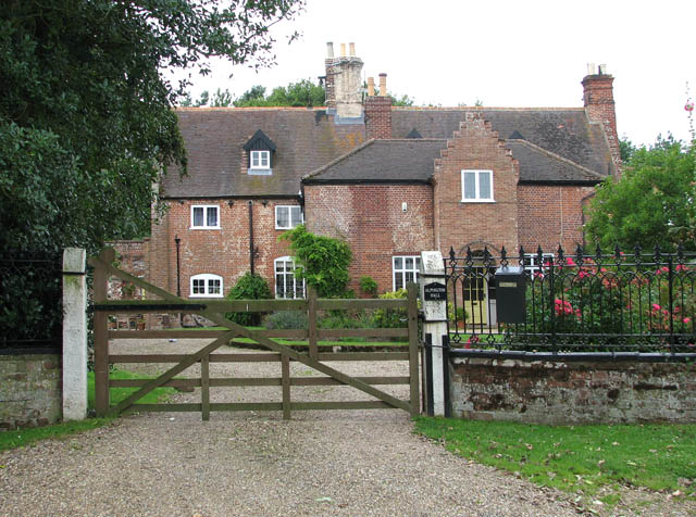
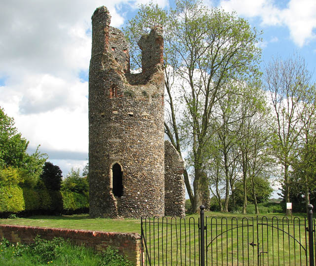
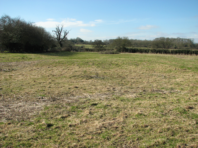
Church Plantation Images
Images are sourced within 2km of 52.580657/1.3609862 or Grid Reference TG2703. Thanks to Geograph Open Source API. All images are credited.


Church Plantation is located at Grid Ref: TG2703 (Lat: 52.580657, Lng: 1.3609862)
Administrative County: Norfolk
District: South Norfolk
Police Authority: Norfolk
What 3 Words
///thrashing.podcast.history. Near Poringland, Norfolk
Nearby Locations
Related Wikis

Framingham Pigot
Framingham Pigot is a village and civil parish in the English county of Norfolk. The village is located 6.4 miles (10.3 km) north-west of Loddon and 3...

Framingham Earl
Framingham Earl is a small village and civil parish in the English county of Norfolk. The village is located 5.8 miles (9.3 km) north-west of Loddon and...

Framingham Earl High School
Framingham Earl High School is a secondary school located in Framingham Earl in the English county of Norfolk to the south of Norwich. The school enrolls...
Poringland
Poringland is a village in the district of South Norfolk, England. It lies 5 miles (8.0 km) south of Norwich city centre and 10 miles (16 km) north of...
Yelverton, Norfolk
Yelverton is a village and civil parish in the English county of Norfolk, situated some 5 miles (8.0 km) south east of Norwich and closely associated with...
Alpington
Alpington is a village and civil parish in the English county of Norfolk. It is situated about six miles (10 km) south-east of Norwich and is closely associated...
Kirby Bedon
Kirby Bedon is a hamlet in South Norfolk which lies approximately 3½ miles (5½ km) south-east of Norwich on the road to Bramerton. It covers an area of...
Bixley medieval settlement
Bixley medieval settlement is a deserted medieval village in Norfolk, England, about 2 miles (3.2 km) south-east of Norwich. It is a Scheduled Monument...
Nearby Amenities
Located within 500m of 52.580657,1.3609862Have you been to Church Plantation?
Leave your review of Church Plantation below (or comments, questions and feedback).