Ashing Grove
Wood, Forest in Suffolk East Suffolk
England
Ashing Grove
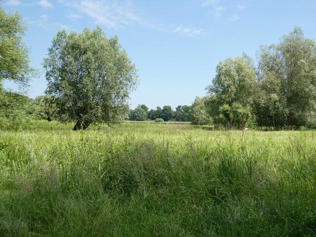
Ashing Grove is a picturesque woodland area located in the county of Suffolk, England. Situated near the village of Ashing, it covers an expansive area of approximately 500 acres, making it one of the largest forests in the region. The grove is characterized by its dense and diverse vegetation, comprising mainly of deciduous trees such as oak, beech, and birch.
The forest is a haven for wildlife, boasting a rich and varied ecosystem. It is home to a plethora of bird species, including woodpeckers, nightingales, and owls, making it a popular destination for birdwatching enthusiasts. Other animals that can be spotted within the grove include deer, foxes, and rabbits.
Ashing Grove offers a range of recreational activities for visitors to enjoy. It is crisscrossed by a network of well-maintained walking trails, providing opportunities for leisurely strolls and vigorous hikes alike. The forest also features several designated picnic areas, where visitors can relax and enjoy the tranquility of their surroundings.
In addition to its natural beauty, Ashing Grove holds historical significance. The remains of an ancient Roman villa can be found within its boundaries, offering glimpses into the area's past. These archaeological remains serve as a reminder of the grove's long-standing connection to human settlement and activity.
Overall, Ashing Grove in Suffolk is a captivating woodland destination that combines natural beauty, wildlife diversity, and historical intrigue. With its stunning landscapes and plethora of recreational opportunities, it is a beloved spot for nature enthusiasts and history buffs alike.
If you have any feedback on the listing, please let us know in the comments section below.
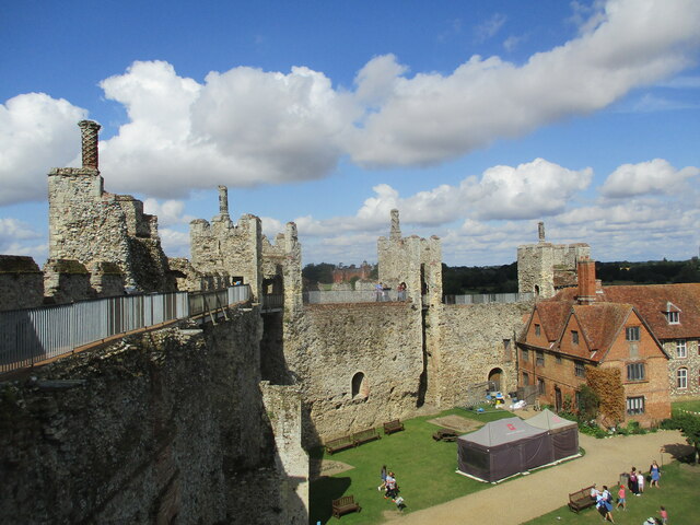
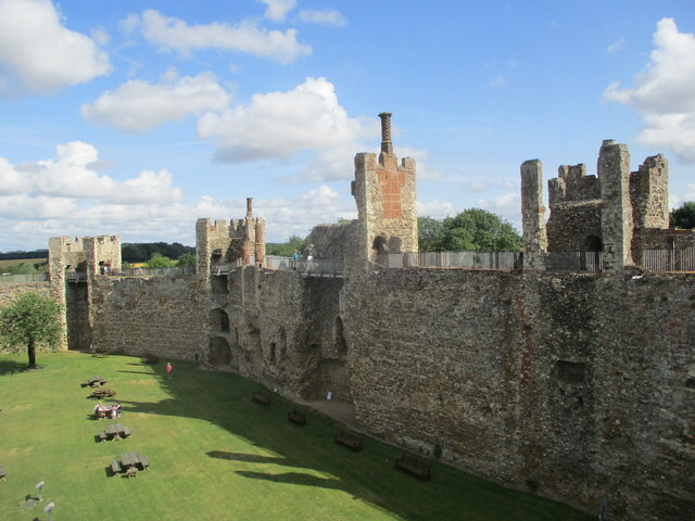
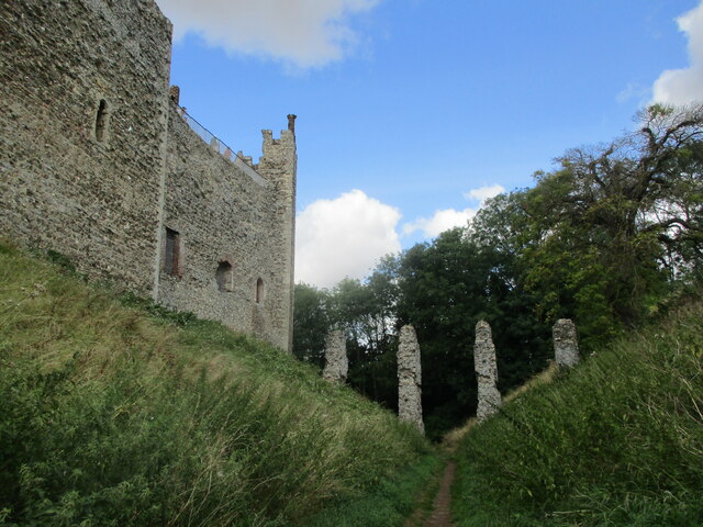
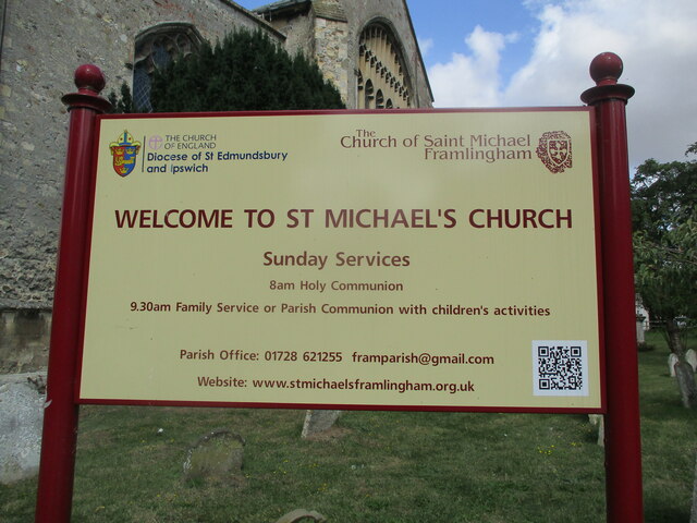
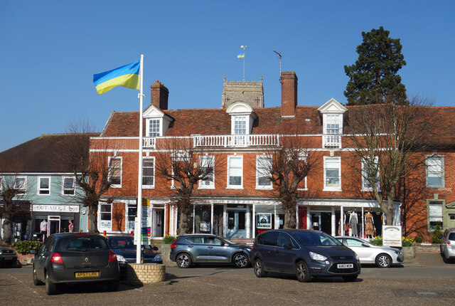
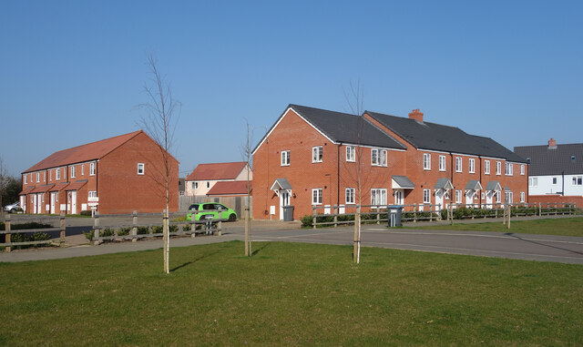
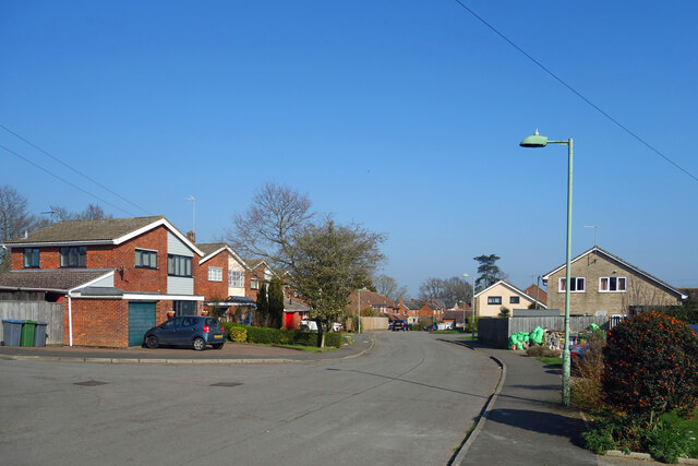
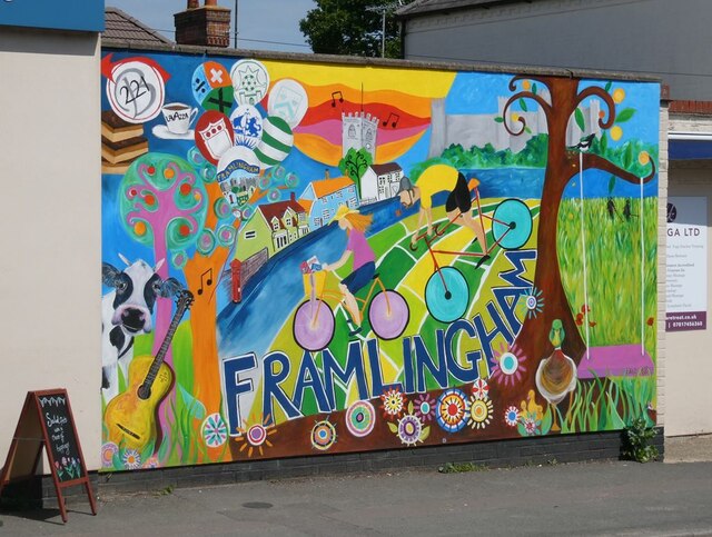
Ashing Grove Images
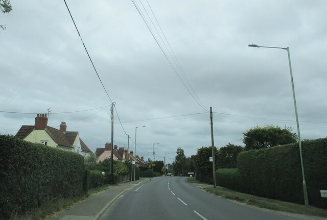
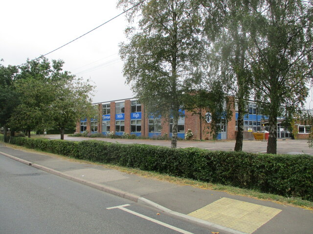
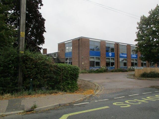
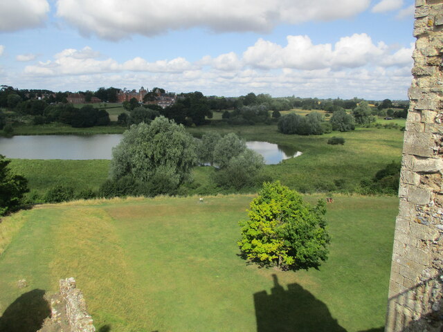
Images are sourced within 2km of 52.212934/1.3335016 or Grid Reference TM2762. Thanks to Geograph Open Source API. All images are credited.

Ashing Grove is located at Grid Ref: TM2762 (Lat: 52.212934, Lng: 1.3335016)
Administrative County: Suffolk
District: East Suffolk
Police Authority: Suffolk
What 3 Words
///blogging.swerves.backed. Near Framlingham, Suffolk
Nearby Locations
Related Wikis
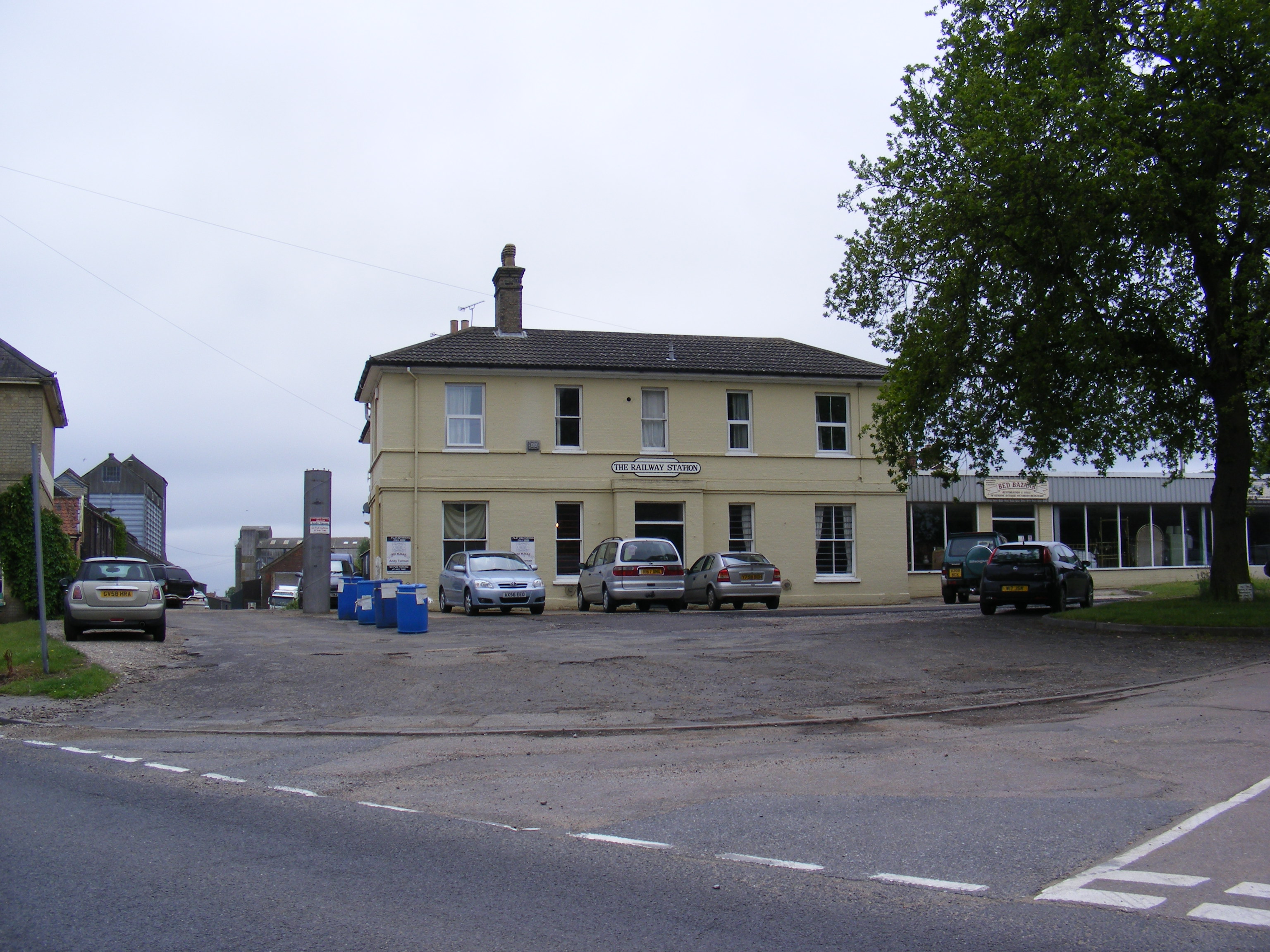
Framlingham railway station
Framlingham railway station was located in Framlingham, Suffolk, UK and was the terminus station on the Framlingham Branch. It opened on 1 June 1859 and...

Loes Hundred
Loes was a hundred of Suffolk, with an area of 31,321 acres (126.75 km2).Loes Hundred was long and thin in shape, around 15 miles (24 km) long and between...

Apsey Green
Apsey Green is a hamlet in Suffolk, England. == External links == Media related to Apsey Green at Wikimedia Commons

Sir Robert Hitcham's Almshouses
Sir Robert Hitcham's Almshouses are grade II* listed almshouses in New Road, Framlingham, Suffolk, England. They were built in 1654 under the will of Sir...
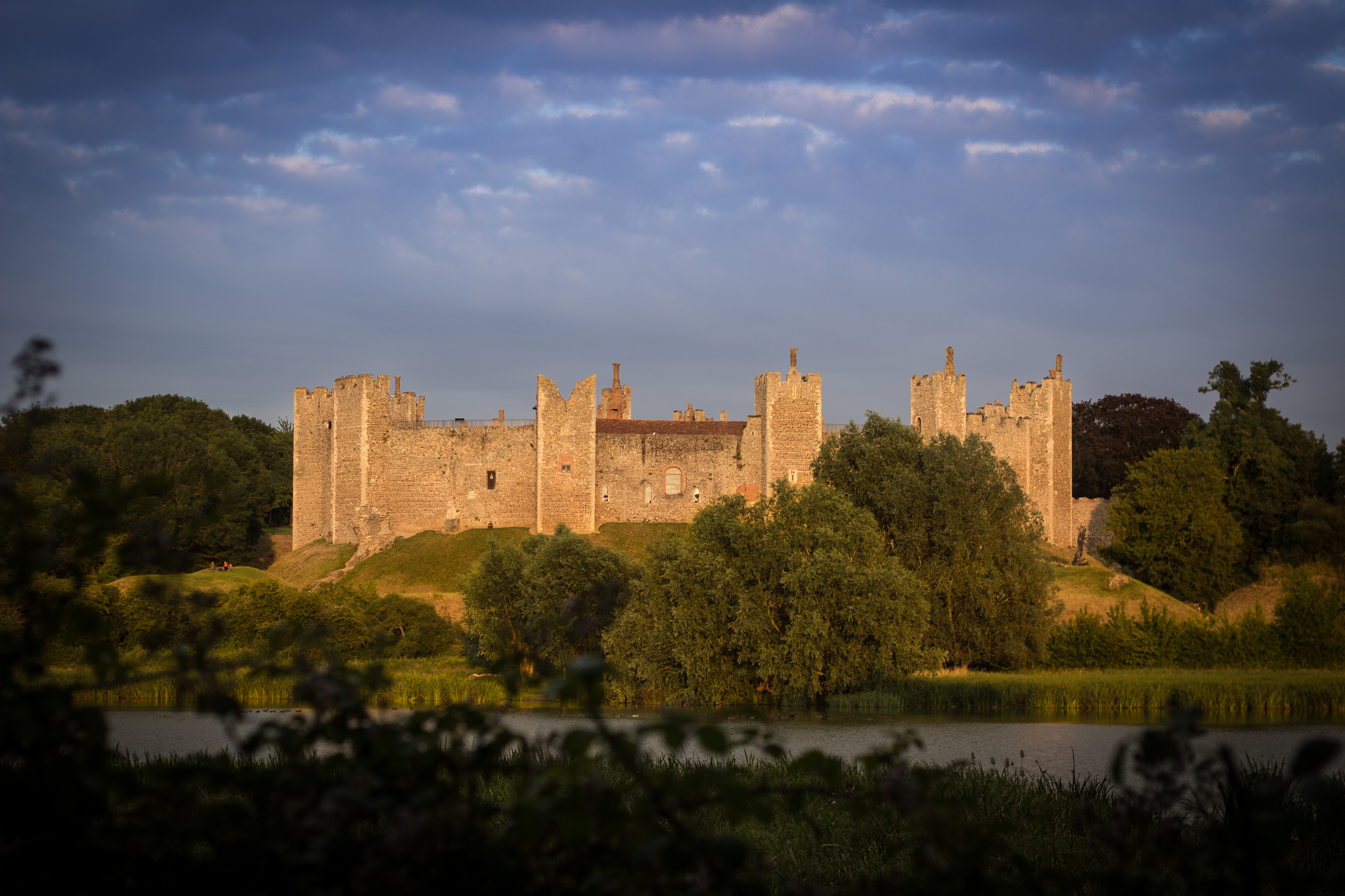
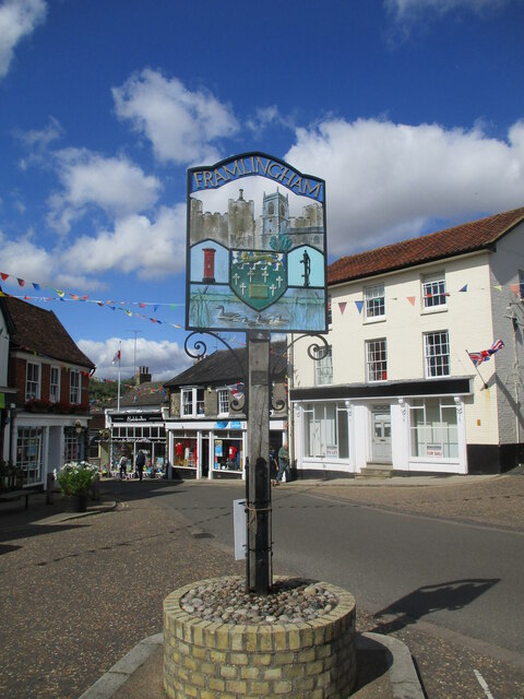
Framlingham
Framlingham is a market town and civil parish in Suffolk, England. Of Anglo-Saxon origin, it appears in the 1086 Domesday Book. The parish had a population...

Framlingham Mere
Framlingham Mere is a 13.8-hectare nature reserve in Framlingham in Suffolk. It is managed by the Suffolk Wildlife Trust.This site has a lake and wet meadows...
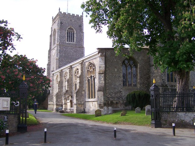
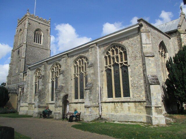
St Michael the Archangel's Church, Framlingham
St Michael's Church in Framlingham, Suffolk is a Church of England church dedicated to Saint Michael. It was the burial site of the Howard family. The...

Regency House
Regency House is a grade II* listed house at 7 Church Street in Framlingham, Suffolk, England. The house is timber-framed, of three storeys, and dates...
Nearby Amenities
Located within 500m of 52.212934,1.3335016Have you been to Ashing Grove?
Leave your review of Ashing Grove below (or comments, questions and feedback).