Folksworth and Washingley
Civil Parish in Huntingdonshire Huntingdonshire
England
Folksworth and Washingley

Folksworth and Washingley is a civil parish located in the district of Huntingdonshire, in the county of Cambridgeshire, England. It is situated approximately 8 miles west of the city of Peterborough and 4 miles east of the town of Yaxley. The parish covers an area of about 5 square miles.
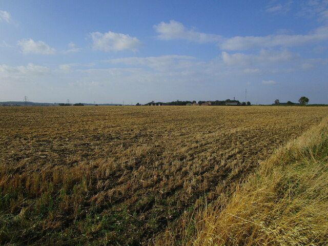
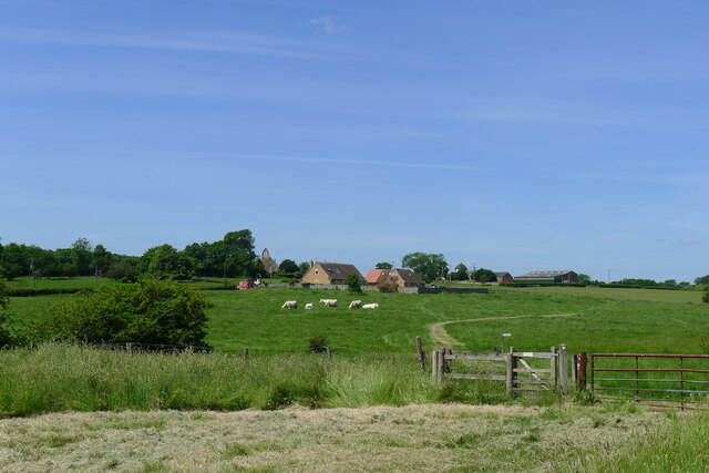
The two villages, Folksworth and Washingley, are small and rural with a combined population of around 800 residents. They are predominantly residential areas, with a mix of houses and cottages, surrounded by picturesque countryside. The landscape is characterized by vast expanses of farmland, green meadows, and small woodland areas.
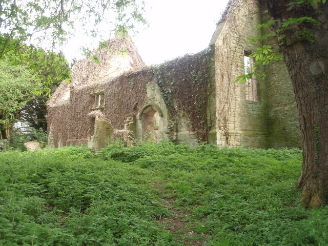
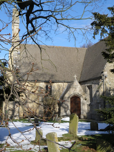
Folksworth and Washingley have a long history, with evidence of human habitation dating back to the prehistoric period. The villages were mentioned in the Domesday Book of 1086, and several ancient buildings and structures still stand today, including St Helen's Church, which dates back to the 12th century.
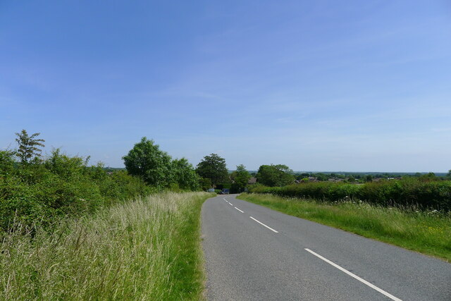
The parish is well-connected by road, with the A1(M) motorway running nearby, providing easy access to other towns and cities in the region. Despite its rural setting, the area benefits from good transport links and is within commuting distance of Peterborough and other nearby employment centers.
Folksworth and Washingley offer a peaceful and tranquil environment, making them popular with those seeking a quieter way of life. The villages have a close-knit community, with a local pub, a primary school, and a village hall serving as social hubs. The surrounding countryside provides ample opportunities for outdoor activities such as walking, cycling, and horse riding.
If you have any feedback on the listing, please let us know in the comments section below.
Folksworth and Washingley Images
Images are sourced within 2km of 52.493455/-0.327455 or Grid Reference TL1389. Thanks to Geograph Open Source API. All images are credited.


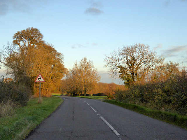


![Entering Caldecote Caldecote: &quot;a place name found in various counties, meaning ‘cold cottage(s)’, with reference to poor construction, exposed situation, or clay soil ...&quot; [A Dictionary of British Place Names]. I don&#039;t know why clay soil would make somewhere cold, but this area&#039;s geology is dominated by the Oxford Clay mudstones.](https://s1.geograph.org.uk/geophotos/06/87/80/6878013_92fc889a.jpg)
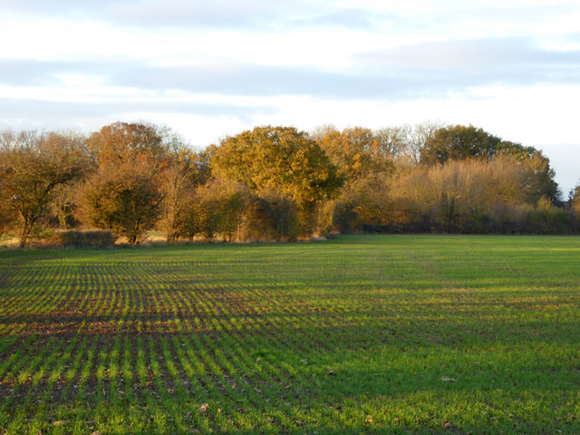
![Partially mown verge, Caldecote Road It is estimated that roadside verges account for about 1,000 square miles of land in the UK, and that less frequent mowing would bring a range of environmental benefits [The Guardian, 26 May 2021]. The section on the left has been mown to improve visibility from the junction of Washingley Road just behind the camera.](https://s3.geograph.org.uk/geophotos/06/87/80/6878023_684eb6db.jpg)


Folksworth and Washingley is located at Grid Ref: TL1389 (Lat: 52.493455, Lng: -0.327455)
Administrative County: Cambridgeshire
District: Huntingdonshire
Police Authority: Cambridgeshire
What 3 Words
///degree.behalf.lately. Near Stilton, Cambridgeshire
Nearby Locations
Related Wikis

Folksworth and Washingley
Folksworth and Washingley is a civil parish near Peterborough in Cambridgeshire, England, comprising the villages of Folksworth and Washingley.The parish...

Washingley
Washingley is a hamlet and former civil parish, now in the parish of Folksworth and Washingley, in Cambridgeshire, England. Washingley lies approximately...
Morborne
Morborne is a village and civil parish in Cambridgeshire, England. Morborne lies approximately 5 miles (8 km) south-west of Peterborough, near Yaxley....

Caldecote, Huntingdonshire
Caldecote is a village and former civil parish, now in the parish of Denton and Caldecote, in Cambridgeshire, England. Caldecote lies approximately 7 miles...

Peterborough transmitting station
The Peterborough transmitting station is a broadcasting and telecommunications facility at Morborne Hill, near Peterborough, England (grid reference TL127913...
Denton and Caldecote
Denton and Caldecote – in Huntingdonshire (now part of Cambridgeshire), England – is a civil parish near Glatton south west of Yaxley. The parish was formed...
Denton, Cambridgeshire
Denton is a hamlet and former civil parish, now in the parish of Denton and Caldecote, in Cambridgeshire, England. Denton lies approximately 11 miles...
Folksworth
Folksworth is a village and former civil parish, now in the parish of Folksworth and Washingley, in Cambridgeshire, England. Folksworth lies approximately...
Related Videos

MORBORNE: Huntingdonshire Parish #3 of 81
HUNTINGDONSHIRE PARISH #3: MORBORNE Welcome to Morborne, and if you thought Folksworth was a small village last ...

HADDON: Huntingdonshire Parish #4 of 81
HUNTINGDONSHIRE PARISH #4: HADDON Ok so last week we explored Morborne, a tiny village which sits just to the South of ...
FOLKSWORTH AND WASHINGLEY: Huntingdonshire Parish #2 of 81
HUNTINGDONSHIRE PARISH #2: FOLKSWORTH AND WASHINGLEY Welcome to Folksworth and Washingley – a parish which ...
Driving On The A605 From Thrapston, Kettering To Haddon, Peterborough, England
Driving at night along the A605 from Thrapston, Kettering NN14, Northamptonshire to junction 17 A1M motorway, Haddon, ...
Have you been to Folksworth and Washingley?
Leave your review of Folksworth and Washingley below (or comments, questions and feedback).