Old Yard Copse
Wood, Forest in Huntingdonshire Huntingdonshire
England
Old Yard Copse

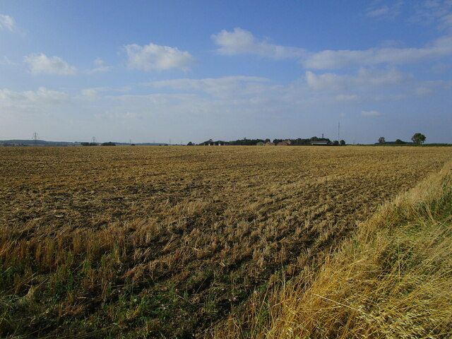
Old Yard Copse is a picturesque woodland located in Huntingdonshire, a historic county in the east of England. Covering an area of approximately 50 acres, this enchanting forest is a haven for nature enthusiasts and offers a tranquil escape from the bustling city life.
The copse is predominantly composed of oak and beech trees, which create a dense canopy, providing shade and shelter for a wide variety of flora and fauna. The forest floor is covered in a thick layer of fallen leaves and moss, creating a beautiful carpet of green and brown.
The woodland is crisscrossed by a network of well-maintained footpaths, making it easily accessible for visitors. These paths wind their way through the copse, offering glimpses of sunlight filtering through the trees and creating a magical atmosphere. The sounds of birdsong and rustling leaves provide a symphony of nature.
Old Yard Copse is home to a diverse range of wildlife, including deer, foxes, rabbits, and an array of bird species. Birdwatchers will delight in the chance to spot woodpeckers, owls, and various songbirds.
Visitors to the copse can also enjoy a picnic in one of the designated areas, surrounded by the natural beauty of the forest. The peaceful ambiance and stunning surroundings make Old Yard Copse a popular destination for families, hikers, and nature lovers alike.
In conclusion, Old Yard Copse in Huntingdonshire is a captivating woodland, offering a tranquil retreat and a chance to immerse oneself in the beauty of nature. Whether exploring the forest trails or simply enjoying a peaceful picnic, visitors are sure to be enchanted by this idyllic setting.
If you have any feedback on the listing, please let us know in the comments section below.
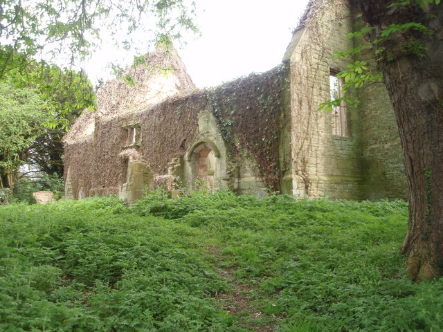
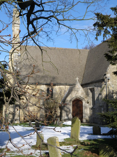
Old Yard Copse Images
Images are sourced within 2km of 52.489428/-0.32777826 or Grid Reference TL1389. Thanks to Geograph Open Source API. All images are credited.


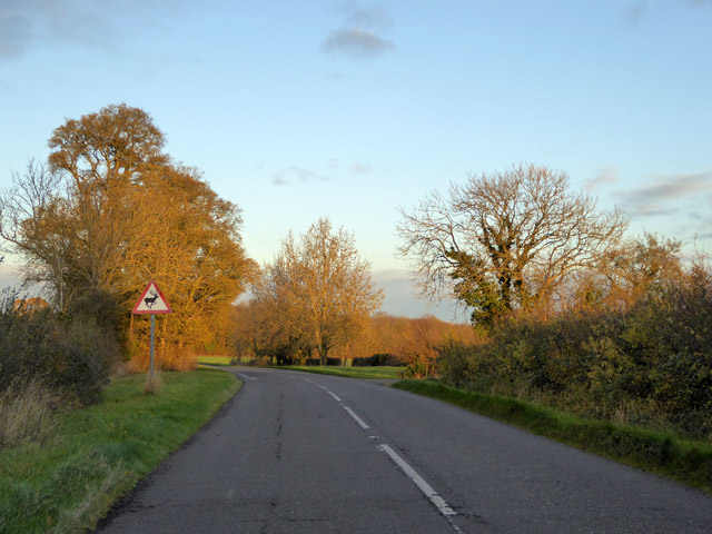


![Entering Caldecote Caldecote: &quot;a place name found in various counties, meaning ‘cold cottage(s)’, with reference to poor construction, exposed situation, or clay soil ...&quot; [A Dictionary of British Place Names]. I don&#039;t know why clay soil would make somewhere cold, but this area&#039;s geology is dominated by the Oxford Clay mudstones.](https://s1.geograph.org.uk/geophotos/06/87/80/6878013_92fc889a.jpg)
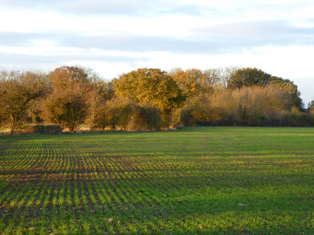
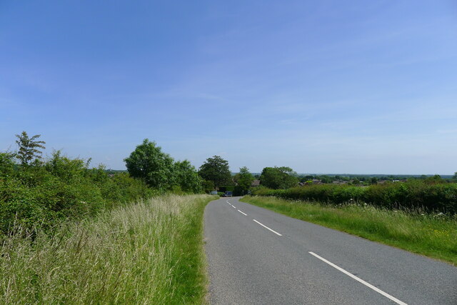
![Partially mown verge, Caldecote Road It is estimated that roadside verges account for about 1,000 square miles of land in the UK, and that less frequent mowing would bring a range of environmental benefits [The Guardian, 26 May 2021]. The section on the left has been mown to improve visibility from the junction of Washingley Road just behind the camera.](https://s3.geograph.org.uk/geophotos/06/87/80/6878023_684eb6db.jpg)


Old Yard Copse is located at Grid Ref: TL1389 (Lat: 52.489428, Lng: -0.32777826)
Administrative County: Cambridgeshire
District: Huntingdonshire
Police Authority: Cambridgeshire
What 3 Words
///obstruction.rated.published. Near Stilton, Cambridgeshire
Nearby Locations
Related Wikis

Washingley
Washingley is a hamlet and former civil parish, now in the parish of Folksworth and Washingley, in Cambridgeshire, England. Washingley lies approximately...

Folksworth and Washingley
Folksworth and Washingley is a civil parish near Peterborough in Cambridgeshire, England, comprising the villages of Folksworth and Washingley.The parish...

Caldecote, Huntingdonshire
Caldecote is a village and former civil parish, now in the parish of Denton and Caldecote, in Cambridgeshire, England. Caldecote lies approximately 7 miles...
Morborne
Morborne is a village and civil parish in Cambridgeshire, England. Morborne lies approximately 5 miles (8 km) south-west of Peterborough, near Yaxley....
Denton and Caldecote
Denton and Caldecote – in Huntingdonshire (now part of Cambridgeshire), England – is a civil parish near Glatton south west of Yaxley. The parish was formed...
Denton, Cambridgeshire
Denton is a hamlet and former civil parish, now in the parish of Denton and Caldecote, in Cambridgeshire, England. Denton lies approximately 11 miles...
Folksworth
Folksworth is a village and former civil parish, now in the parish of Folksworth and Washingley, in Cambridgeshire, England. Folksworth lies approximately...

Peterborough transmitting station
The Peterborough transmitting station is a broadcasting and telecommunications facility at Morborne Hill, near Peterborough, England (grid reference TL127913...
Nearby Amenities
Located within 500m of 52.489428,-0.32777826Have you been to Old Yard Copse?
Leave your review of Old Yard Copse below (or comments, questions and feedback).