Weirmead Shaw

Wood, Forest in Sussex Horsham

England

Weirmead Shaw

Bridleway past Pear Tree Farm The bridleway is up to 15 metres wide between long-established hedge banks and ditches, and must be ancient in origin, probably an old cart road. Pear Tree Farm, on the south side of the track, is quite recent, but Maltmayes, at the eastern end, is C14 in origin, and the track surely is much older still. Fortunately, this western end is no longer used by vehicles, perhaps because the junction with the Bognor Road (A29) is less than satisfactory (and distinctly hazardous if approaching from the opposite direction).
Bridleway past Pear Tree Farm Credit: Hugh Craddock

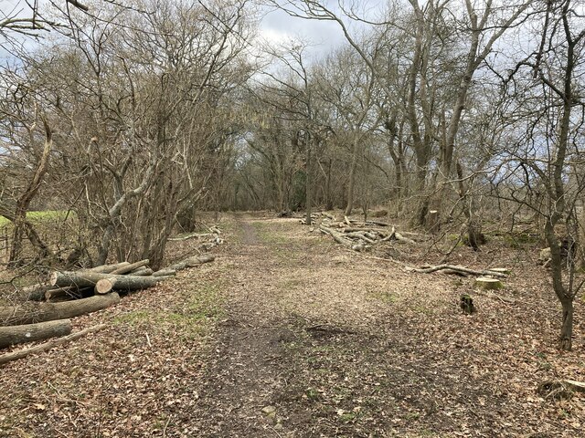
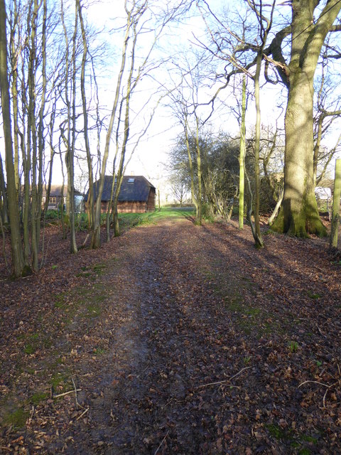
Weirmead Shaw is a picturesque woodland located in Sussex, England. Covering an area of approximately 100 acres, it is a haven for nature enthusiasts and offers a serene retreat for visitors seeking tranquility amidst the beauty of nature.

The woodland is predominantly made up of a mix of native tree species, including oak, beech, and birch, which create a diverse and vibrant landscape. The dense canopy of the trees provides an ideal habitat for a variety of wildlife, including birds, mammals, and insects. The woodland floor is adorned with an array of wildflowers, adding bursts of color throughout the seasons.

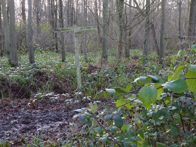
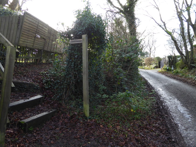
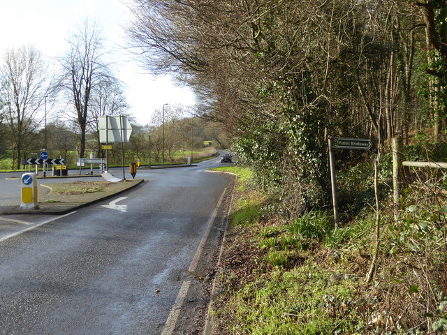
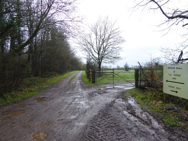
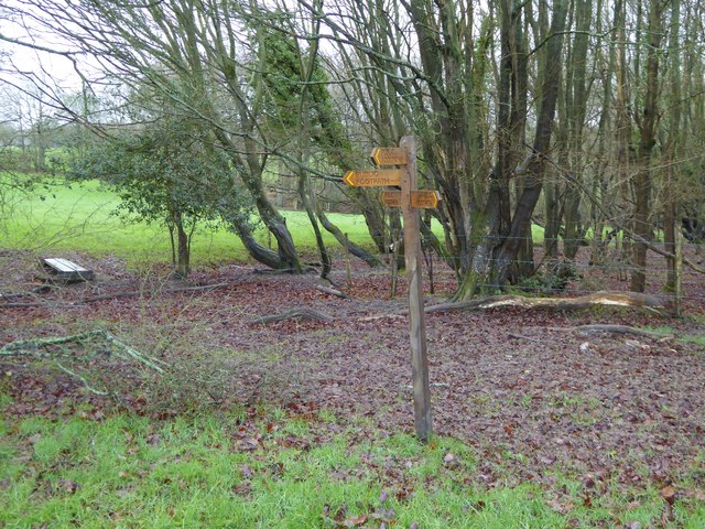
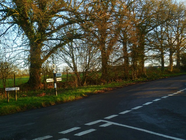
Trails wind their way through Weirmead Shaw, allowing visitors to explore the woodland at their own pace. These paths provide access to the heart of the forest, where visitors can discover hidden glades, babbling brooks, and peaceful ponds. The tranquil atmosphere is perfect for nature walks, birdwatching, and photography.

Weirmead Shaw is also a popular spot for outdoor activities such as hiking, cycling, and picnicking. The well-maintained trails offer a range of difficulty levels, catering to both casual walkers and more adventurous explorers. As visitors immerse themselves in the natural surroundings, they can breathe in the fresh air and soak in the beauty of the woodland.

Overall, Weirmead Shaw is a stunning woodland that showcases the natural splendor of Sussex. With its diverse flora and fauna, peaceful ambiance, and recreational opportunities, it is a destination that appeals to nature lovers, families, and outdoor enthusiasts alike.

If you have any feedback on the listing, please let us know in the comments section below.

Weirmead Shaw Images

Images are sourced within 2km of 51.08989/-0.37880873 or Grid Reference TQ1333. Thanks to Geograph Open Source API. All images are credited.

Bridleway past Pear Tree Farm The bridleway is up to 15 metres wide between long-established hedge banks and ditches, and must be ancient in origin, probably an old cart road. Pear Tree Farm, on the south side of the track, is quite recent, but Maltmayes, at the eastern end, is C14 in origin, and the track surely is much older still. Fortunately, this western end is no longer used by vehicles, perhaps because the junction with the Bognor Road (A29) is less than satisfactory (and distinctly hazardous if approaching from the opposite direction).
Bridleway past Pear Tree Farm
The bridleway is up to 15 metres wide between long-established hedge banks and ditches, and must be ancient in origin, probably an old cart road. Pear Tree Farm, on the south side of the track, is quite recent, but Maltmayes, at the eastern end, is C14 in origin, and the track surely is much older still. Fortunately, this western end is no longer used by vehicles, perhaps because the junction with the Bognor Road (A29) is less than satisfactory (and distinctly hazardous if approaching from the opposite direction).
Timber-framed outbuilding at Bailing Hill Farm - with antler trophies Bailing Hill (on the Warnham Park estate) is currently run as a deer farm - hence the antler trophies.  Apart from the smallish trophies fixed to the first-floor frame, notice the huge pair of antlers on the ground at the far end of the building.   <span class="nowrap"><a title="http://www.warnhampark.com/" rel="nofollow ugc noopener" href="http://www.warnhampark.com/">Link</a><img style="margin-left:2px;" alt="External link" title="External link - shift click to open in new window" src="https://s1.geograph.org.uk/img/external.png" width="10" height="10"/></span>
Timber-framed outbuilding at Bailing Hill Farm - with antler trophies
Bailing Hill (on the Warnham Park estate) is currently run as a deer farm - hence the antler trophies. Apart from the smallish trophies fixed to the first-floor frame, notice the huge pair of antlers on the ground at the far end of the building. LinkExternal link
Footpath arrives at bridleway in woodland
Dwelling seen across field from footpath
Bridleway passes dwelling on way to Waterlands Lane
House by woodland off Waterlands Lane
Sign at "The Chequers" PH
Extension to "The Chequers" PH At least that's my assumption.
Extension to "The Chequers" PH
At least that's my assumption.
Both parts on "The Chequers" PH See <a title="https://www.geograph.org.uk/photo/1494115" href="https://www.geograph.org.uk/photo/1494115">Link</a> for a view from 2009.
Both parts on "The Chequers" PH
See Link for a view from 2009.
House at Junction in Rowhook
Footpath junction on Waterlands Lane Waterlands Lane is itself a bridleway.
Footpath junction on Waterlands Lane
Waterlands Lane is itself a bridleway.
Bridleway leaves woodland on way north towards Rowhook
Bridleway leaves A29 just east of roundabout with A281
Road to "Charmans" goes east from Horsham Road See <a title="https://www.geograph.org.uk/photo/119408" href="https://www.geograph.org.uk/photo/119408">Link</a> from 2006.
Road to "Charmans" goes east from Horsham Road
See Link from 2006.
Muddy footpath to Millfield House They're all muddy these days.
Muddy footpath to Millfield House
They're all muddy these days.
Four way signpost near Millfield House
Road junction at Pound Corner For another view see <a title="https://www.geograph.org.uk/photo/1852989" href="https://www.geograph.org.uk/photo/1852989">Link</a>.
Road junction at Pound Corner
For another view see Link.
Dwellings on Northlands Road
Show me another place!

Weirmead Shaw is located at Grid Ref: TQ1333 (Lat: 51.08989, Lng: -0.37880873)

Administrative County: West Sussex

District: Horsham

Police Authority: Sussex

What 3 Words

///playroom.counts.flux. Near Warnham, West Sussex

Nearby Locations

Weirmead Shaw Stony Copse

Related Wikis

Field Place, Warnham

Field Place is a Grade I listed house in Warnham, West Sussex, England. It is the birthplace of the poet Percy Bysshe Shelley, born there in 1792. The...

Slinfold Stream and Quarry

Slinfold Stream and Quarry is a 2.3-hectare (5.7-acre) geological Site of Special Scientific Interest west of Horsham in West Sussex. It is a Geological...

Warnham

Warnham is a village and civil parish in the Horsham district of West Sussex, England. The village is centred 2 miles (3.2 km) north-northwest of Horsham...

Warnham & Rusper (electoral division)

Warnham & Rusper is an electoral division of West Sussex in the United Kingdom and returns one member to sit on West Sussex County Council. The current...

Broadbridge Heath

Broadbridge Heath is a village and civil parish in the Horsham district of West Sussex, England. It is about two miles (3 km) west from the historic centre...

Stane Street (Chichester)

Stane Street is the modern name of the 91 km-long (57 mi) Roman road in southern England that linked Londinium (London) to Noviomagus Reginorum (Chichester...

E. Tredcroft's Ground

E. Tredcroft's Ground was a cricket ground at the Warnham Court estate, located at Horsham, Sussex. The first recorded match on the ground was in 1851...

Slinfold

Slinfold is a village and civil parish in the Horsham District of West Sussex, England. == Geography == The village is almost 4 miles (6.4 km) west of...

Nearby Amenities

Located within 500m of 51.08989,-0.37880873
Power's Barn
Place: farm
Lat/Long: 51.0915481/-0.3821186
Brookhurst House
Place: isolated_dwelling
Lat/Long: 51.0861636/-0.3823212
The data included in this document is from www.openstreetmap.org. The data is made available under ODbL.

Have you been to Weirmead Shaw?

Leave your review of Weirmead Shaw below (or comments, questions and feedback).