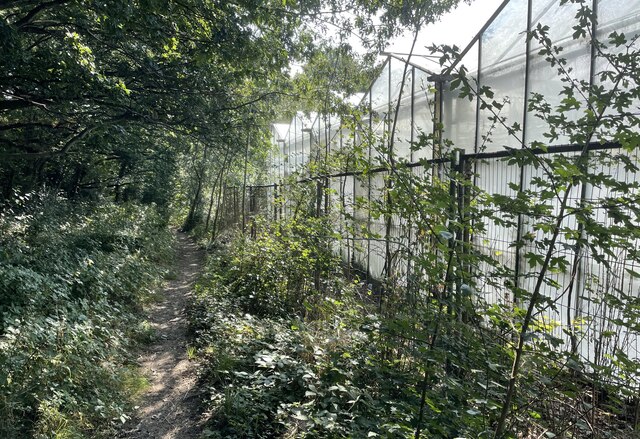
The Plantation
Wood, Forest in Sussex Horsham
England
The Plantation
The Plantation, Sussex, also known as Wood or Forest Plantation, is a vast woodland area located in the county of Sussex, England. Covering an expansive area of approximately 100 square kilometers, it is one of the largest and most significant forest plantations in the region.
The Plantation boasts a diverse range of tree species, with the predominant ones being oak, ash, beech, and birch. These towering trees create a dense canopy that provides a haven for various forms of flora and fauna. The woodland floor is adorned with a rich tapestry of wildflowers, ferns, and mosses, creating a vibrant and picturesque environment.
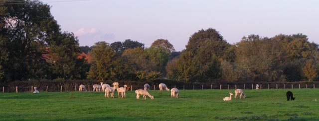
The plantation is home to a wide array of wildlife, including deer, foxes, badgers, and an abundance of bird species. It serves as an important habitat and breeding ground for many threatened and rare species, making it a vital conservation area. The management of the plantation is carried out with the aim of preserving and enhancing its biodiversity.
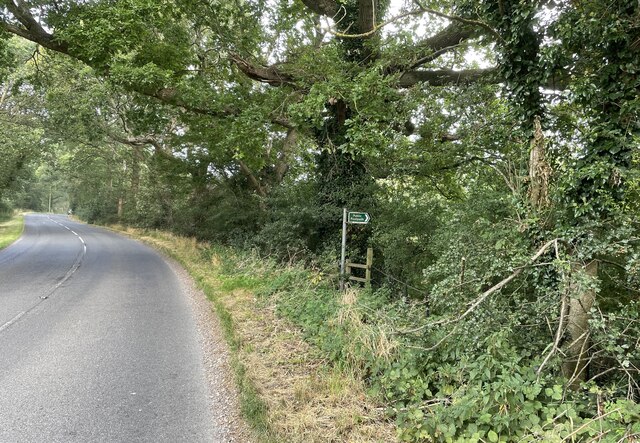
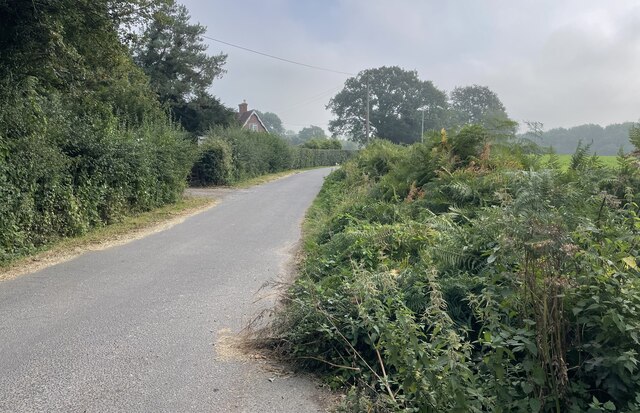
Visitors to The Plantation can enjoy a range of activities such as walking, hiking, and birdwatching. Numerous well-maintained trails crisscross the woodland, offering visitors the opportunity to explore and immerse themselves in the natural beauty of the area. The peaceful ambiance and stunning scenery make The Plantation an ideal destination for nature enthusiasts and those seeking tranquility.
In conclusion, The Plantation, Sussex, is a sprawling forest plantation that boasts a diverse array of tree species, abundant wildlife, and picturesque landscapes. It serves as an important conservation area and offers visitors the chance to engage in various outdoor activities while appreciating the beauty of nature.
If you have any feedback on the listing, please let us know in the comments section below.
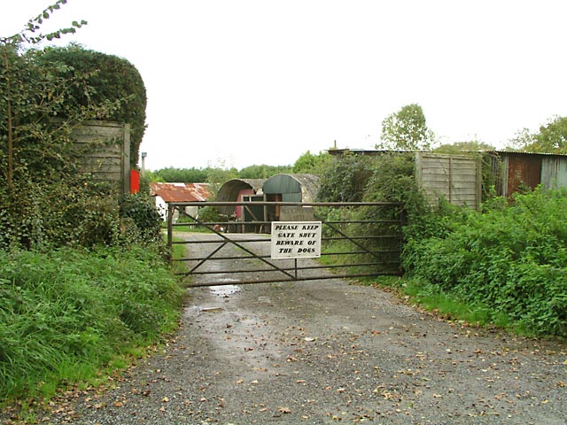
The Plantation Images
Images are sourced within 2km of 50.948184/-0.38374328 or Grid Reference TQ1317. Thanks to Geograph Open Source API. All images are credited.


The Plantation is located at Grid Ref: TQ1317 (Lat: 50.948184, Lng: -0.38374328)
Administrative County: West Sussex
District: Horsham
Police Authority: Sussex
What 3 Words
///suspend.subject.lecturers. Near Ashington, West Sussex
Nearby Locations
Related Wikis

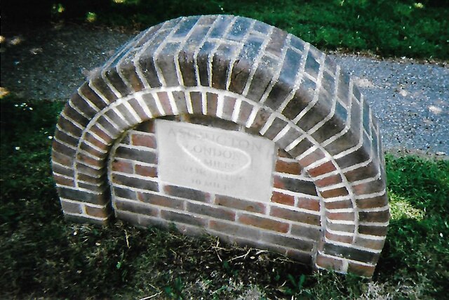
Ashington, West Sussex
Ashington is a village and civil parish in the Horsham District of West Sussex, England. It lies on the A24 road 3 miles (4.8 km) north-east of Storrington...

Brightling Park
Brightling Park (previously known as Rose Hill) is a country estate which lies in the parishes of Brightling and Dallington in the Rother district of East...

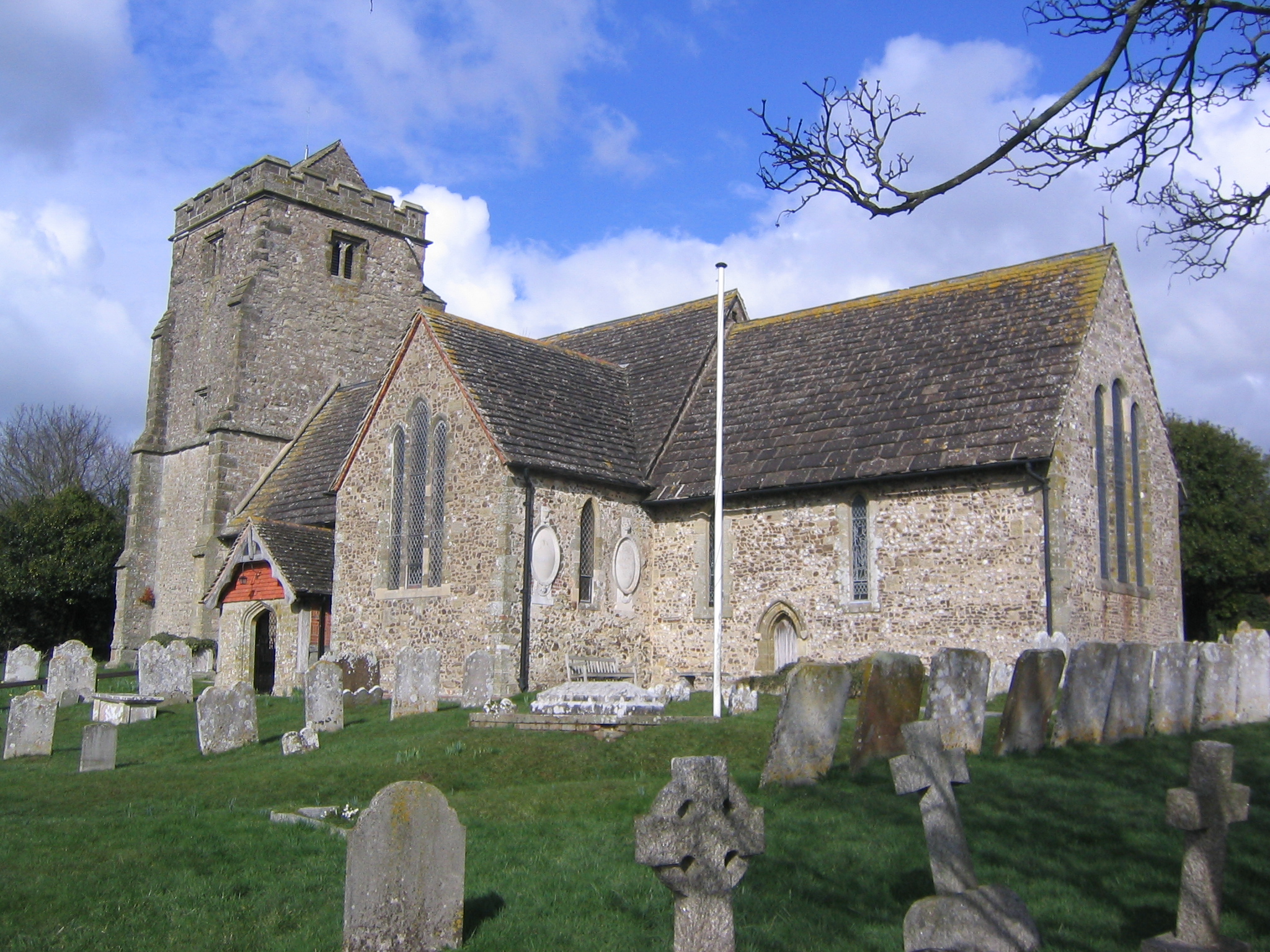
Church of the Holy Sepulchre, Warminghurst
The Church of the Holy Sepulchre is a former Anglican church in the hamlet of Warminghurst in the district of Horsham, one of seven local government districts...

Warminghurst
Warminghurst is a village and former civil parish, now in the parish of Thakeham, in the Horsham district of West Sussex, England. It lies on the Ashington...

Dial Post
Dial Post is a village in the Horsham District of West Sussex, England. The civil parish, where the lowest level political meetings are held, is West Grinstead...
Thakeham
Thakeham is a village and civil parish located north of the South Downs in the Horsham District of West Sussex, England. The village is situated approximately...
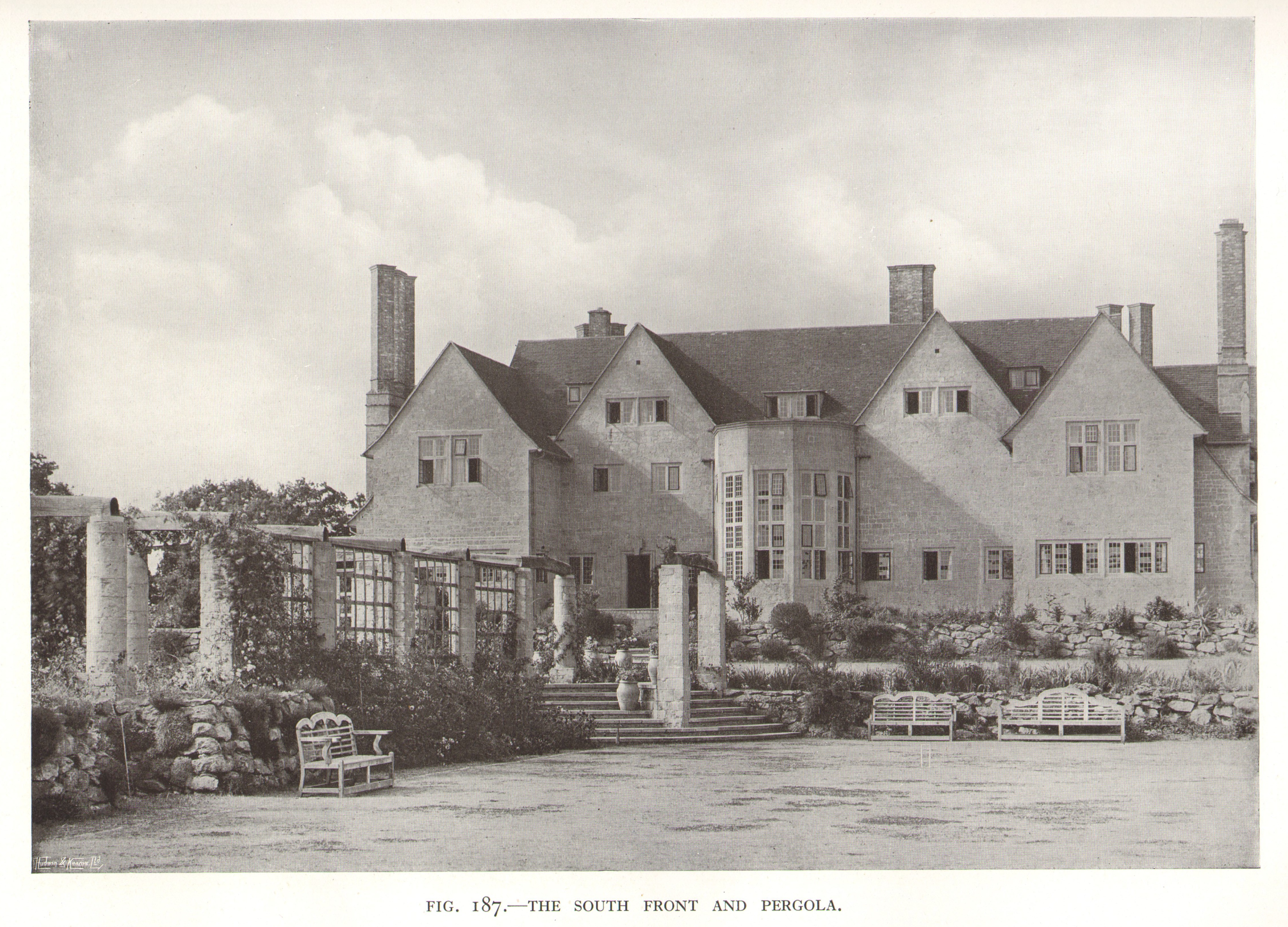
Little Thakeham
Little Thakeham is an Arts and Crafts style, Grade I listed private house in the parish of Thakeham, near the village of Storrington, in the Horsham district...

Wiston, West Sussex
Wiston is a scattered village and civil parish in the Horsham District of West Sussex, England. It lies on the A283 road 2.8 miles (4.5 km) northwest of...
Nearby Amenities
Located within 500m of 50.948184,-0.38374328Have you been to The Plantation?
Leave your review of The Plantation below (or comments, questions and feedback).