Folkingham

Civil Parish in Lincolnshire South Kesteven

England

Folkingham

Church of St Andrew, Folkingham Listed Grade I; from the 12th century. The dedication, to St Andrew, is particularly common in this area (see very good information boards inside church).
Church of St Andrew, Folkingham Credit: Tim Heaton

Folkingham is a civil parish located in the county of Lincolnshire, England. Situated roughly 9 miles north of Bourne and 12 miles south of Sleaford, the village lies on the A15 road, which provides easy access to nearby towns and cities. It is part of the South Kesteven district.

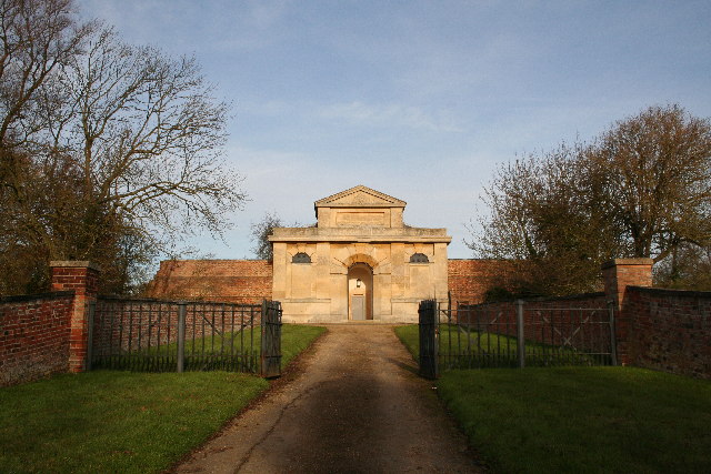
With a population of around 900 residents, Folkingham has a small and close-knit community. The village is known for its picturesque medieval architecture, with many buildings dating back centuries. The most notable of these is St. Andrew's Church, a Grade I listed building that stands as a testament to the village's rich history.

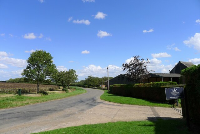
Folkingham offers a range of amenities to its residents, including a primary school, a village hall, a pub, and a post office. The village also hosts various community events throughout the year, such as the Folkingham Christmas Market and the Folkingham Vintage Fair, which attract visitors from the surrounding areas.

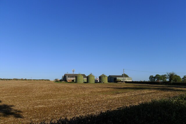
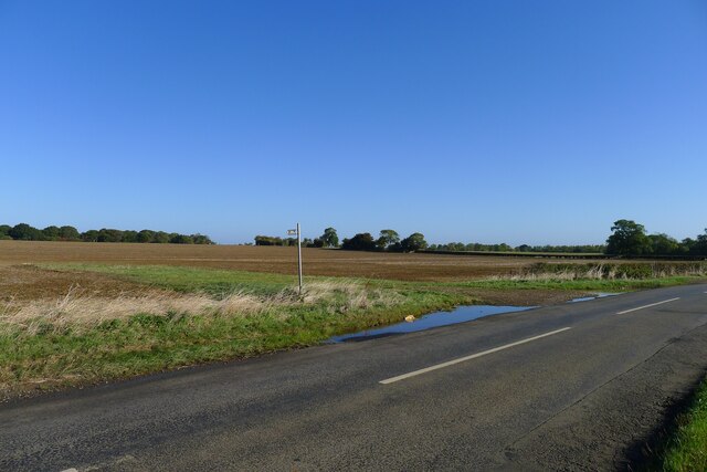
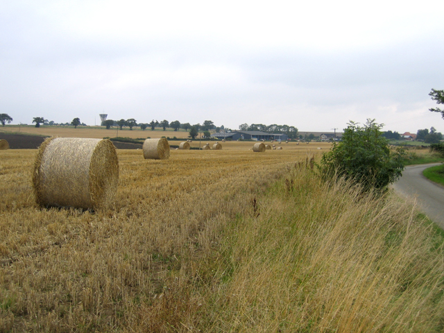
The surrounding countryside provides ample opportunities for outdoor activities, including walking, cycling, and horse riding. The village is also home to a number of local businesses, including shops, cafes, and small-scale agricultural enterprises.

Overall, Folkingham is a charming and tranquil village that offers a peaceful rural lifestyle, while still providing convenient access to nearby towns and cities. Its historical significance and strong sense of community make it an attractive place to live for those seeking a traditional English village experience.

If you have any feedback on the listing, please let us know in the comments section below.
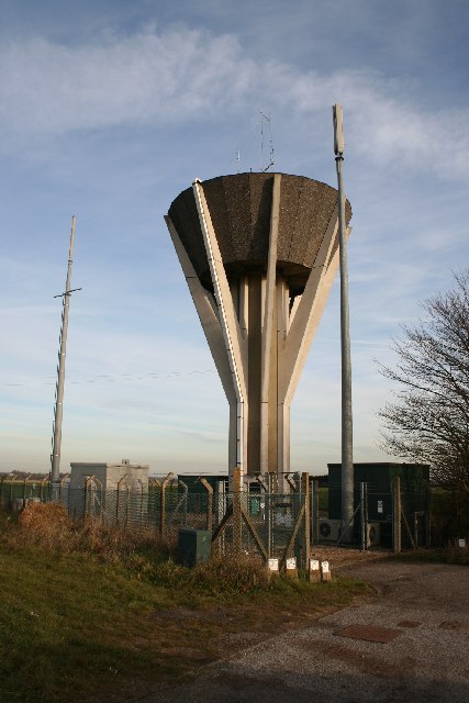
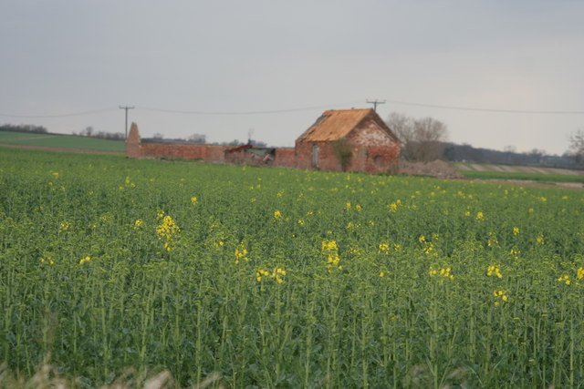
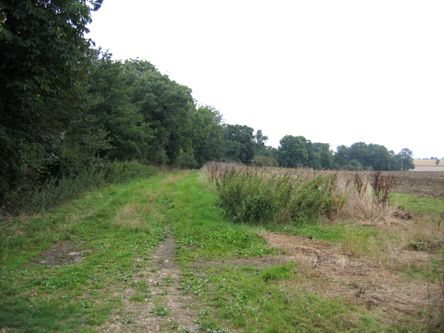
Folkingham Images

Images are sourced within 2km of 52.884279/-0.407319 or Grid Reference TF0733. Thanks to Geograph Open Source API. All images are credited.

Church of St Andrew, Folkingham Listed Grade I; from the 12th century. The dedication, to St Andrew, is particularly common in this area (see very good information boards inside church).
Church of St Andrew, Folkingham
Listed Grade I; from the 12th century. The dedication, to St Andrew, is particularly common in this area (see very good information boards inside church).
The Cross Britain Way leaving Folkingham Proceeding west through Folkingham's playing field
The Cross Britain Way leaving Folkingham
Proceeding west through Folkingham's playing field
The Cross Britain Way heading west over the Kesteven Uplands 'Uplands' perhaps a relative term after the Way has traversed the Fens.
The Cross Britain Way heading west over the Kesteven Uplands
'Uplands' perhaps a relative term after the Way has traversed the Fens.
Crossing a headwater tributary of the Ouse Mere Lode The Cross Britain Way between Folkingham and Pickworth
Crossing a headwater tributary of the Ouse Mere Lode
The Cross Britain Way between Folkingham and Pickworth
The road from Walcot to Folkingham
The road from Folkingham to Walcot
Washdyke Farm from Billingborough Road A limited archaeological investigation was carried out at the farm prior to construction of a grain store, but nothing of note was found <span class="nowrap"><a title="https://archaeologydataservice.ac.uk/library/browse/issue.xhtml?recordId=1111651&recordType=GreyLitSeries" rel="nofollow ugc noopener" href="https://archaeologydataservice.ac.uk/library/browse/issue.xhtml?recordId=1111651&recordType=GreyLitSeries">Link</a><img style="margin-left:2px;" alt="External link" title="External link - shift click to open in new window" src="https://s1.geograph.org.uk/img/external.png" width="10" height="10"/></span> .
Washdyke Farm from Billingborough Road
A limited archaeological investigation was carried out at the farm prior to construction of a grain store, but nothing of note was found LinkExternal link .
Footpath off Billingborough Road The footpath leads to Folkingham
Footpath off Billingborough Road
The footpath leads to Folkingham
The A15 north of Folkingham The A15 is the main north-south road in Lincolnshire, running the entire length of the county for almost 100 miles between Hessle, near Kingston upon Hull, and Peterborough via Lincoln, Sleaford and Bourne. It is also the road that crosses the Humber Bridge.
The A15 north of Folkingham
The A15 is the main north-south road in Lincolnshire, running the entire length of the county for almost 100 miles between Hessle, near Kingston upon Hull, and Peterborough via Lincoln, Sleaford and Bourne. It is also the road that crosses the Humber Bridge.
Road to Folkingham passing Owens Barn Farm
Saint Andrew's Church, Folkingham. St Andrew's Church was built between 1350 and 1530 and although its 15th century tower can be seen as you approach the village, it is tucked away in a lane off the market place.
Saint Andrew's Church, Folkingham.
St Andrew's Church was built between 1350 and 1530 and although its 15th century tower can be seen as you approach the village, it is tucked away in a lane off the market place.
Walcot Lane.
Walcot Lane.
The House of Correction Built in 1825 by architect Bryan Browning, the gatehouse / Governor's house of Folkingham's House of Correction inside the moated area of the medieval castle.
The House of Correction
Built in 1825 by architect Bryan Browning, the gatehouse / Governor's house of Folkingham's House of Correction inside the moated area of the medieval castle.
Folkingham Water Tower On the high ground to the south of Folkingham village
Folkingham Water Tower
On the high ground to the south of Folkingham village
Barn near Birthorpe
Barn near Birthorpe
The Greyhound Inn Forming the northern side of the spacious square at Folkingham. The Greyhound Inn had its heyday as a coaching inn, most recently used as an antiques centre, but now closed with an uncertain future.

Update: As of 3 Dec.2008 there were indications of work in progress to convert  the building into apartments.  ML
The Greyhound Inn
Forming the northern side of the spacious square at Folkingham. The Greyhound Inn had its heyday as a coaching inn, most recently used as an antiques centre, but now closed with an uncertain future. Update: As of 3 Dec.2008 there were indications of work in progress to convert the building into apartments. ML
Greenfields Lane, Laughton, Lincs a public access route north to Folkingham.
Greenfields Lane, Laughton, Lincs
a public access route north to Folkingham.
Bales of wheat straw, Laughton, Lincs
Show me another place!

Folkingham is located at Grid Ref: TF0733 (Lat: 52.884279, Lng: -0.407319)

Administrative County: Lincolnshire

District: South Kesteven

Police Authority: Lincolnshire

What 3 Words

///buzzards.finishes.trending. Near Billingborough, Lincolnshire

Nearby Locations

Folkingham Folkingham

Related Wikis

Folkingham

Folkingham ( FOK-ing-əm) is a village and civil parish in the South Kesteven district of Lincolnshire, England. It lies on the A15 road 11 miles (18 km...

Folkingham Castle

Folkingham Castle is located near the village of Folkingham, Lincolnshire, England. The castle was the caput baroniae of the barony of Folkingham. A motte...

St Andrew's Church, Folkingham

The Church of St Andrew in Folkingham, Lincolnshire, England, is Grade I–listed Anglican church. Originating in the late 12th century, it was largely completed...

Walcot, Lincolnshire

Walcot is a village and civil parish in the North Kesteven district of Lincolnshire, England. It lies 1 mile (1.6 km) west from the A15, 7 miles (11 km...

St James' Church, Aslackby

St James the Great Church is a Grade I listed Church of England parish church dedicated to James, son of Zebedee in Aslackby, Lincolnshire, England. The...

Stow Fair, Lincolnshire

Stow Fair was an English medieval fair inaugurated in 1233 and held at Stow Green Hill in Lincolnshire.The Prior of Sempringham was granted permission...

Aslackby and Laughton

Aslackby and Laughton is a civil parish in the South Kesteven district of Lincolnshire, England. According to the 2001 census the parish had a population...

Aslackby Preceptory

Aslackby Preceptory in Lincolnshire lay to the south-east of Aslackby Church. Until about 1891 a tower, possibly of the preceptory church, together with...

Nearby Amenities

Located within 500m of 52.884279,-0.407319
Bus Stop
House of Correction
Bus: yes
Naptan AtcoCode: 270000008948
Naptan Bearing: W
Naptan CommonName: House of Correction
Naptan Indicator: opp
Naptan Landmark: House Of Correction
Naptan NaptanCode: lingwjgp
Naptan Street: Billingborough Road
Naptan Verified: no
Public Transport: platform
Source: naptan_import
Lat/Long: 52.8875355/-0.4035933
Bus Stop
House of Correction
Bus: yes
Naptan AtcoCode: 270000008949
Naptan Bearing: E
Naptan CommonName: House of Correction
Naptan Indicator: adj
Naptan Landmark: House Of Correction
Naptan NaptanCode: lingwjgt
Naptan Street: Billingborough Road
Naptan Verified: no
Public Transport: platform
Source: naptan_import
Lat/Long: 52.8875433/-0.4041727
Low Farm
Place: farm
Source: Bing
Lat/Long: 52.8872745/-0.4116207
Millfield Farm
Place: farm
Source: Bing
Lat/Long: 52.8840592/-0.4036111
Power: pole
Lat/Long: 52.8855859/-0.4038268
Power: pole
Lat/Long: 52.8859378/-0.4027322
Power: pole
Lat/Long: 52.8863123/-0.4015694
Ford: yes
Lat/Long: 52.8870839/-0.4092584
Bench
Lat/Long: 52.886418/-0.4090326
Man Made: flagpole
Lat/Long: 52.8879993/-0.4074139
Advertising: board
Lat/Long: 52.8880134/-0.4073473
Entrance: yes
Lat/Long: 52.887985/-0.407528
Noexit: yes
Lat/Long: 52.8887256/-0.4080053
Noexit: yes
Lat/Long: 52.8885625/-0.4075536
The data included in this document is from www.openstreetmap.org. The data is made available under ODbL.

Have you been to Folkingham?

Leave your review of Folkingham below (or comments, questions and feedback).