Brockhampton
Settlement in Hampshire Havant
England
Brockhampton
Brockhampton is a small village located in the county of Hampshire, England. Situated on the outskirts of the city of Winchester, it is nestled in the picturesque countryside of the South Downs National Park.
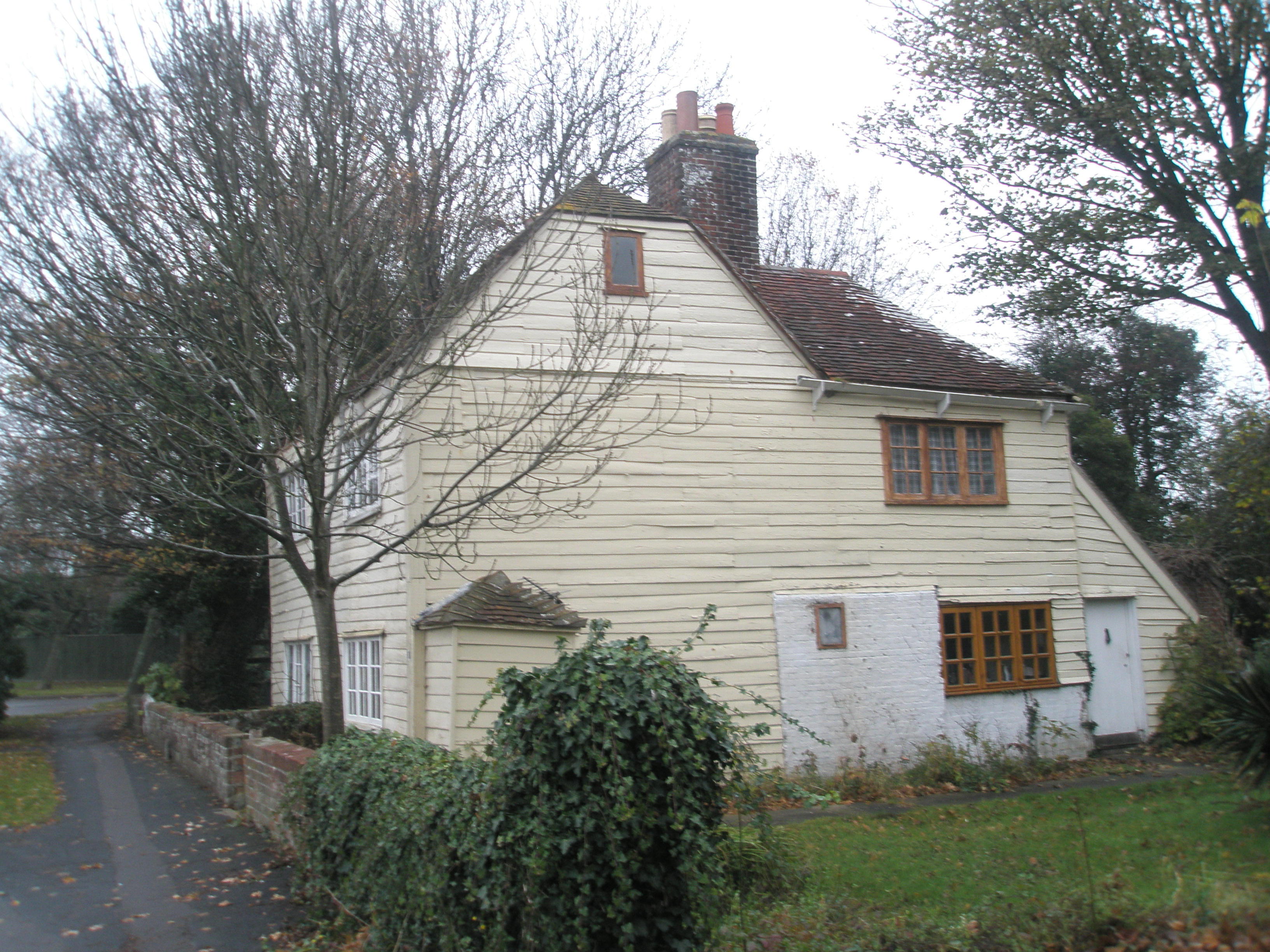
With a population of around 500, Brockhampton boasts a tightly-knit community that is known for its friendly and welcoming atmosphere. The village is characterized by its charming thatched cottages and traditional architecture, which adds to its quaint and idyllic charm.
Despite its small size, Brockhampton offers a range of amenities to its residents. These include a village hall, a primary school, a local pub, and a small convenience store. The village hall serves as a hub for community activities and events, providing a space for various social gatherings, clubs, and classes.
The surrounding area is a haven for outdoor enthusiasts, with numerous walking and cycling routes crisscrossing the countryside. The rolling hills and beautiful landscapes provide breathtaking views and opportunities to explore nature. Additionally, the village is within easy reach of popular tourist attractions such as Winchester Cathedral and Marwell Zoo.
Overall, Brockhampton is a quintessential English village that offers a peaceful and scenic setting for its residents. Its close-knit community, picturesque surroundings, and access to amenities make it an attractive place to call home for those seeking a serene rural lifestyle.
If you have any feedback on the listing, please let us know in the comments section below.
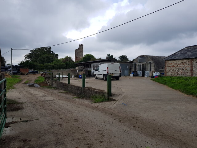
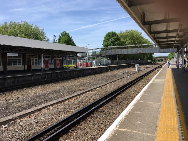
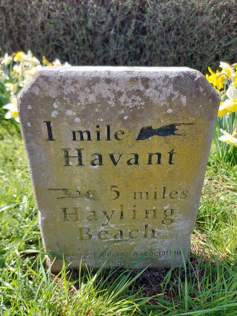
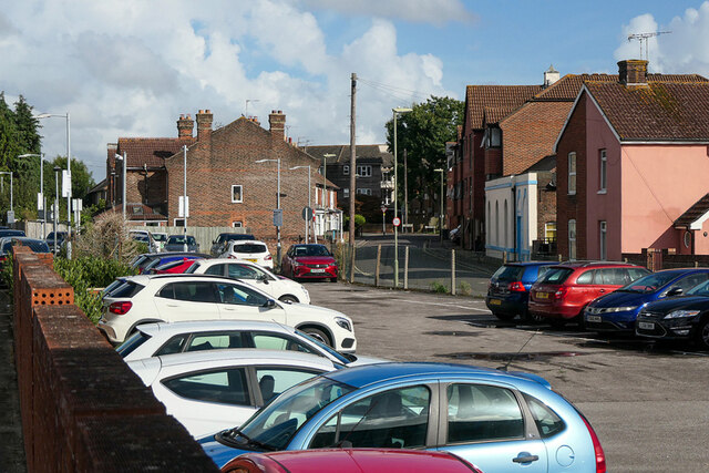
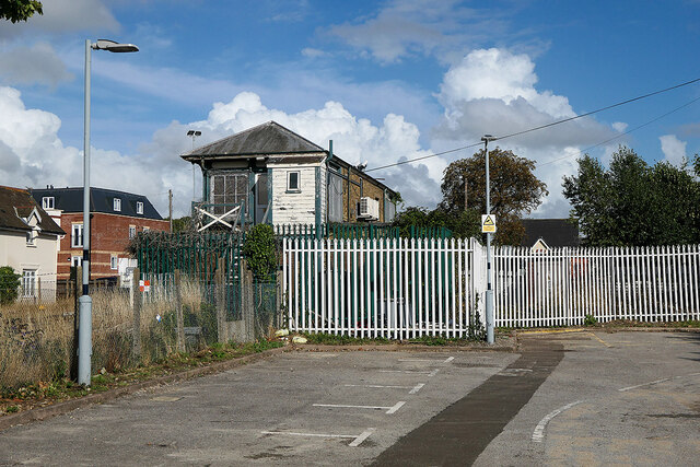
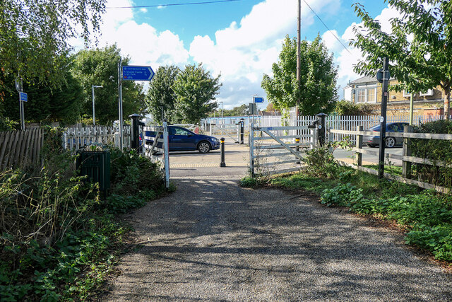
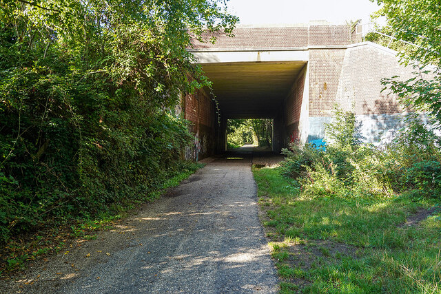
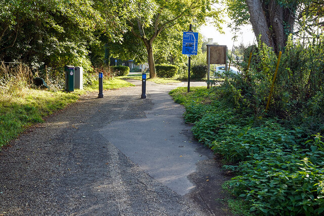
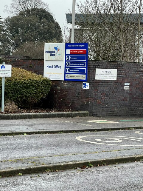
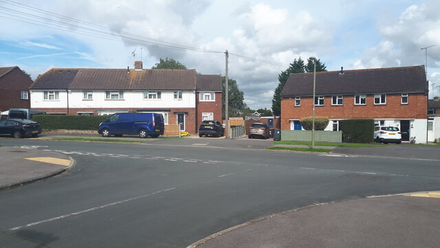
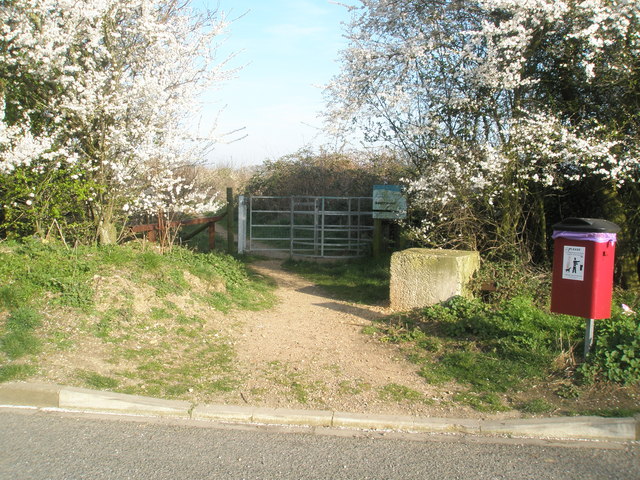
Brockhampton Images
Images are sourced within 2km of 50.846422/-0.994299 or Grid Reference SU7005. Thanks to Geograph Open Source API. All images are credited.


Brockhampton is located at Grid Ref: SU7005 (Lat: 50.846422, Lng: -0.994299)
Administrative County: Hampshire
District: Havant
Police Authority: Hampshire
What 3 Words
///voters.claims.ports. Near Havant, Hampshire
Nearby Locations
Related Wikis
Southmoor Nature Reserve
Southmoor Nature Reserve is a 11-hectare (27-acre) nature reserve in Havant in Hampshire. It is managed by the Hampshire and Isle of Wight Wildlife Trust...

Bedhampton railway station
Bedhampton railway station serves the former village of Bedhampton, now a suburb lying a mile west of the centre of Havant, in Hampshire, England. ��2...

Havant
Havant ( HAV-ənt) is a town in the south-east corner of Hampshire, England between Portsmouth and Chichester. Its borough (population: 125,000) comprises...
Borough of Havant
The Borough of Havant is a local government district with borough status in Hampshire, England. Its council is based in Havant. Other places within the...
Langston railway station
Langston was a small station on the Hayling Island branch. The station along with the rest of the line closed in 1963, and it served the Langstone area...
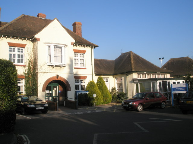
Havant War Memorial Hospital
Havant War Memorial Hospital was a health facility in Crossway in Havant, Hampshire, England. It was managed by Southern Health NHS Foundation Trust....

The Elms (Bedhampton)
The Elms is an historic house in Old Bedhampton, near Havant, Hampshire in England. It is a Grade II* listed building The house was built in the 17th century...
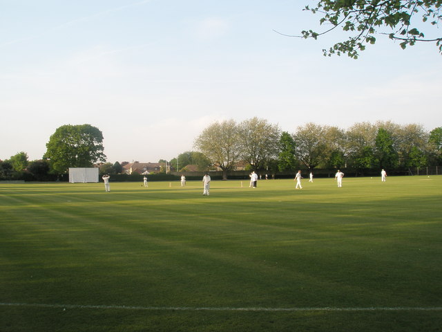
Havant Cricket Club
Havant Cricket Club is an amateur cricket club based at Havant, Hampshire. The club's first team plays in the Southern Premier Cricket League, which is...
Nearby Amenities
Located within 500m of 50.846422,-0.994299Have you been to Brockhampton?
Leave your review of Brockhampton below (or comments, questions and feedback).