Brockhampton Mill Lake
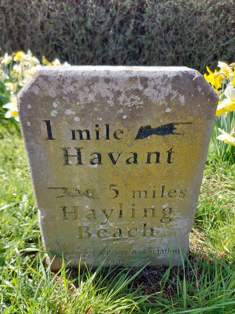
Sea, Estuary, Creek in Hampshire Havant
England
Brockhampton Mill Lake
Brockhampton Mill Lake is a picturesque body of water located in Hampshire, England. Nestled amidst a serene and verdant landscape, this lake offers a tranquil retreat for visitors seeking to escape the hustle and bustle of daily life.
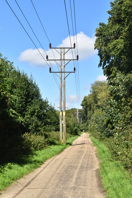
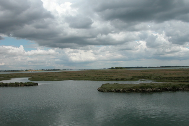
Situated on the outskirts of the village of Brockhampton, the lake is primarily fed by a small creek that meanders through the surrounding countryside. The creek eventually opens up into an estuary, which then flows into the sea. This unique geographical feature provides a diverse ecosystem, attracting a wide variety of flora and fauna.
The lake itself spans approximately 20 acres, offering ample space for recreational activities such as fishing, boating, and birdwatching. Anglers are drawn to the lake's abundant fish population, which includes species such as carp, pike, and perch. Bird enthusiasts can also spot various waterfowl, including swans, ducks, and herons, as well as the occasional visiting migratory bird.
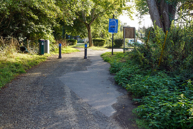
The tranquil ambiance of Brockhampton Mill Lake makes it an ideal location for those seeking a peaceful day out in nature. Surrounded by lush greenery and towering trees, visitors can enjoy scenic walks along the lake's shores or simply relax on one of the many benches dotted around the area.
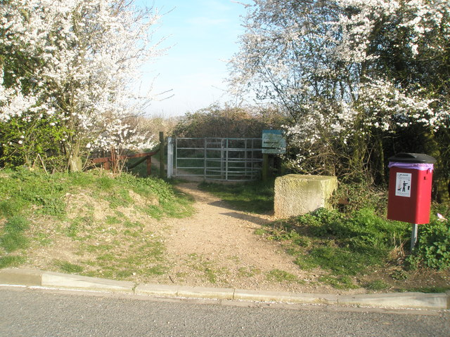
Accessible by foot or by a short drive from nearby villages, Brockhampton Mill Lake is a hidden gem in Hampshire. Its natural beauty and diverse wildlife make it a must-visit destination for nature lovers and outdoor enthusiasts alike.
If you have any feedback on the listing, please let us know in the comments section below.
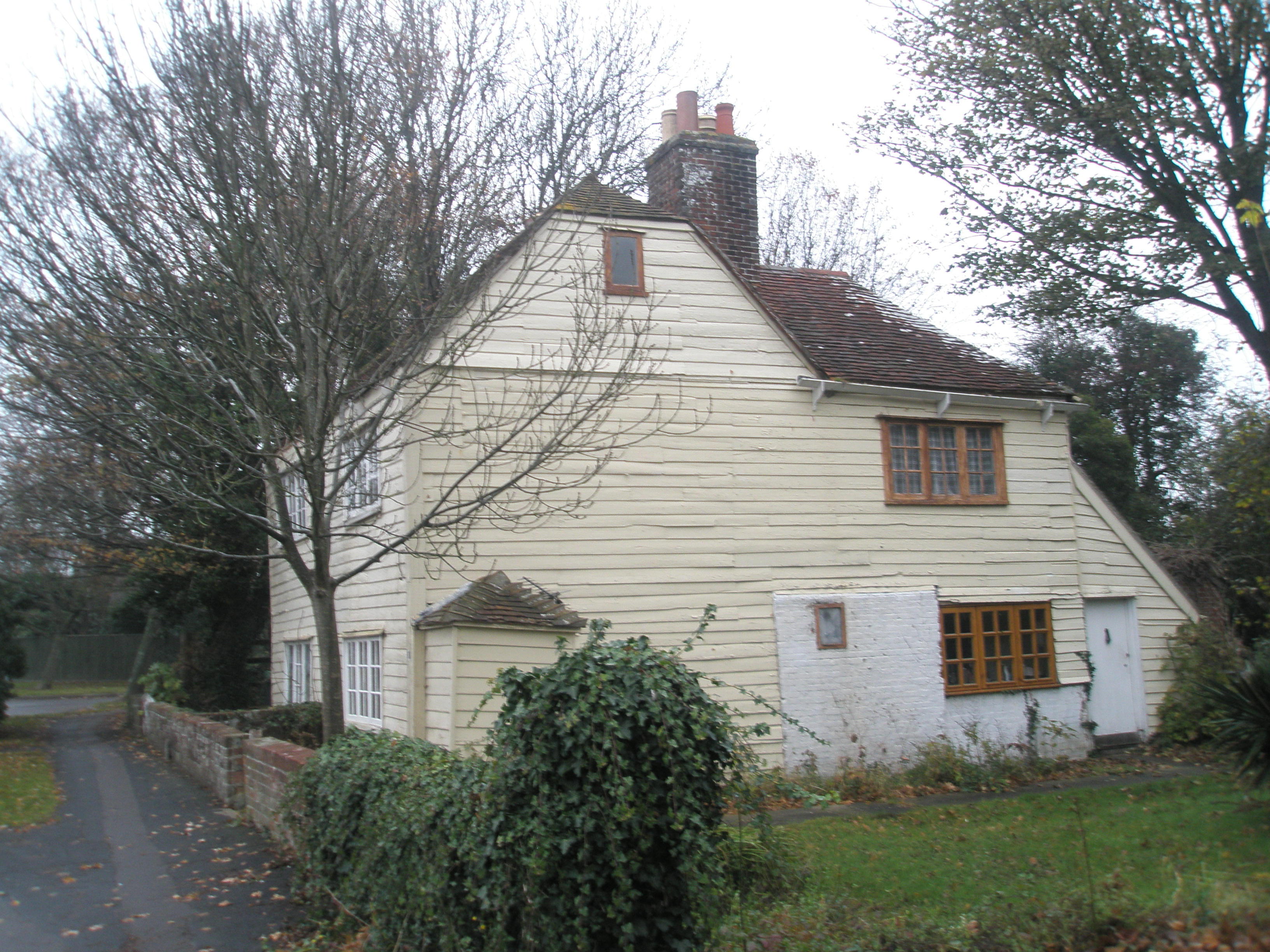
Brockhampton Mill Lake Images
Images are sourced within 2km of 50.843862/-1.0017832 or Grid Reference SU7005. Thanks to Geograph Open Source API. All images are credited.


Brockhampton Mill Lake is located at Grid Ref: SU7005 (Lat: 50.843862, Lng: -1.0017832)
Administrative County: Hampshire
District: Havant
Police Authority: Hampshire
What 3 Words
///healers.calls.look. Near Havant, Hampshire
Nearby Locations
Related Wikis
Southmoor Nature Reserve
Southmoor Nature Reserve is a 11-hectare (27-acre) nature reserve in Havant in Hampshire. It is managed by the Hampshire and Isle of Wight Wildlife Trust...

The Elms (Bedhampton)
The Elms is an historic house in Old Bedhampton, near Havant, Hampshire in England. It is a Grade II* listed building The house was built in the 17th century...

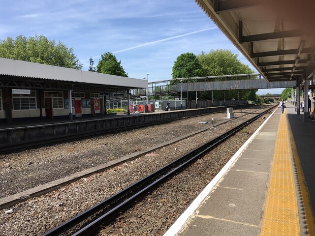
Bedhampton railway station
Bedhampton railway station serves the former village of Bedhampton, now a suburb lying a mile west of the centre of Havant, in Hampshire, England. ��2...

Keydell House
Keydell House was situated in 45 acres (180,000 m2) of land near Lovedean Corner, in the village of Horndean, part of the ecclesiastical parish of Catherington...
Bedhampton
Bedhampton is a former village, and now suburb, located in the Borough of Havant, Hampshire, England. It is located at the northern end of Langstone Harbour...

Long Island (Hampshire)
Long Island is an island in Langstone Harbour in Hampshire, England. It is 750 metres (820 yd) long and up to 250 metres (270 yd) wide. Three Bronze Age...
Langston railway station
Langston was a small station on the Hayling Island branch. The station along with the rest of the line closed in 1963, and it served the Langstone area...
North Binness Island
North Binness Island is an island in Langstone Harbour It is 900 metres (980 yd) long and up to 250 metres (270 yd) wide but only rises to 2.5 metres...
Nearby Amenities
Located within 500m of 50.843862,-1.0017832Have you been to Brockhampton Mill Lake?
Leave your review of Brockhampton Mill Lake below (or comments, questions and feedback).