Ewelme
Civil Parish in Oxfordshire South Oxfordshire
England
Ewelme
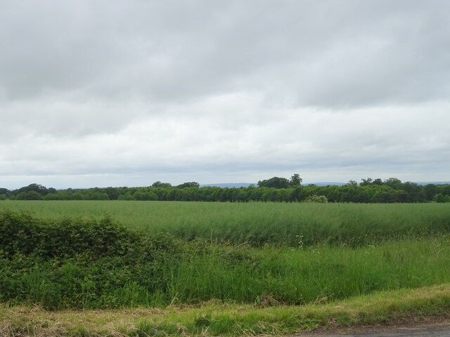
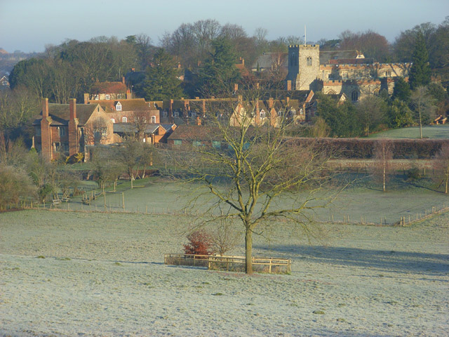
Ewelme is a civil parish located in Oxfordshire, England. Situated approximately six miles southwest of the market town of Wallingford, it covers an area of about 2.5 square miles. The village itself is nestled in the Chiltern Hills, offering picturesque views of the surrounding countryside.
Ewelme is renowned for its historical significance. The village is home to several notable landmarks, including the Church of St. Mary the Virgin, a Grade I listed building dating back to the 15th century. This stunning church features a beautiful stained glass window created by the famous artist Thomas Becket, as well as an intricately carved tomb of Alice, Duchess of Suffolk.
The village also boasts the Ewelme Almshouses, a charitable institution established in the 15th century by Alice, Duchess of Suffolk. These almshouses still provide accommodation for elderly residents and are open to the public for viewing.
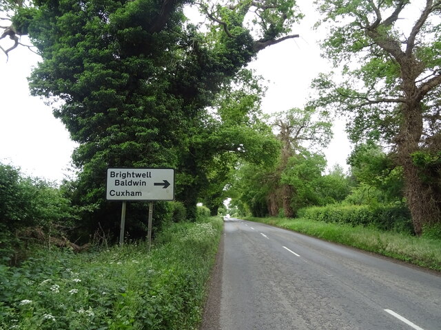
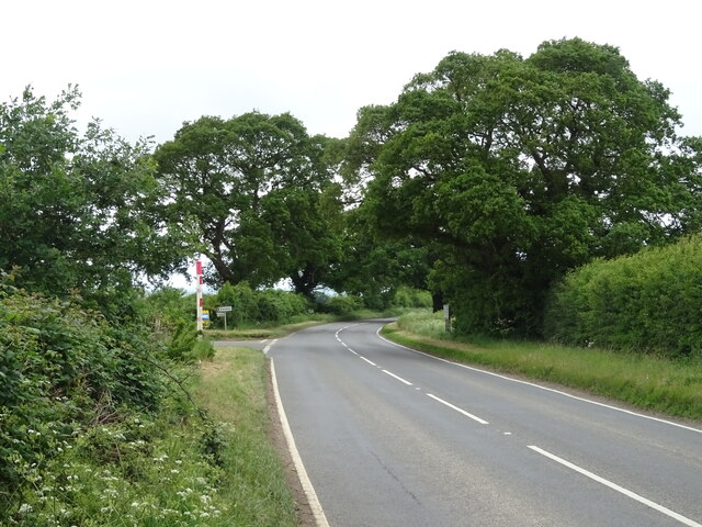
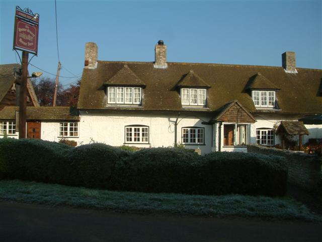
In addition to its historical attractions, Ewelme offers a range of amenities to its residents. These include a primary school, a village hall, a local pub, and a post office. The village is well-connected by road, with easy access to nearby towns and cities, making it an attractive place to live for those seeking a peaceful rural lifestyle within reach of urban conveniences.
Ewelme is a charming village with a rich heritage, attracting visitors from near and far who come to appreciate its historical sites and enjoy the tranquility of its rural setting.
If you have any feedback on the listing, please let us know in the comments section below.
Ewelme Images
Images are sourced within 2km of 51.62065/-1.063312 or Grid Reference SU6491. Thanks to Geograph Open Source API. All images are credited.


Ewelme is located at Grid Ref: SU6491 (Lat: 51.62065, Lng: -1.063312)
Administrative County: Oxfordshire
District: South Oxfordshire
Police Authority: Thames Valley
What 3 Words
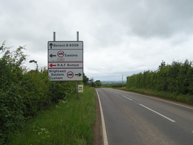
///doubt.dissolve.feelers. Near Benson, Oxfordshire
Nearby Locations
Related Wikis
Ewelme
Ewelme () is a village and civil parish in the Chiltern Hills in South Oxfordshire, 2.5 miles (4 km) north-east of the market town of Wallingford. The...
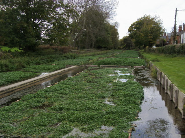
Ewelme Watercress Beds
Ewelme Watercress Beds is a 2.6-hectare (6.4-acre) Local Nature Reserve in Ewelme in Oxfordshire. It is owned and managed by the Chiltern Society.A stream...
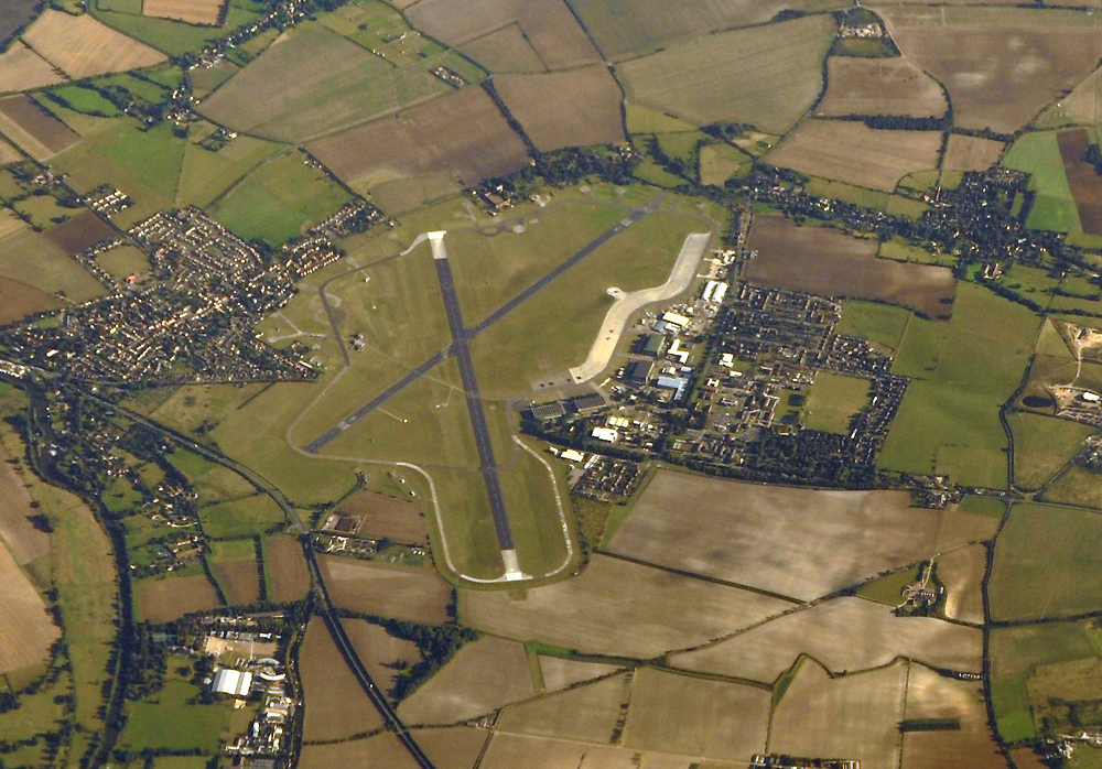
RAF Benson
Royal Air Force Benson or RAF Benson (IATA: BEX, ICAO: EGUB) is a Royal Air Force (RAF) station located at Benson, near Wallingford, in South Oxfordshire...

Benson Veteran Cycle Museum
Benson Veteran Cycle Museum is a private museum of veteran cycles in the village of Benson near Wallingford in Oxfordshire, England.The museum has over...

Swyncombe Downs
Swyncombe Downs is a 47.1-hectare (116-acre) biological Site of Special Scientific Interest east of Wallingford in Oxfordshire.This is an area of chalk...

Britwell Salome
Britwell Salome is a village and civil parish in South Oxfordshire, England centred 4+1⁄2 miles (7 km) northeast of Wallingford. The 2011 Census recorded...
Roke
Roke is a hamlet in South Oxfordshire, about 3 miles (4.8 km) north of Wallingford. It has a sixteenth-century public house, the Home Sweet Home. It is...

A4130 road
The A4130 is a British A road which runs from a junction with the A404 at Burchetts Green (Maidenhead), Berkshire to the A417 at Rowstock in Oxfordshire...
Nearby Amenities
Located within 500m of 51.62065,-1.063312Have you been to Ewelme?
Leave your review of Ewelme below (or comments, questions and feedback).