Ewart
Civil Parish in Northumberland
England
Ewart

Ewart is a civil parish located in the county of Northumberland, England. It is situated in the northern part of the county, near the Scottish border. The parish covers an area of approximately 10 square miles and is home to a small population of around 200 residents.
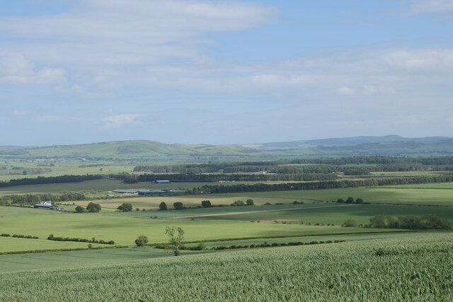
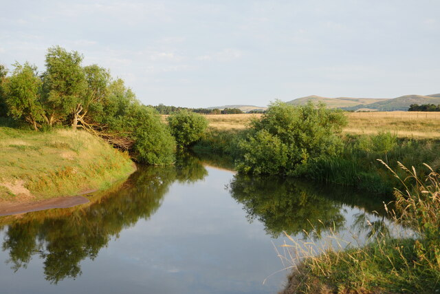
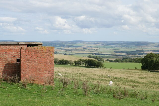
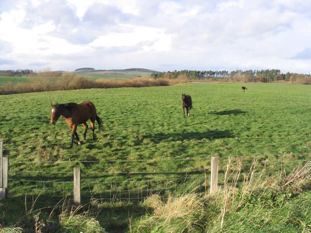
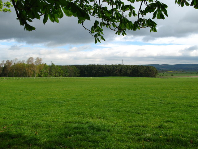
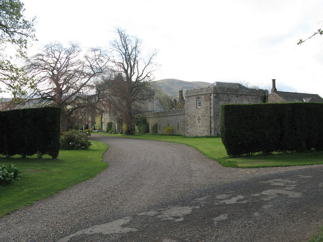
The landscape of Ewart is characterized by rolling hills, open fields, and scattered woodland areas. The parish is mainly rural, with a few scattered farms and houses dotting the countryside. The River Till flows through the southern part of the parish, providing a natural boundary.
Ewart is known for its picturesque beauty and tranquil atmosphere. The area offers a peaceful retreat for those looking to escape the hustle and bustle of city life. The surrounding countryside provides ample opportunities for outdoor activities such as hiking, cycling, and birdwatching.
Historically, Ewart has been an agricultural community, with farming being the main economic activity. However, in recent years, there has been a shift towards diversification, with some residents engaged in other industries such as tourism and small businesses.
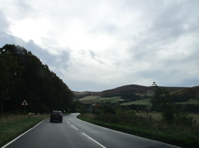
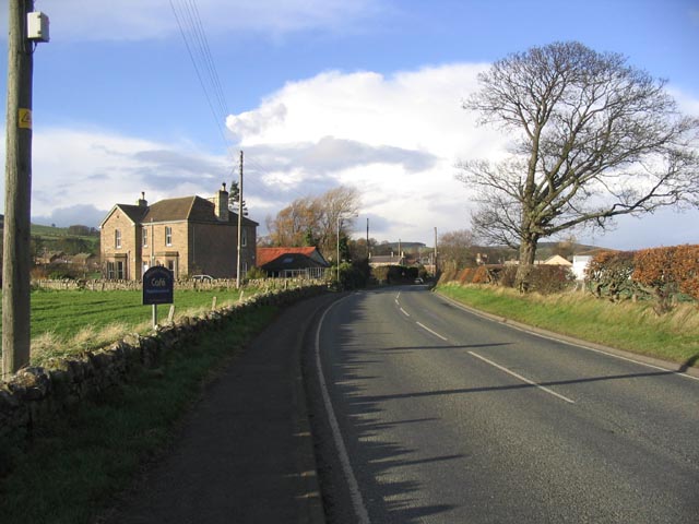
The parish is well-connected to nearby towns and villages by road, with the A697 road passing through the eastern part of the area. The nearest town, Cornhill-on-Tweed, is approximately 2 miles to the southeast and offers basic amenities such as shops and schools.
Overall, Ewart is a charming rural parish that offers a peaceful and idyllic setting for residents and visitors alike.
If you have any feedback on the listing, please let us know in the comments section below.
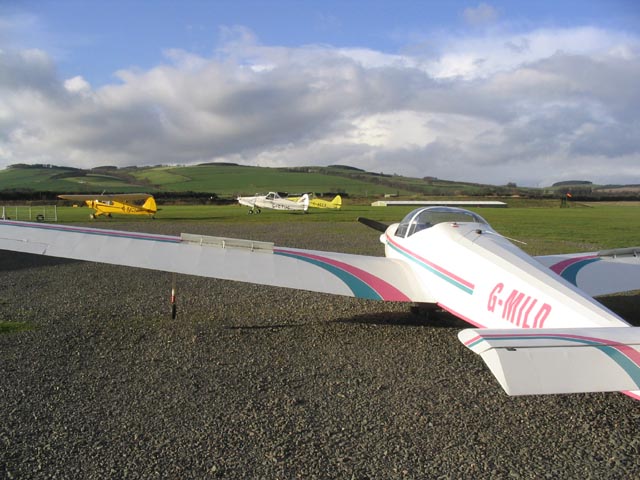
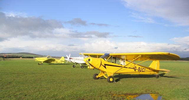
Ewart Images
Images are sourced within 2km of 55.58308/-2.09018 or Grid Reference NT9432. Thanks to Geograph Open Source API. All images are credited.


Ewart is located at Grid Ref: NT9432 (Lat: 55.58308, Lng: -2.09018)
Unitary Authority: Northumberland
Police Authority: Northumbria
What 3 Words
///sloping.restless.seagulls. Near Kirknewton, Northumberland
Nearby Locations
Related Wikis

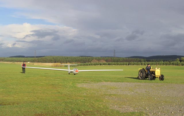
RAF Milfield
Royal Air Force Milfield or more simply RAF Milfield is a former Royal Air Force station which operated during the Second World War, located near Milfield...
Coupland, Northumberland
Coupland is a village and former civil parish, now in the parish of Ewart, in Northumberland, England. It is on the north bank of the River Glen about...
Coupland Castle
Coupland Castle is situated in the village of Coupland, 4 miles (6 km) to the north-west of Wooler, Northumberland, England. It is a Grade I listed building...

Maelmin Henge
Maelmin Henge is modern interpretation/reconstruction of a henge monument near the village of Milfield, Northumberland in the Till Valley. It was built...
Nearby Amenities
Located within 500m of 55.58308,-2.09018Have you been to Ewart?
Leave your review of Ewart below (or comments, questions and feedback).