Evesham
Civil Parish in Worcestershire Wychavon
England
Evesham

Evesham is a civil parish located in the county of Worcestershire, England. Situated on the banks of the River Avon, this historic market town has a population of over 23,000 residents. The town is known for its picturesque scenery, charming architecture, and rich history.
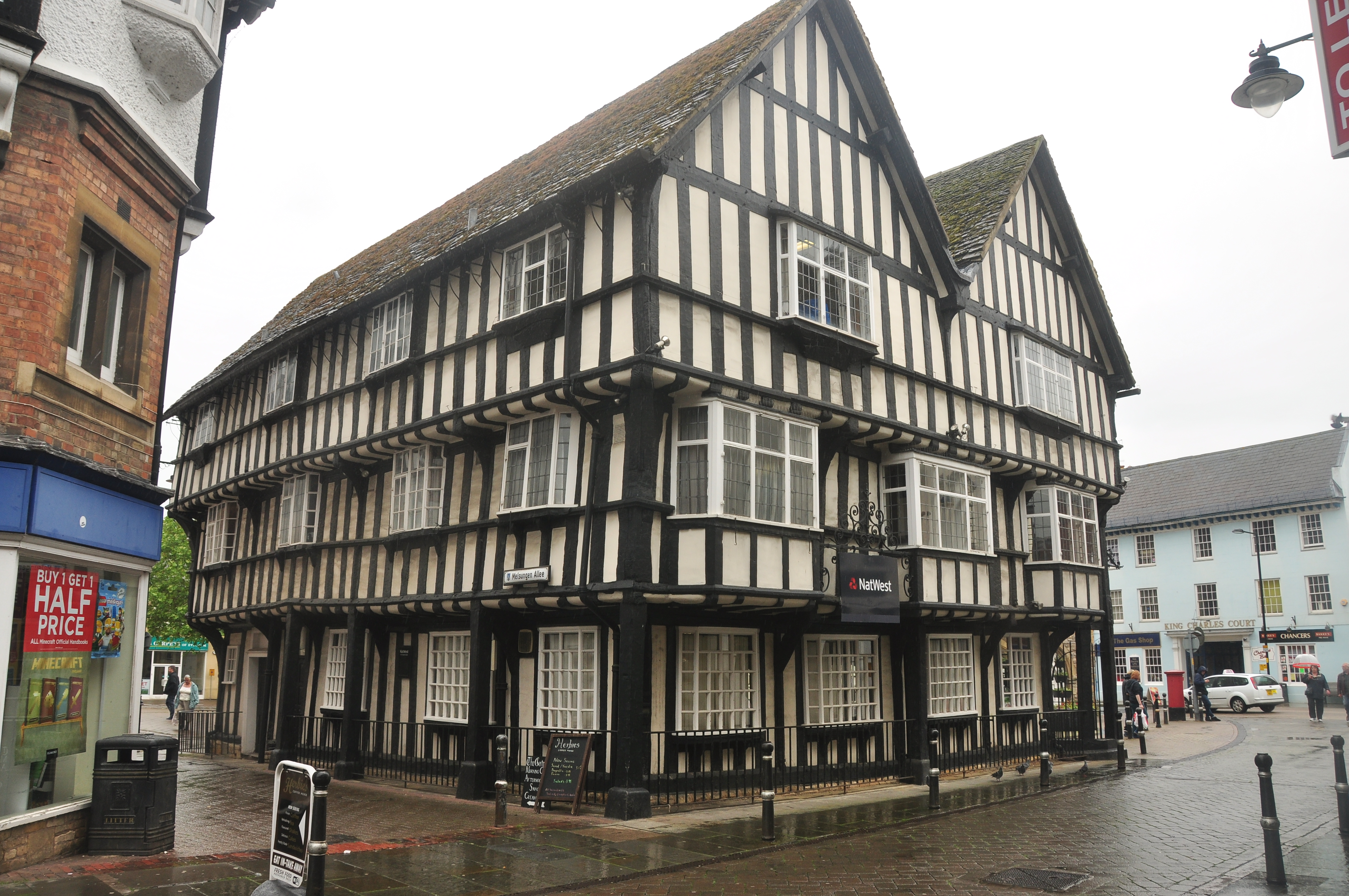
Evesham has a long and storied past, with evidence of settlement dating back to the Roman era. The town flourished in the Middle Ages, becoming an important center for trade and agriculture. Today, remnants of its medieval heritage can still be seen in the town's timber-framed buildings and narrow, winding streets.
The town's economy is primarily based on agriculture, with fruit-growing and market gardening being prominent industries. Evesham is particularly famous for its asparagus, which is celebrated annually with the Evesham Asparagus Festival. The town also has a thriving tourism industry, attracting visitors with its beautiful countryside, historical landmarks, and the nearby Cotswolds.
Evesham offers a range of amenities and facilities to its residents and visitors. The town has several schools, leisure centers, and sports clubs, providing opportunities for education, recreation, and fitness. It also boasts a variety of shops, restaurants, and pubs, where locals and tourists can enjoy a vibrant social scene.
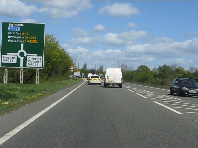
Transport links in Evesham are well-developed, with good road connections to nearby towns and cities. The town has its own train station, providing regular services to Worcester, Birmingham, and London.
Overall, Evesham, Worcestershire, is a charming and picturesque town that offers a blend of history, natural beauty, and modern amenities.
If you have any feedback on the listing, please let us know in the comments section below.
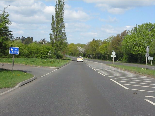
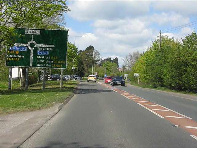
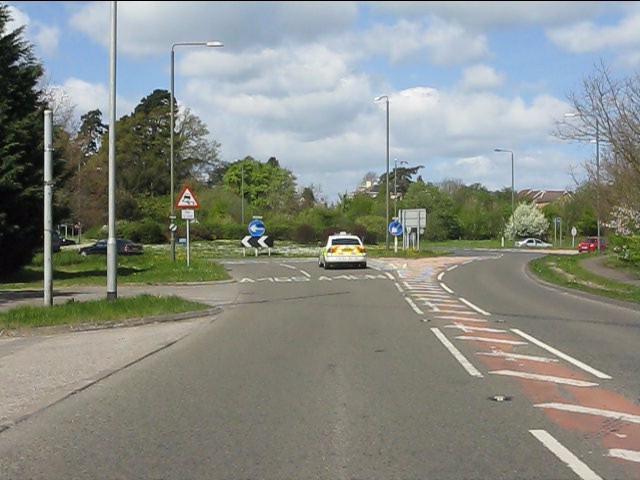
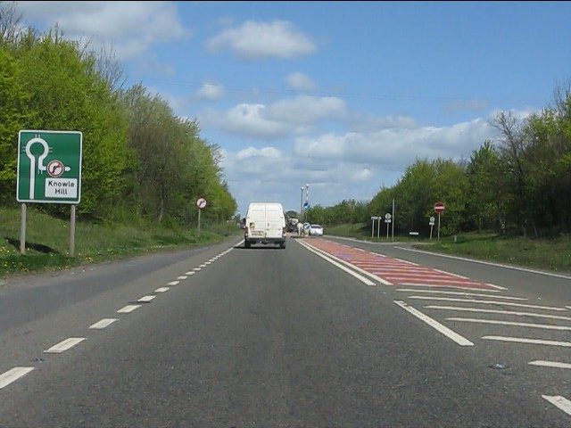
Evesham Images
Images are sourced within 2km of 52.088783/-1.946739 or Grid Reference SP0343. Thanks to Geograph Open Source API. All images are credited.


Evesham is located at Grid Ref: SP0343 (Lat: 52.088783, Lng: -1.946739)
Administrative County: Worcestershire
District: Wychavon
Police Authority: West Mercia
What 3 Words
///deform.amazed.funnels. Near Evesham, Worcestershire
Nearby Locations
Related Wikis

Evesham Rowing Club
Evesham Rowing Club is a rowing club on the River Avon, based at The Boathouse, Abbey Park, Evesham, Worcestershire. == History == The club was founded...
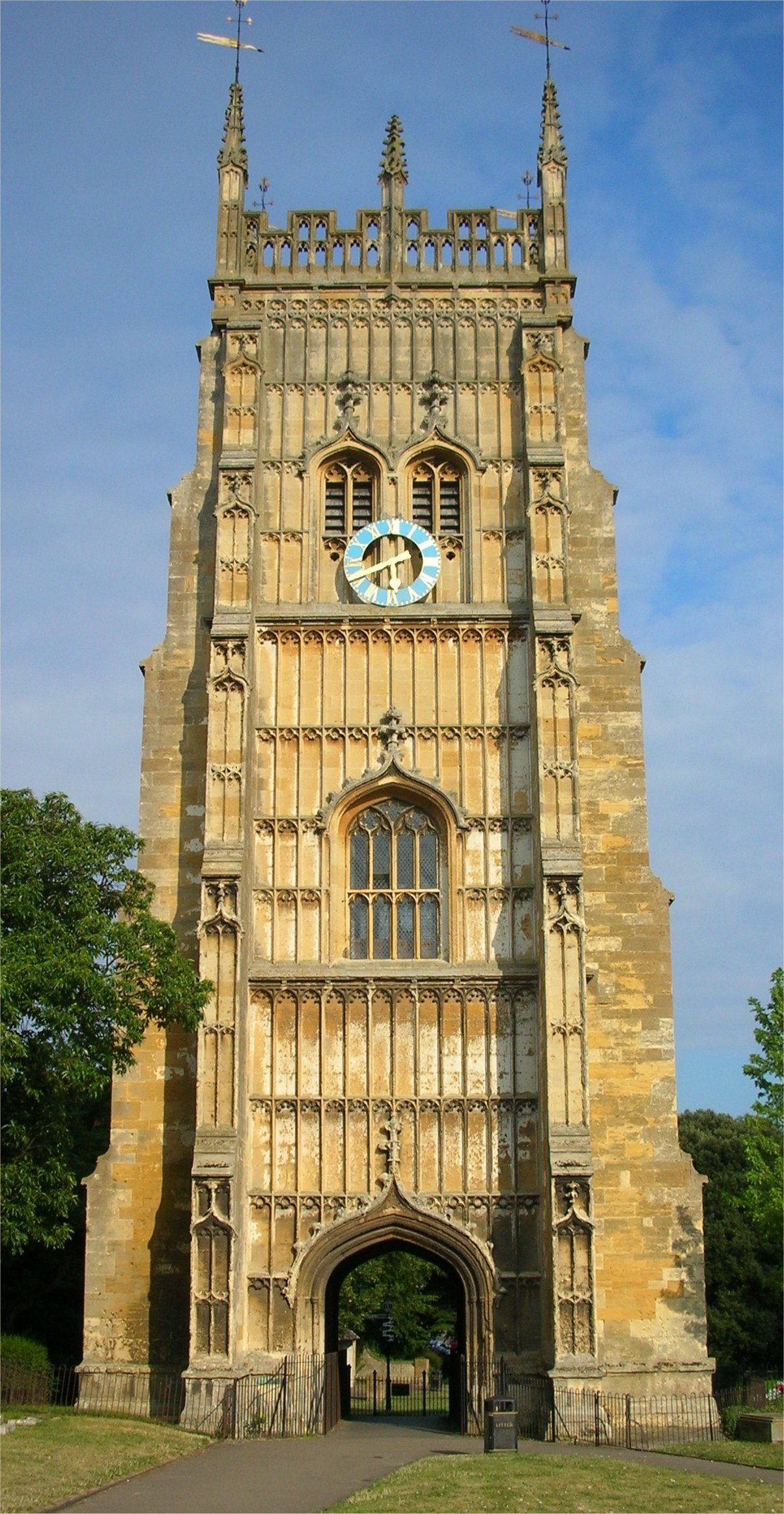
Evesham Abbey
Evesham Abbey was founded by Saint Egwin at Evesham in Worcestershire, England between 700 and 710 following an alleged vision of the Virgin Mary by a...
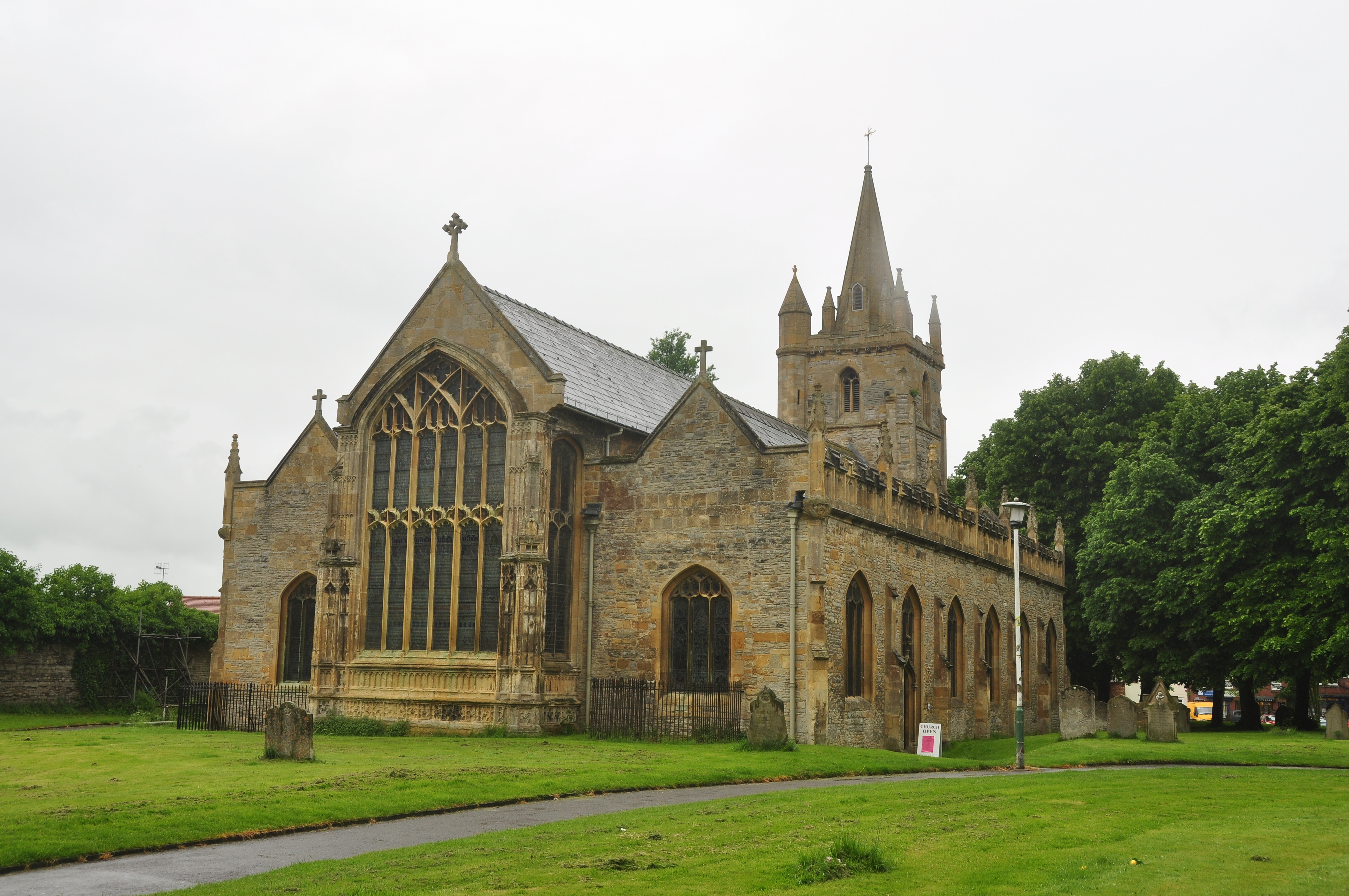
St Lawrence's Church, Evesham
St Lawrence's Church is a redundant Anglican church in the centre of the town of Evesham, Worcestershire, England. It is recorded in the National Heritage...
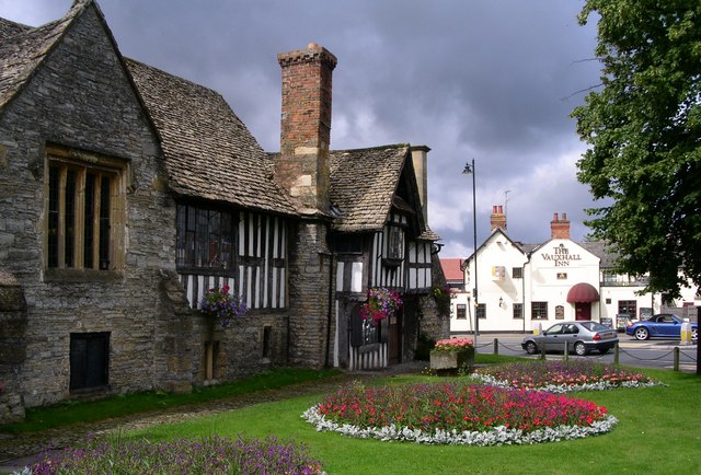
Almonry Museum and Heritage Centre
The Almonry Museum and Tourist Information Centre is a museum in Evesham in Worcestershire, England. It is also referred to as The Almonry Museum and just...
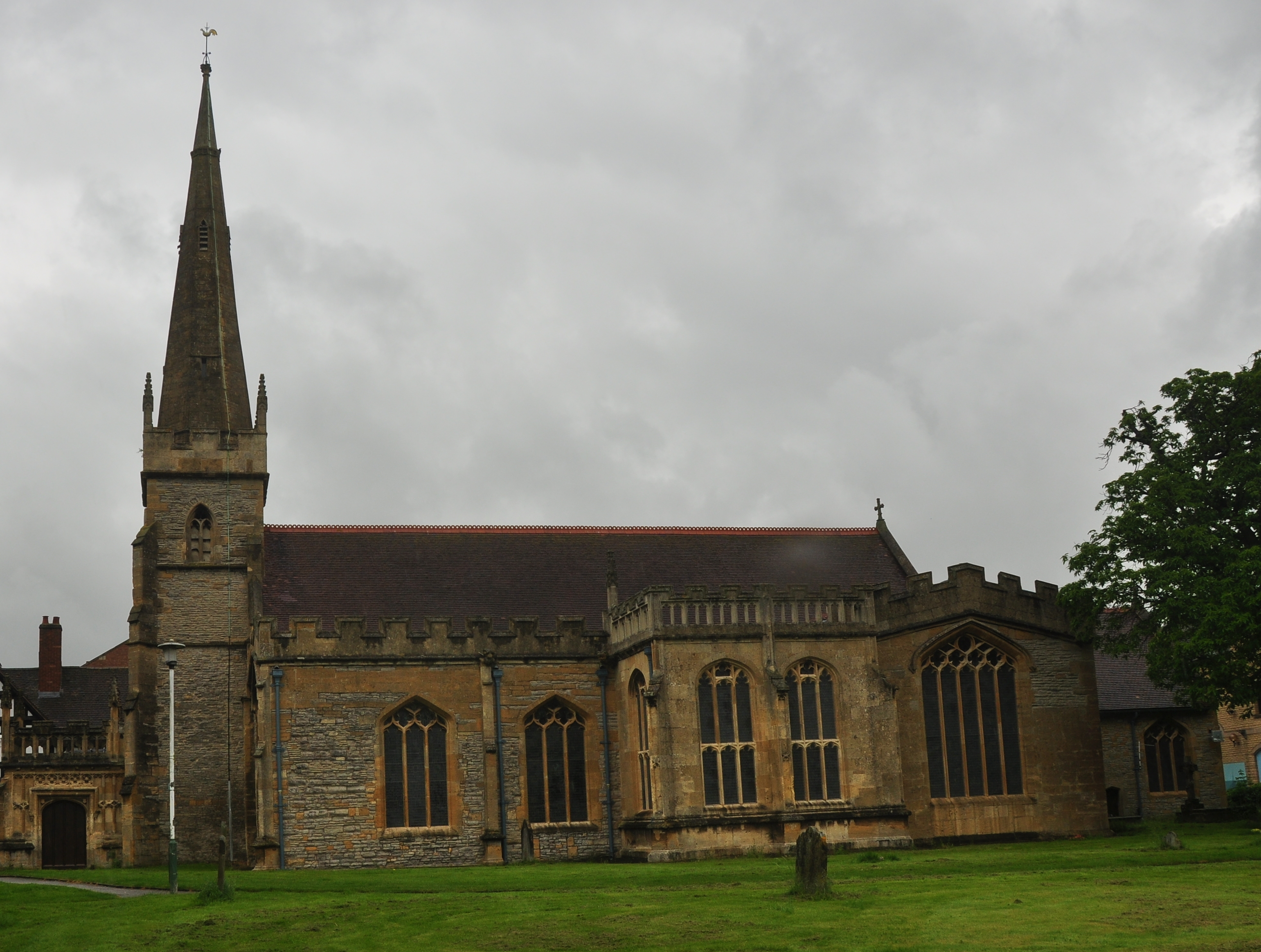
All Saints Church, Evesham
All Saints Church is an active Anglican church in the centre of the town of Evesham, Worcestershire, England. All Saints and its neighbour St Lawrence...
Evesham
Evesham () is a market town and parish in the Wychavon district of Worcestershire, in the West Midlands region of England. It is located roughly equidistant...

Evesham Town Hall
Evesham Town Hall is a municipal structure in the Market Place in Evesham, Worcestershire, England. The town hall, which was the headquarters of Evesham...

The De Montfort School
The De Montfort School (formerly known as The Federation of Evesham High School & Simon de Montfort Middle School) is a co-educational secondary school...
Nearby Amenities
Located within 500m of 52.088783,-1.946739Have you been to Evesham?
Leave your review of Evesham below (or comments, questions and feedback).