Crown Meadow
Urban Greenspace in Worcestershire Wychavon
England
Crown Meadow

Crown Meadow is a picturesque urban greenspace located in the county of Worcestershire, England. Situated near the town of Droitwich Spa, this open area covers approximately 30 acres and provides a tranquil escape from the hustle and bustle of urban life.
The meadow boasts lush green fields, dotted with numerous trees, creating a serene environment for visitors to relax and enjoy the natural beauty surrounding them. It is a popular spot for both locals and tourists, offering a range of recreational activities and amenities.
For nature enthusiasts, Crown Meadow is home to an array of wildlife, including ducks, swans, and various bird species. The meandering River Salwarpe flows through the meadow, adding to the idyllic setting and providing an opportunity for visitors to enjoy riverside walks or picnics by the water's edge.
Sports enthusiasts can take advantage of the well-maintained sports facilities available at Crown Meadow, including football pitches, cricket nets, and a skate park. The meadow also features a children's play area, making it an ideal destination for families.
In addition to its natural beauty and recreational amenities, Crown Meadow hosts a number of community events throughout the year. These include music festivals, fairs, and charity runs, which bring the local community together and add vibrancy to the greenspace.
Overall, Crown Meadow in Worcestershire offers a diverse range of activities and attractions, making it a cherished greenspace for residents and visitors alike. Whether one seeks tranquility amidst nature or an active day out, this urban oasis provides a delightful experience for all.
If you have any feedback on the listing, please let us know in the comments section below.
Crown Meadow Images
Images are sourced within 2km of 52.087931/-1.9490479 or Grid Reference SP0343. Thanks to Geograph Open Source API. All images are credited.


Crown Meadow is located at Grid Ref: SP0343 (Lat: 52.087931, Lng: -1.9490479)
Administrative County: Worcestershire
District: Wychavon
Police Authority: West Mercia
What 3 Words
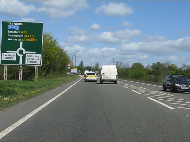
///lotteries.oppose.shadows. Near Evesham, Worcestershire
Nearby Locations
Related Wikis

Evesham Rowing Club
Evesham Rowing Club is a rowing club on the River Avon, based at The Boathouse, Abbey Park, Evesham, Worcestershire. == History == The club was founded...
Almonry Museum and Heritage Centre
The Almonry Museum and Tourist Information Centre is a museum in Evesham in Worcestershire, England. It is also referred to as The Almonry Museum and just...
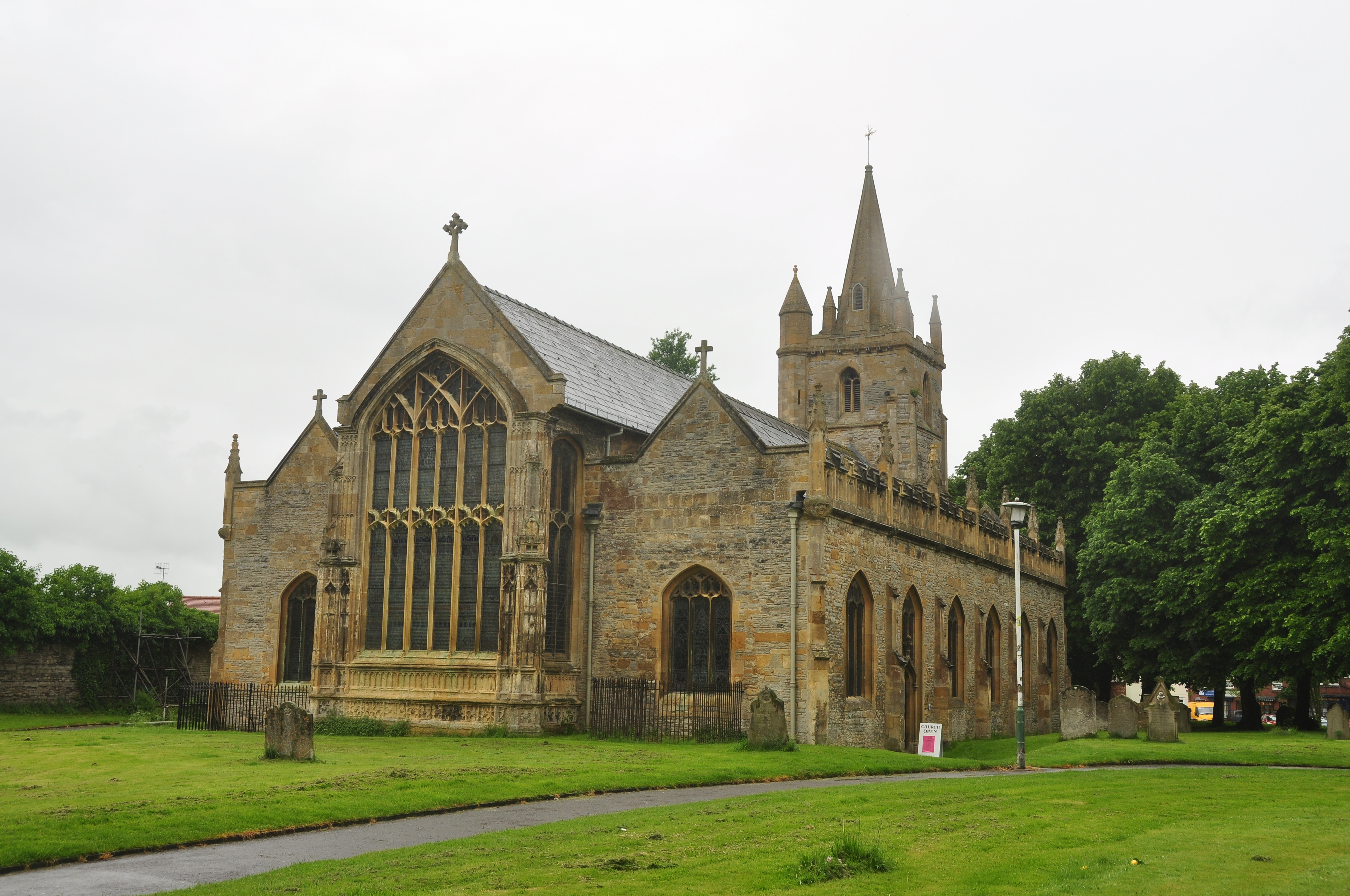
St Lawrence's Church, Evesham
St Lawrence's Church is a redundant Anglican church in the centre of the town of Evesham, Worcestershire, England. It is recorded in the National Heritage...
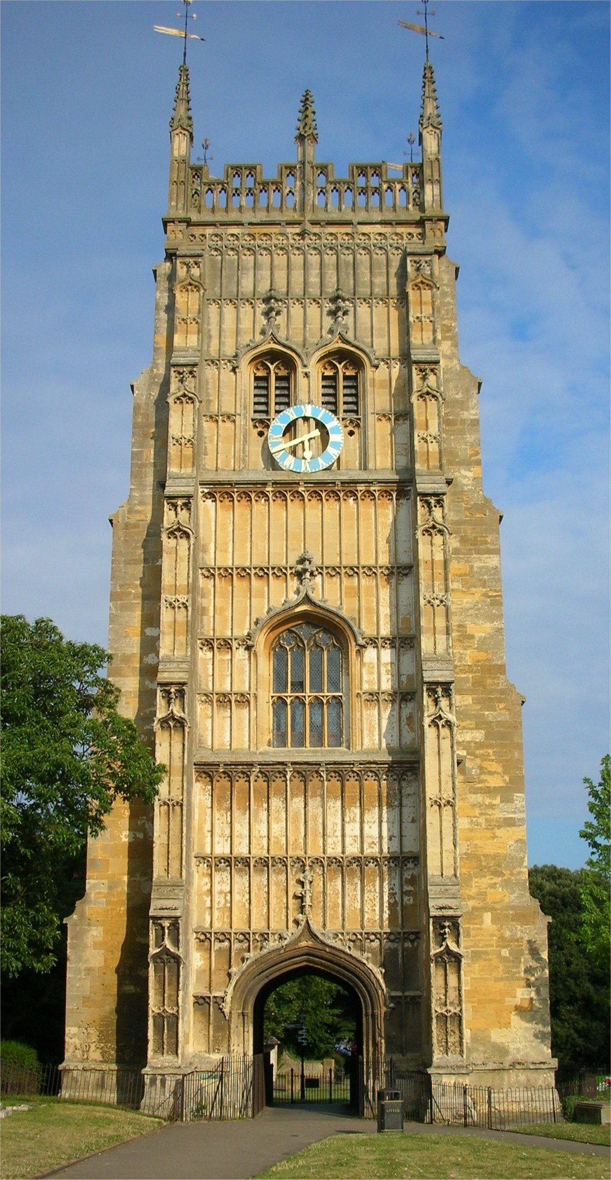
Evesham Abbey
Evesham Abbey was founded by Saint Egwin at Evesham in Worcestershire, England between 700 and 710 following an alleged vision of the Virgin Mary by a...
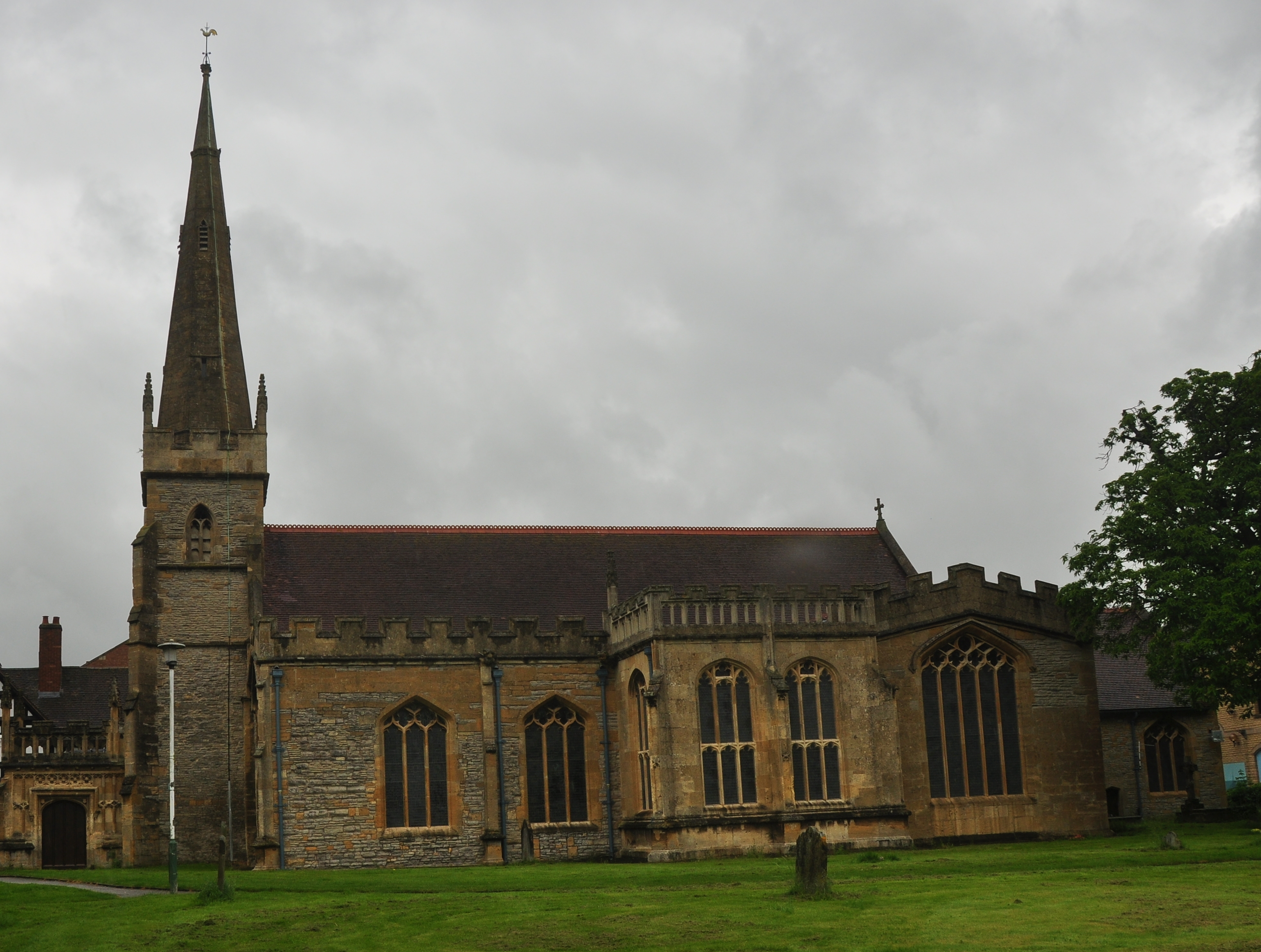
All Saints Church, Evesham
All Saints Church is an active Anglican church in the centre of the town of Evesham, Worcestershire, England. All Saints and its neighbour St Lawrence...
Evesham
Evesham () is a market town and parish in the Wychavon district of Worcestershire, in the West Midlands region of England. It is located roughly equidistant...

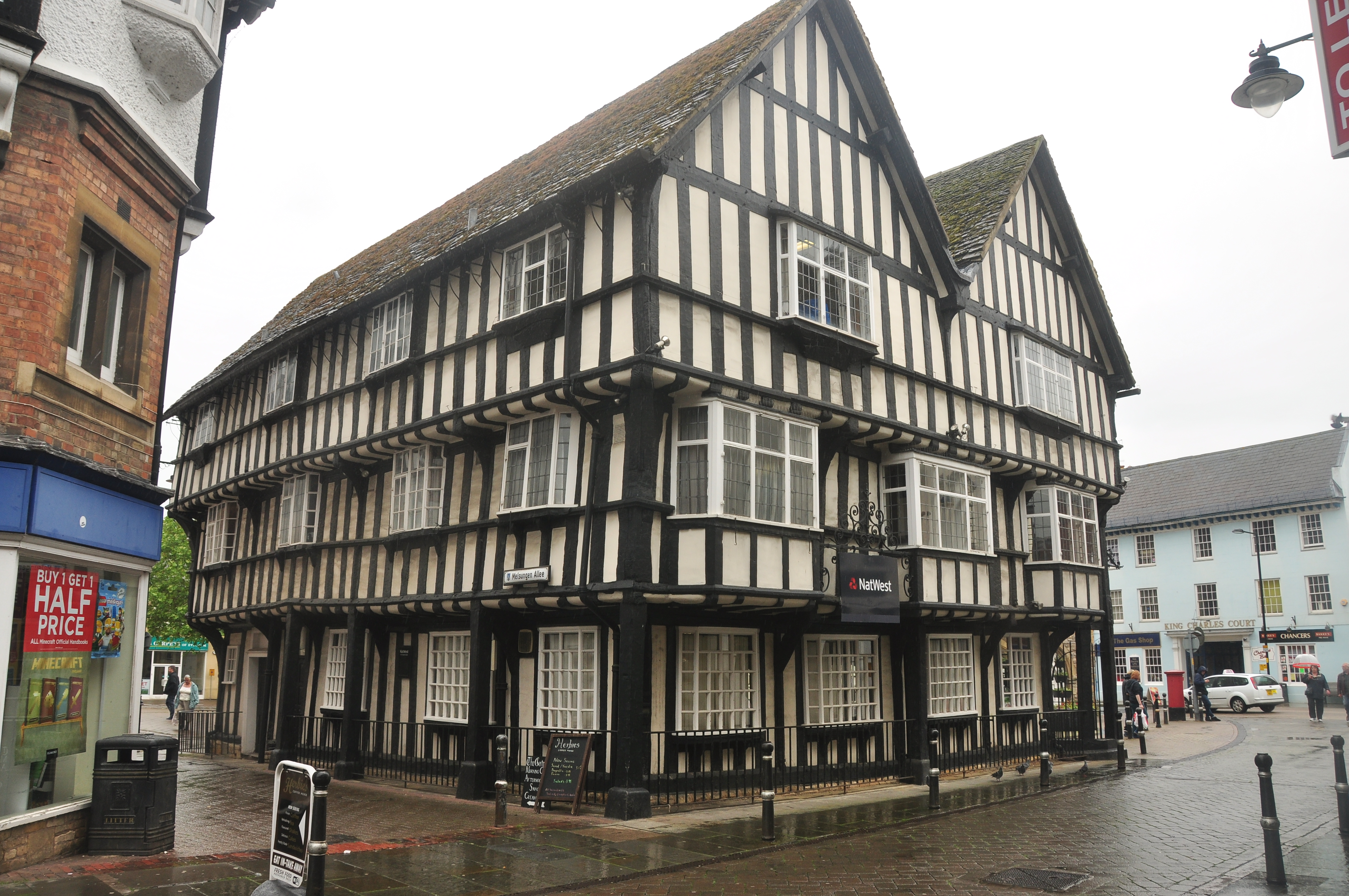
Evesham Town Hall
Evesham Town Hall is a municipal structure in the Market Place in Evesham, Worcestershire, England. The town hall, which was the headquarters of Evesham...

River Isbourne
The River Isbourne is 14 mile (22 km) long tributary of the River Avon which flows through Gloucestershire and Worcestershire in the Midlands of England...
Nearby Amenities
Located within 500m of 52.087931,-1.9490479Have you been to Crown Meadow?
Leave your review of Crown Meadow below (or comments, questions and feedback).