Ewelme
Settlement in Oxfordshire South Oxfordshire
England
Ewelme

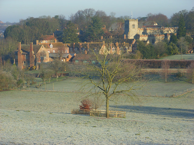
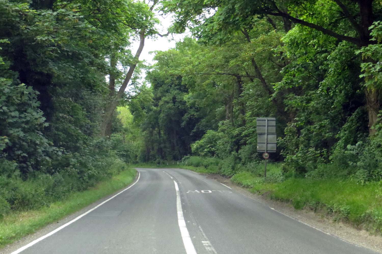
Ewelme is a picturesque village located in the county of Oxfordshire, England. Situated about 14 miles southeast of the city of Oxford, it is nestled in the foothills of the Chiltern Hills, an Area of Outstanding Natural Beauty. With a population of around 400 residents, Ewelme boasts a rich history and is known for its charming architecture and idyllic countryside setting.
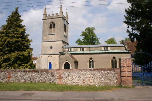
One of the village's most notable landmarks is Ewelme Parish Church, which dates back to the 15th century. The church is renowned for its stunning medieval wall paintings and the ornate tombs of the De La Pole family, including that of Alice, Duchess of Suffolk, who founded the Ewelme Almshouses in the 15th century. These almshouses, still in use today, provide accommodation for elderly residents.
Ewelme also features a historic primary school, founded in 1437 and believed to be the oldest functioning school building in England. The school is set within beautiful grounds, complete with a medieval cloister and a functioning dovecote.
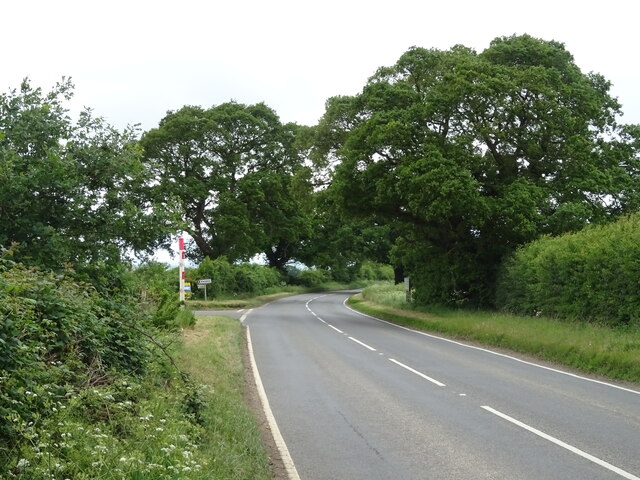
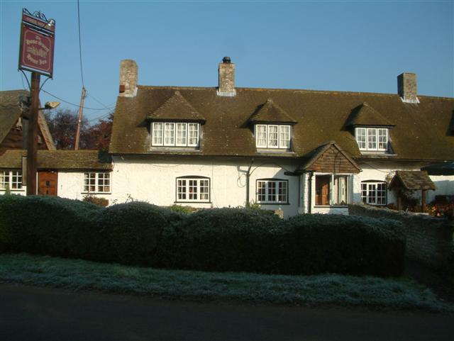
In addition to its historical landmarks, Ewelme offers a range of amenities for residents and visitors. The village is home to a local pub, a village shop, and a tearoom, providing a warm and welcoming atmosphere. The surrounding countryside provides ample opportunities for outdoor activities such as walking, cycling, and horse riding.
With its rich history, stunning architecture, and beautiful countryside, Ewelme is a charming village that offers a tranquil and picturesque escape from the hustle and bustle of city life.
If you have any feedback on the listing, please let us know in the comments section below.
Ewelme Images
Images are sourced within 2km of 51.61893/-1.070959 or Grid Reference SU6491. Thanks to Geograph Open Source API. All images are credited.


Ewelme is located at Grid Ref: SU6491 (Lat: 51.61893, Lng: -1.070959)
Administrative County: Oxfordshire
District: South Oxfordshire
Police Authority: Thames Valley
What 3 Words
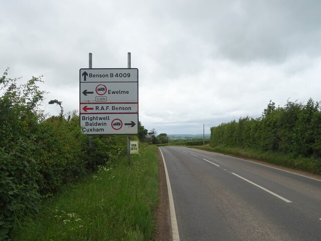
///occur.bonnet.oppose. Near Benson, Oxfordshire
Nearby Locations
Related Wikis
Ewelme
Ewelme () is a village and civil parish in the Chiltern Hills in South Oxfordshire, 2.5 miles (4 km) north-east of the market town of Wallingford. The...
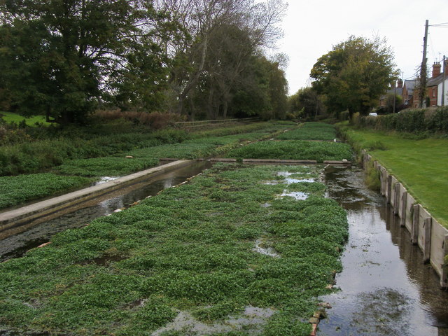
Ewelme Watercress Beds
Ewelme Watercress Beds is a 2.6-hectare (6.4-acre) Local Nature Reserve in Ewelme in Oxfordshire. It is owned and managed by the Chiltern Society.A stream...
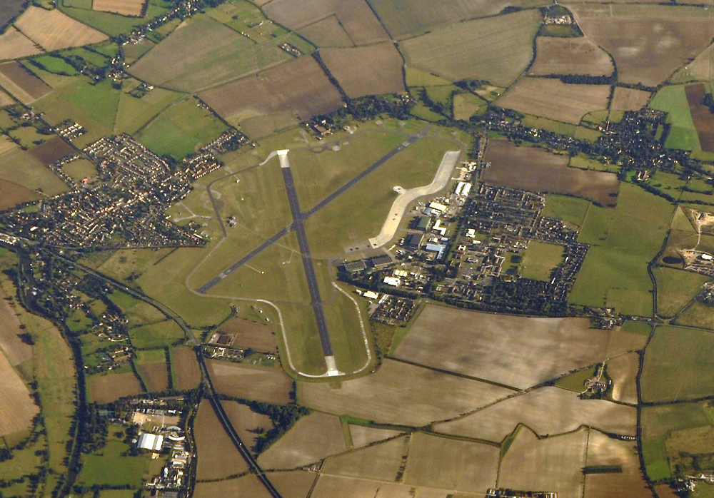
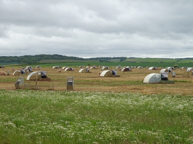
RAF Benson
Royal Air Force Benson or RAF Benson (IATA: BEX, ICAO: EGUB) is a Royal Air Force (RAF) station located at Benson, near Wallingford, in South Oxfordshire...

Benson Veteran Cycle Museum
Benson Veteran Cycle Museum is a private museum of veteran cycles in the village of Benson near Wallingford in Oxfordshire, England.The museum has over...
Roke
Roke is a hamlet in South Oxfordshire, about 3 miles (4.8 km) north of Wallingford. It has a sixteenth-century public house, the Home Sweet Home. It is...
Benson, Oxfordshire
Benson is a village and civil parish in South Oxfordshire, England. The 2011 Census gave the parish population as 4,754. It lies about a mile and a half...

A4130 road
The A4130 is a British A road which runs from a junction with the A404 at Burchetts Green (Maidenhead), Berkshire to the A417 at Rowstock in Oxfordshire...
A4074 road
The A4074 is a British A road from the Reading suburb of Caversham to the Heyford Hill roundabout on the Oxford Ring Road.The road starts from a junction...
Nearby Amenities
Located within 500m of 51.61893,-1.070959Have you been to Ewelme?
Leave your review of Ewelme below (or comments, questions and feedback).