Ellingham

Civil Parish in Northumberland

England

Ellingham

Binsal Hill Seen across Priest's Dean.
Binsal Hill Credit: Richard Webb

Ellingham is a civil parish located in the county of Northumberland, England. Situated in the northeastern part of the country, it is nestled within the picturesque landscape of the Northumberland National Park. The parish covers an area of approximately 36 square kilometers and is home to a population of around 500 residents.

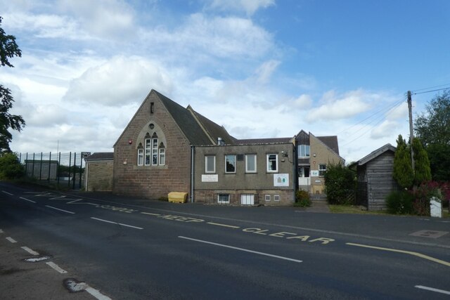
The village of Ellingham serves as the main settlement within the parish. It is a charming and idyllic rural community, with a rich history dating back centuries. The village is characterized by its traditional stone-built cottages and historic buildings, including the Grade I listed St. Maurice's Church, which dates back to the 12th century.

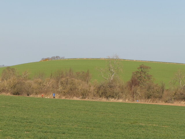
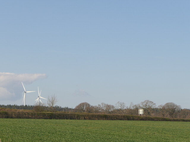
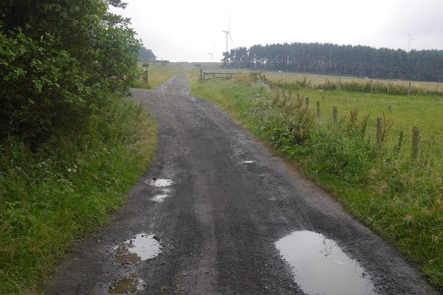
The surrounding countryside is a haven for nature lovers and outdoor enthusiasts. The parish is blessed with breathtaking natural beauty, with rolling hills, meandering rivers, and lush green fields. It offers numerous opportunities for walking, hiking, and exploring the great outdoors. The nearby Northumberland National Park provides even more options for outdoor recreation, with its vast expanses of moorland, forests, and hills.

Despite its rural setting, Ellingham is conveniently located within easy reach of nearby towns and cities. The market town of Alnwick is just a short drive away, offering a range of amenities and services, including shops, restaurants, and schools.

In conclusion, Ellingham is a delightful civil parish in Northumberland, boasting a charming village, stunning landscapes, and a close-knit community. It is an ideal destination for those seeking a peaceful and picturesque retreat in the heart of the English countryside.

If you have any feedback on the listing, please let us know in the comments section below.
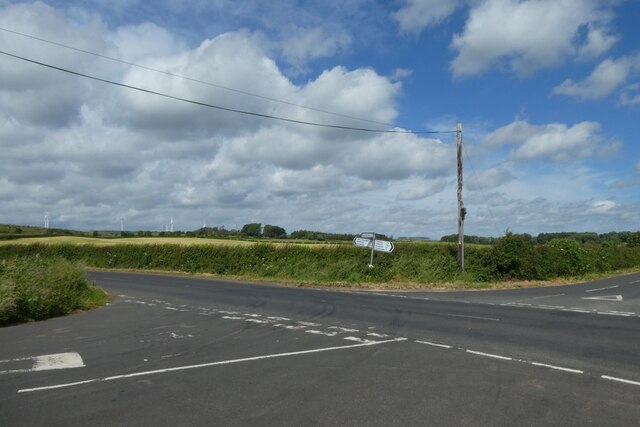
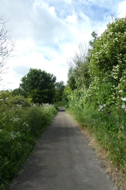
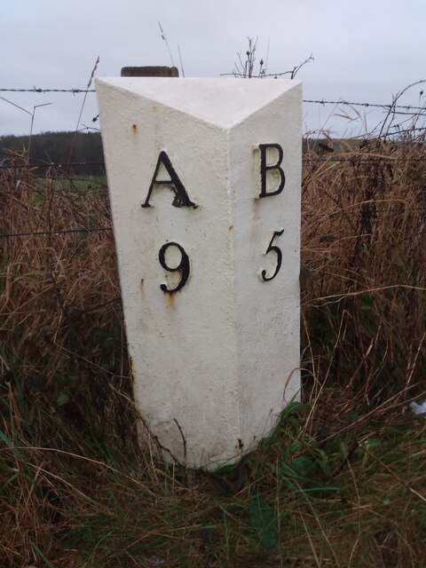
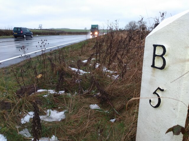
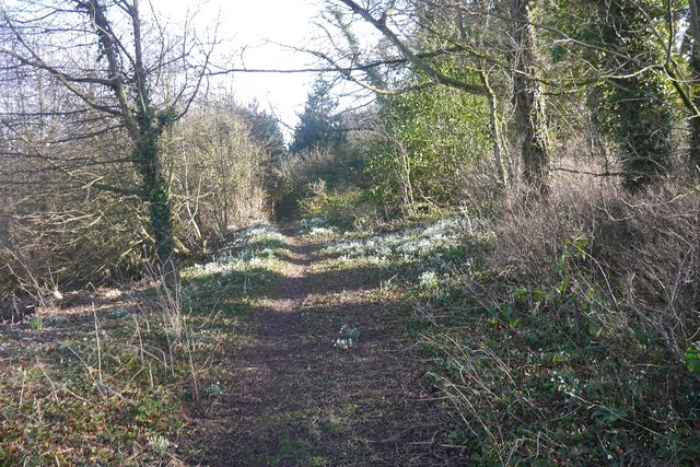
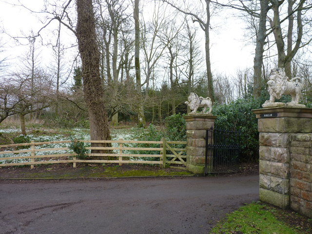
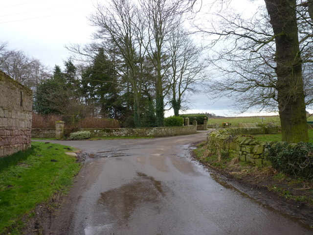
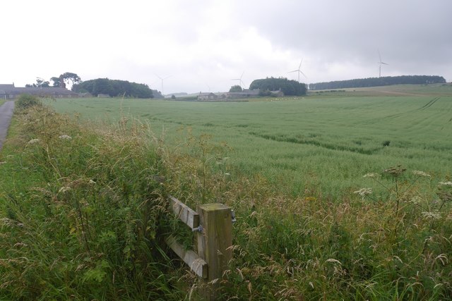
Ellingham Images

Images are sourced within 2km of 55.517597/-1.750104 or Grid Reference NU1524. Thanks to Geograph Open Source API. All images are credited.

Binsal Hill Seen across Priest's Dean.
Binsal Hill
Seen across Priest's Dean.
A field across the A1 View from near Priest's Dean towards the A1.
A field across the A1
View from near Priest's Dean towards the A1.
Ellingham Primary School Looking towards the Church of England Primary School in the village.
Ellingham Primary School
Looking towards the Church of England Primary School in the village.
Road to Ellingham Looking along the road heading north to Ellingham from the road between Preston Tower and the A1.
Road to Ellingham
Looking along the road heading north to Ellingham from the road between Preston Tower and the A1.
Crossroads south of Ellingham Ahead is to the A1, right to Ellingham, far right to Preston Tower and left to Tynely.
Crossroads south of Ellingham
Ahead is to the A1, right to Ellingham, far right to Preston Tower and left to Tynely.
Bridleway near the A1 This path runs to meet the A1 near North Charlton where there is an underbridge.
Bridleway near the A1
This path runs to meet the A1 near North Charlton where there is an underbridge.
Former location of Old Milepost by the former A1, Brownieside, Eglingham parish Former location of cast iron post by the UC road (was A1), in parish of Eglingham (Alnwick District), Brownieside, on grass verge, on East side of road. AB bevel iron casting, erected by the Cow-causey & Buckton-Burn turnpike trust in the 19th century. 

Inscription once read:-
: A / 7 : : B / 7(½) :
(To Alnwick and Belford)

Northumberland HER.
HER number: N16856 <span class="nowrap"><a title="https://www.heritagegateway.org.uk/Gateway/Results_Single.aspx?uid=N16856&resourceID=110" rel="nofollow ugc noopener" href="https://www.heritagegateway.org.uk/Gateway/Results_Single.aspx?uid=N16856&resourceID=110">Link</a><img style="margin-left:2px;" alt="External link" title="External link - shift click to open in new window" src="https://s1.geograph.org.uk/img/external.png" width="10" height="10"/></span>

Milestone Society National ID: NB_ANBF07
Former location of Old Milepost by the former A1, Brownieside, Eglingham parish
Former location of cast iron post by the UC road (was A1), in parish of Eglingham (Alnwick District), Brownieside, on grass verge, on East side of road. AB bevel iron casting, erected by the Cow-causey & Buckton-Burn turnpike trust in the 19th century. Inscription once read:- : A / 7 : : B / 7(½) : (To Alnwick and Belford) Northumberland HER. HER number: N16856 LinkExternal link Milestone Society National ID: NB_ANBF07
Old Milepost by the A1, west of Ellingham Cast iron post by the A1, in parish of Adderstone with Lucker (Berwick upon Tweed District), East of Commonflat and West of Ellingham, 200m South of Newstead Road End, East of lay-by opposite, on grass verge back to wire fence, on Northeast side of road. AB bevel iron casting, erected by the Cow-causey & Buckton-Burn turnpike trust in the 19th century. 

Inscription reads:-
: A / 9 : : B / 5 :
(To Alnwick and Belford)

Grade II listed.
List Entry Number: 1206313 <span class="nowrap"><a title="https://historicengland.org.uk/listing/the-list/list-entry/1206313" rel="nofollow ugc noopener" href="https://historicengland.org.uk/listing/the-list/list-entry/1206313">Link</a><img style="margin-left:2px;" alt="External link" title="External link - shift click to open in new window" src="https://s1.geograph.org.uk/img/external.png" width="10" height="10"/></span>

Milestone Society National ID: NB_ANBF09
Old Milepost by the A1, west of Ellingham
Cast iron post by the A1, in parish of Adderstone with Lucker (Berwick upon Tweed District), East of Commonflat and West of Ellingham, 200m South of Newstead Road End, East of lay-by opposite, on grass verge back to wire fence, on Northeast side of road. AB bevel iron casting, erected by the Cow-causey & Buckton-Burn turnpike trust in the 19th century. Inscription reads:- : A / 9 : : B / 5 : (To Alnwick and Belford) Grade II listed. List Entry Number: 1206313 LinkExternal link Milestone Society National ID: NB_ANBF09
Woodland path, Ellingham Running from the church car park which is surrounded by snowdrops.
Woodland path, Ellingham
Running from the church car park which is surrounded by snowdrops.
Woodland, Ellingham Beneath the church, the woods here have lots of snowdrops.
Woodland, Ellingham
Beneath the church, the woods here have lots of snowdrops.
Burn, Ellingham On its way to the Long Nanny drain, the burn passes under a footbridge beneath Ellingham church.
Burn, Ellingham
On its way to the Long Nanny drain, the burn passes under a footbridge beneath Ellingham church.
Track leading to Newham Hagg Subgle track road with grass in the middle.
Track leading to Newham Hagg
Subgle track road with grass in the middle.
Lions guarding snowdrops Entrance gate to Harelaw, a country house near Ellingham.
Lions guarding snowdrops
Entrance gate to Harelaw, a country house near Ellingham.
Entrance to Ellingham Home Farm At the east end of the village.
Entrance to Ellingham Home Farm
At the east end of the village.
Road, Wandylaw Heading along the edge of arable land towards Wandylaw Dean.
Road, Wandylaw
Heading along the edge of arable land towards Wandylaw Dean.
Oats, Wandylaw
Oats, Wandylaw
Road, Wandylaw Heading for Wandylaw Moor, now home to turbines.
Road, Wandylaw
Heading for Wandylaw Moor, now home to turbines.
Show me another place!

Ellingham is located at Grid Ref: NU1524 (Lat: 55.517597, Lng: -1.750104)

Unitary Authority: Northumberland

Police Authority: Northumbria

What 3 Words

///takeover.painting.fidelity. Near Ellingham, Northumberland

Related Wikis

Brownieside

Brownieside is a hamlet in Northumberland, in England. It is situated between Alnwick and Berwick-upon-Tweed, on the A1 a short distance to the north of...

Ellingham, Northumberland

Ellingham is a civil parish in Northumberland, England. The population taken at the 2001 Census was 282, increasing slightly to 288 at the 2011 Census...

North Charlton

North Charlton is a hamlet and former civil parish, now in the parish of Eglingham, in Northumberland, England. It is situated between Alnwick and Berwick...

Preston Tower, Northumberland

Preston Tower is a fourteenth-century pele tower in Preston, Northumberland, England built in 1392. The tower is now a private museum. == References... ==

Nearby Amenities

Located within 500m of 55.517597,-1.750104
Dogberry Plantation
Place: locality
Lat/Long: 55.5172009/-1.7508608
Power: pole
Lat/Long: 55.5202067/-1.7508315
Power: pole
Lat/Long: 55.5181324/-1.7569599
Power: pole
Lat/Long: 55.5203798/-1.7497986
Power: pole
Lat/Long: 55.5180924/-1.7523263
Power: pole
Lat/Long: 55.5190457/-1.7521025
Power: pole
Lat/Long: 55.5178865/-1.7557529
Power: pole
Lat/Long: 55.5205602/-1.7487701
Power: pole
Lat/Long: 55.5176406/-1.754525
Power: pole
Lat/Long: 55.5200274/-1.751892
Power: pole
Lat/Long: 55.5200529/-1.7517787
Power: pole
Lat/Long: 55.5174042/-1.753318
Power: pole
Lat/Long: 55.5171677/-1.7521319
Power: pole
Lat/Long: 55.5162385/-1.751904
Material: wood
Power: pole
Lat/Long: 55.5218402/-1.7512559
Power: pole
Lat/Long: 55.5209098/-1.7516086
Power: pole
Lat/Long: 55.5132891/-1.7512111
Power: pole
Lat/Long: 55.5203564/-1.7453293
Power: pole
Lat/Long: 55.5140403/-1.7514037
Power: pole
Lat/Long: 55.5156188/-1.7517607
Power: pole
Lat/Long: 55.5148033/-1.7515699
Parking
Access: yes
Fee: no
Parking: layby
Lat/Long: 55.5201997/-1.7477686
Bus Stop
Bench: yes
Bus: yes
Public Transport: platform
Shelter: yes
Lat/Long: 55.5184507/-1.7456163
Bus: yes
Bus Bay: right
Public Transport: stop_position
Lat/Long: 55.518331/-1.7457002
Bus Stop
Bench: no
Bus: yes
Naptan AtcoCode: 3100U160250
Naptan NaptanCode: nldampdg
Public Transport: platform
Shelter: no
Lat/Long: 55.5192088/-1.7467378
The data included in this document is from www.openstreetmap.org. The data is made available under ODbL.

Have you been to Ellingham?

Leave your review of Ellingham below (or comments, questions and feedback).