Dogberry Plantation

Wood, Forest in Northumberland

England

Dogberry Plantation

Narrow Road off the A1
Narrow Road off the A1 Credit: David Dixon

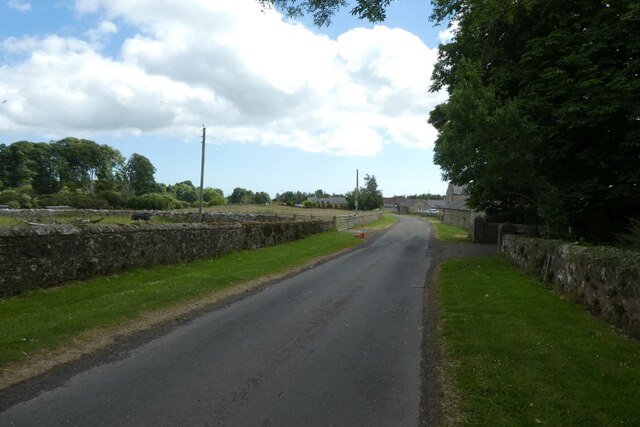
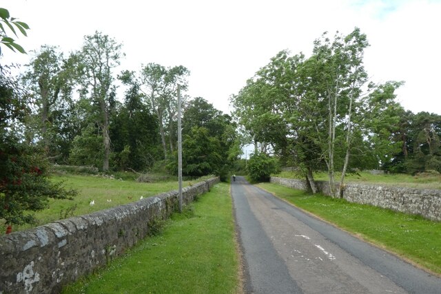
Dogberry Plantation is a picturesque woodland estate located in Northumberland, a county in the northeast of England. Nestled amidst the stunning natural beauty of the region, the plantation covers a vast area of woodland and forest.

The plantation is predominantly composed of native deciduous trees, such as oak, beech, and ash, which provide a lush green canopy throughout the year. The woodland floor is adorned with a diverse range of wildflowers, creating a vibrant and colorful display during the spring and summer seasons.

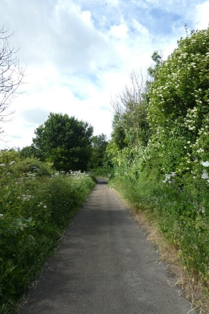
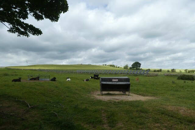
As visitors traverse through the plantation, they are greeted by a network of well-maintained walking trails that wind their way through the enchanting woodland. These trails offer a chance to explore the natural wonders of the plantation, providing glimpses of wildlife such as deer, foxes, and a myriad of bird species that call this place their home.

The tranquil atmosphere of Dogberry Plantation makes it an ideal destination for nature lovers and outdoor enthusiasts. It offers a perfect escape from the hustle and bustle of city life, allowing visitors to immerse themselves in the serenity and tranquility of the natural surroundings.

Moreover, the plantation also serves as an important habitat for various rare and endangered species, contributing to the preservation of biodiversity in the region. Conservation efforts are in place to protect and sustain the natural ecosystem of the woodland, ensuring its longevity for future generations to enjoy.

In conclusion, Dogberry Plantation in Northumberland is a captivating woodland estate that showcases the beauty of nature in its purest form. With its diverse flora and fauna, well-maintained trails, and commitment to conservation, it offers a truly remarkable experience for anyone seeking solace amidst the woodlands.

If you have any feedback on the listing, please let us know in the comments section below.

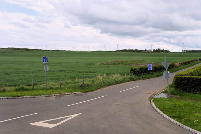
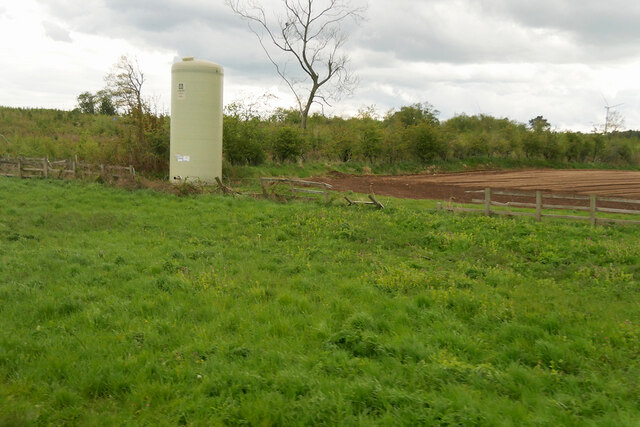
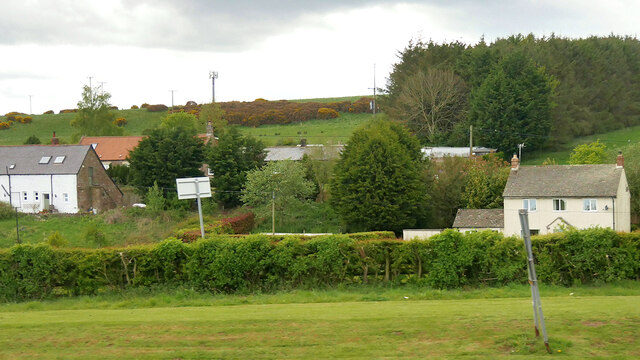
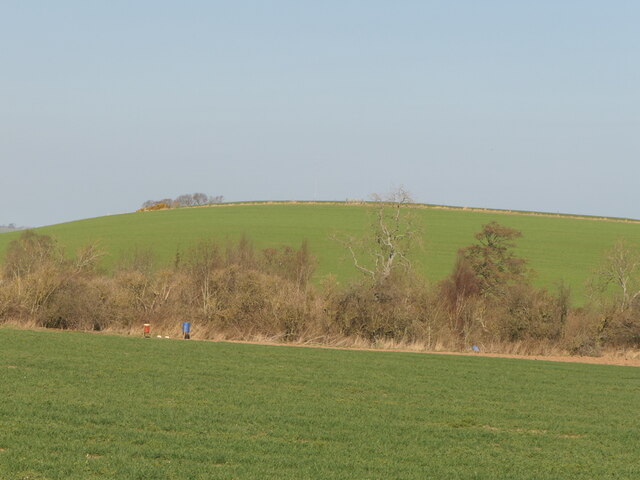
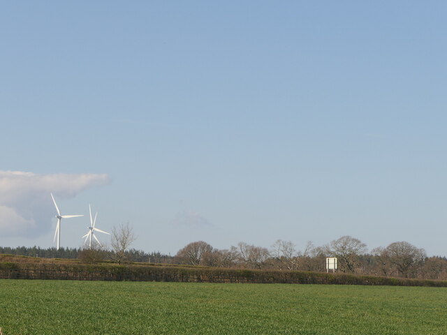
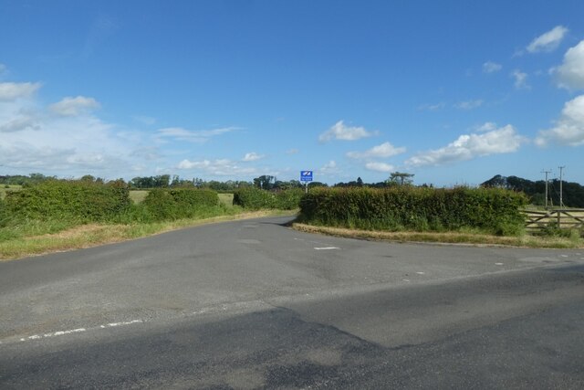
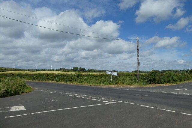
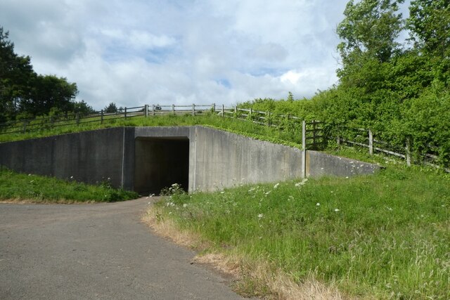
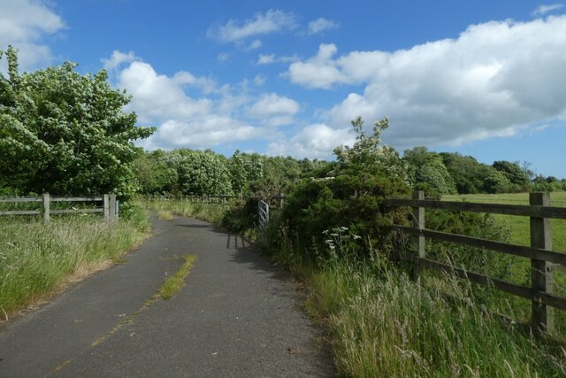
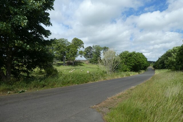
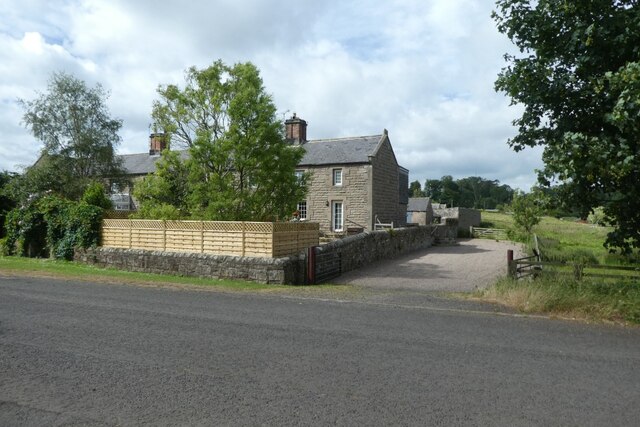
Dogberry Plantation Images

Images are sourced within 2km of 55.515755/-1.7491144 or Grid Reference NU1524. Thanks to Geograph Open Source API. All images are credited.

Narrow Road off the A1
Storage Tank in a Field near Ellingham Yara Chafer storage tank for liquid fertiliser.
Storage Tank in a Field near Ellingham
Yara Chafer storage tank for liquid fertiliser.
Fields to the west of the A1 near  Brownieside
Fields to the west of the A1 near Brownieside
Houses at Brownieside Brownieside is a hamlet located on the A1 about 7 miles north of Alnwick.
Houses at Brownieside
Brownieside is a hamlet located on the A1 about 7 miles north of Alnwick.
Binsal Hill Seen across Priest's Dean.
Binsal Hill
Seen across Priest's Dean.
A field across the A1 View from near Priest's Dean towards the A1.
A field across the A1
View from near Priest's Dean towards the A1.
Ellingham Primary School Looking towards the Church of England Primary School in the village.
Ellingham Primary School
Looking towards the Church of England Primary School in the village.
Road to Ellingham Looking along the road heading north to Ellingham from the road between Preston Tower and the A1.
Road to Ellingham
Looking along the road heading north to Ellingham from the road between Preston Tower and the A1.
Crossroads south of Ellingham Ahead is to the A1, right to Ellingham, far right to Preston Tower and left to Tynely.
Crossroads south of Ellingham
Ahead is to the A1, right to Ellingham, far right to Preston Tower and left to Tynely.
Bridleway near the A1 This path runs to meet the A1 near North Charlton where there is an underbridge.
Bridleway near the A1
This path runs to meet the A1 near North Charlton where there is an underbridge.
A1 underbridge Looking towards a tunnel which passes underneath the A1 to reach North Charlton.
A1 underbridge
Looking towards a tunnel which passes underneath the A1 to reach North Charlton.
Bridleway north towards Ellingham Looking along the path heading north from beside the A1 where there is an underpass.
Bridleway north towards Ellingham
Looking along the path heading north from beside the A1 where there is an underpass.
Charlton Bridge Looking along the road beside the A1 heading north from North Charlton.
Charlton Bridge
Looking along the road beside the A1 heading north from North Charlton.
Cottages in North Charlton Looking across the road from the track to the A1 underpass.
Cottages in North Charlton
Looking across the road from the track to the A1 underpass.
North Charlton Looking along the road leading towards Chillingham.
North Charlton
Looking along the road leading towards Chillingham.
Road through North Charlton Looking through the village which is situated beside the A1.
Road through North Charlton
Looking through the village which is situated beside the A1.
Road west from North Charlton Leading towards Chillingham.
Road west from North Charlton
Leading towards Chillingham.
Cattle near North Charlton Looking across farmland to the west of the village.
Cattle near North Charlton
Looking across farmland to the west of the village.
Show me another place!

Dogberry Plantation is located at Grid Ref: NU1524 (Lat: 55.515755, Lng: -1.7491144)

Unitary Authority: Northumberland

Police Authority: Northumbria

What 3 Words

///reboot.intend.mealtime. Near Ellingham, Northumberland

Related Wikis

Brownieside

Brownieside is a hamlet in Northumberland, in England. It is situated between Alnwick and Berwick-upon-Tweed, on the A1 a short distance to the north of...

Ellingham, Northumberland

Ellingham is a civil parish in Northumberland, England. The population taken at the 2001 Census was 282, increasing slightly to 288 at the 2011 Census...
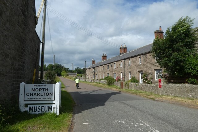
North Charlton

North Charlton is a hamlet and former civil parish, now in the parish of Eglingham, in Northumberland, England. It is situated between Alnwick and Berwick...

Preston Tower, Northumberland

Preston Tower is a fourteenth-century pele tower in Preston, Northumberland, England built in 1392. The tower is now a private museum. == References... ==

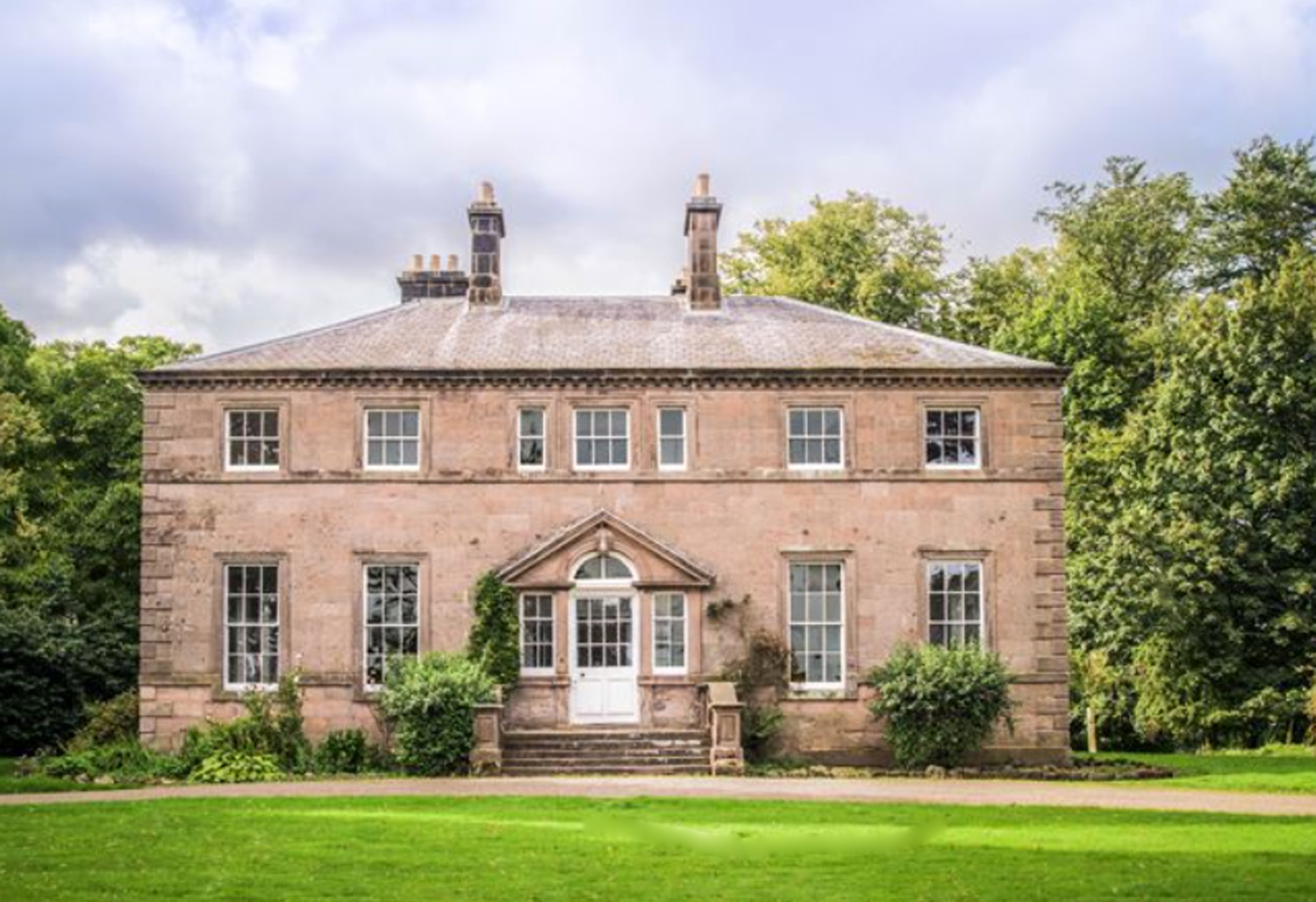
Charlton Hall, Northumberland

Charlton Hall near Ellingham, Northumberland is a building of historical significance and is listed Grade II* on the English Heritage Register. It was...

Chathill

Chathill is a hamlet and former civil parish, now in the parish of Ellingham, in Northumberland, England. It is about 9 miles (14 km) north of Alnwick...

Chathill railway station

Chathill is a railway station on the East Coast Main Line, which runs between London King's Cross and Edinburgh Waverley. The station, situated 46 miles...

Newham railway station

Newham railway station was a railway station that served the hamlet of Newham Hall, Northumberland, England from 1851 to 1950 on the East Coast Main Line...

Nearby Amenities

Located within 500m of 55.515755,-1.7491144
Dogberry Plantation
Place: locality
Lat/Long: 55.5172009/-1.7508608
Power: pole
Lat/Long: 55.5180924/-1.7523263
Power: pole
Lat/Long: 55.5190457/-1.7521025
Power: pole
Lat/Long: 55.5178865/-1.7557529
Power: pole
Lat/Long: 55.5176406/-1.754525
Power: pole
Lat/Long: 55.5174042/-1.753318
Power: pole
Lat/Long: 55.5171677/-1.7521319
Power: pole
Lat/Long: 55.5162385/-1.751904
Power: pole
Lat/Long: 55.5115076/-1.7508593
Power: pole
Lat/Long: 55.5132891/-1.7512111
Power: pole
Lat/Long: 55.5140403/-1.7514037
Power: pole
Lat/Long: 55.5156188/-1.7517607
Power: pole
Lat/Long: 55.5148033/-1.7515699
Power: pole
Lat/Long: 55.5123329/-1.7510315
Bus Stop
Bench: yes
Bus: yes
Public Transport: platform
Shelter: yes
Lat/Long: 55.5184507/-1.7456163
Bus: yes
Bus Bay: right
Public Transport: stop_position
Lat/Long: 55.518331/-1.7457002
Bus Stop
Bench: no
Bus: yes
Naptan AtcoCode: 3100U160250
Naptan NaptanCode: nldampdg
Public Transport: platform
Shelter: no
Lat/Long: 55.5192088/-1.7467378
The data included in this document is from www.openstreetmap.org. The data is made available under ODbL.

Have you been to Dogberry Plantation?

Leave your review of Dogberry Plantation below (or comments, questions and feedback).