Longdown Plantation

Wood, Forest in Gloucestershire Cotswold

England

Longdown Plantation

Old Milestone, B4425 nr Aldsworth About ½ a mile West of the village. In parish of ALDSWORTH (COTSWOLD District), East of Aldsworth. Bibury marker, erected by the Bibury & Dancy's Fancy turnpike trust in the 19th century.

Inscription once read: Burford 7 / Cirencester 10
Lost benchmark representing 428.5 ft ASL (in 1900).

Milestone Society National ID: GL_CIBF10
Old Milestone, B4425 nr Aldsworth Credit: Mr Red

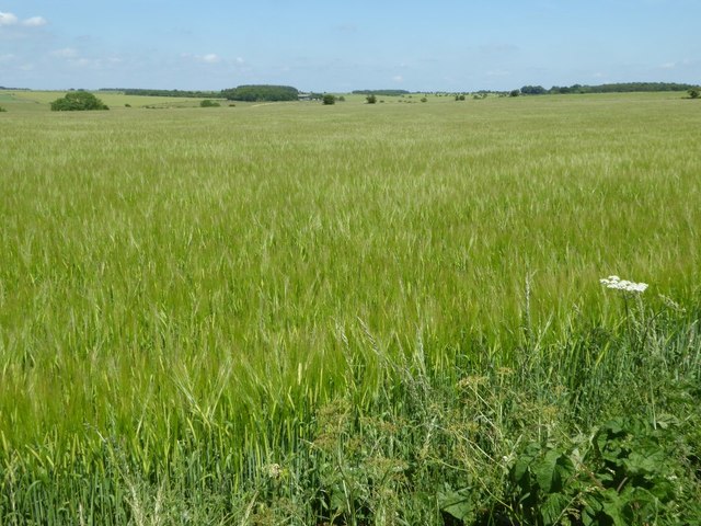
Longdown Plantation is a picturesque woodland located in Gloucestershire, England. Covering an area of approximately 500 acres, it is renowned for its dense vegetation and diverse range of plant species. The plantation is situated within the larger Forest of Dean, a historic woodland that has been designated as an Area of Outstanding Natural Beauty.

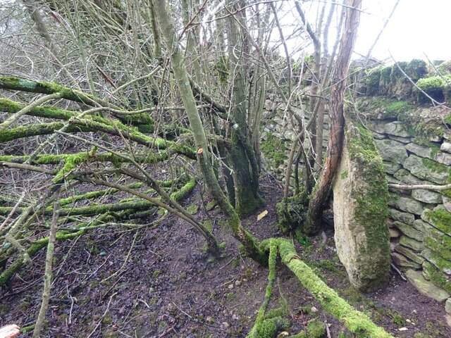
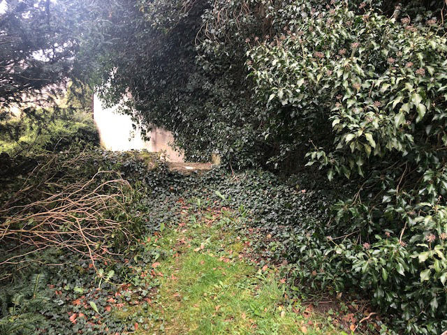
The woodland of Longdown Plantation is dominated by a variety of tree species, including oak, beech, and birch. These towering trees provide a dense canopy, creating a shaded and cool environment throughout the plantation. Underneath the canopy, a rich undergrowth thrives, with ferns, mosses, and wildflowers carpeting the forest floor.

The plantation is home to a plethora of wildlife, making it an ideal destination for nature enthusiasts. Visitors may spot deer, foxes, and a wide array of bird species, including woodpeckers and owls. The tranquil atmosphere and abundance of natural resources in Longdown Plantation also attract a diverse range of insects and invertebrates.

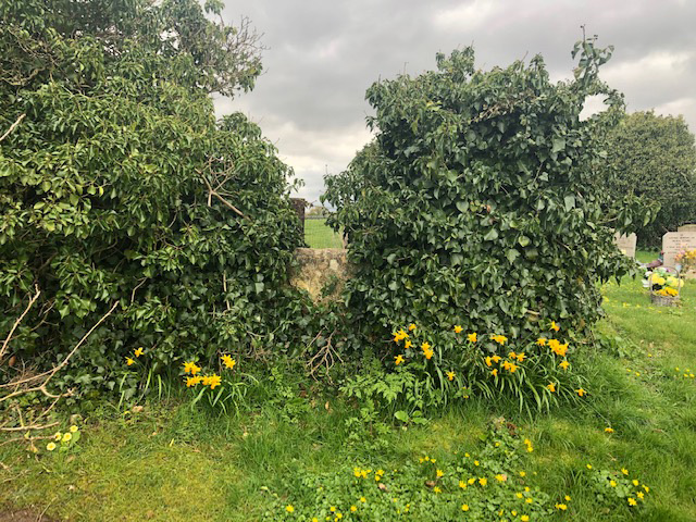
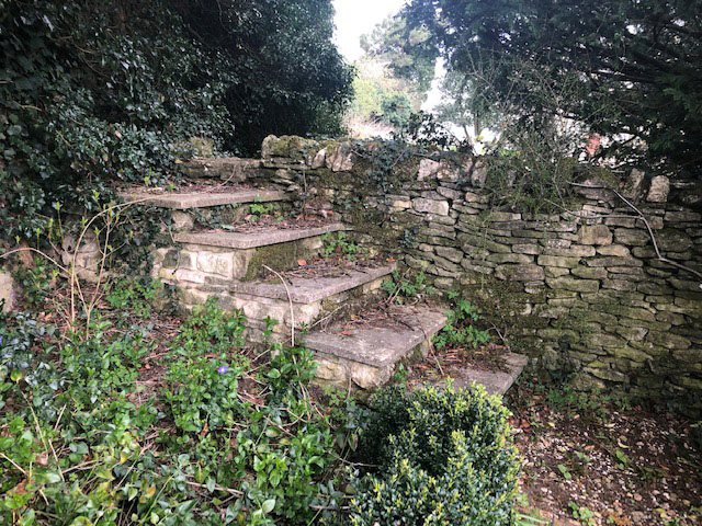
In addition to its natural beauty, Longdown Plantation offers several recreational activities for visitors. There are well-maintained footpaths and trails that allow visitors to explore the woodland at their leisure. The plantation also offers designated picnic areas where visitors can relax and enjoy the serene surroundings.

Overall, Longdown Plantation is a captivating woodland that showcases the beauty and biodiversity of Gloucestershire's natural landscape. Whether it's for a leisurely stroll, wildlife spotting, or simply enjoying a peaceful picnic, this plantation offers a memorable experience for nature lovers of all ages.

If you have any feedback on the listing, please let us know in the comments section below.

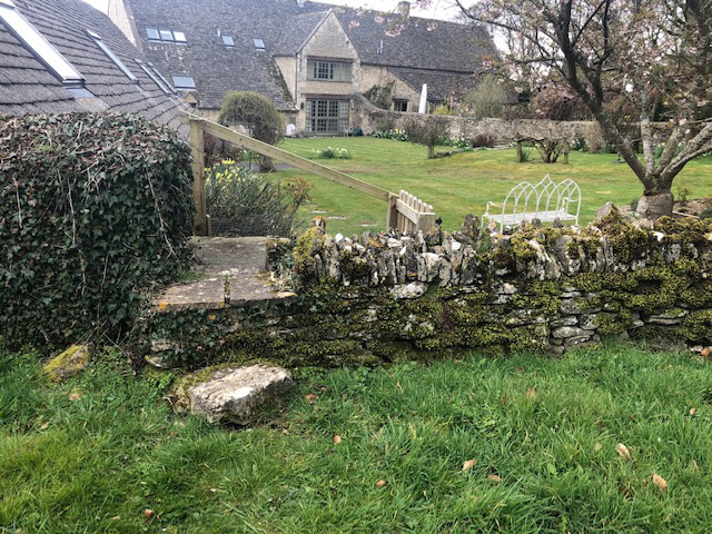
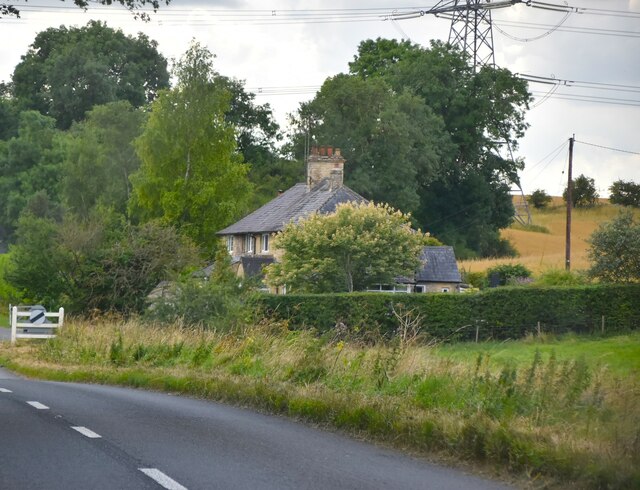
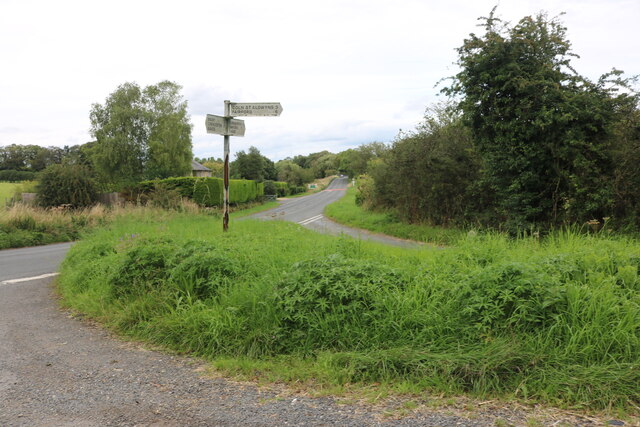
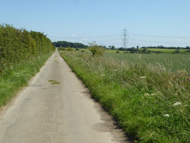
Longdown Plantation Images

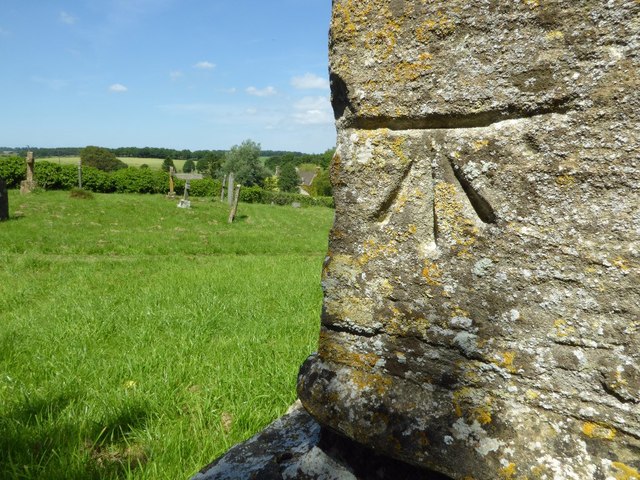
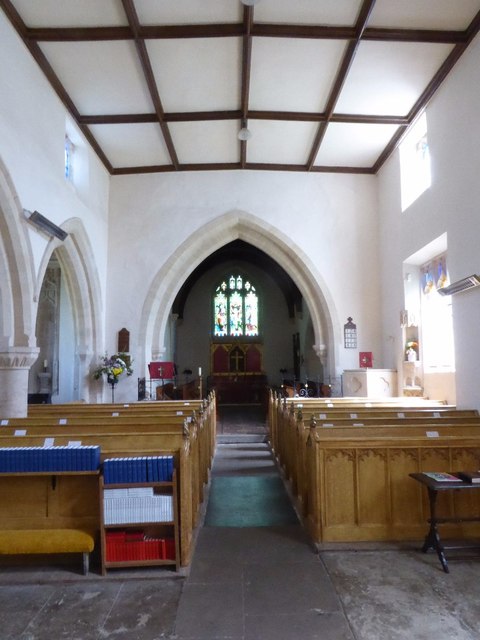
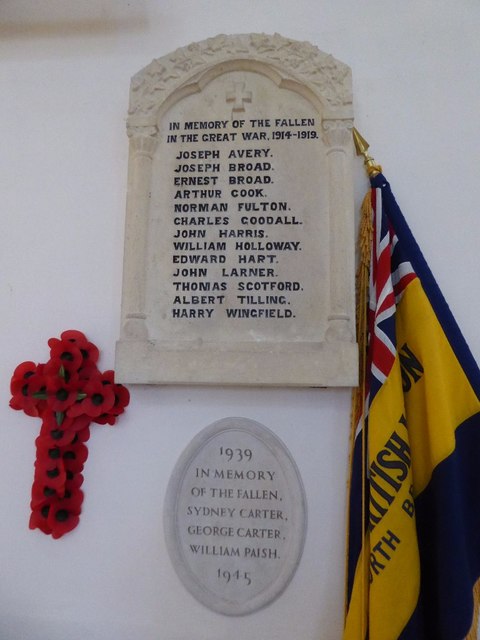
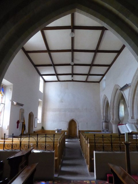
Images are sourced within 2km of 51.79995/-1.7702192 or Grid Reference SP1511. Thanks to Geograph Open Source API. All images are credited.

Old Milestone, B4425 nr Aldsworth About ½ a mile West of the village. In parish of ALDSWORTH (COTSWOLD District), East of Aldsworth. Bibury marker, erected by the Bibury & Dancy's Fancy turnpike trust in the 19th century.

Inscription once read: Burford 7 / Cirencester 10
Lost benchmark representing 428.5 ft ASL (in 1900).

Milestone Society National ID: GL_CIBF10
Old Milestone, B4425 nr Aldsworth
About ½ a mile West of the village. In parish of ALDSWORTH (COTSWOLD District), East of Aldsworth. Bibury marker, erected by the Bibury & Dancy's Fancy turnpike trust in the 19th century. Inscription once read: Burford 7 / Cirencester 10 Lost benchmark representing 428.5 ft ASL (in 1900). Milestone Society National ID: GL_CIBF10
Stone Stile, Aldsworth Not on a registered footpath, in the churchyard wall of St Bartholomew's.
Stone Stile, Aldsworth
Not on a registered footpath, in the churchyard wall of St Bartholomew's.
Stone Stile, Aldsworth A private stile to the church storeyard from the graveyard. St Bartholomew's. Looking towards the church, the view SE back is <a href="https://www.geograph.org.uk/photo/7299535">SP1509 : Stone Stile, Aldsworth</a>.
Stone Stile, Aldsworth
A private stile to the church storeyard from the graveyard. St Bartholomew's. Looking towards the church, the view SE back is SP1509 : Stone Stile, Aldsworth.
Stone Stile, Aldsworth A private stile to the church storeyard from the graveyard. St Bartholomew's. Looking SE, the view NW towards the church is <a href="https://www.geograph.org.uk/photo/7299530">SP1509 : Stone Stile, Aldsworth</a>.
Stone Stile, Aldsworth
A private stile to the church storeyard from the graveyard. St Bartholomew's. Looking SE, the view NW towards the church is SP1509 : Stone Stile, Aldsworth.
Stone Stile, Aldsworth A private stile from the large divided house made to look like a Tithe Barn, and St Bartholomews.
Stone Stile, Aldsworth
A private stile from the large divided house made to look like a Tithe Barn, and St Bartholomews.
New Cottage
New Cottage
Junction on the B4425, Aldsworth
Road to Ladbarrow Farm A no through road from the village of Aldsworth giving access to Ladbarrow Farm.
Road to Ladbarrow Farm
A no through road from the village of Aldsworth giving access to Ladbarrow Farm.
A large barley field A large barley field to the east of Aldsworth.
A large barley field
A large barley field to the east of Aldsworth.
Aldsworth church Aldsworth church is dedicated to St Bartholomew.  This Grade I listed church dates from the late 12th and 15th centuries, it was restored in 1842-3 and again in the late 1870s.  For more information see: <span class="nowrap"><a title="https://historicengland.org.uk/listing/the-list/list-entry/1340781" rel="nofollow ugc noopener" href="https://historicengland.org.uk/listing/the-list/list-entry/1340781">Link</a><img style="margin-left:2px;" alt="External link" title="External link - shift click to open in new window" src="https://s1.geograph.org.uk/img/external.png" width="10" height="10"/></span>
Aldsworth church
Aldsworth church is dedicated to St Bartholomew. This Grade I listed church dates from the late 12th and 15th centuries, it was restored in 1842-3 and again in the late 1870s. For more information see: LinkExternal link
Aldsworth church Aldsworth church is dedicated to St Bartholomew, here it is viewed from the north-east.  This Grade I listed church dates from the late 12th and 15th centuries, it was restored in 1842-3 and again in the late 1870s.  For more information see: <span class="nowrap"><a title="https://historicengland.org.uk/listing/the-list/list-entry/1340781" rel="nofollow ugc noopener" href="https://historicengland.org.uk/listing/the-list/list-entry/1340781">Link</a><img style="margin-left:2px;" alt="External link" title="External link - shift click to open in new window" src="https://s1.geograph.org.uk/img/external.png" width="10" height="10"/></span>
Aldsworth church
Aldsworth church is dedicated to St Bartholomew, here it is viewed from the north-east. This Grade I listed church dates from the late 12th and 15th centuries, it was restored in 1842-3 and again in the late 1870s. For more information see: LinkExternal link
Benchmark on Aldsworth church An OS benchmark on the base of the tower of St Bartholomew's church, Aldsworth.
Benchmark on Aldsworth church
An OS benchmark on the base of the tower of St Bartholomew's church, Aldsworth.
Interior of Aldsworth church View along the nave of St Bartholomew's church, Aldsworth.
Interior of Aldsworth church
View along the nave of St Bartholomew's church, Aldsworth.
war memorial, Aldsworth church War memorial on the north wall of St Bartholomew's church, Aldsworth.
war memorial, Aldsworth church
War memorial on the north wall of St Bartholomew's church, Aldsworth.
Nave of Aldsworth church View of the nave of St Bartholomew's church from the chancel.
Nave of Aldsworth church
View of the nave of St Bartholomew's church from the chancel.
Font in Aldsworth church A Regency Gothick font in St Bartholomew's church, Aldsworth.
Font in Aldsworth church
A Regency Gothick font in St Bartholomew's church, Aldsworth.
Show me another place!

Longdown Plantation is located at Grid Ref: SP1511 (Lat: 51.79995, Lng: -1.7702192)

Administrative County: Gloucestershire

District: Cotswold

Police Authority: Gloucestershire

What 3 Words

///glades.treble.propelled. Near Northleach, Gloucestershire

Related Wikis

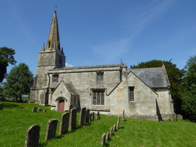
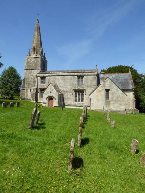
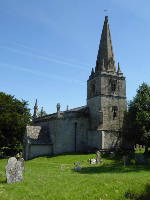
Church of St Bartholomew, Aldsworth

The Anglican Church of St Bartholomew at Aldsworth in the Cotswold District of Gloucestershire, England was built in the late 12th century. It is a grade...

Lodge Park and Sherborne Estate

Lodge Park was built as a grandstand in the Sherborne Estate near the villages of Sherborne, Aldsworth and Northleach in Gloucestershire, England. The...

Aldsworth

Aldsworth is a village and civil parish in the Cotswold district of Gloucestershire, about ten miles north-east of Cirencester. In 2010 its population...

RAF Windrush

Royal Air Force Windrush, or more simply RAF Windrush, is a former Royal Air Force satellite station near Windrush, Gloucestershire, England. It was opened...

Windrush, Gloucestershire

Windrush is a village and civil parish in Gloucestershire, England, approximately five miles southeast of Northleach. It lies in the Cotswolds on the River...

Eastington, Cotswold

Eastington is a hamlet and former civil parish, now in the parish of Northleach with Eastington, in the Cotswold district, in the English county of Gloucestershire...

Sherborne House, Gloucestershire

Sherborne House is a large house in the village of Sherborne, Gloucestershire, England. It is a former country house that has been converted into flats...

Sherborne, Gloucestershire

Sherborne is a village and civil parish almost 3.5 miles (5.6 km) east of Northleach in Gloucestershire. Sherborne is a linear village, extending more...

Have you been to Longdown Plantation?

Leave your review of Longdown Plantation below (or comments, questions and feedback).