Molly Carr Wood

Wood, Forest in Yorkshire

England

Molly Carr Wood

St Lucius, Farnley Tyas The church was completed in 1840.
St Lucius, Farnley Tyas Credit: John Illingworth

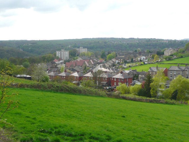
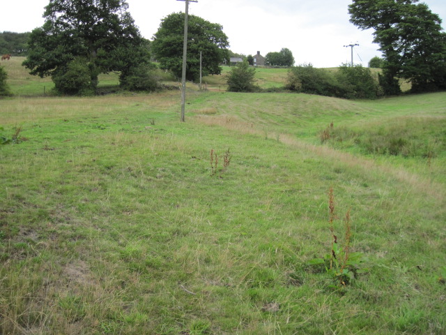
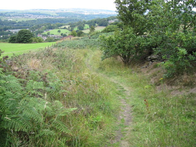
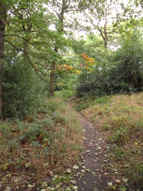
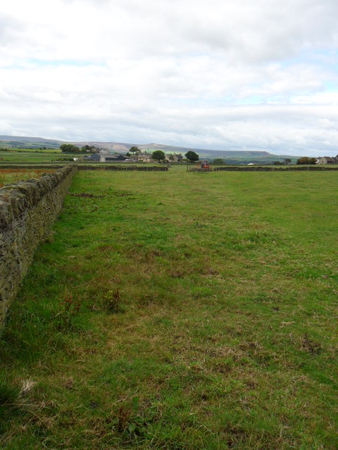
Molly Carr Wood is a magnificent forest located in Yorkshire, England. This enchanting woodland spans across a vast area, providing visitors with a serene and picturesque escape from the hustle and bustle of daily life. With its diverse range of flora and fauna, Molly Carr Wood offers a unique opportunity to immerse oneself in nature's beauty.

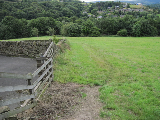
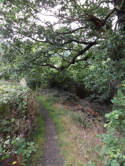
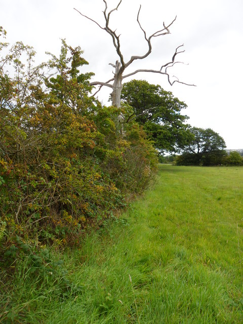
The forest is characterized by its dense canopy of towering trees, predominantly consisting of oak, beech, and birch. These majestic giants create a tranquil atmosphere, allowing the gentle sound of rustling leaves and birdsong to fill the air. The forest floor is adorned with a rich carpet of moss, wildflowers, and ferns, adding to its ethereal charm.

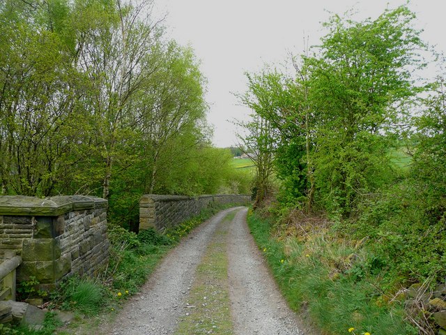
Molly Carr Wood is home to a plethora of wildlife, making it a paradise for nature enthusiasts. Visitors may catch a glimpse of various bird species, including woodpeckers, owls, and tits. The forest also provides a habitat for mammals such as deer, foxes, and badgers. Explorers can follow the network of well-maintained trails that wind through the wood, providing ample opportunity for peaceful walks, birdwatching, or even picnicking in designated areas.

This woodland gem is not only a sanctuary for wildlife but also a valuable resource for the local community. It plays a crucial role in carbon sequestration and maintaining ecological balance in the region. Efforts are made to preserve its natural beauty, with the establishment of sustainable management practices and education programs.

Molly Carr Wood, Yorkshire, is a haven for those seeking solace in nature's embrace. Its breathtaking scenery, diverse ecosystem, and commitment to conservation make it a must-visit destination for anyone looking to connect with the great outdoors.

If you have any feedback on the listing, please let us know in the comments section below.

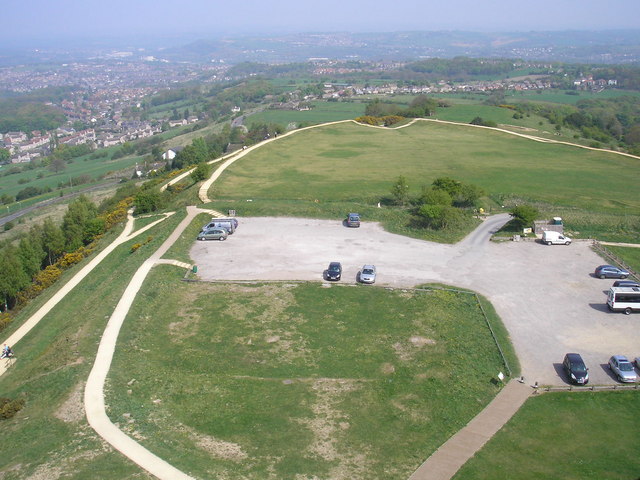
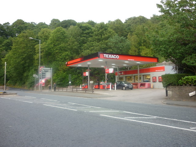
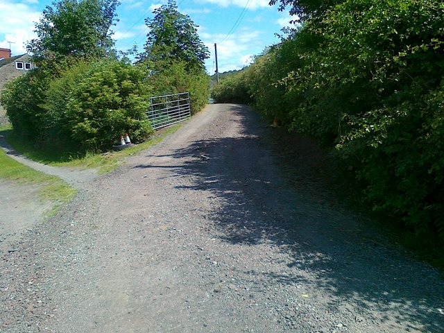
Molly Carr Wood Images

Images are sourced within 2km of 53.619126/-1.7604398 or Grid Reference SE1513. Thanks to Geograph Open Source API. All images are credited.

St Lucius, Farnley Tyas The church was completed in 1840.
St Lucius, Farnley Tyas
The church was completed in 1840.
Cliffe Lane A walled lane out of Farnley Tyas.
Cliffe Lane
A walled lane out of Farnley Tyas.
View from Lady House Lane, Almondbury The Berry Brow primary and infants school can be seen in the distance, still in its 19C Huddersfield Board Elementary School buildings. In the middle, the houses are along Newsome Road South.
View from Lady House Lane, Almondbury
The Berry Brow primary and infants school can be seen in the distance, still in its 19C Huddersfield Board Elementary School buildings. In the middle, the houses are along Newsome Road South.
Cold Hill Lane, Almondbury The wall on the left surrounds an area that once contained a circular reservoir belonging to Huddersfield County Borough (maybe the structure is still in there).
Cold Hill Lane, Almondbury
The wall on the left surrounds an area that once contained a circular reservoir belonging to Huddersfield County Borough (maybe the structure is still in there).
Stirley Farm, Almondbury This farm looks disused, or at least the house is boarded up.
Stirley Farm, Almondbury
This farm looks disused, or at least the house is boarded up.
Direction indicator on Jubilee Tower Taken on one of the occasions when the tower was open to the public.
Direction indicator on Jubilee Tower
Taken on one of the occasions when the tower was open to the public.
Castle Hill car park Taken from the top of Jubilee Tower when it was open to the public.
Castle Hill car park
Taken from the top of Jubilee Tower when it was open to the public.
A Texaco garage on Huddersfield Road
Access road to Lower Common Farm
Across the fields towards Newsome Road
Footpath near High Royd Farm
Footpath From Hall Ing Lane
Footpath on Ludhill Lane
Lumb Dike near Almondbury Lumb Dike from footbridge, North-East of Molly Carr Wood.
Lumb Dike near Almondbury
Lumb Dike from footbridge, North-East of Molly Carr Wood.
Footpath, Wheat Royd, Almondbury. Footpath leading from Wheat Royd to Lumb Lane.  A grand old oak tree overhangs the path just here.
Footpath, Wheat Royd, Almondbury.
Footpath leading from Wheat Royd to Lumb Lane. A grand old oak tree overhangs the path just here.
Autumn hedgerow near Molly Carr Wood Field-edge path just north of Molly Carr Wood.
Autumn hedgerow near Molly Carr Wood
Field-edge path just north of Molly Carr Wood.
Molly Carr Wood Footpath on the western edge of Molly Carr Wood.
Molly Carr Wood
Footpath on the western edge of Molly Carr Wood.
Farmland just south-west of Castle Hill Looking south-west along field path towards Castle Houses.
Farmland just south-west of Castle Hill
Looking south-west along field path towards Castle Houses.
Show me another place!

Molly Carr Wood is located at Grid Ref: SE1513 (Lat: 53.619126, Lng: -1.7604398)

Division: West Riding

Unitary Authority: Kirklees

Police Authority: West Yorkshire

What 3 Words

///shiny.quit.nets. Near Huddersfield, West Yorkshire

Related Wikis

Castle Hill, Huddersfield

Castle Hill is a scheduled ancient monument in Almondbury overlooking Huddersfield in the Metropolitan Borough of Kirklees, West Yorkshire, England. The...

Farnley Tyas

Farnley Tyas is a village in the parish of Kirkburton, in the Kirklees district, in the county of West Yorkshire, England 3 miles (4.8 km) south east of...

Hall Bower

Hall Bower is a small hamlet lying 2 miles (3.5 km) south of Huddersfield, West Yorkshire, England.It sits in the shadow of Castle Hill, just above the...

South Pennines

The South Pennines is a region of moorland and hill country in northern England lying towards the southern end of the Pennines. In the west it includes...

Berry Brow

Berry Brow is a semi-rural village in West Yorkshire, England, situated about 2 miles (3 km) south of Huddersfield. It lies on the eastern bank of the...

Longley, Huddersfield

Longley is a small district in Huddersfield, West Yorkshire, England between Newsome and Lowerhouses. The area is mainly made up of woodland and a 9-hole...

King James's School, Almondbury

King James's School is a coeducational secondary school located in Almondbury in the English county of West Yorkshire. == History == King James's Grammar...

Lowerhouses

Lowerhouses is a residential district in the town of Huddersfield, Kirklees, West Yorkshire, England. Lowerhouses is a residential district situated in...

Nearby Amenities

Located within 500m of 53.619126,-1.7604398
Power: pole
Lat/Long: 53.6160212/-1.7637338
Power: pole
Lat/Long: 53.6169387/-1.7615519
Power: pole
Lat/Long: 53.6179129/-1.7592159
Power: pole
Lat/Long: 53.6189099/-1.7568749
Power: pole
Lat/Long: 53.6199444/-1.7543937
Barrier: stile
Lat/Long: 53.6204502/-1.7639926
Power: pole
Lat/Long: 53.6213232/-1.7550501
Power: pole
Lat/Long: 53.6209936/-1.7560621
Power: pole
Lat/Long: 53.6206666/-1.7570585
Power: pole
Lat/Long: 53.6204463/-1.7583339
Power: pole
Lat/Long: 53.6202665/-1.7593639
Power: pole
Lat/Long: 53.6201019/-1.7603549
Power: pole
Lat/Long: 53.6199117/-1.7614841
Power: pole
Lat/Long: 53.6197248/-1.7626482
Power: pole
Lat/Long: 53.6198064/-1.7638222
Power: pole
Lat/Long: 53.6199051/-1.7650291
Power: pole
Lat/Long: 53.6200198/-1.7662702
Power: pole
Lat/Long: 53.620065/-1.7669024
Power: pole
Lat/Long: 53.6198387/-1.767408
Power: pole
Lat/Long: 53.6226576/-1.7631957
Barrier: stile
Lat/Long: 53.6183978/-1.7610773
Barrier: stile
Lat/Long: 53.6216592/-1.7649116
Barrier: stile
Step Count: 2
Stile: stepover
Lat/Long: 53.6210248/-1.7538329
Barrier: stile
Step Count: 2
Stile: stepover
Lat/Long: 53.6209894/-1.7537815
Bench
Backrest: yes
Lat/Long: 53.6206602/-1.7549385
Ford: yes
Lat/Long: 53.6203332/-1.7558767
Ford: yes
Lat/Long: 53.6182852/-1.7553133
Parking
Capacity Disabled: 3
Lat/Long: 53.6214514/-1.7599632
Parking
Capacity Disabled: 3
Parking: street_side
Lat/Long: 53.6209206/-1.7623528
Barrier: stile
Step Count: 2
Stile: stepover
Lat/Long: 53.6213087/-1.7542696
Ford: yes
Lat/Long: 53.6175506/-1.7559792
Barrier: stile
Step Count: 1
Stile: stepover
Lat/Long: 53.6209385/-1.7626895
The data included in this document is from www.openstreetmap.org. The data is made available under ODbL.

Have you been to Molly Carr Wood?

Leave your review of Molly Carr Wood below (or comments, questions and feedback).