Broadwaters

Settlement in Worcestershire Wyre Forest

England

Broadwaters

Cookley Village Hall & Sports Club (1), Lea Lane, Cookley This £945,000 project was officially opened on the 5th February 2011. Over 300 people attended the opening. The facility replaced the old Parish Hall. The building comprises a sports club lounge, two meeting rooms with computers and internet, a kitchen, a snooker room and a 200 metre square hall, with a stage for performances.

<a href="https://www.geograph.org.uk/photo/2337173">SO8480 : Cookley Village Hall & Sports Club (2), Lea Lane, Cookley</a>.
Cookley Village Hall & Sports Club (1), Lea Lane, Cookley Credit: P L Chadwick

Broadwaters is a small residential area located in the county of Worcestershire, England. Situated approximately 1 mile north of Kidderminster town center, it forms part of the Wyre Forest District. The area is primarily a residential district, known for its tranquil surroundings and close proximity to the beautiful countryside of Worcestershire.

Broadwaters is characterized by a mix of housing types, ranging from traditional Victorian houses to modern developments. The area offers a variety of housing options, including detached houses, semi-detached houses, and apartments, catering to a diverse range of residents.

The local amenities in Broadwaters are plentiful, with several shops, supermarkets, and convenience stores within easy reach. The area also benefits from a number of green spaces and parks, providing residents with opportunities for outdoor activities and relaxation.

Transport links in Broadwaters are excellent, with easy access to major road networks such as the A449 and A456. Kidderminster train station, located nearby, provides regular services to Birmingham, Worcester, and other major cities in the region.

Broadwaters is served by a number of primary and secondary schools, providing excellent educational opportunities for families. The area also boasts a strong sense of community, with various local organizations and clubs offering a range of activities and events for residents to enjoy.

Overall, Broadwaters offers a peaceful and picturesque residential setting, making it an attractive place to live for those seeking a suburban lifestyle within close proximity to both natural beauty and urban amenities.

If you have any feedback on the listing, please let us know in the comments section below.
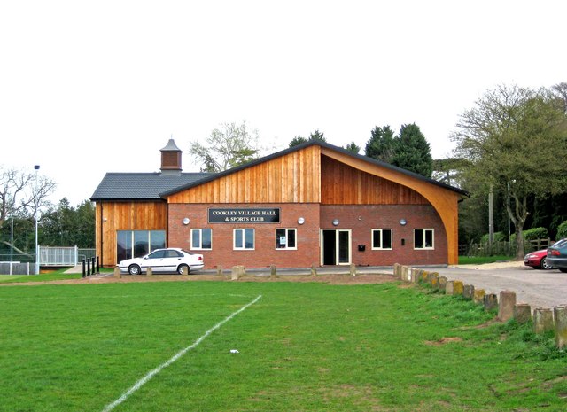
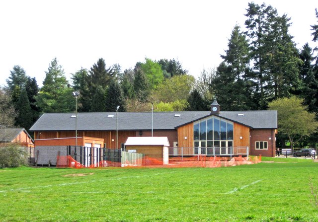
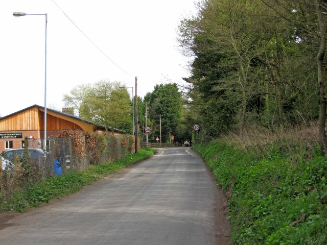
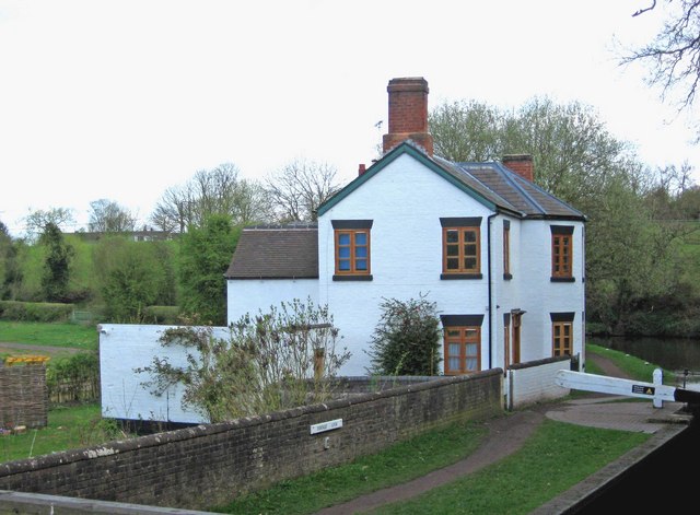
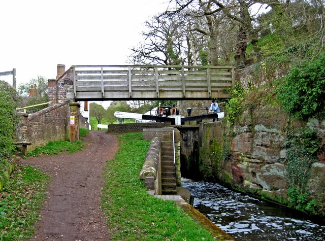
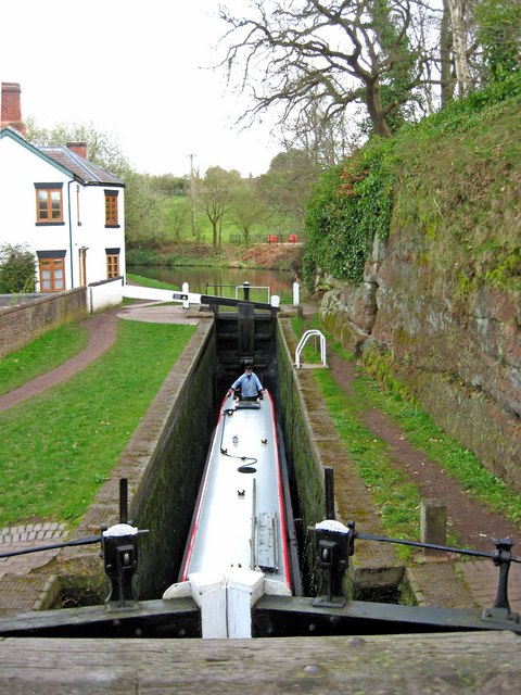
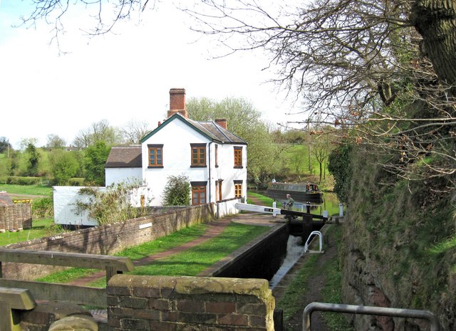
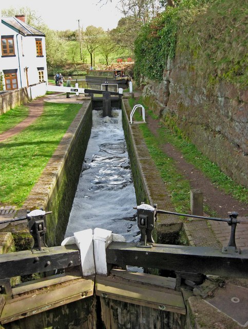
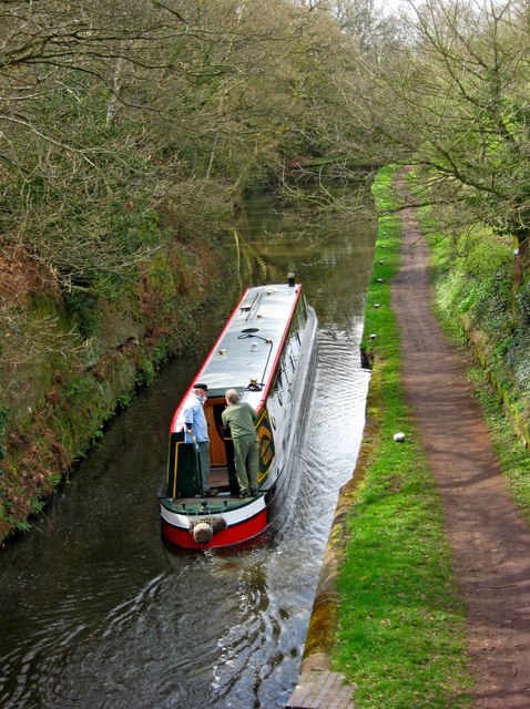
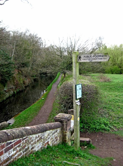
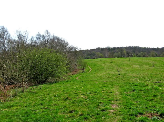
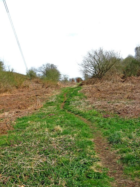
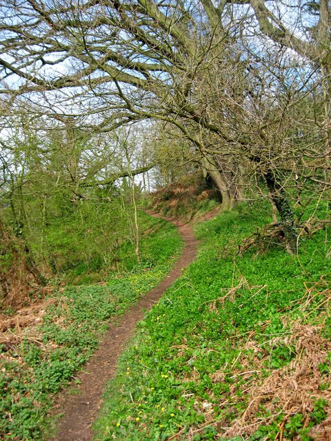
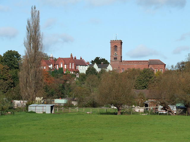
Broadwaters Images

Images are sourced within 2km of 52.401637/-2.234994 or Grid Reference SO8478. Thanks to Geograph Open Source API. All images are credited.

Cookley Village Hall & Sports Club (1), Lea Lane, Cookley This £945,000 project was officially opened on the 5th February 2011. Over 300 people attended the opening. The facility replaced the old Parish Hall. The building comprises a sports club lounge, two meeting rooms with computers and internet, a kitchen, a snooker room and a 200 metre square hall, with a stage for performances.

<a href="https://www.geograph.org.uk/photo/2337173">SO8480 : Cookley Village Hall & Sports Club (2), Lea Lane, Cookley</a>.
Cookley Village Hall & Sports Club (1), Lea Lane, Cookley
This £945,000 project was officially opened on the 5th February 2011. Over 300 people attended the opening. The facility replaced the old Parish Hall. The building comprises a sports club lounge, two meeting rooms with computers and internet, a kitchen, a snooker room and a 200 metre square hall, with a stage for performances. SO8480 : Cookley Village Hall & Sports Club (2), Lea Lane, Cookley.
Cookley Village Hall & Sports Club (2), Lea Lane, Cookley Outside the new village hall are various sports facilities, a play area for children, and an area for BMX bikes etc and skateboarding, called the Wheels Area.

<a href="https://www.geograph.org.uk/photo/2337154">SO8480 : Cookley Village Hall & Sports Club (1), Lea Lane, Cookley</a>.
Cookley Village Hall & Sports Club (2), Lea Lane, Cookley
Outside the new village hall are various sports facilities, a play area for children, and an area for BMX bikes etc and skateboarding, called the Wheels Area. SO8480 : Cookley Village Hall & Sports Club (1), Lea Lane, Cookley.
Lea Lane, Cookley At the approach to the village of Cookley. On the left is the new Village Hall.

<a href="https://www.geograph.org.uk/photo/2337154">SO8480 : Cookley Village Hall & Sports Club (1), Lea Lane, Cookley</a>.
Lea Lane, Cookley
At the approach to the village of Cookley. On the left is the new Village Hall. SO8480 : Cookley Village Hall & Sports Club (1), Lea Lane, Cookley.
Former Lock Keeper's Cottage, Debdale Lock, Staffs & Worcs Canal near Cookley In the long ago days of freight being carried on the canal, there would have been a resident lock keeper living here.

A different view:- <a href="https://www.geograph.org.uk/photo/3217505">SO8480 : Former Lock Keeper's Cottage, Debdale Lock, near Cookley</a>.
Former Lock Keeper's Cottage, Debdale Lock, Staffs & Worcs Canal near Cookley
In the long ago days of freight being carried on the canal, there would have been a resident lock keeper living here. A different view:- SO8480 : Former Lock Keeper's Cottage, Debdale Lock, near Cookley.
Debdale Lock, Staffs & Worcs Canal, near Cookley A footpath continues from the bridge up to Cookley Playing Fields. In the other direction it goes to Kingsford Forest Park.
Debdale Lock, Staffs & Worcs Canal, near Cookley
A footpath continues from the bridge up to Cookley Playing Fields. In the other direction it goes to Kingsford Forest Park.
Boat in Debdale Lock, Staffs & Worcs Canal, near Cookley There is a cavern beside this lock, which apparently used to be used as a stables for horses pulling boats along the canal. There is room for about four horses to lie down.
Boat in Debdale Lock, Staffs & Worcs Canal, near Cookley
There is a cavern beside this lock, which apparently used to be used as a stables for horses pulling boats along the canal. There is room for about four horses to lie down.
Plaque at Debdale Bridge (No. 22), Staffs & Worcs Canal, near Cookley The small bridge at Debdale Lock is, not surprisingly, called Debdale Bridge, and numbered 22. Usually these plaques are affixed to the bridge, but this one is attached to the lock wall under the bridge. The style of the plaque would seem to indicate it is probably a replacement, rather than an original.

<a href="https://www.geograph.org.uk/photo/2340638">SO8480 : Debdale Lock, Staffs & Worcs Canal, near Cookley</a>.
Plaque at Debdale Bridge (No. 22), Staffs & Worcs Canal, near Cookley
The small bridge at Debdale Lock is, not surprisingly, called Debdale Bridge, and numbered 22. Usually these plaques are affixed to the bridge, but this one is attached to the lock wall under the bridge. The style of the plaque would seem to indicate it is probably a replacement, rather than an original. SO8480 : Debdale Lock, Staffs & Worcs Canal, near Cookley.
Debdale Lock, Staffs & Worcs Canal, near Cookley A narrowboat can be seen approaching the lock. The former lock keeper's cottage is on the left.

<a href="https://www.geograph.org.uk/photo/2340591">SO8480 : Former Lock Keeper's Cottage, Debdale Lock, Staffs & Worcs Canal near Cookley</a>.
Debdale Lock, Staffs & Worcs Canal, near Cookley
A narrowboat can be seen approaching the lock. The former lock keeper's cottage is on the left. SO8480 : Former Lock Keeper's Cottage, Debdale Lock, Staffs & Worcs Canal near Cookley.
Debdale Lock, Staffs & Worcs Canal, near Cookley Another view of the lock:- <a href="https://www.geograph.org.uk/photo/2340721">SO8480 : Debdale Lock, Staffs & Worcs Canal, near Cookley</a>, and <a href="https://www.geograph.org.uk/photo/2340638">SO8480 : Debdale Lock, Staffs & Worcs Canal, near Cookley</a>.
Debdale Lock, Staffs & Worcs Canal, near Cookley
Narrowboat west of Debdale Lock, Staffs & Worcs Canal, near Cookley The narrowboat has just left Debdale Lock. The canal is particularly narrow at this point, and it wouldn't be much fun meeting another boat around here. Photographed from Debdale Bridge.

<a href="https://www.geograph.org.uk/photo/2340658">SO8480 : Boat in Debdale Lock, Staffs & Worcs Canal, near Cookley</a>.
Narrowboat west of Debdale Lock, Staffs & Worcs Canal, near Cookley
The narrowboat has just left Debdale Lock. The canal is particularly narrow at this point, and it wouldn't be much fun meeting another boat around here. Photographed from Debdale Bridge. SO8480 : Boat in Debdale Lock, Staffs & Worcs Canal, near Cookley.
Signpost by Debdale Bridge, Staffs & Worcs Canal, near Cookley The signpost points across a field, where there is a public footpath to Kingsford Forest Park, about a mile and a half away. Behind the signpost can be seen the canal and towpath.

<a href="https://www.geograph.org.uk/photo/2340826">SO8480 : Footpath across a field, near Cookley</a>.
Signpost by Debdale Bridge, Staffs & Worcs Canal, near Cookley
The signpost points across a field, where there is a public footpath to Kingsford Forest Park, about a mile and a half away. Behind the signpost can be seen the canal and towpath. SO8480 : Footpath across a field, near Cookley.
Footpath across Horseshoe Meadow, near Cookley The footpath goes to the Village Hall and car park, with a branch leading off and descending to Debdale Lock, on the nearby Staffs & Worcs Canal. The meadow, which is part of Cookley Playing Fields, is not treated with chemicals or artificial fertilisers. It supports more than fifty species of wildflowers, grasses and associated wildlife.
Footpath across Horseshoe Meadow, near Cookley
The footpath goes to the Village Hall and car park, with a branch leading off and descending to Debdale Lock, on the nearby Staffs & Worcs Canal. The meadow, which is part of Cookley Playing Fields, is not treated with chemicals or artificial fertilisers. It supports more than fifty species of wildflowers, grasses and associated wildlife.
Notice board, Cookley Playing Fields, Cookley Much of what is still on the board concerns the construction of a "natural play area", work on which was due to start on the 11th June 2009. It is now complete.

<a href="https://www.geograph.org.uk/photo/2341532">SO8480 : Natural Play Area, Cookley Playing Fields, Cookley</a>.
Notice board, Cookley Playing Fields, Cookley
Much of what is still on the board concerns the construction of a "natural play area", work on which was due to start on the 11th June 2009. It is now complete. SO8480 : Natural Play Area, Cookley Playing Fields, Cookley.
Natural Play Area, Cookley Playing Fields, Cookley This is part of the Natural Play Area, on which work started in June 2009.

<a href="https://www.geograph.org.uk/photo/2341513">SO8480 : Notice board, Cookley Playing Fields, Cookley</a>.
Natural Play Area, Cookley Playing Fields, Cookley
This is part of the Natural Play Area, on which work started in June 2009. SO8480 : Notice board, Cookley Playing Fields, Cookley.
Information board at Cookley Playing Fields, Cookley The board gives much information about the many facilities at the site.
Information board at Cookley Playing Fields, Cookley
The board gives much information about the many facilities at the site.
The zig-zag path to the Canalside Terrace, Cookley Playing Fields, Cookley This view is near the start of the zig-zag path, which gently slopes down to the Canalside Terrace. The terrace gives good views of the Staffs & Worcs Canal, and Debdale Lock.
The zig-zag path to the Canalside Terrace, Cookley Playing Fields, Cookley
This view is near the start of the zig-zag path, which gently slopes down to the Canalside Terrace. The terrace gives good views of the Staffs & Worcs Canal, and Debdale Lock.
Public footpath up to Cookley Playing Fields, near Cookley The public footpath alongside the Staffs & Worcs Canal, which commences at Lea Lane, here leaves the canal and climbs up to Cookley Playing Fields. However a footpath does continue alongside the canal for some further distance, and can be used by the public, as it is part of the land owned by the village of Cookley.

<a href="https://www.geograph.org.uk/photo/2342336">SO8380 : Footpath near Staffs & Worcs Canal, near Cookley</a>.

<a href="https://www.geograph.org.uk/photo/2342250">SO8379 : Start of footpath by gate in Lea Lane, near Cookley</a>.
Public footpath up to Cookley Playing Fields, near Cookley
The public footpath alongside the Staffs & Worcs Canal, which commences at Lea Lane, here leaves the canal and climbs up to Cookley Playing Fields. However a footpath does continue alongside the canal for some further distance, and can be used by the public, as it is part of the land owned by the village of Cookley. SO8380 : Footpath near Staffs & Worcs Canal, near Cookley. SO8379 : Start of footpath by gate in Lea Lane, near Cookley.
Footpath near Staffs & Worcs Canal, near Cookley The footpath climbs here, with the canal below and to its left.

<a href="https://www.geograph.org.uk/photo/2342309">SO8380 : Public footpath up to Cookley Playing Fields, near Cookley</a>.
Footpath near Staffs & Worcs Canal, near Cookley
The footpath climbs here, with the canal below and to its left. SO8380 : Public footpath up to Cookley Playing Fields, near Cookley.
Show me another place!

Broadwaters is located at Grid Ref: SO8478 (Lat: 52.401637, Lng: -2.234994)

Administrative County: Worcestershire

District: Wyre Forest

Police Authority: West Mercia

What 3 Words

///dreams.vase.gather. Near Kidderminster, Worcestershire

Related Wikis

Heathfield Knoll School

Heathfield Knoll School and First Steps Day Nursery is a small, independent, non-denominational day school and day nursery in Wolverley, near Kidderminster...

Wyre Forest (UK Parliament constituency)

Wyre Forest is a county constituency represented in the House of Commons of the Parliament of the United Kingdom. It elects one Member of Parliament...
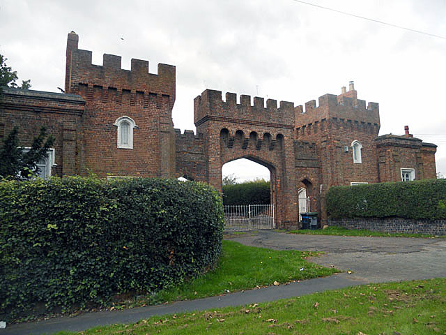
Lea Castle, England

Lea Castle is a ruined Grade II listed Neo Gothic mock castle mansion near Wolverley, England. == History == Lea Castle was built by Edward Knight in 1762...

The Shrubbery, Kidderminster

The Shrubbery is a former military installation in Kidderminster, Worcestershire. It is a Grade II listed building. == History == The building is an early...

Holy Trinity School, Kidderminster

Holy Trinity School is a co-educational free school located in Kidderminster, Worcestershire, England, offering education to children from 4 years up to...

St George's Church, Kidderminster

St George's Church, Kidderminster is a Church of England parish church in Kidderminster, Worcestershire, England. The church is a Grade II* listed building...

Chester Road North Ground, Kidderminster

The Chester Road North Ground, often referred to simply as Chester Road or Kidderminster, is a cricket ground in Kidderminster, Worcestershire, England...

Wolverley

Wolverley is a village; with nearby Cookley (1 mi northeast), it forms a civil parish in the Wyre Forest District of Worcestershire, England. It is 2 miles...

Nearby Amenities

Located within 500m of 52.401637,-2.234994
Mini Roundabout
Direction: clockwise
Source: survey
Lat/Long: 52.3987192/-2.2370107
Bus Stop
Batham Road
Bus: yes
Naptan AtcoCode: 2000G102202
Naptan Bearing: NE
Naptan CommonName: Batham Road
Naptan Crossing: Batham Road
Naptan Indicator: Opp
Naptan NaptanCode: wocdjdmt
Naptan PlusbusZoneRef: KDRMNST
Naptan Street: Highfield Road
Naptan Verified: no
Public Transport: platform
Source: naptan_import
Lat/Long: 52.3988866/-2.2321178
Bus Stop
Sion Hill Middle School
Bench: no
Bin: no
Bus: yes
Lit: yes
Naptan AtcoCode: 2000G108200
Naptan Bearing: S
Naptan CommonName: Sion Hill Middle School
Naptan Indicator: opp
Naptan Landmark: School
Naptan NaptanCode: wocdgjdw
Naptan PlusbusZoneRef: KDRMNST
Naptan Street: Sion Hill
Naptan Verified: no
Public Transport: platform
Shelter: no
Source: naptan_import
Tactile Paving: no
Lat/Long: 52.404071/-2.2381423
Bus Stop
Sion Hill
Bus: yes
Naptan AtcoCode: 2000G108202
Naptan Bearing: NE
Naptan CommonName: Sion Hill
Naptan Crossing: Baskervill Road
Naptan Indicator: Adj
Naptan NaptanCode: wocdgjga
Naptan PlusbusZoneRef: KDRMNST
Naptan Street: Upton Road
Naptan Verified: no
Public Transport: platform
Source: naptan_import
Lat/Long: 52.401956/-2.2392774
Bus Stop
Upton Road
Bus: yes
Naptan AtcoCode: 2000G108298
Naptan Bearing: N
Naptan CommonName: Upton Road
Naptan Indicator: adj
Naptan NaptanCode: wocdgjgd
Naptan PlusbusZoneRef: KDRMNST
Naptan Street: Upton Road
Naptan Verified: no
Public Transport: platform
Source: naptan_import
Lat/Long: 52.4015132/-2.2403921
Sion Hill
Naptan AtcoCode: 2000G198298
Naptan Bearing: E
Naptan BusStopType: CUS
Naptan CommonName: Sion Hill
Naptan Crossing: Usmere Road
Naptan Indicator: opp
Naptan NaptanCode: wocgpdpd
Naptan PlusbusZoneRef: KDRMNST
Naptan Street: Upton Road
Naptan Verified: no
Source: naptan_import
Lat/Long: 52.4006443/-2.2388293
Bus Stop
Sion Hill
Bench: no
Bin: yes
Bus: yes
Lit: yes
Naptan AtcoCode: 2000G502333
Naptan Bearing: NW
Naptan CommonName: Sion Hill
Naptan Indicator: Bottom
Naptan NaptanCode: wocgmjpm
Naptan PlusbusZoneRef: KDRMNST
Naptan Street: Sion Hill
Naptan Verified: no
Public Transport: platform
Shelter: no
Source: naptan_import
Tactile Paving: no
Lat/Long: 52.3996305/-2.2365668
Bus Stop
Stourbridge Road
Bench: no
Bin: no
Bus: yes
Lit: yes
Naptan AtcoCode: 2000G502337
Naptan Bearing: NE
Naptan CommonName: Stourbridge Road
Naptan Indicator: adj
Naptan Landmark: Post Office
Naptan NaptanCode: wocgmjpt
Naptan PlusbusZoneRef: KDRMNST
Naptan Street: Stourbridge Road
Naptan Verified: no
Public Transport: platform
Shelter: no
Source: naptan_import
Tactile Paving: no
Lat/Long: 52.3997779/-2.2360027
Bus Stop
Stourbridge Road
Bus: yes
Naptan AtcoCode: 2000G502338
Naptan Bearing: NE
Naptan CommonName: Stourbridge Road
Naptan Indicator: opp
Naptan Landmark: Footbridge
Naptan NaptanCode: wocgmjpw
Naptan PlusbusZoneRef: KDRMNST
Naptan Street: Stourbridge Road
Naptan Verified: no
Public Transport: platform
Source: naptan_import
Lat/Long: 52.400465/-2.2340809
Bus Stop
Wolverhampton Road
Bench: no
Bin: no
Bus: yes
Mapillary: 4215620321806648
Naptan AtcoCode: 2000G502339
Naptan Bearing: N
Naptan CommonName: Wolverhampton Road
Naptan Indicator: inbound
Naptan NaptanCode: wocgmjta
Naptan PlusbusZoneRef: KDRMNST
Naptan Street: Wolverhampton Road
Naptan Verified: no
Public Transport: platform
Shelter: no
Source: naptan_import
Survey Date: 2021-06-24
Lat/Long: 52.4033882/-2.2288194
Bus Stop
Wolverhampton Road
Bus: yes
Naptan AtcoCode: 2000G502340
Naptan Bearing: SW
Naptan CommonName: Wolverhampton Road
Naptan Indicator: outbound
Naptan NaptanCode: wocgmjtd
Naptan PlusbusZoneRef: KDRMNST
Naptan Street: Wolverhampton Road
Naptan Verified: no
Public Transport: platform
Source: naptan_import
Lat/Long: 52.4033076/-2.2286426
Bus Stop
Broadwaters Drive
Bench: no
Bin: yes
Bus: yes
Layby: yes
Lit: yes
Naptan AtcoCode: 2000G502342
Naptan Bearing: SW
Naptan CommonName: Broadwaters Drive
Naptan Indicator: adj
Naptan Landmark: Broadwaters Drive
Naptan NaptanCode: wocgmjtg
Naptan PlusbusZoneRef: KDRMNST
Naptan Street: Stourbirdge Road
Note: no ople present when surveyed but road marking said bus stop
Public Transport: platform
Shelter: no
Tactile Paving: no
Lat/Long: 52.3991203/-2.2366459
Stourbridge Road
Naptan AtcoCode: 2000G592338
Naptan Bearing: SW
Naptan BusStopType: CUS
Naptan CommonName: Stourbridge Road
Naptan Indicator: adj
Naptan Landmark: Footbridge
Naptan NaptanCode: wocgpdpg
Naptan PlusbusZoneRef: KDRMNST
Naptan Street: Stourbridge Road
Naptan Verified: no
Source: naptan_import
Lat/Long: 52.4003758/-2.2337424
Sion Hill Middle School
Naptan AtcoCode: 2000G708200
Naptan Bearing: S
Naptan BusStopType: CUS
Naptan CommonName: Sion Hill Middle School
Naptan Indicator: adj
Naptan NaptanCode: wocgpawd
Naptan PlusbusZoneRef: KDRMNST
Naptan Street: Sion Hill
Naptan Verified: no
Source: naptan_import
Lat/Long: 52.4038467/-2.2379206
Mini Roundabout
Direction: clockwise
Source: gps_survey
Lat/Long: 52.4006793/-2.2332472
Source: gps_survey
Lat/Long: 52.4019204/-2.2319995
Source: gps_survey
Lat/Long: 52.401752/-2.2324608
Source: gps_survey
Lat/Long: 52.4014013/-2.2319768
Source: gps_survey
Lat/Long: 52.4018114/-2.2323212
Source: gps_survey
Lat/Long: 52.4017719/-2.2324129
Source: gps_survey
Lat/Long: 52.4020401/-2.2317166
Source: gps_survey
Lat/Long: 52.4021022/-2.2316073
Source: gps_survey
Lat/Long: 52.4021158/-2.2317091
Source: gps_survey
Lat/Long: 52.4020766/-2.2316523
Source: gps_survey
Lat/Long: 52.4010613/-2.2295684
Source: gps_survey
Lat/Long: 52.4013386/-2.2285378
Grit Bin
Access: private
Lat/Long: 52.40004/-2.2367
Grit Bin
Access: private
Source: gps_survey
Lat/Long: 52.40047/-2.23816
Boadwaters Comunity Center
Building: public
Source: gps_survey
Lat/Long: 52.4029562/-2.2403123
Post Box
Operator: Post Office
Operator Wikidata: Q1783168
Source: gps_survey
Lat/Long: 52.40227/-2.23904
Crossing
Crossing: uncontrolled
Crossing Island: no
Crossing Ref: zebra
Source: gps_survey
Tactile Paving: yes
Lat/Long: 52.4021162/-2.2376956
Grit Bin
Access: private
Lat/Long: 52.40345/-2.23242
Grit Bin
Access: private
Source: gps_survey
Lat/Long: 52.40281/-2.23147
Pub
Hare and Hounds
Lat/Long: 52.3998547/-2.2360248
Pub
The Boadwaters Inn
Lat/Long: 52.4006719/-2.2338576
Grit Bin
Access: private
Lat/Long: 52.40133/-2.23431
Place Of Worship
Denomination: methodist
Religion: christian
Lat/Long: 52.4012301/-2.23419
Barrier: cycle_barrier
Source: survey
Lat/Long: 52.3993395/-2.2367302
Crossing
Crossing: unmarked
Crossing Island: yes
Source: gps_survey
Tactile Paving: yes
Lat/Long: 52.3993413/-2.2366583
Source: gps_survey
Tourism: artwork
Lat/Long: 52.4000074/-2.2342954
Pub
The Yew Tree
Source: survey
Lat/Long: 52.3979052/-2.2369999
Theatre
The Rose Theatre
Source: survey
Wheelchair: yes
Lat/Long: 52.3984677/-2.2374933
Carpenters Car Sales
Shop: car
Source: survey
Lat/Long: 52.399115/-2.237141
Waterway: weir
Lat/Long: 52.3998583/-2.2344834
Fast Food
Broadwaters Chippy
Source: gps_survey
Lat/Long: 52.3995256/-2.2367085
Cafe
Broadwaters Community Café
Source: gps_survey
Lat/Long: 52.3995784/-2.2366992
Broadwaters Wine Cellar
Shop: convenience
Source: gps_survey
Lat/Long: 52.399649/-2.2366993
Parkway Scouts
Building: yes
Source: survey
Lat/Long: 52.3998218/-2.2341005
Operator: Central Networks
Operator Wikidata: Q3045727
Power: substation
Ref: 0708138
Source: survey
Lat/Long: 52.3995294/-2.2346087
Bench
Source: survey
Lat/Long: 52.4000092/-2.2345413
Bench
Source: survey
Lat/Long: 52.4000366/-2.2344327
Sion Hill
Place: village
Source: NPTG
Lat/Long: 52.4025316/-2.2373434
Broadwaters
Place: village
Source: NPTG
Lat/Long: 52.4006728/-2.235465
Generator Method: photovoltaic
Generator Output Electricity: yes
Generator Source: solar
Generator Type: solar_photovoltaic_panel
Location: roof
Power: generator
Lat/Long: 52.3988808/-2.2322389
Generator Method: photovoltaic
Generator Output Electricity: yes
Generator Source: solar
Generator Type: solar_photovoltaic_panel
Location: roof
Power: generator
Lat/Long: 52.4013126/-2.2338992
Generator Method: photovoltaic
Generator Output Electricity: yes
Generator Source: solar
Generator Type: solar_photovoltaic_panel
Location: roof
Power: generator
Lat/Long: 52.4026234/-2.2318796
Generator Method: photovoltaic
Generator Output Electricity: yes
Generator Source: solar
Generator Type: solar_photovoltaic_panel
Location: roof
Power: generator
Lat/Long: 52.4027199/-2.2317133
Generator Method: photovoltaic
Generator Output Electricity: yes
Generator Source: solar
Generator Type: solar_photovoltaic_panel
Location: roof
Power: generator
Lat/Long: 52.4023632/-2.2328022
Generator Method: photovoltaic
Generator Output Electricity: yes
Generator Source: solar
Generator Type: solar_photovoltaic_panel
Location: roof
Power: generator
Lat/Long: 52.4024532/-2.232483
Generator Method: photovoltaic
Generator Output Electricity: yes
Generator Source: solar
Generator Type: solar_photovoltaic_panel
Location: roof
Power: generator
Lat/Long: 52.4032518/-2.2320136
Generator Method: photovoltaic
Generator Output Electricity: yes
Generator Source: solar
Generator Type: solar_photovoltaic_panel
Location: roof
Power: generator
Lat/Long: 52.403458/-2.2317454
Generator Method: photovoltaic
Generator Output Electricity: yes
Generator Source: solar
Generator Type: solar_photovoltaic_panel
Location: roof
Power: generator
Lat/Long: 52.4034204/-2.2316462
Generator Method: photovoltaic
Generator Output Electricity: yes
Generator Source: solar
Generator Type: solar_photovoltaic_panel
Location: roof
Power: generator
Lat/Long: 52.4031569/-2.2388184
Generator Method: photovoltaic
Generator Output Electricity: yes
Generator Source: solar
Generator Type: solar_photovoltaic_panel
Location: roof
Power: generator
Lat/Long: 52.4033827/-2.2342935
Generator Method: photovoltaic
Generator Output Electricity: yes
Generator Source: solar
Generator Type: solar_photovoltaic_panel
Location: roof
Power: generator
Lat/Long: 52.4034171/-2.2340843
Generator Method: photovoltaic
Generator Output Electricity: yes
Generator Source: solar
Generator Type: solar_photovoltaic_panel
Location: roof
Power: generator
Lat/Long: 52.3996057/-2.2326466
Generator Method: photovoltaic
Generator Output Electricity: yes
Generator Source: solar
Generator Type: solar_photovoltaic_panel
Location: roof
Power: generator
Lat/Long: 52.3989102/-2.2323328
Leisure: picnic_table
Lat/Long: 52.4006127/-2.2312377
Waterway: weir
Lat/Long: 52.4001143/-2.2338917
Post Box
Mapillary: 428323388634369
Operator: Royal Mail
Operator Wikidata: Q638098
Post Box Mounting: pier
Post Box Type: lamp
Lat/Long: 52.4000246/-2.2353486
The data included in this document is from www.openstreetmap.org. The data is made available under ODbL.

Have you been to Broadwaters?

Leave your review of Broadwaters below (or comments, questions and feedback).