Broom Covert
Downs, Moorland in Worcestershire Wyre Forest
England
Broom Covert
Broom Covert is a beautiful natural area located in Worcestershire, England. It is situated on the outskirts of the village of Broom, which lies approximately 12 miles southeast of the city of Worcester.
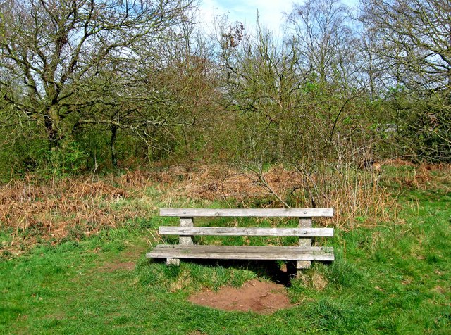
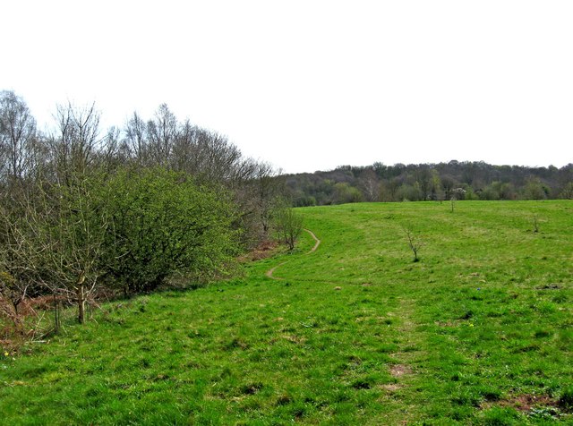
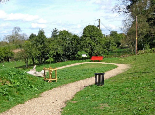
Covering a vast expanse of land, Broom Covert is predominantly characterized by its diverse mix of downs and moorland. The area is blessed with rolling hills, open fields, and pockets of dense woodland, making it a haven for nature enthusiasts and outdoor lovers. The landscape is a mixture of heather-covered moorland, grassy downs, and patches of ancient woodland, providing a rich and varied habitat for a wide range of plant and animal species.
Visitors to Broom Covert can enjoy long walks or hikes through the picturesque countryside, taking in the breathtaking views and immersing themselves in the tranquility of nature. The area is home to a variety of wildlife, including rabbits, foxes, badgers, and numerous bird species, making it a popular spot for birdwatching.
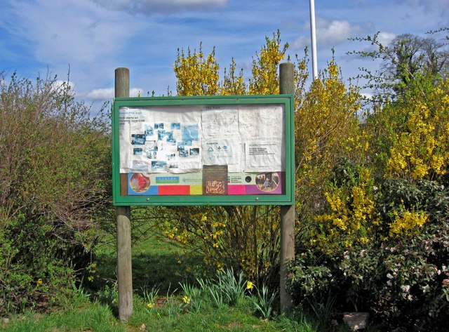
The conservation of Broom Covert is of utmost importance, as it is a designated Site of Special Scientific Interest (SSSI), recognized for its ecological significance and unique natural features. The conservation efforts are focused on maintaining the delicate balance of the ecosystem, preserving the habitat for the numerous rare and protected species found within the area.
Overall, Broom Covert offers a peaceful retreat from the hustle and bustle of urban life, providing a chance to reconnect with nature and explore the beauty of Worcestershire's countryside.
If you have any feedback on the listing, please let us know in the comments section below.
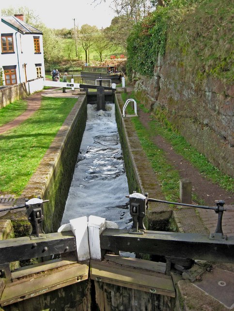
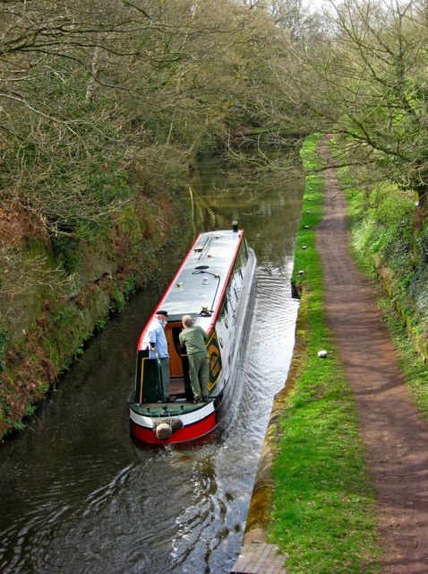
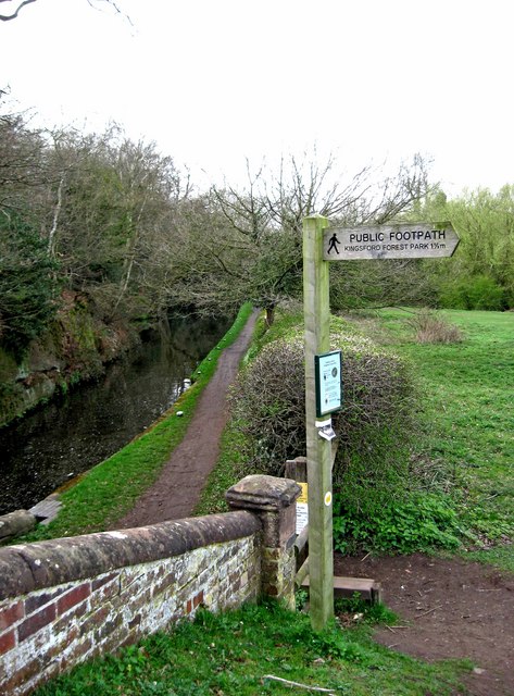
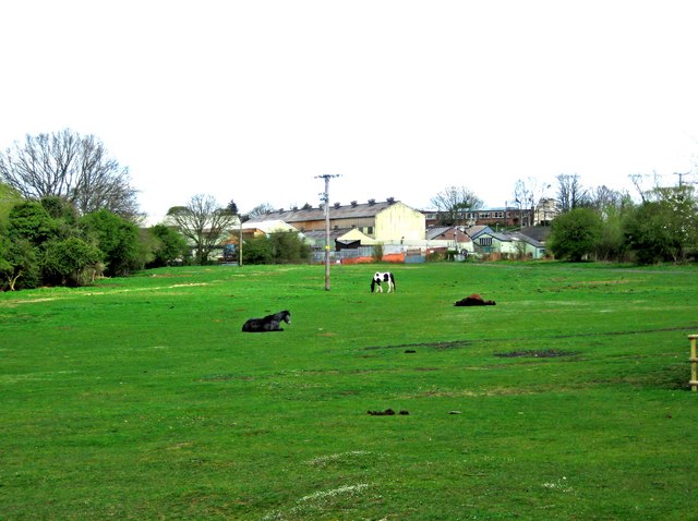
Broom Covert Images
Images are sourced within 2km of 52.408218/-2.2321161 or Grid Reference SO8478. Thanks to Geograph Open Source API. All images are credited.
Broom Covert is located at Grid Ref: SO8478 (Lat: 52.408218, Lng: -2.2321161)
Administrative County: Worcestershire
District: Wyre Forest
Police Authority: West Mercia
What 3 Words
///dads.seated.torch. Near Kidderminster, Worcestershire
Nearby Locations
Related Wikis
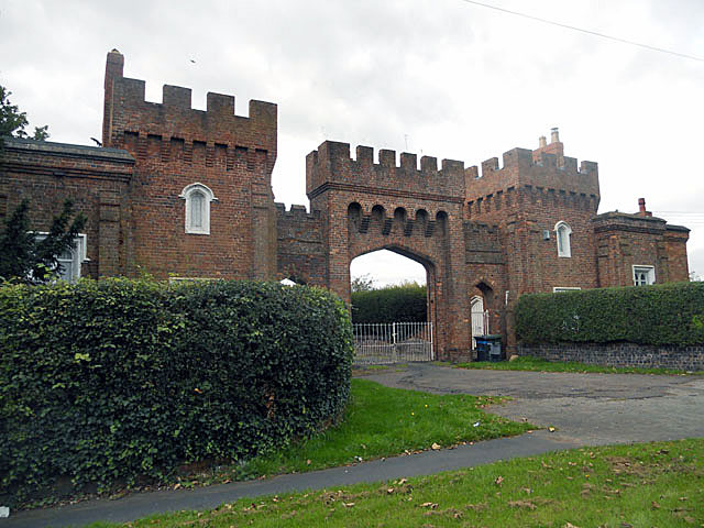
Lea Castle, England
Lea Castle is a ruined Grade II listed Neo Gothic mock castle mansion near Wolverley, England. == History == Lea Castle was built by Edward Knight in 1762...

Heathfield Knoll School
Heathfield Knoll School and First Steps Day Nursery is a small, independent, non-denominational day school and day nursery in Wolverley, near Kidderminster...
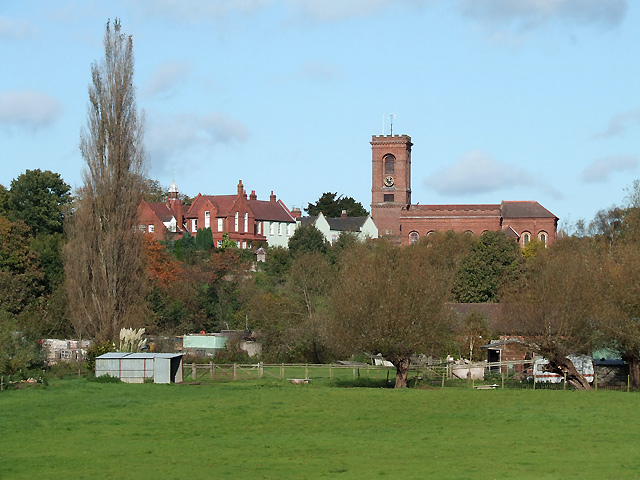
Wolverley
Wolverley is a village; with nearby Cookley (1 mi northeast), it forms a civil parish in the Wyre Forest District of Worcestershire, England. It is 2 miles...

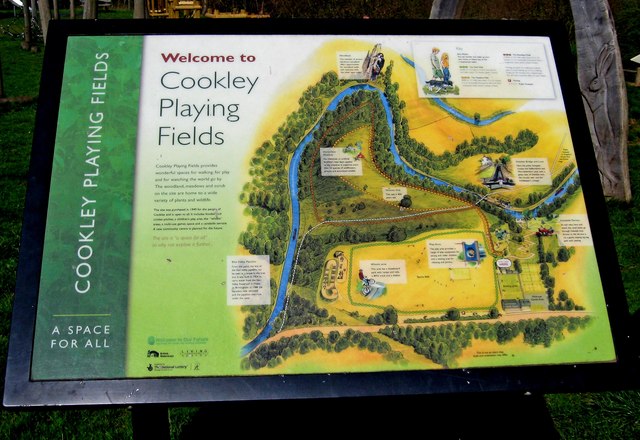
Cookley
Cookley is a village in the Wyre Forest District of Worcestershire, England, a few miles to the north of Kidderminster. Also, a few miles south-west of...

Axborough
Axborough is a low wooded hill east of Cookley in north Worcestershire, England. == History == Its Saxon name meant hassock grass barrow. This does not...

Wyre Forest (UK Parliament constituency)
Wyre Forest is a county constituency represented in the House of Commons of the Parliament of the United Kingdom. It elects one Member of Parliament...
Wolverley Church of England Secondary School
Wolverley CofE Secondary School is located in the village of Wolverley, near Kidderminster in Worcestershire, England. The mixed gender school has approximately...

The Shrubbery, Kidderminster
The Shrubbery is a former military installation in Kidderminster, Worcestershire. It is a Grade II listed building. == History == The building is an early...
Nearby Amenities
Located within 500m of 52.408218,-2.2321161Have you been to Broom Covert?
Leave your review of Broom Covert below (or comments, questions and feedback).