East Winch
Civil Parish in Norfolk King's Lynn and West Norfolk
England
East Winch
East Winch is a civil parish located in the county of Norfolk, England. It is situated approximately 12 miles east of the historical city of King's Lynn. The parish covers an area of around 8 square miles and is home to a population of approximately 1,000 residents.
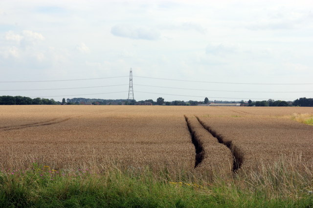
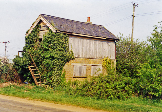
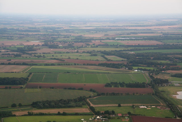
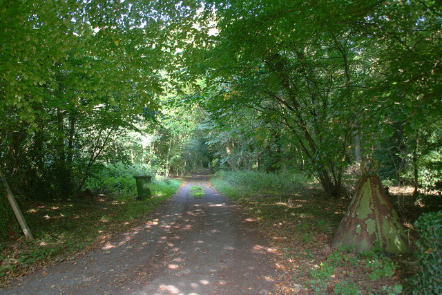
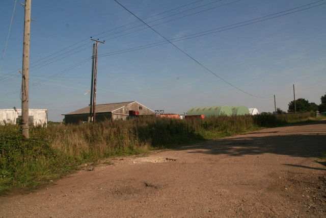
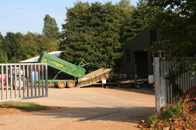
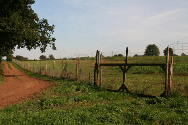
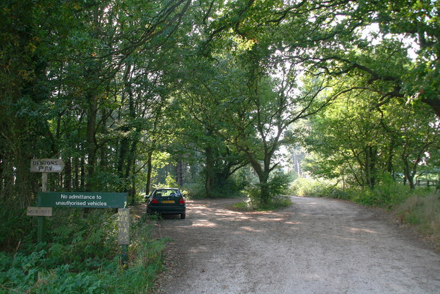
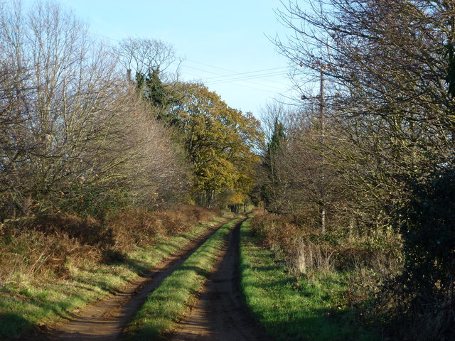
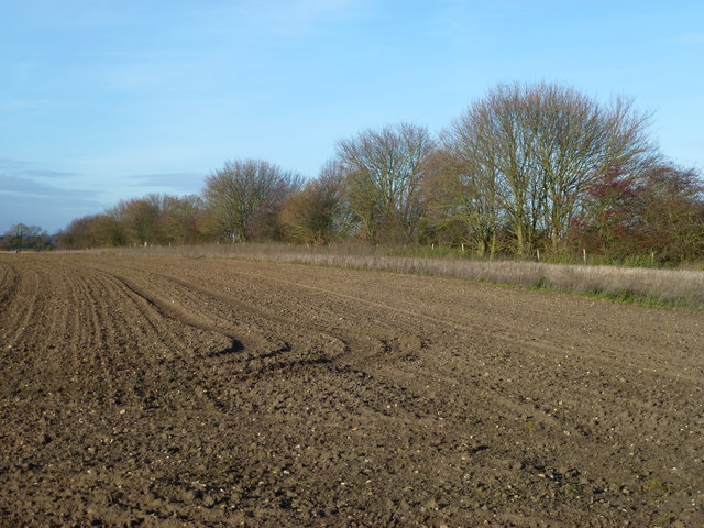
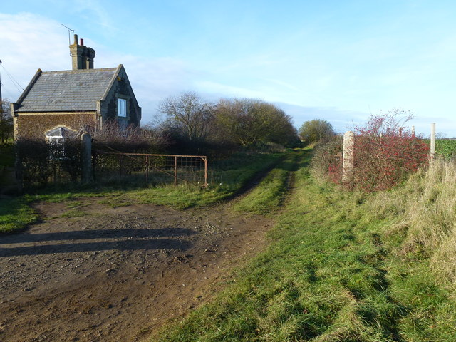
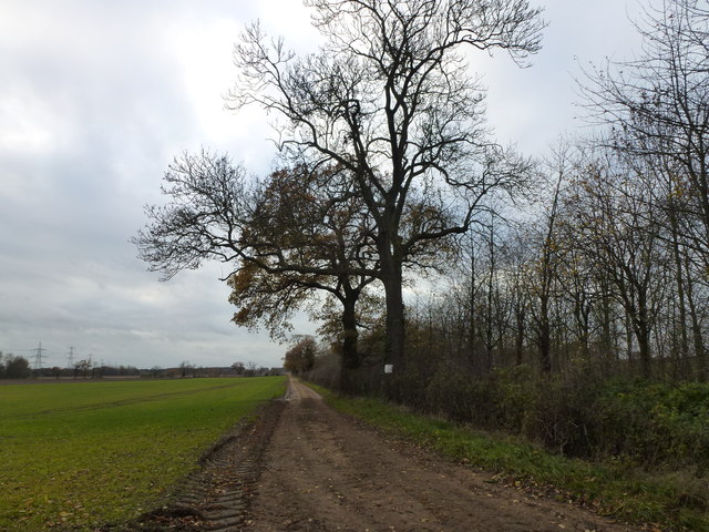
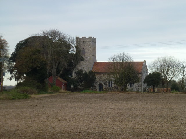
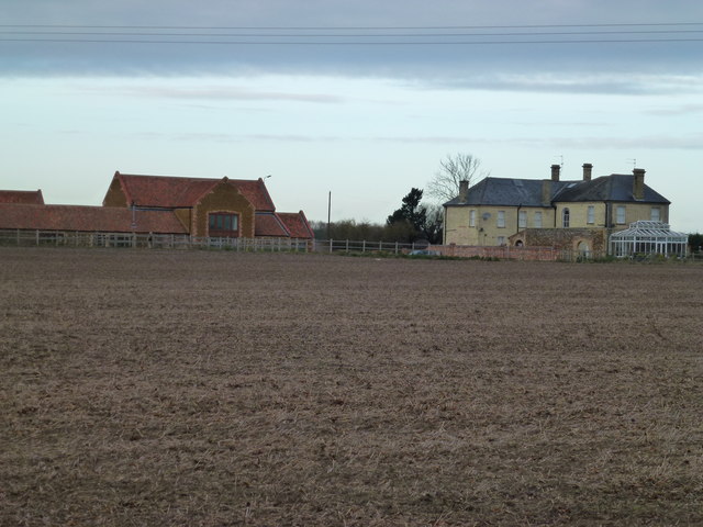
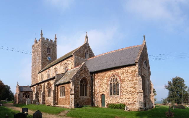
The village of East Winch itself is a small and picturesque settlement, characterized by its traditional English countryside charm and scenic beauty. It boasts a mix of historic architecture, including a 14th-century church dedicated to All Saints, and modern developments. The surrounding area is primarily agricultural, with vast fields and farmland dominating the landscape.
The parish offers a range of amenities and facilities to its residents, including a primary school, a village hall, a post office, and a local convenience store. There are also a number of recreational spaces, such as playgrounds and sports fields, providing opportunities for outdoor activities and community events.
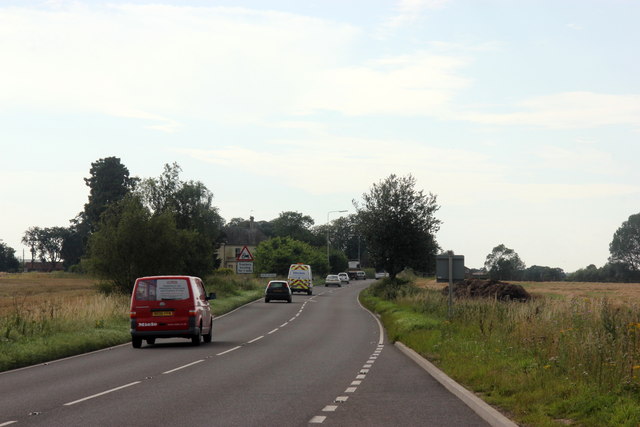
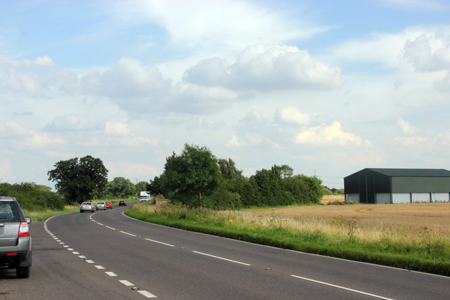
East Winch benefits from its proximity to the nearby market town of King's Lynn, which offers a wider range of services, including shopping centers, supermarkets, healthcare facilities, and educational institutions. The village is well-connected to the surrounding areas via a network of roads, making it easily accessible for commuters and visitors.
Overall, East Winch is a peaceful and close-knit community that offers a tranquil countryside lifestyle while still providing access to essential amenities and nearby urban centers.
If you have any feedback on the listing, please let us know in the comments section below.
East Winch Images
Images are sourced within 2km of 52.710599/0.519844 or Grid Reference TF7015. Thanks to Geograph Open Source API. All images are credited.

East Winch is located at Grid Ref: TF7015 (Lat: 52.710599, Lng: 0.519844)
Administrative County: Norfolk
District: King's Lynn and West Norfolk
Police Authority: Norfolk
What 3 Words
///fizzle.fond.slime. Near Narborough, Norfolk
Nearby Locations
Related Wikis
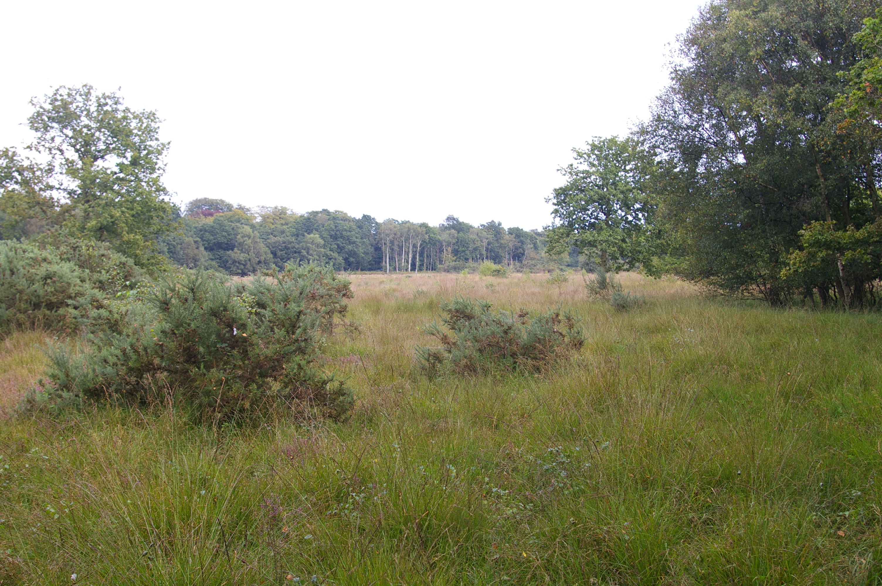
East Winch Common
East Winch Common is a 26.1-hectare (64-acre) biological Site of Special Scientific Interest south-east of King's Lynn in Norfolk. It is common land and...
East Winch
East Winch is a village and civil parish in the English county of Norfolk. The village is located 4.9 miles (7.9 km) south-east of King's Lynn and 34 miles...
West Bilney
West Bilney is a village and former civil parish on the A47 road, 32 miles (51 km) west of Norwich, now in the parish of East Winch, in the King's Lynn...
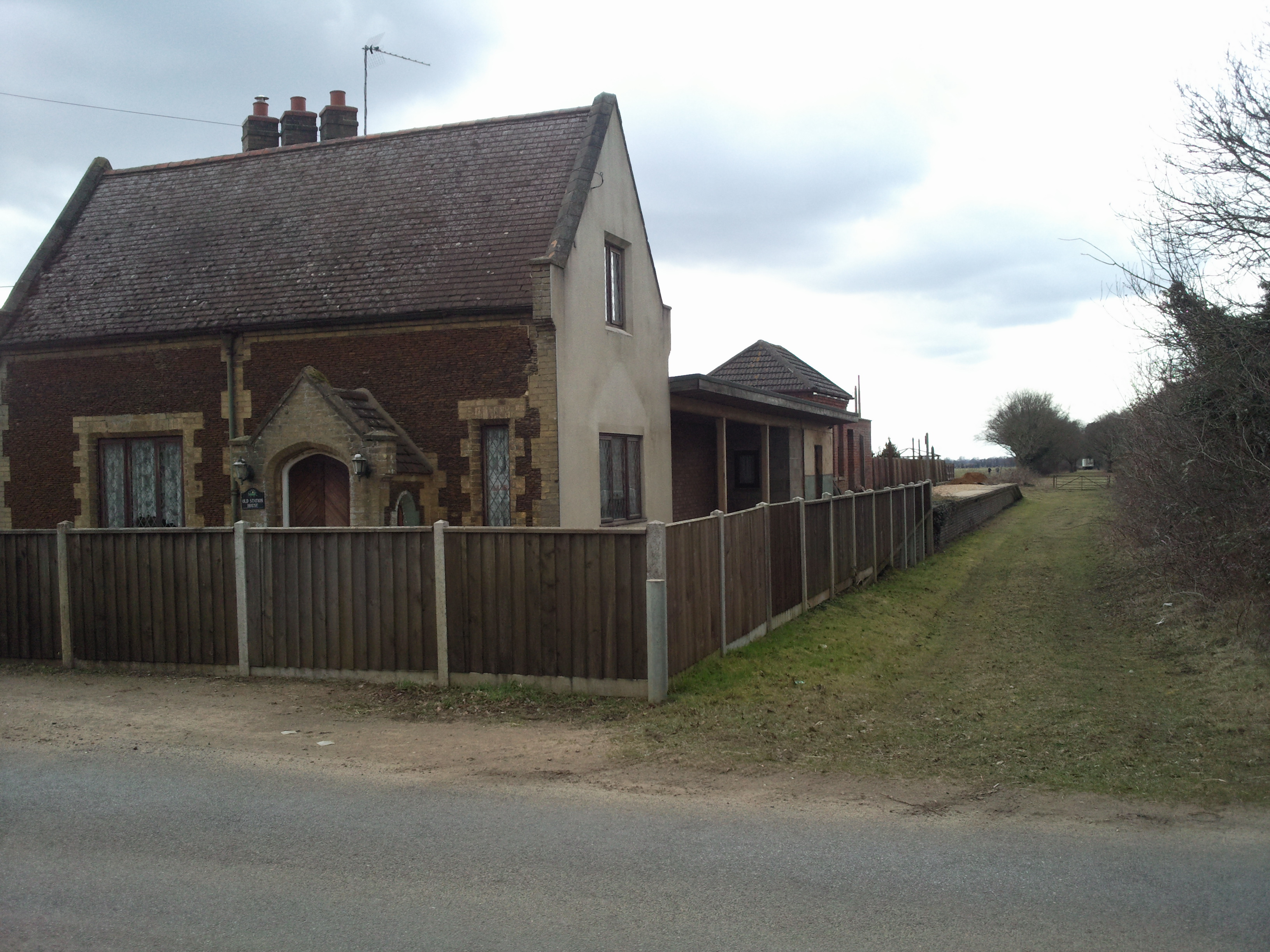
East Winch railway station
East Winch railway station was at East Winch, Norfolk, England on the line between King's Lynn and Swaffham. It closed in 1968. The signal box from the...

Bilney railway station
Bilney railway station was located on the line between East Winch and Narborough and Pentney. It served the village of West Bilney, and closed in 1866...
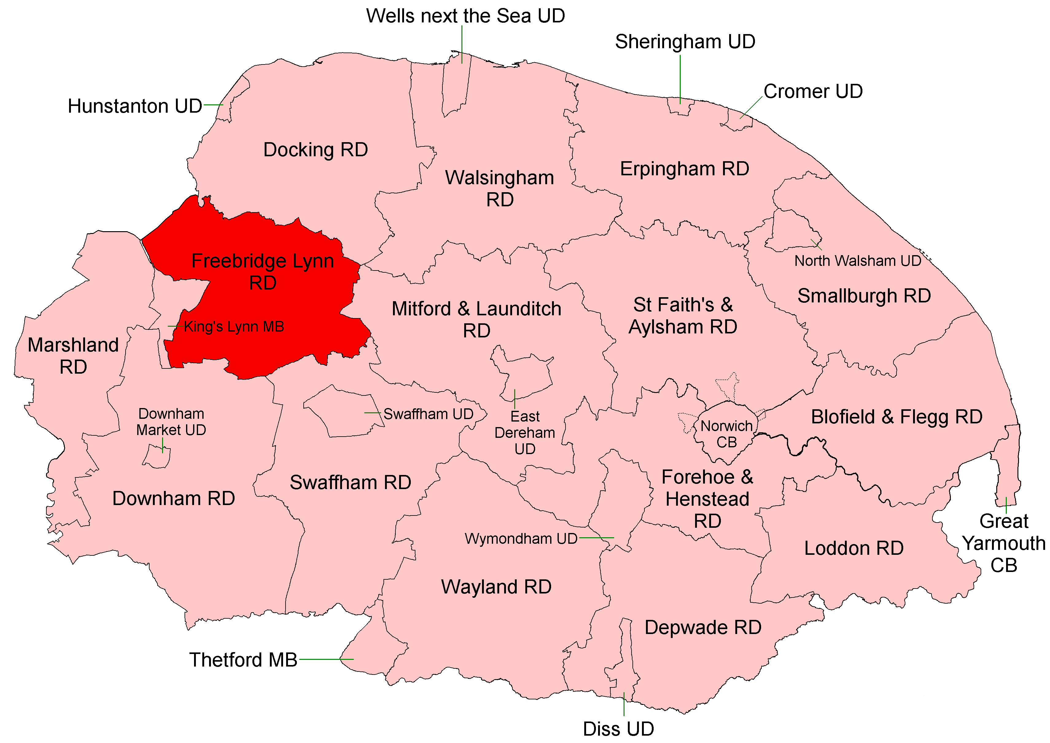
Freebridge Lynn Rural District
Freebridge Lynn Rural District was a rural district in Norfolk, England from 1894 to 1974.It was formed under the Local Government Act 1894 based on the...

Docking Rural District
Docking Lynn Rural District was a rural district in Norfolk, England from 1894 to 1974.It was formed under the Local Government Act 1894 based on the Docking...
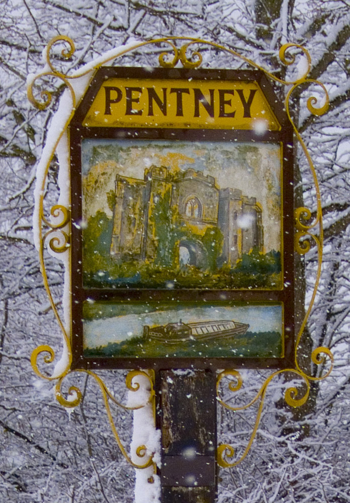
Pentney
Pentney is a village and civil parish in the English county of Norfolk, located about 8 miles (13 km) south east of King's Lynn placing it about halfway...
Nearby Amenities
Located within 500m of 52.710599,0.519844Have you been to East Winch?
Leave your review of East Winch below (or comments, questions and feedback).