East Walton
Civil Parish in Norfolk King's Lynn and West Norfolk
England
East Walton

East Walton is a civil parish located in the county of Norfolk, England. Situated in the East Anglia region, it covers an area of approximately 5.5 square kilometers and is nestled within the picturesque countryside of Norfolk. The parish is part of the King's Lynn and West Norfolk district.
East Walton is a small village with a population of about 130 residents, according to the latest available data. Historically, the village dates back to the Domesday Book in 1086. It retains much of its rural charm and tranquility, with a scattering of traditional cottages and farmhouses that add to its character.
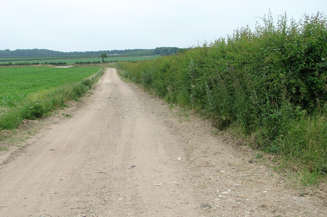
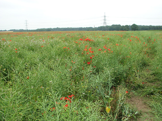
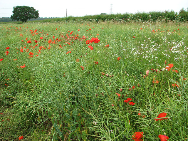
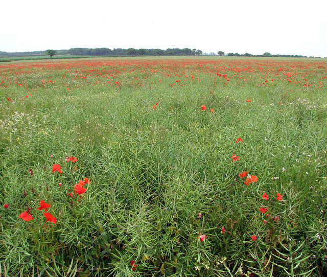
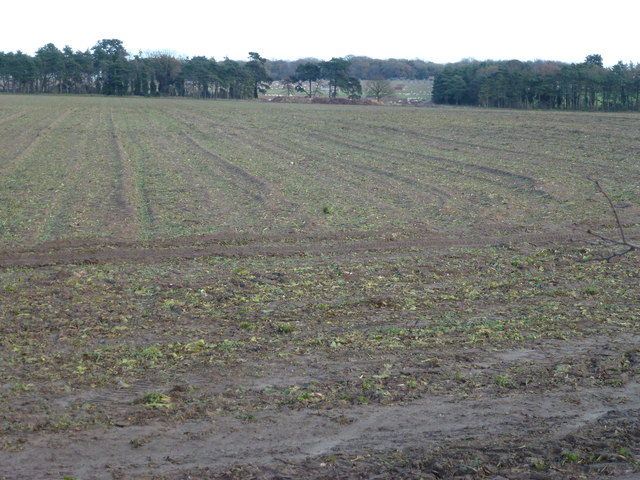
The village is surrounded by beautiful farmland, and agriculture plays a significant role in the local economy. Many of the residents are employed in farming or related industries. The landscape is dotted with fields of crops and grazing livestock, contributing to the area's scenic appeal.
Despite its small size, East Walton is not devoid of amenities. The village has a church, St. Mary's, which serves as a central hub for the local community. The church is of historical significance and is known for its architectural features.
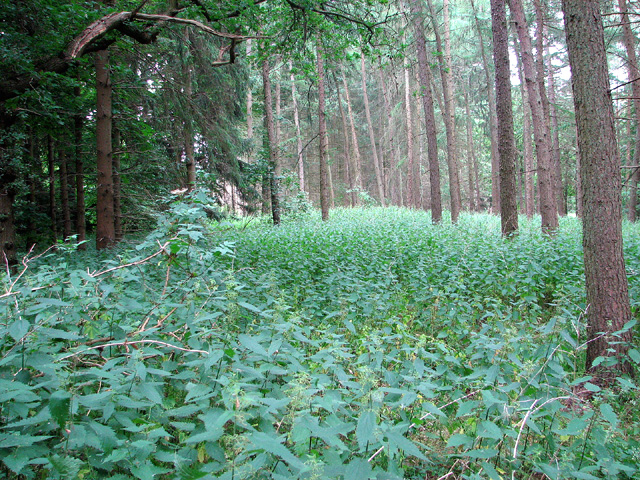
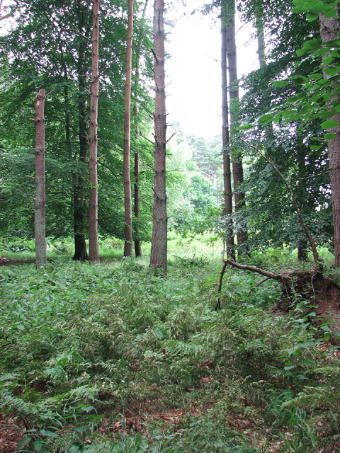
For those seeking outdoor activities, the parish offers ample opportunities to explore the surrounding countryside. Footpaths and bridleways crisscross the area, providing scenic walks and bike rides. The nearby River Nar also offers opportunities for fishing and boating.
East Walton, with its rustic charm and idyllic setting, is an attractive place to live for those seeking a peaceful rural lifestyle in the heart of Norfolk.
If you have any feedback on the listing, please let us know in the comments section below.
East Walton Images
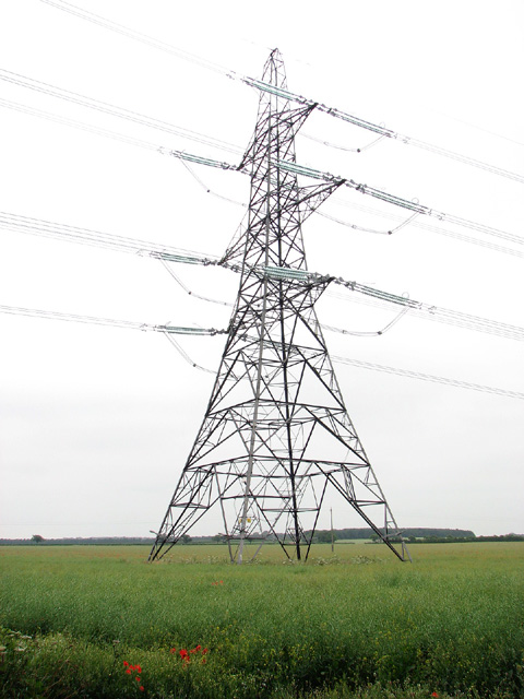
Images are sourced within 2km of 52.71547/0.58553 or Grid Reference TF7416. Thanks to Geograph Open Source API. All images are credited.


East Walton is located at Grid Ref: TF7416 (Lat: 52.71547, Lng: 0.58553)
Administrative County: Norfolk
District: King's Lynn and West Norfolk
Police Authority: Norfolk
What 3 Words
///unscrew.riper.caressing. Near Narborough, Norfolk
Nearby Locations
Related Wikis

East Walton
East Walton is a village in the English county of Norfolk. The village is located 7.8 miles (12.6 km) south-east of King's Lynn and 31 miles (50 km) north...

East Walton and Adcock's Common
East Walton and Adcock's Common is a 62.4-hectare (154-acre) biological and geological Site of Special Scientific Interest south-east of King's Lynn in...
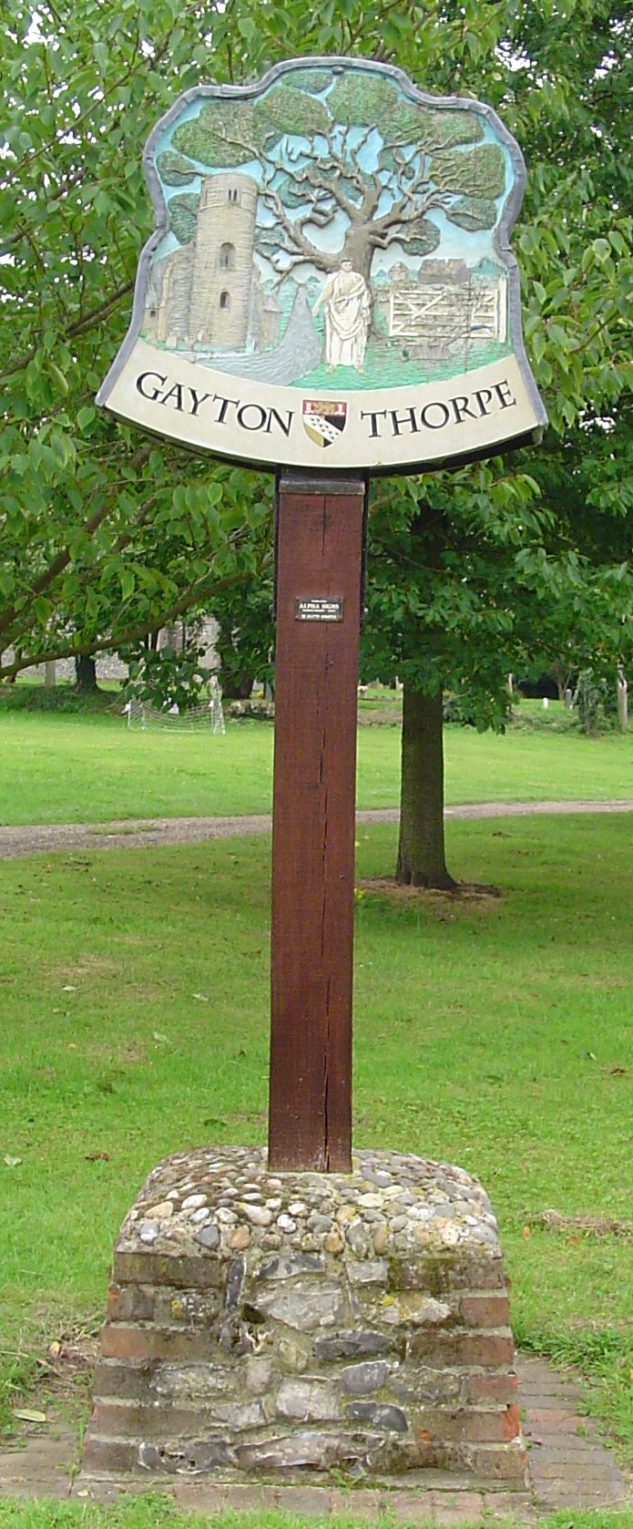
Gayton Thorpe
Gayton Thorpe is a village and former civil parish, now in the parish of Gayton, in the King's Lynn and West Norfolk district, in the county of Norfolk...

Gayton Thorpe Roman Villa
Gayton Thorpe Roman Villa is the site of a Roman villa, near Gayton Thorpe and about 5 miles (8 km) east of King's Lynn, in Norfolk, England. It was discovered...

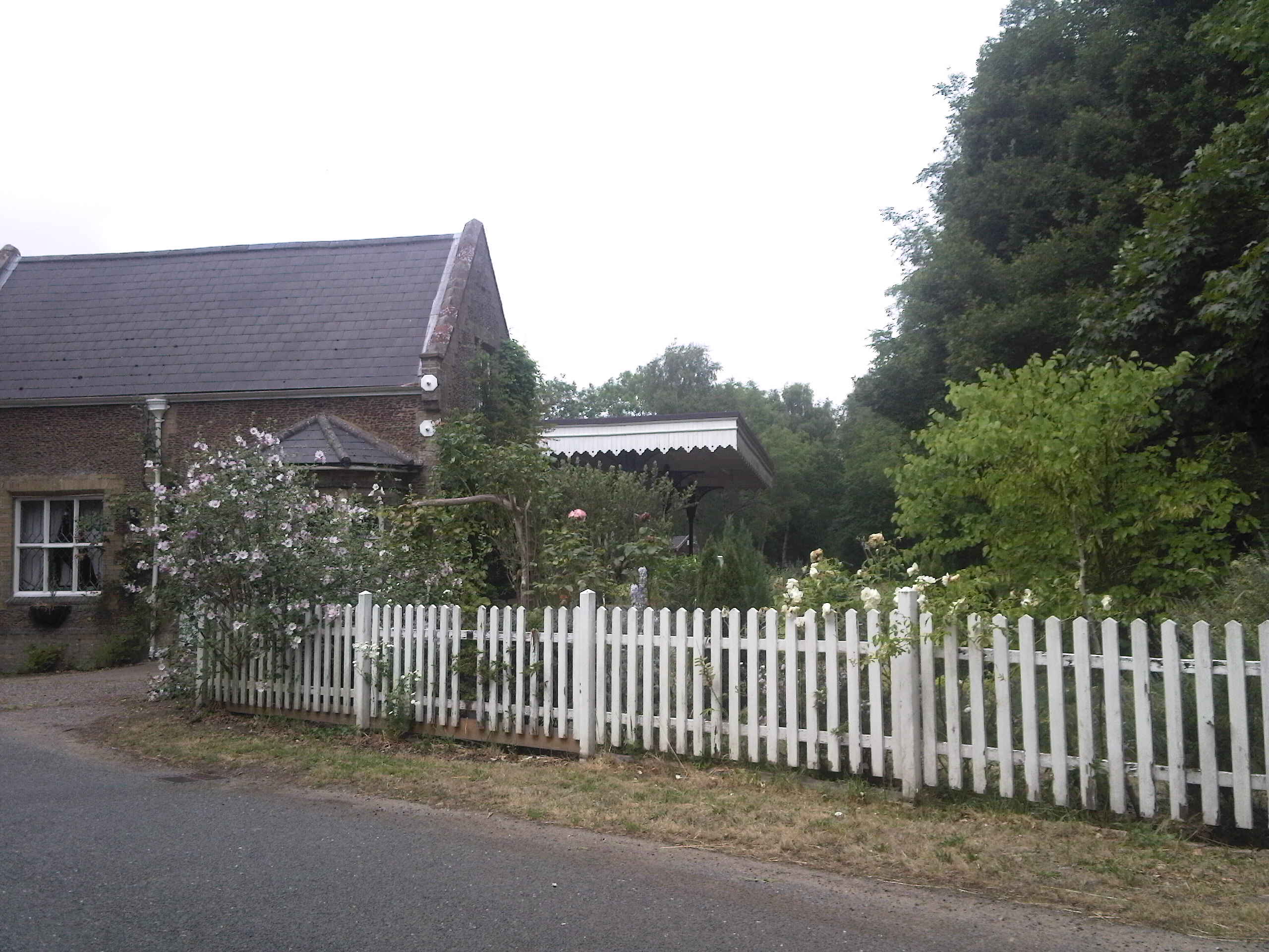
Bilney railway station
Bilney railway station was located on the line between East Winch and Narborough and Pentney. It served the village of West Bilney, and closed in 1866...
Narborough and Pentney railway station
Narborough and Pentney station was in Norfolk, serving the villages of Narborough and Pentney. == History == It was on the line between King's Lynn and...

Narford
Narford is situated in the Breckland District of Norfolk and covers an area of 970 hectares (3.75 square miles). Narford village has all but disappeared...

Narborough Watermill
Narborough Watermill is located on the river Nar, within the village of Narborough in the English county of Norfolk. The watermill is thought to have been...
Nearby Amenities
Located within 500m of 52.71547,0.58553Have you been to East Walton?
Leave your review of East Walton below (or comments, questions and feedback).