East Walton

Settlement in Norfolk King's Lynn and West Norfolk

England

East Walton

Inquisitive horse near Gayton Thorpe
Inquisitive horse near Gayton Thorpe Credit: Richard Humphrey

East Walton is a small village located in the county of Norfolk, England. Situated approximately 5 miles east of the town of Swaffham, it is nestled in the heart of the picturesque Norfolk countryside. The village has a population of around 300 residents and is renowned for its peaceful and idyllic setting.

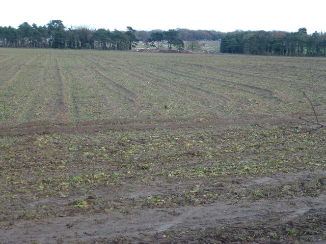
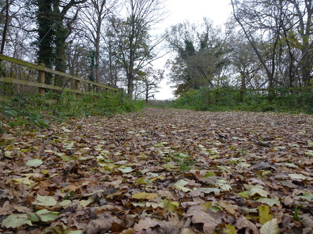
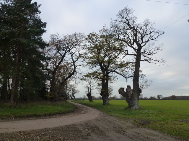
The architecture of East Walton is predominantly traditional, with charming cottages and farmhouses dotting the landscape. The village is surrounded by vast fields, meadows, and woodland, making it a haven for nature lovers and walkers. The nearby River Nar adds to the beauty of the area, providing a tranquil spot for fishing or simply enjoying the scenic views.

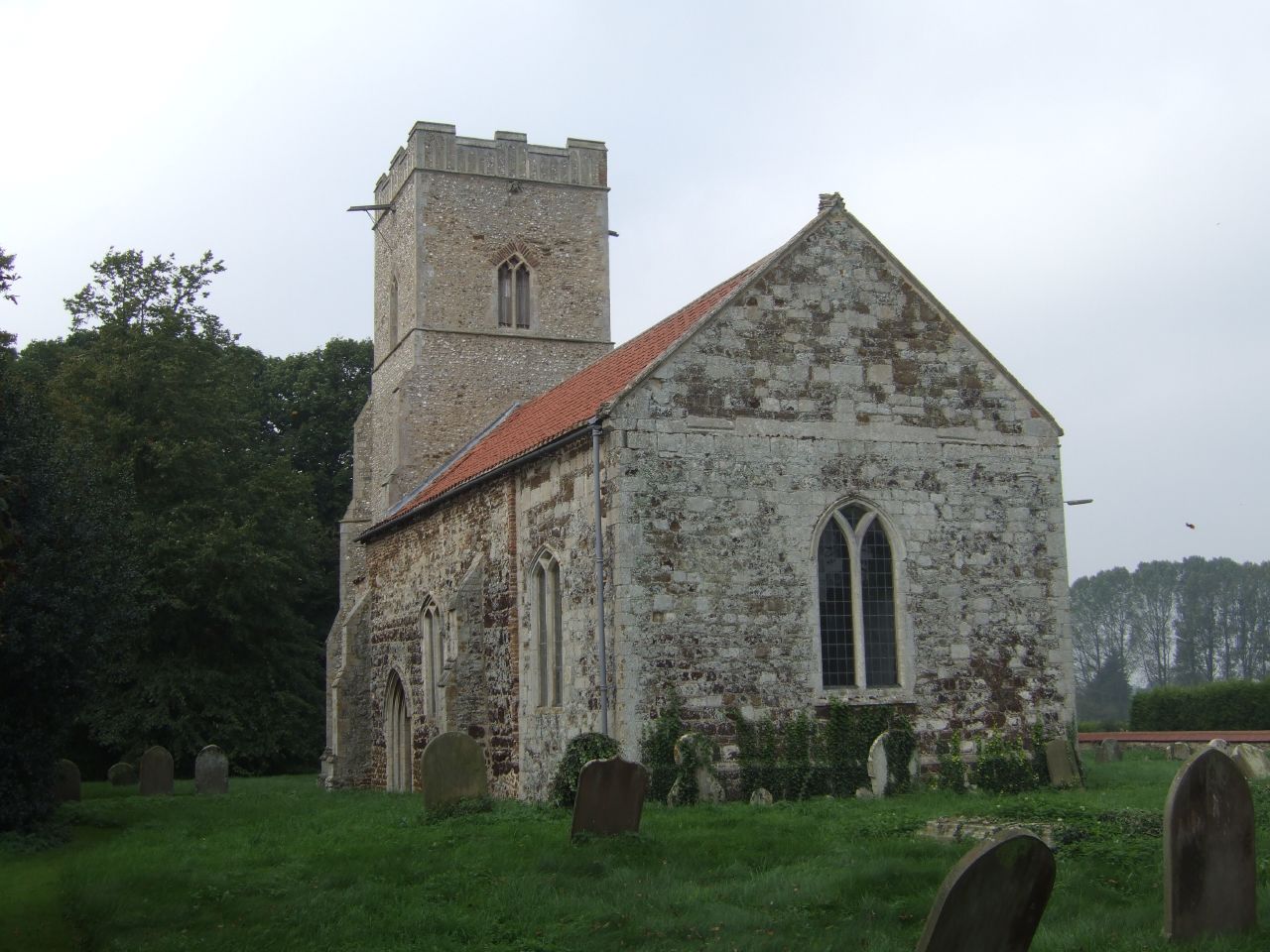
Despite its small size, East Walton boasts a strong sense of community. The village has a primary school that serves the local children, along with a village hall that hosts various events and activities, fostering a vibrant social scene. The village also has a historic church, St. Mary's, which dates back to the 14th century and is a prominent feature of the local landscape.

While East Walton may be a quiet and rural village, it benefits from its proximity to Swaffham, where residents have access to a range of amenities including shops, supermarkets, and healthcare facilities. The village is well-connected by road, with the A47 passing nearby, providing easy access to major cities such as Norwich and King's Lynn.

Overall, East Walton offers a charming and peaceful countryside living experience, where residents can enjoy the beauty of nature and a strong sense of community.

If you have any feedback on the listing, please let us know in the comments section below.
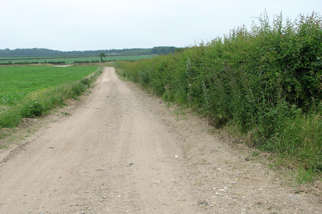
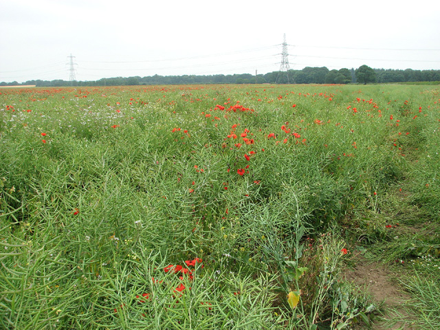
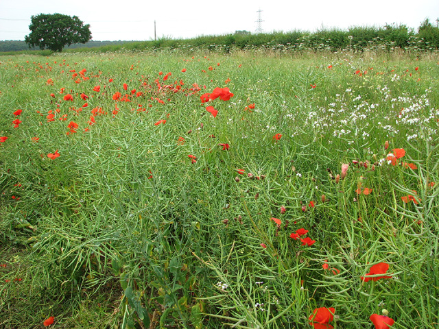
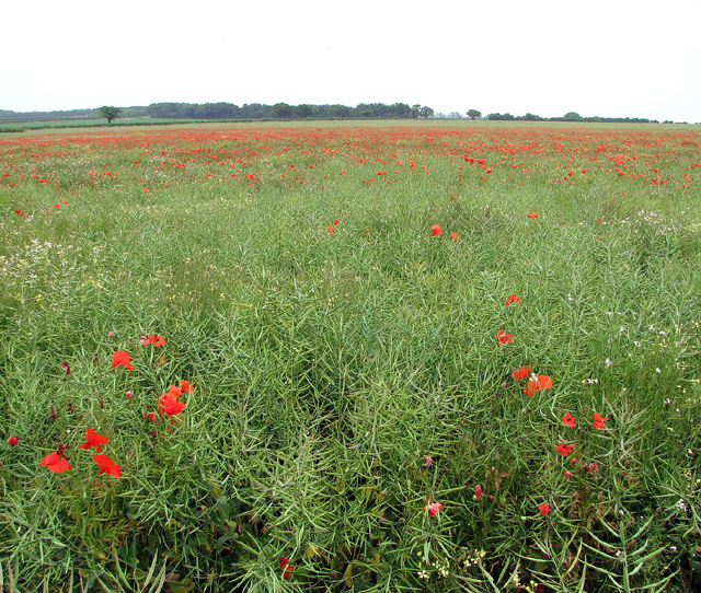
East Walton Images

Images are sourced within 2km of 52.718954/0.58079 or Grid Reference TF7416. Thanks to Geograph Open Source API. All images are credited.

Inquisitive horse near Gayton Thorpe
Near Gravel Pit Plantation looking towards Gayton
Sugar beet crop by Walton Field Belts, Narford
Track through fields east of Narford Lane
Poppies and pylons, Narford
Poppies in oilseed rape field, Narford
Poppies beside Narford Lane
Poppies and oilseed rape, Narford
Poppies in oilseed rape crop east of Narford Lane One of the Walton Field Belts can be seen in the background (at left).
Poppies in oilseed rape crop east of Narford Lane
One of the Walton Field Belts can be seen in the background (at left).
Oilseed rape crop and poppies, Narford
Straw stack near Walton Common, Norfolk
The wheelwright's oven and stone, East Walton See <a title="https://www.geograph.org.uk/photo/1744857" href="https://www.geograph.org.uk/photo/1744857">Link</a> for more details
The wheelwright's oven and stone, East Walton
See Link for more details
Harvested sugar beet field near East Walton Free range pigs in the distance, they may well be moved onto this field soon?
Harvested sugar beet field near East Walton
Free range pigs in the distance, they may well be moved onto this field soon?
Sugar beet heap off Narford Lane, East Walton
Shed on Water Lane, East Walton
A carpet of leaves on the track South of Summer End Farm, East Walton, Norfolk
A carpet of leaves on the track
South of Summer End Farm, East Walton, Norfolk
Lane to Magpie Farm A dead-end lane pretty much equidistant from West Bilney, Pentney and East Walton
Lane to Magpie Farm
A dead-end lane pretty much equidistant from West Bilney, Pentney and East Walton
East Walton St. Mary's church The round tower is Norman with an embattled parapet and new windows added at a later date. The doorway of the porch is substantially wider at the top. Large 14th c. windows in the nave make a bright interior. The 14th c. font with quatrefoil designs is gradually turning green. A good three-decker pulpit retains its back-board and tester. But behind that is a disaster which could be easily corrected. The lovely decorated 14th c. chancel arch has been partially in-filled, hiding  most of the decoration. An idea of what is hidden can be seen above the arch of the chancel door. The ceilings are plaster-boarded and are ugly in their simplicity. A Victorian bier is on display and has the appearance that it may still be in use. The Royal Arms are 18th c. Hanoverian. showing the crown of Charlemagne.
East Walton St. Mary's church
The round tower is Norman with an embattled parapet and new windows added at a later date. The doorway of the porch is substantially wider at the top. Large 14th c. windows in the nave make a bright interior. The 14th c. font with quatrefoil designs is gradually turning green. A good three-decker pulpit retains its back-board and tester. But behind that is a disaster which could be easily corrected. The lovely decorated 14th c. chancel arch has been partially in-filled, hiding most of the decoration. An idea of what is hidden can be seen above the arch of the chancel door. The ceilings are plaster-boarded and are ugly in their simplicity. A Victorian bier is on display and has the appearance that it may still be in use. The Royal Arms are 18th c. Hanoverian. showing the crown of Charlemagne.
Show me another place!

East Walton is located at Grid Ref: TF7416 (Lat: 52.718954, Lng: 0.58079)

Administrative County: Norfolk

District: King's Lynn and West Norfolk

Police Authority: Norfolk

What 3 Words

///proceeds.priced.remainder. Near Narborough, Norfolk

Related Wikis

East Walton

East Walton is a village in the English county of Norfolk. The village is located 7.8 miles (12.6 km) south-east of King's Lynn and 31 miles (50 km) north...

East Walton and Adcock's Common

East Walton and Adcock's Common is a 62.4-hectare (154-acre) biological and geological Site of Special Scientific Interest south-east of King's Lynn in...

Gayton Thorpe

Gayton Thorpe is a village and former civil parish, now in the parish of Gayton, in the King's Lynn and West Norfolk district, in the county of Norfolk...

Gayton Thorpe Roman Villa

Gayton Thorpe Roman Villa is the site of a Roman villa, near Gayton Thorpe and about 5 miles (8 km) east of King's Lynn, in Norfolk, England. It was discovered...

Bilney railway station

Bilney railway station was located on the line between East Winch and Narborough and Pentney. It served the village of West Bilney, and closed in 1866...

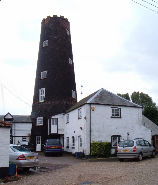
Gayton Windmill, Norfolk

For the Gayton Windmill now in Merseyside see Gayton Windmill, Cheshire Gayton Mill is a Grade II listed tower mill at Gayton, Norfolk, England which...

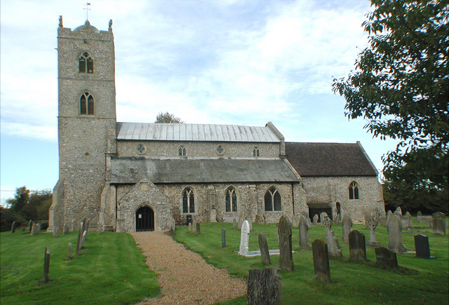
St Nicholas Church, Gayton

St Nicholas Church is a Church of England church located in Gayton, Norfolk. == Overview == The construction of the church building was completed in 1604...

West Bilney

West Bilney is a village and former civil parish on the A47 road, 32 miles (51 km) west of Norwich, now in the parish of East Winch, in the King's Lynn...

Nearby Amenities

Located within 500m of 52.718954,0.58079
East Walton
Is In: Norfolk,UK
Place: hamlet
Lat/Long: 52.7161638/0.5801233
Bus Stop
Church Lane, adj
Naptan AtcoCode: 2900W081
Naptan Bearing: NW
Naptan CommonName: Church Lane
Naptan Indicator: adj
Naptan Locality: East Walton
Naptan NaptanCode: nfogdgdg
Naptan Street: B1153
Naptan Verified: no
Source: naptan_import
Lat/Long: 52.7190905/0.5805774
Church Lane, opp
Naptan AtcoCode: 2900W082
Naptan Bearing: SE
Naptan BusStopType: CUS
Naptan CommonName: Church Lane
Naptan Indicator: opp
Naptan Landmark: Greyhound Barns
Naptan Locality: East Walton
Naptan NaptanCode: nfogdgdj
Naptan Street: B1153
Naptan Verified: no
Source: naptan_import
Lat/Long: 52.7192707/0.5805585
Give Way
Lat/Long: 52.7182187/0.5863954
Bench
Backrest: yes
Material: wood
Seats: 3
Lat/Long: 52.7206768/0.5789408
East Walton
Colour: black
Man Made: village_sign
Material: metal
Lat/Long: 52.7206102/0.5791188
Saint Andrew
Abandoned Amenity: place_of_worship
Denomination: anglican
Historic: ruins
Listed Status: Grade II
Material: stone
Religion: christian
Ruins: church
Website: http://www.heritage.norfolk.gov.uk/record-details?MNF3758
Lat/Long: 52.7153544/0.578751
Give Way
Lat/Long: 52.7204833/0.5793274
Power: pole
Transformer: distribution
Lat/Long: 52.716071/0.5804783
Power: pole
Lat/Long: 52.7172294/0.579907
Power: pole
Lat/Long: 52.7184106/0.5793437
Power: pole
Lat/Long: 52.7195219/0.5788046
Power: pole
Lat/Long: 52.7228231/0.5771899
Power: pole
Lat/Long: 52.7217167/0.5775923
Power: pole
Lat/Long: 52.7206567/0.578299
Power: pole
Lat/Long: 52.7151936/0.5821037
Give Way
Lat/Long: 52.71895/0.5808189
Post Box
Operator: Royal Mail
Post Box Mounting: pier
Post Box Type: lamp
Lat/Long: 52.7208622/0.5789401
East Walton
Direction: SSE
Inscription: 40 / Please drive carefully
Traffic Sign: city_limit
Lat/Long: 52.7220027/0.5787362
The data included in this document is from www.openstreetmap.org. The data is made available under ODbL.

Have you been to East Walton?

Leave your review of East Walton below (or comments, questions and feedback).