Common Belt
Wood, Forest in Norfolk King's Lynn and West Norfolk
England
Common Belt

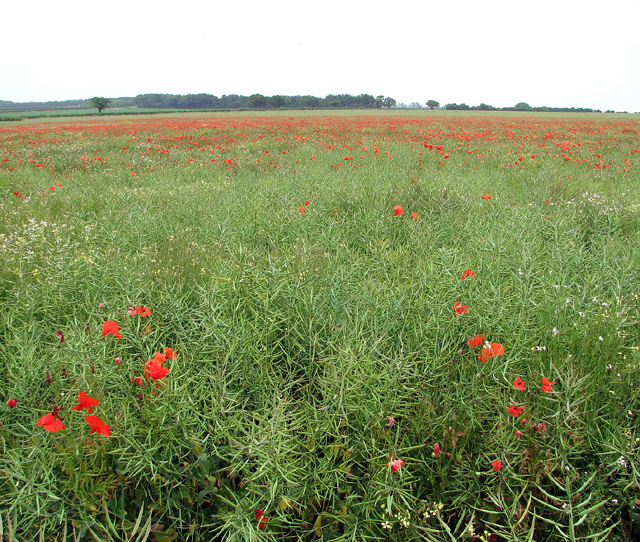
Common Belt is a small village located in Norfolk, England. It is nestled within the beautiful woodlands and forests of the region, offering residents and visitors a tranquil and picturesque setting. The village is renowned for its lush green landscapes and natural beauty, making it a popular destination for nature enthusiasts and those seeking a peaceful retreat.
The village is home to a close-knit community, with a population of approximately 500 residents. The area is known for its strong sense of community spirit, with regular events and activities organized by local groups and organizations. Common Belt boasts a range of amenities to cater to the needs of its residents, including a village hall, a primary school, a post office, and a few local shops.
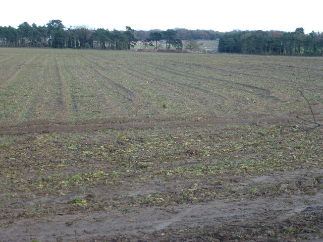
One of the main attractions of Common Belt is its abundance of woodlands and forests. These natural areas provide ample opportunities for outdoor activities such as hiking, cycling, and bird-watching. The village is also surrounded by several walking trails that showcase the stunning scenery and wildlife of the region.
In terms of transportation, Common Belt is well-connected to nearby towns and cities. The village has good road links, with easy access to the A47, making it convenient for commuters and visitors to explore the wider area. Additionally, there are regular bus services that connect the village to neighboring towns.
Overall, Common Belt, Norfolk is a charming village that offers a peaceful and scenic environment for residents and visitors alike. Its beautiful woodlands, strong community spirit, and convenient amenities make it an ideal place to call home or to visit for a relaxing getaway.
If you have any feedback on the listing, please let us know in the comments section below.
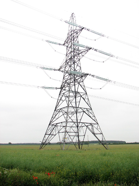
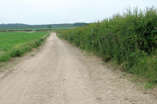
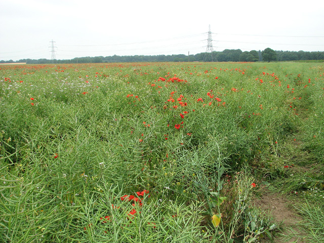
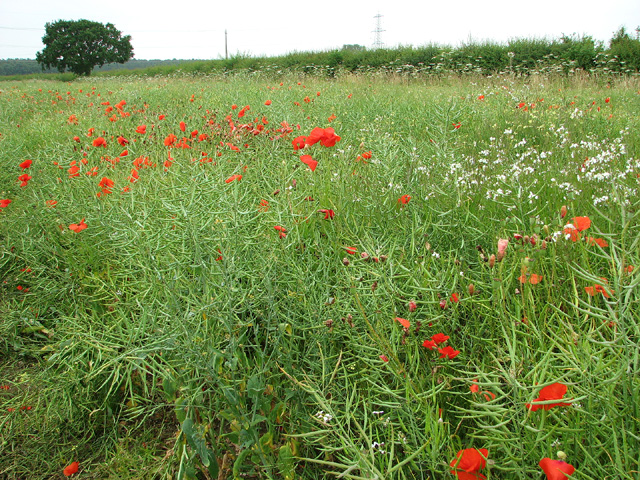
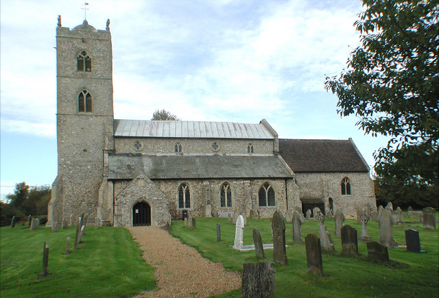
Common Belt Images
Images are sourced within 2km of 52.720538/0.58785921 or Grid Reference TF7416. Thanks to Geograph Open Source API. All images are credited.


Common Belt is located at Grid Ref: TF7416 (Lat: 52.720538, Lng: 0.58785921)
Administrative County: Norfolk
District: King's Lynn and West Norfolk
Police Authority: Norfolk
What 3 Words
///caressed.strikers.coverings. Near Narborough, Norfolk
Nearby Locations
Related Wikis

East Walton
East Walton is a village in the English county of Norfolk. The village is located 7.8 miles (12.6 km) south-east of King's Lynn and 31 miles (50 km) north...

East Walton and Adcock's Common
East Walton and Adcock's Common is a 62.4-hectare (154-acre) biological and geological Site of Special Scientific Interest south-east of King's Lynn in...
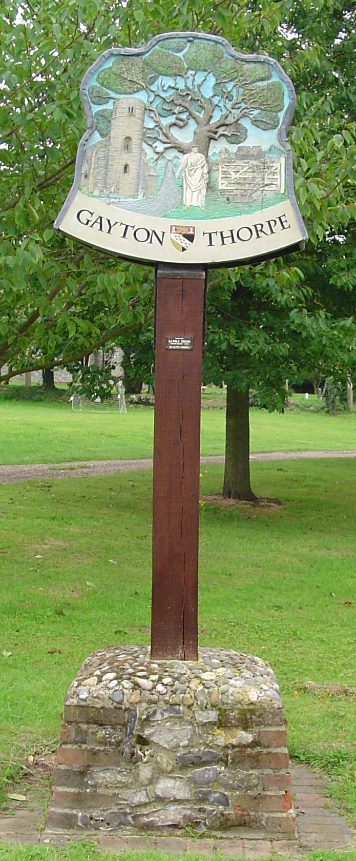
Gayton Thorpe
Gayton Thorpe is a village and former civil parish, now in the parish of Gayton, in the King's Lynn and West Norfolk district, in the county of Norfolk...

Gayton Thorpe Roman Villa
Gayton Thorpe Roman Villa is the site of a Roman villa, near Gayton Thorpe and about 5 miles (8 km) east of King's Lynn, in Norfolk, England. It was discovered...

Bilney railway station
Bilney railway station was located on the line between East Winch and Narborough and Pentney. It served the village of West Bilney, and closed in 1866...
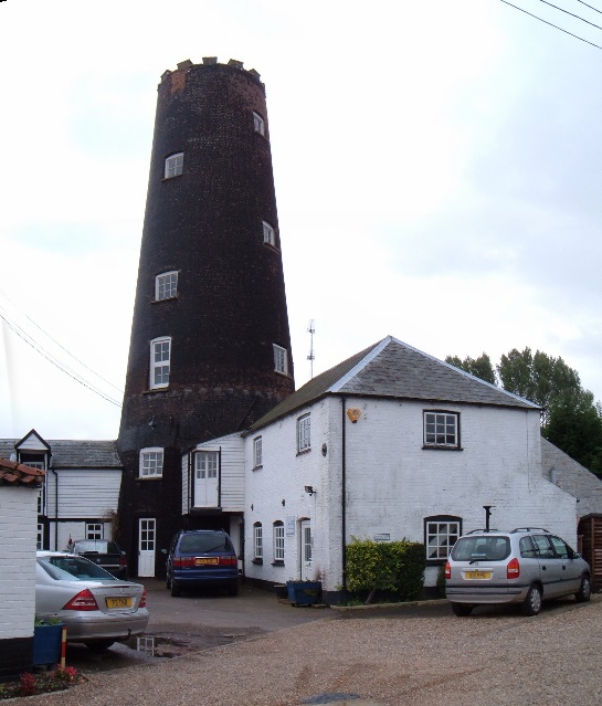
Gayton Windmill, Norfolk
For the Gayton Windmill now in Merseyside see Gayton Windmill, Cheshire Gayton Mill is a Grade II listed tower mill at Gayton, Norfolk, England which...
St Nicholas Church, Gayton
St Nicholas Church is a Church of England church located in Gayton, Norfolk. == Overview == The construction of the church building was completed in 1604...

Gayton, Norfolk
Gayton is a village and civil parish in the English county of Norfolk. The village is located 6 miles (9.7 km) east of King's Lynn and 32 miles (51 km...
Nearby Amenities
Located within 500m of 52.720538,0.58785921Have you been to Common Belt?
Leave your review of Common Belt below (or comments, questions and feedback).