East Winch Common
Wood, Forest in Norfolk King's Lynn and West Norfolk
England
East Winch Common
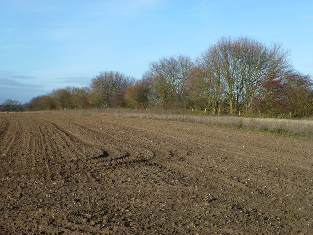
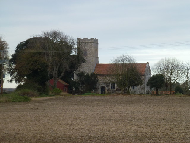
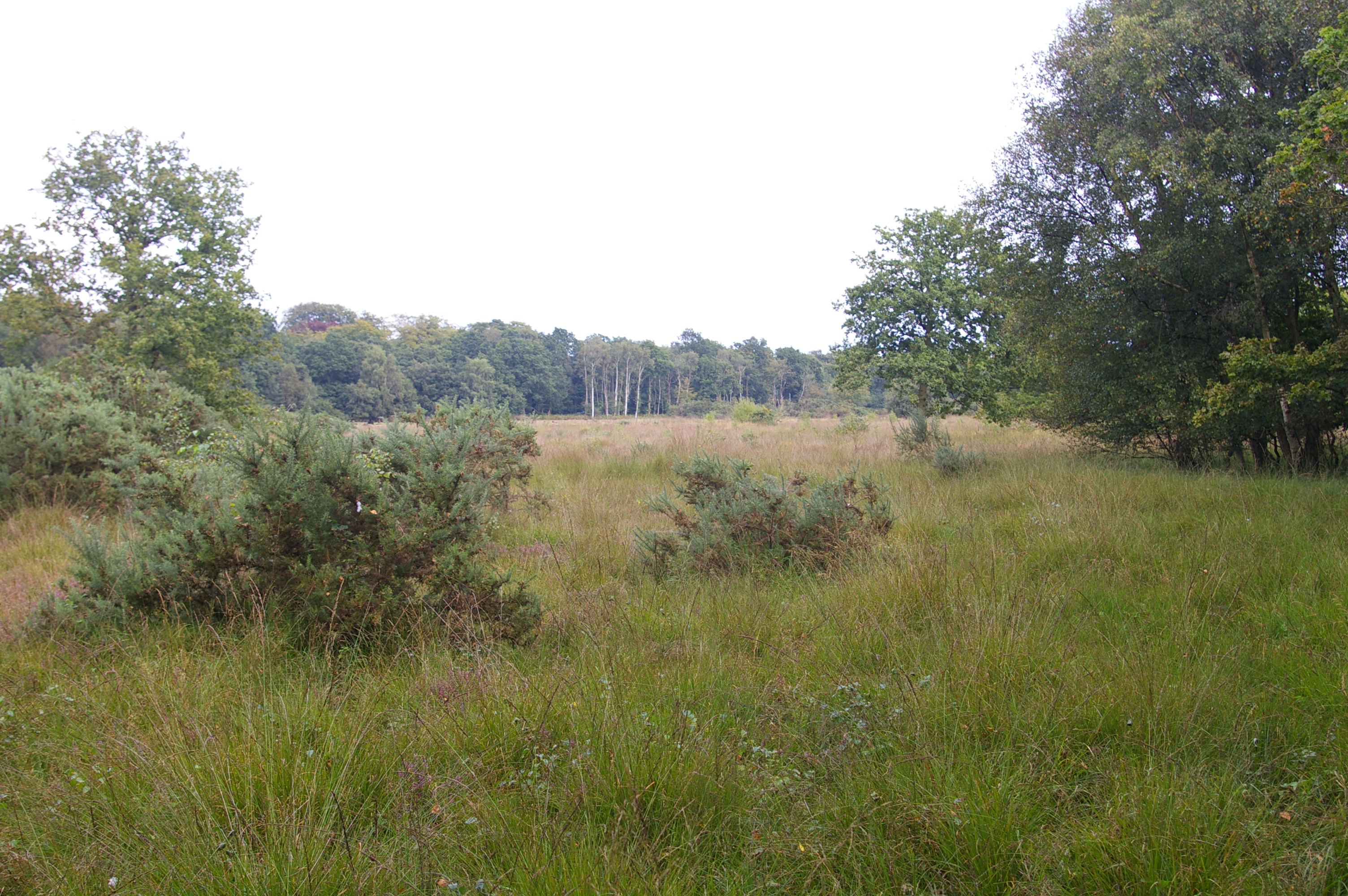
East Winch Common is a picturesque woodland area situated in Norfolk, England. Covering an expansive area, it is known for its beautiful natural surroundings and diverse range of flora and fauna. The common is located near the village of East Winch, approximately eight miles east of the historic town of King's Lynn.
The woodland is predominantly composed of broadleaf trees, such as oak, beech, and birch, providing a rich habitat for various wildlife species. It is a designated Site of Special Scientific Interest (SSSI) due to its ecological importance and the presence of rare plant species. The common is also home to a variety of birds, including woodpeckers, owls, and various species of songbirds.
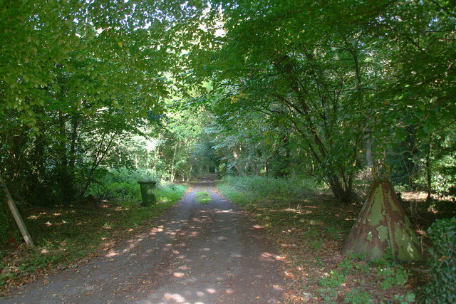
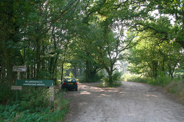
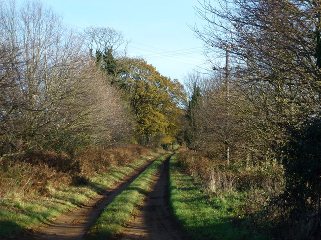
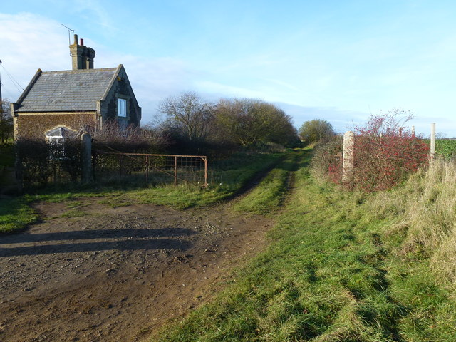
The landscape of East Winch Common offers visitors a peaceful and tranquil atmosphere, making it a popular destination for nature lovers and walkers. The woodland is crisscrossed with well-maintained footpaths, allowing visitors to explore its natural beauty and observe the diverse wildlife.
In addition, the common offers opportunities for recreational activities, such as picnicking, birdwatching, and photography. It is also a favored location for educational visits, providing an ideal setting for studying ecology and the natural environment.
East Winch Common is managed by local authorities and conservation organizations to preserve its unique ecosystem and ensure its long-term sustainability. It serves as an important green space, providing a haven for wildlife and a place for people to connect with nature in the heart of Norfolk.
If you have any feedback on the listing, please let us know in the comments section below.
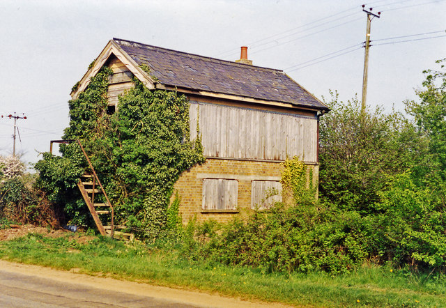
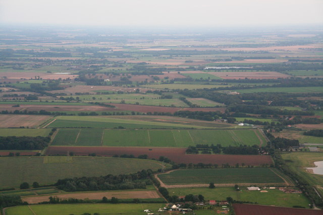
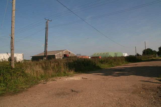
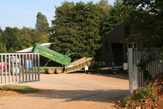
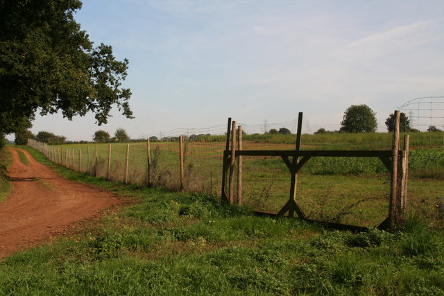
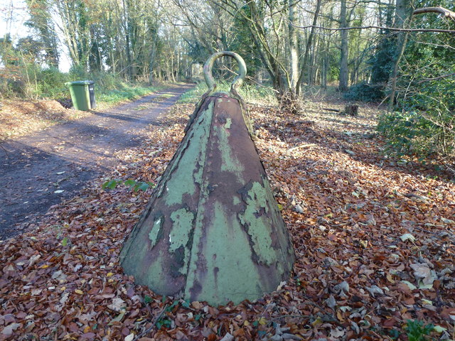
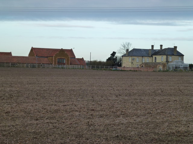
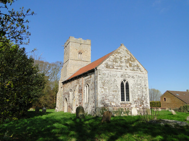
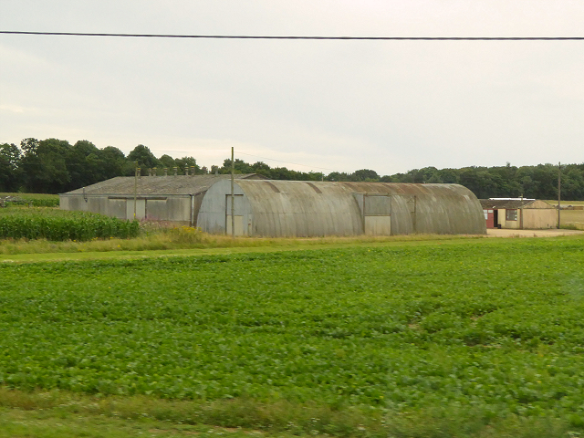
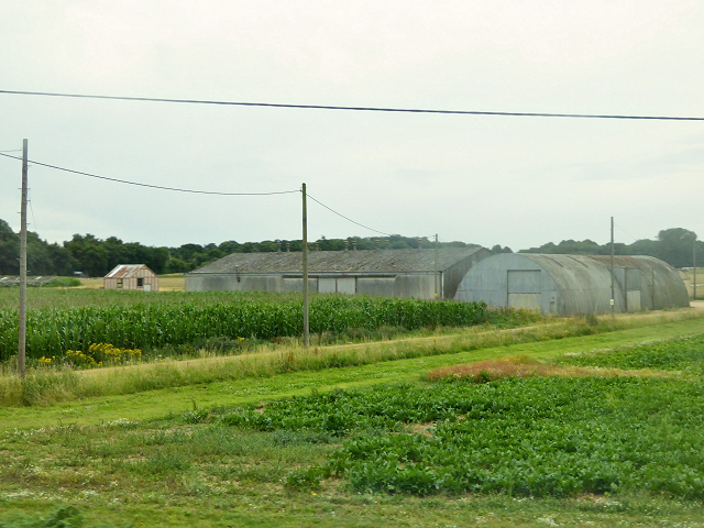
East Winch Common Images
Images are sourced within 2km of 52.712894/0.51646975 or Grid Reference TF7015. Thanks to Geograph Open Source API. All images are credited.


East Winch Common is located at Grid Ref: TF7015 (Lat: 52.712894, Lng: 0.51646975)
Administrative County: Norfolk
District: King's Lynn and West Norfolk
Police Authority: Norfolk
What 3 Words
///handover.embers.attends. Near Narborough, Norfolk
Nearby Locations
Related Wikis
East Winch Common
East Winch Common is a 26.1-hectare (64-acre) biological Site of Special Scientific Interest south-east of King's Lynn in Norfolk. It is common land and...
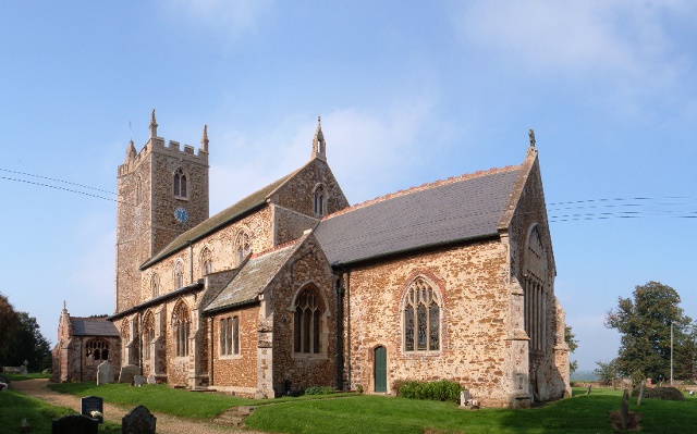
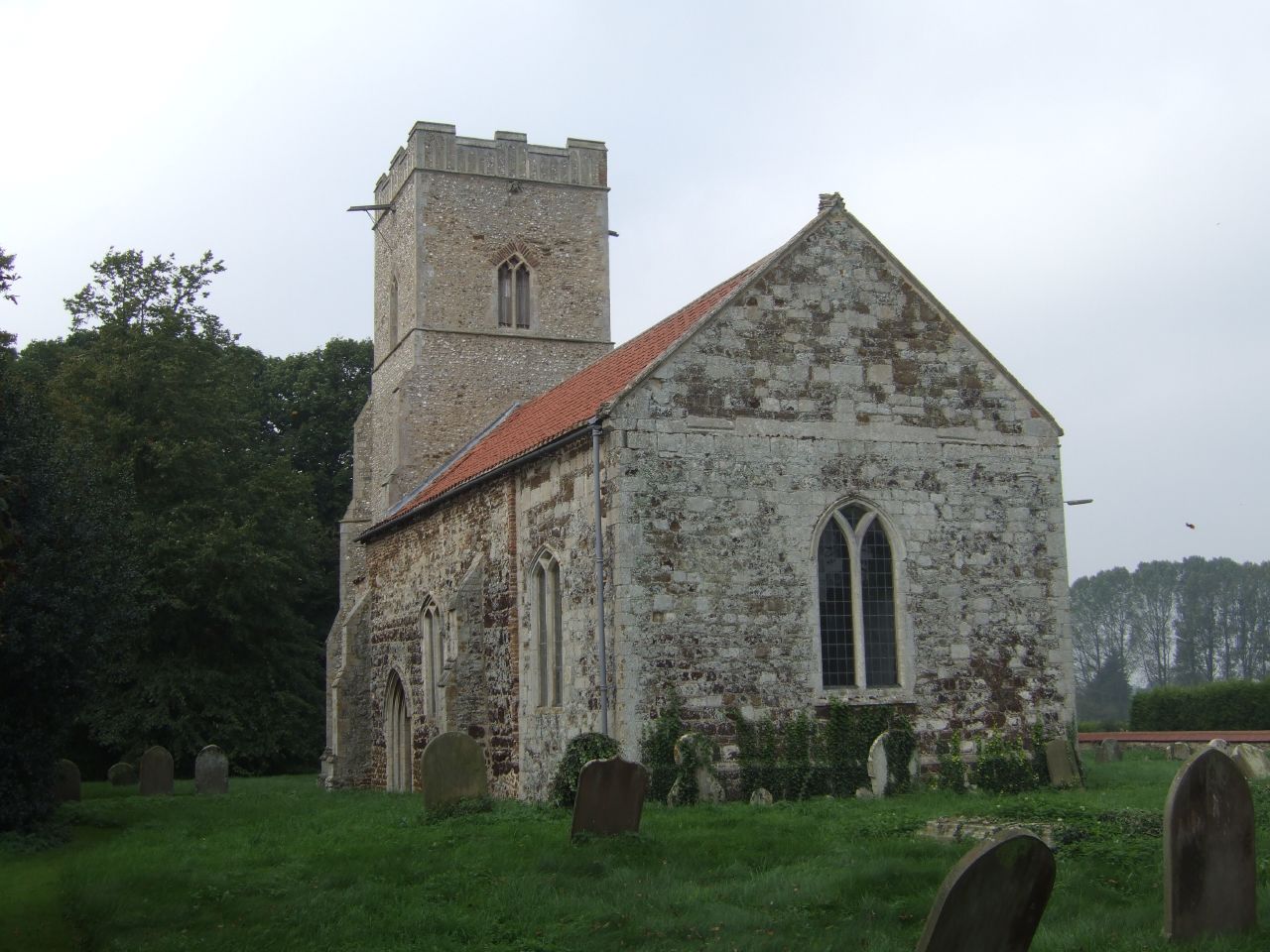
East Winch
East Winch is a village and civil parish in the English county of Norfolk. The village is located 4.9 miles (7.9 km) south-east of King's Lynn and 34 miles...
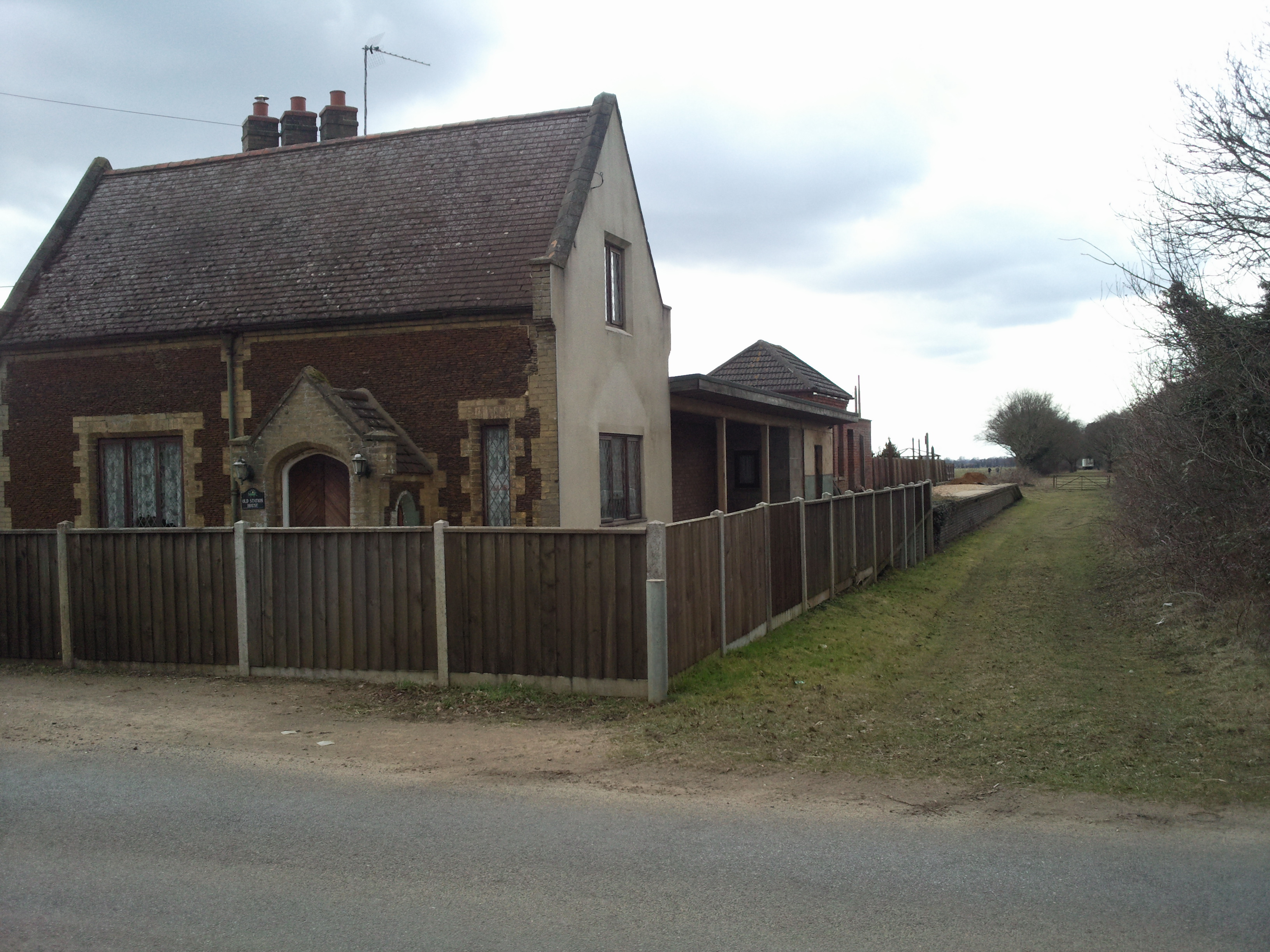
East Winch railway station
East Winch railway station was at East Winch, Norfolk, England on the line between King's Lynn and Swaffham. It closed in 1968. The signal box from the...
West Bilney
West Bilney is a village and former civil parish on the A47 road, 32 miles (51 km) west of Norwich, now in the parish of East Winch, in the King's Lynn...
Nearby Amenities
Located within 500m of 52.712894,0.51646975Have you been to East Winch Common?
Leave your review of East Winch Common below (or comments, questions and feedback).