Sheepbrake Plantation
Wood, Forest in Norfolk King's Lynn and West Norfolk
England
Sheepbrake Plantation
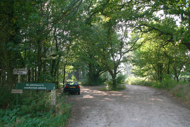
Sheepbrake Plantation is a sprawling woodland estate located in Norfolk, England. Situated in the heart of the picturesque Norfolk countryside, this plantation is known for its diverse range of flora and fauna, making it a haven for nature enthusiasts and conservationists alike.
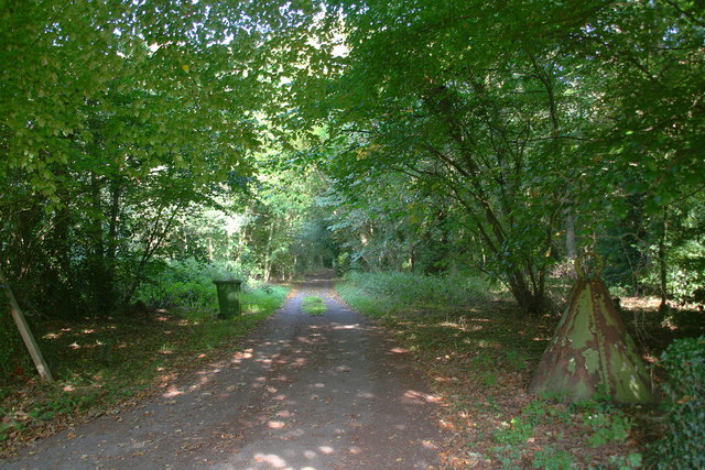
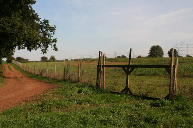
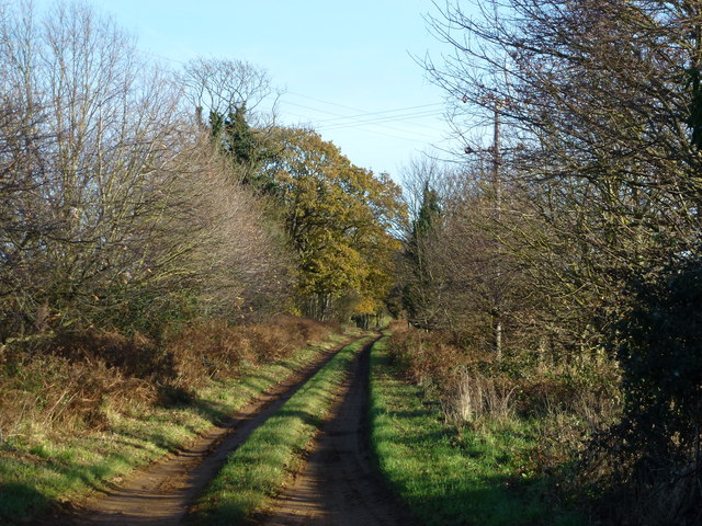
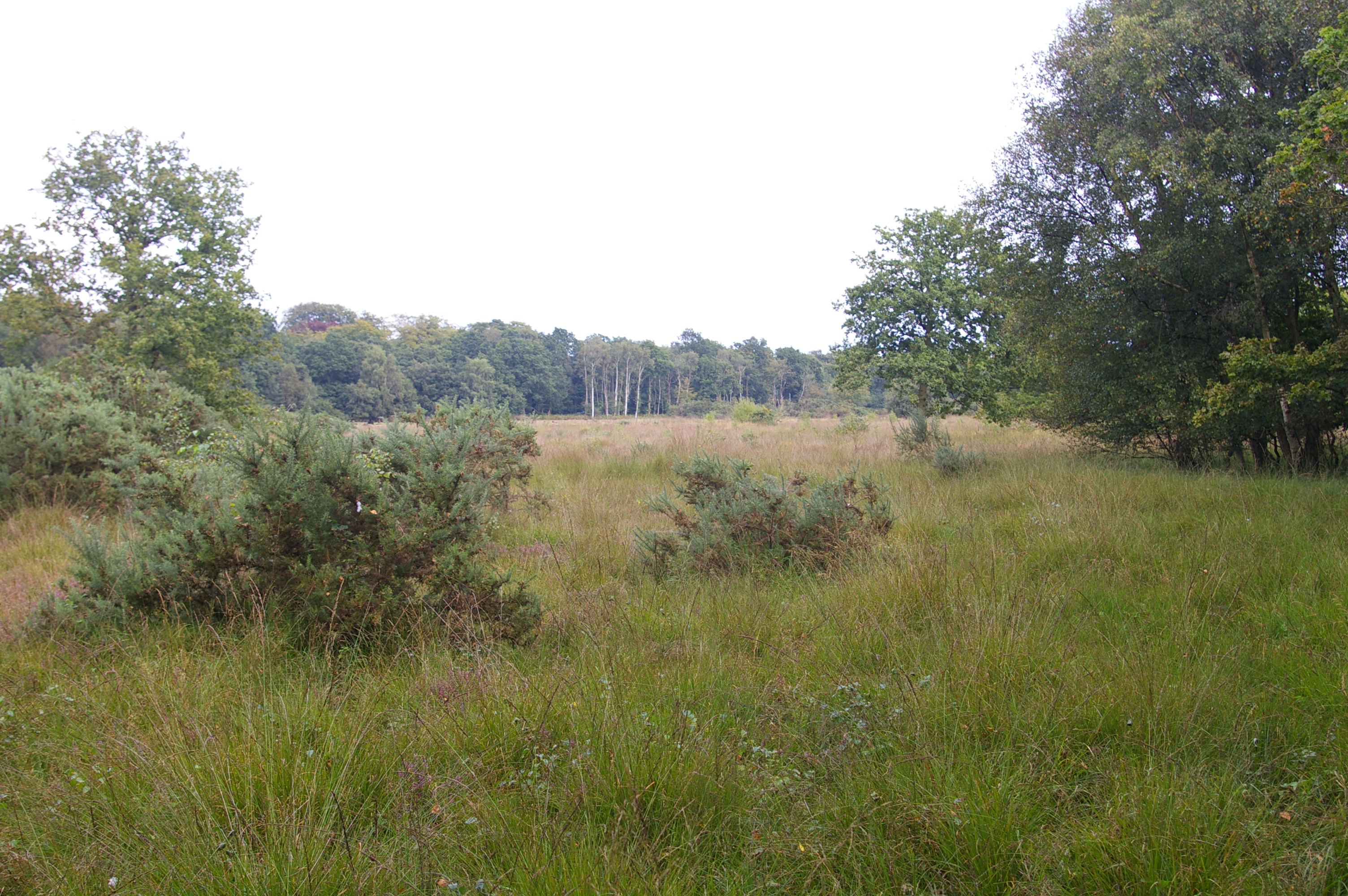
Covering an expansive area of lush greenery, Sheepbrake Plantation is predominantly made up of dense woodlands and forests, providing a natural habitat for a variety of plants and animals. The plantation boasts a rich biodiversity, with a captivating array of plant species, including oak, beech, and birch trees, among others. These trees not only enhance the scenic beauty of the plantation but also provide a vital ecosystem for numerous animal species.
The wildlife found in Sheepbrake Plantation is equally fascinating. Visitors to the estate can expect to encounter a wide range of animals, including deer, foxes, badgers, and an assortment of bird species. Birdwatchers will particularly enjoy exploring the woodland trails, as the plantation serves as a haven for many native and migratory bird populations.
In addition to its natural beauty and wildlife diversity, Sheepbrake Plantation also offers recreational activities for visitors. The expansive woodland trails provide ample opportunities for hiking, jogging, and cycling, allowing visitors to immerse themselves in the serene surroundings while enjoying outdoor pursuits.
Overall, Sheepbrake Plantation is a captivating woodland estate that offers a unique blend of natural beauty, biodiversity, and recreational activities. Whether one seeks tranquility in nature, wishes to explore diverse wildlife, or simply wants to indulge in outdoor activities, this plantation presents itself as an idyllic destination for nature enthusiasts and adventurers alike.
If you have any feedback on the listing, please let us know in the comments section below.
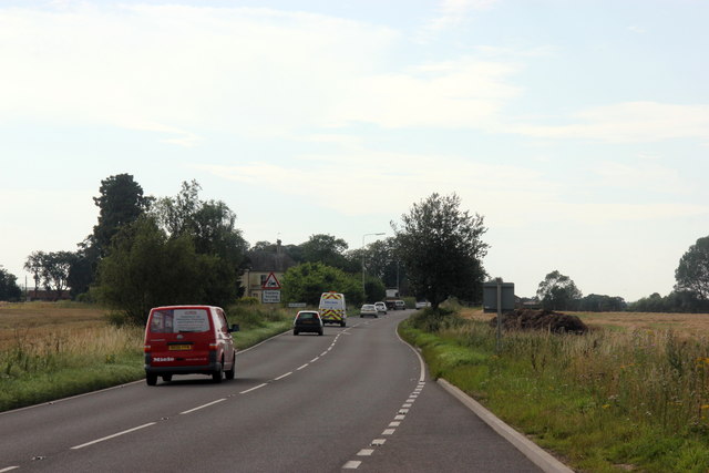
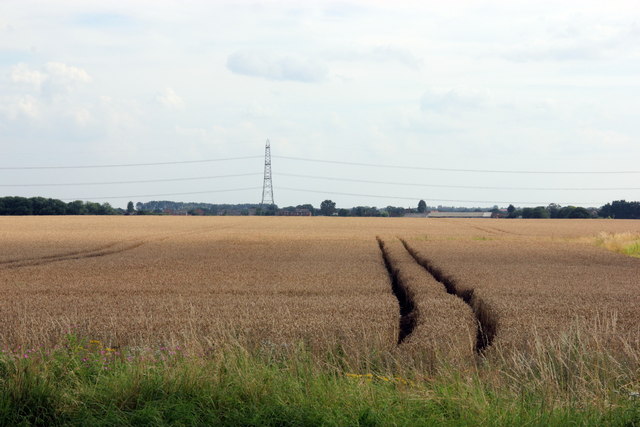
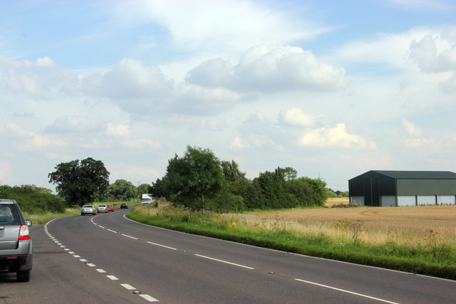
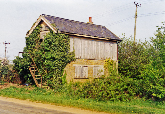
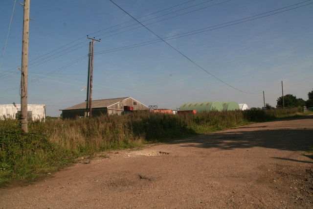
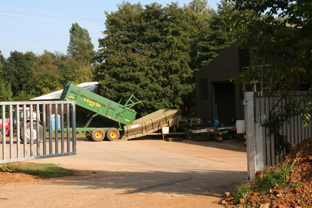
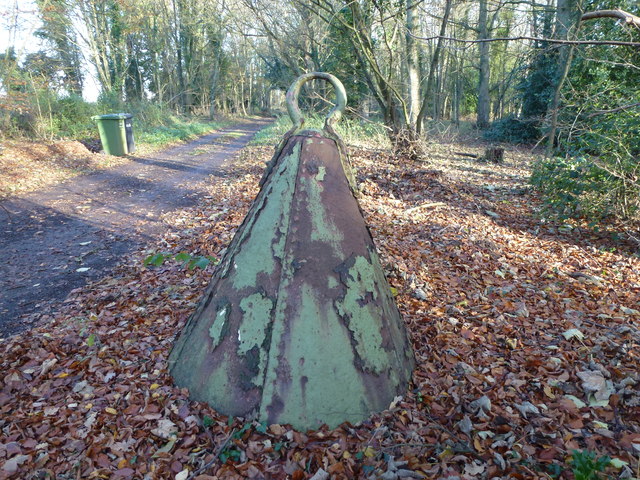
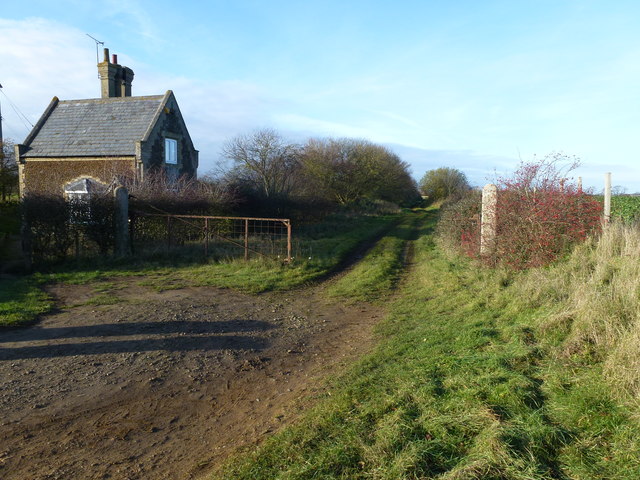
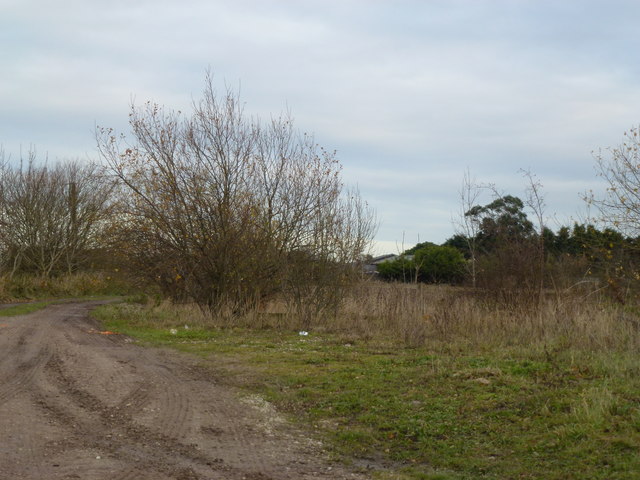
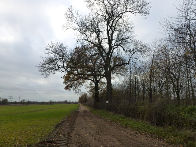
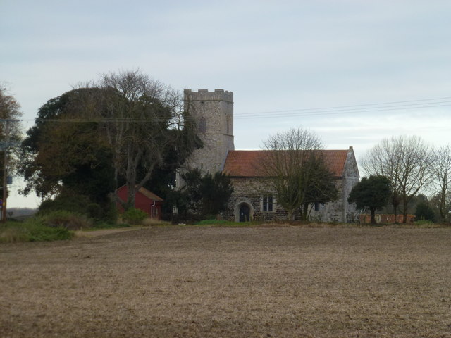
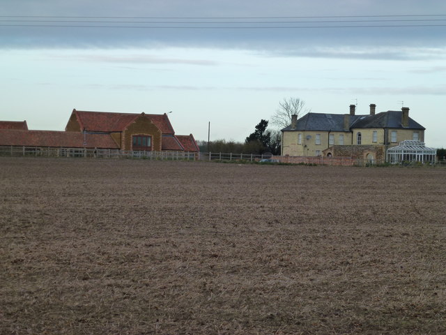
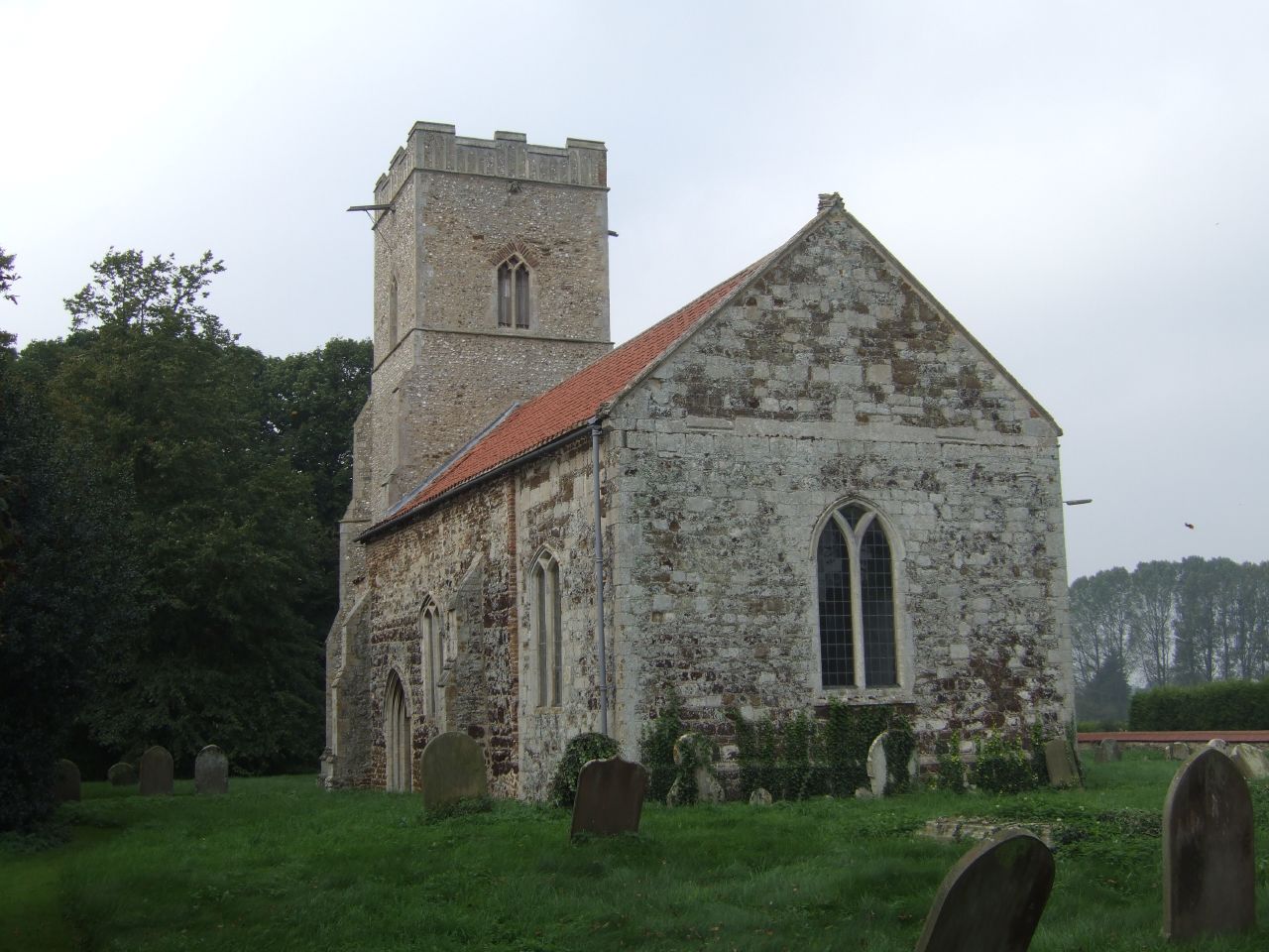
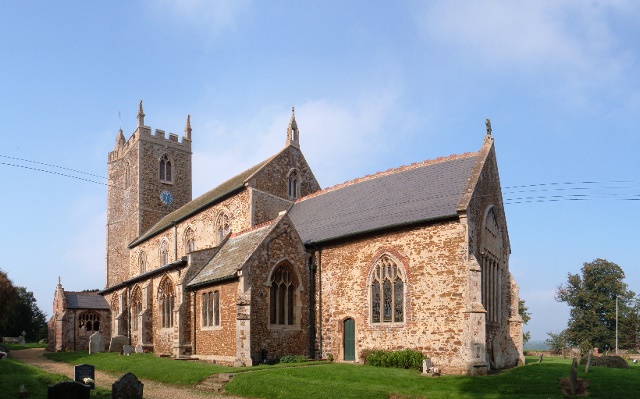
Sheepbrake Plantation Images
Images are sourced within 2km of 52.706231/0.52073463 or Grid Reference TF7015. Thanks to Geograph Open Source API. All images are credited.

Sheepbrake Plantation is located at Grid Ref: TF7015 (Lat: 52.706231, Lng: 0.52073463)
Administrative County: Norfolk
District: King's Lynn and West Norfolk
Police Authority: Norfolk
What 3 Words
///gravitate.haggle.stared. Near Narborough, Norfolk
Nearby Locations
Related Wikis
East Winch Common
East Winch Common is a 26.1-hectare (64-acre) biological Site of Special Scientific Interest south-east of King's Lynn in Norfolk. It is common land and...
West Bilney
West Bilney is a village and former civil parish on the A47 road, 32 miles (51 km) west of Norwich, now in the parish of East Winch, in the King's Lynn...
East Winch
East Winch is a village and civil parish in the English county of Norfolk. The village is located 4.9 miles (7.9 km) south-east of King's Lynn and 34 miles...
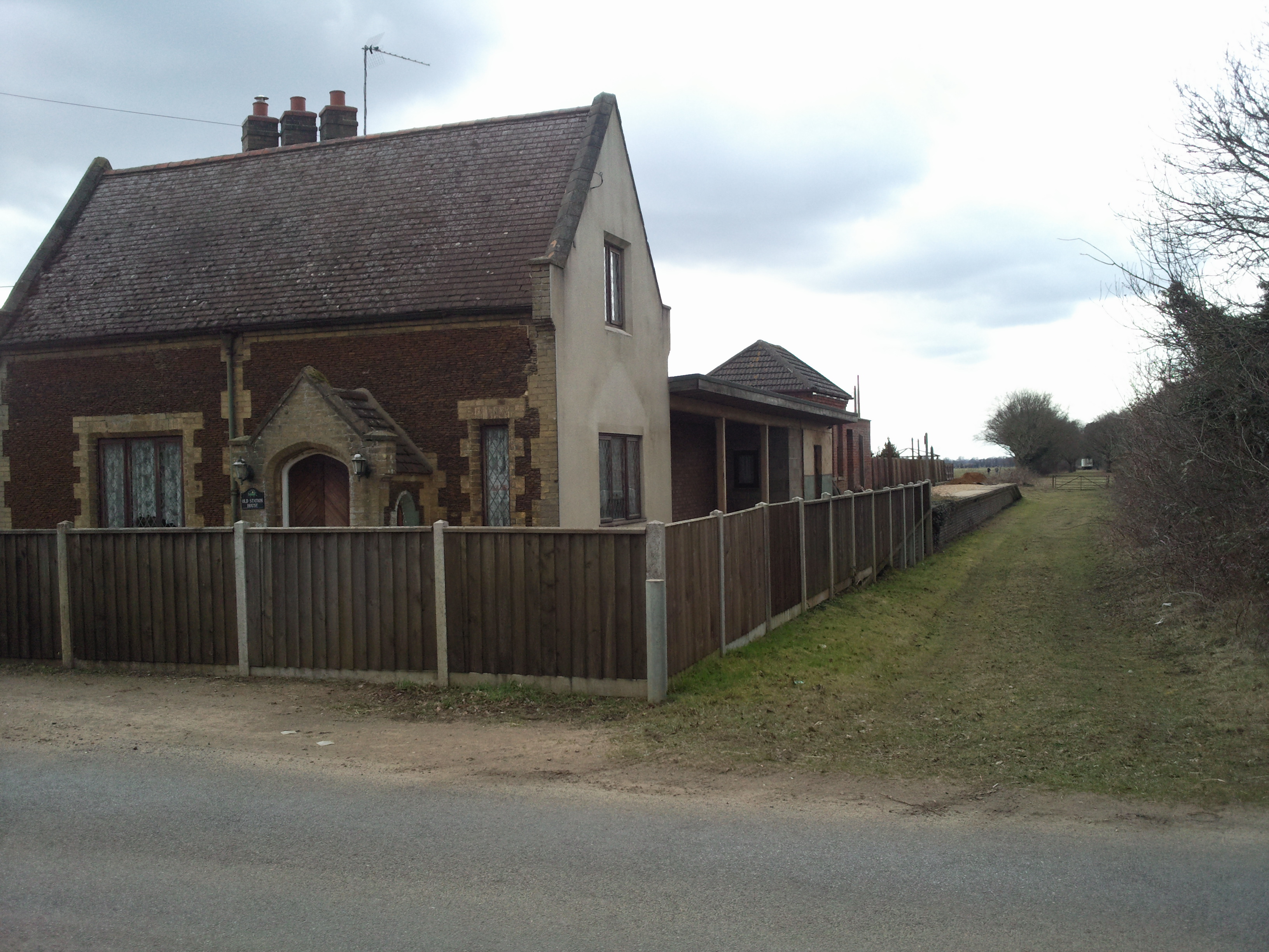
East Winch railway station
East Winch railway station was at East Winch, Norfolk, England on the line between King's Lynn and Swaffham. It closed in 1968. The signal box from the...

Bilney railway station
Bilney railway station was located on the line between East Winch and Narborough and Pentney. It served the village of West Bilney, and closed in 1866...
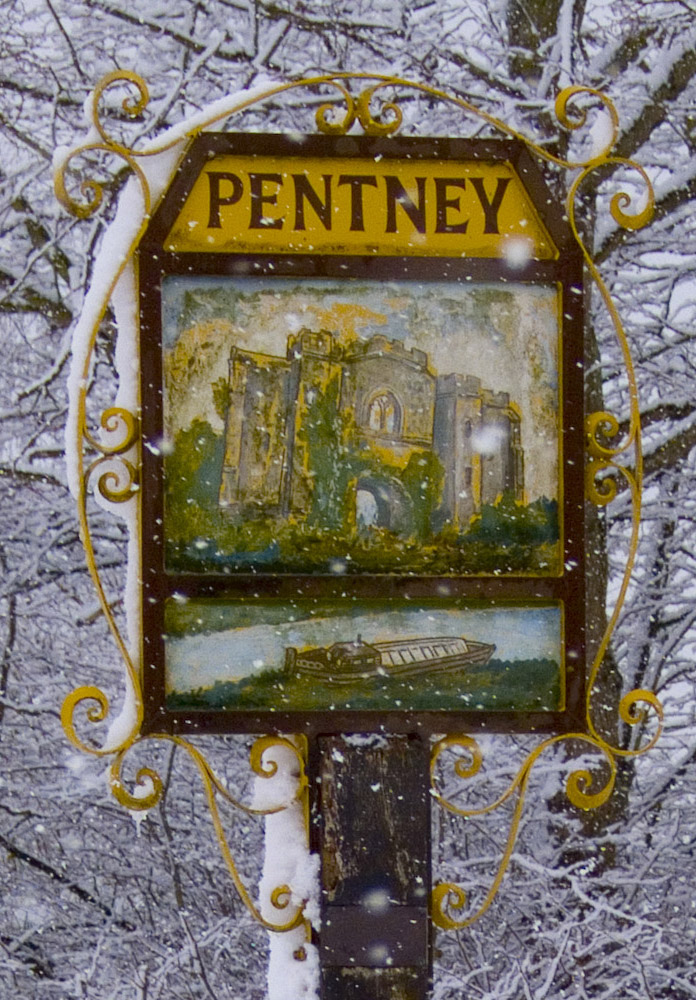
Pentney
Pentney is a village and civil parish in the English county of Norfolk, located about 8 miles (13 km) south east of King's Lynn placing it about halfway...
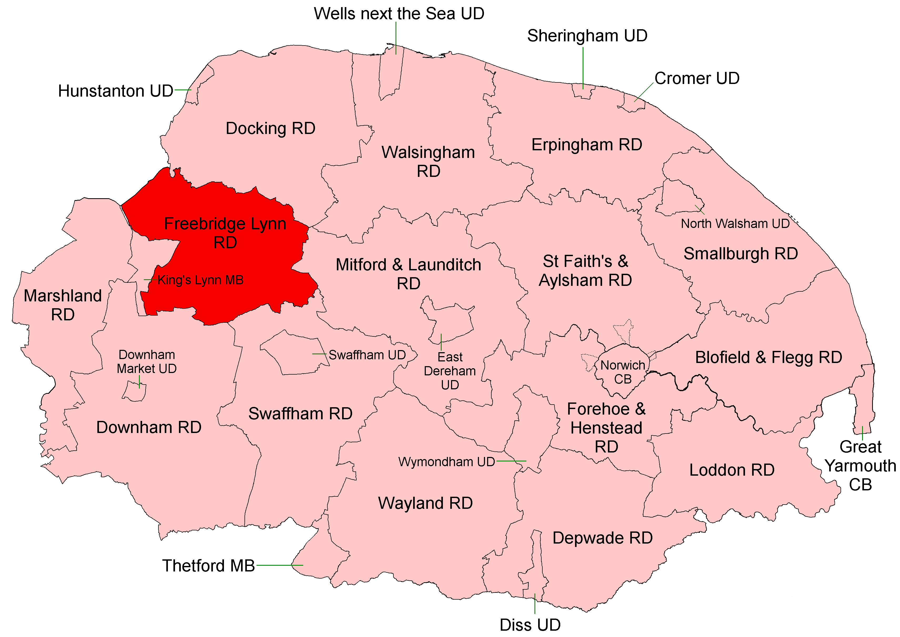
Freebridge Lynn Rural District
Freebridge Lynn Rural District was a rural district in Norfolk, England from 1894 to 1974.It was formed under the Local Government Act 1894 based on the...

Docking Rural District
Docking Lynn Rural District was a rural district in Norfolk, England from 1894 to 1974.It was formed under the Local Government Act 1894 based on the Docking...
Nearby Amenities
Located within 500m of 52.706231,0.52073463Have you been to Sheepbrake Plantation?
Leave your review of Sheepbrake Plantation below (or comments, questions and feedback).