Alder Carr
Wood, Forest in Norfolk King's Lynn and West Norfolk
England
Alder Carr
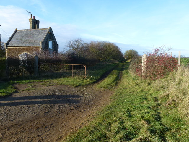
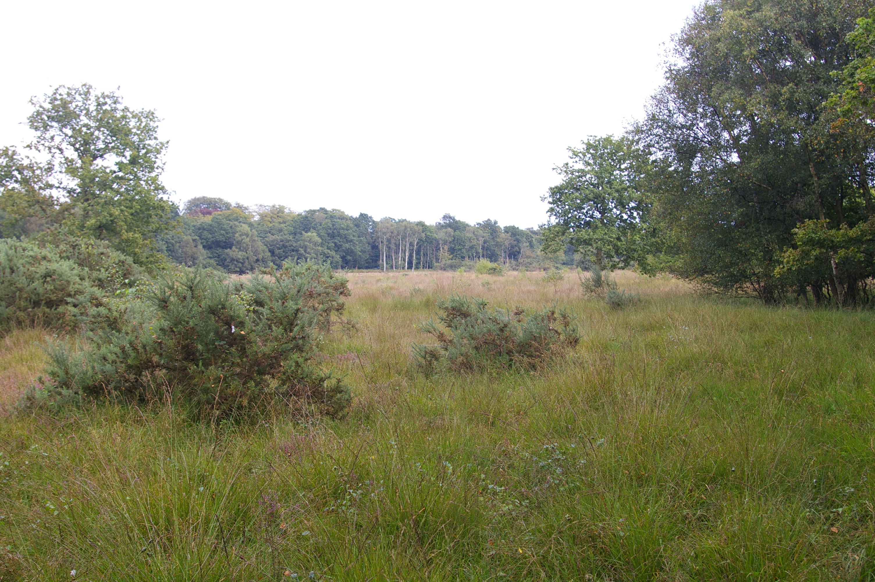
Alder Carr, Norfolk is a picturesque wood and forest area located in the eastern part of England. This enchanting natural site covers an extensive area, providing visitors with a tranquil and serene environment to explore and connect with nature.
The name "Alder Carr" refers to the presence of alder trees in the forest, which are known for their affinity to wet and marshy areas. The wood features a diverse range of flora and fauna, making it an ideal habitat for various species. Visitors can expect to encounter a rich assortment of plants, including bluebells, primroses, and foxgloves, creating a vibrant and colorful landscape during the blooming seasons.
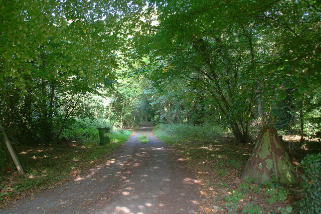
The forest is crisscrossed by numerous footpaths and trails, allowing visitors to indulge in long walks or hikes while immersing themselves in the beauty of nature. The area is also home to several bird species, making it a haven for birdwatching enthusiasts. One can spot birds such as woodpeckers, warblers, and kingfishers, among others.
Alder Carr offers more than just natural beauty; it also provides a range of recreational activities for visitors. There are designated areas for picnics and barbecues, where families and friends can enjoy a day out in the heart of the forest. Additionally, the forest is a popular spot for camping and fishing, providing a peaceful retreat for those seeking a closer connection with the outdoors.
Overall, Alder Carr, Norfolk is a captivating wood and forest area that offers a delightful escape from the hustle and bustle of everyday life. Its natural beauty, diverse wildlife, and recreational opportunities make it a must-visit destination for nature enthusiasts and families alike.
If you have any feedback on the listing, please let us know in the comments section below.
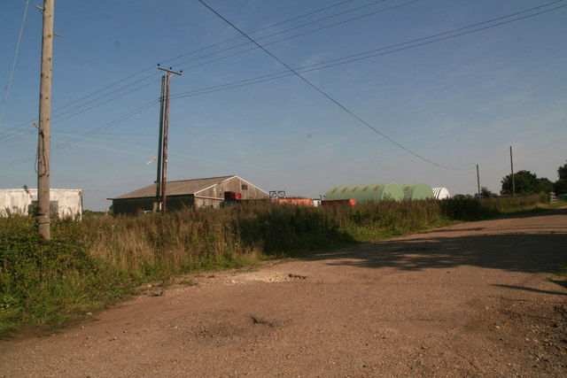
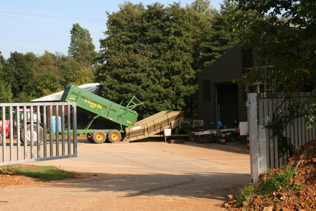
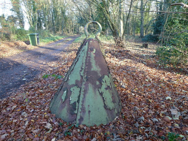
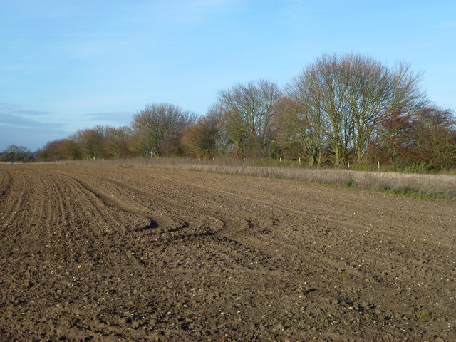
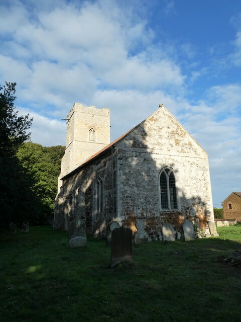
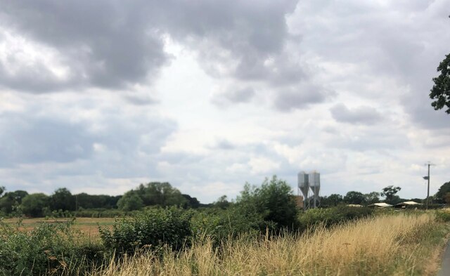
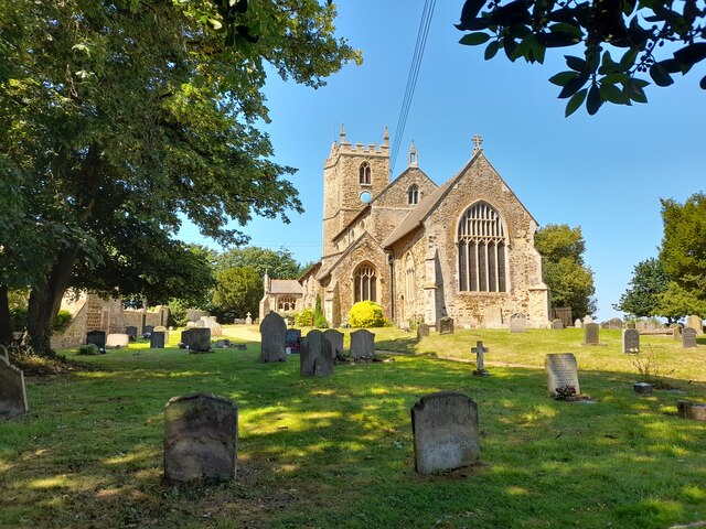
Alder Carr Images
Images are sourced within 2km of 52.721148/0.52159504 or Grid Reference TF7016. Thanks to Geograph Open Source API. All images are credited.


Alder Carr is located at Grid Ref: TF7016 (Lat: 52.721148, Lng: 0.52159504)
Administrative County: Norfolk
District: King's Lynn and West Norfolk
Police Authority: Norfolk
What 3 Words
///identify.discloses.scrap. Near Narborough, Norfolk
Nearby Locations
Related Wikis
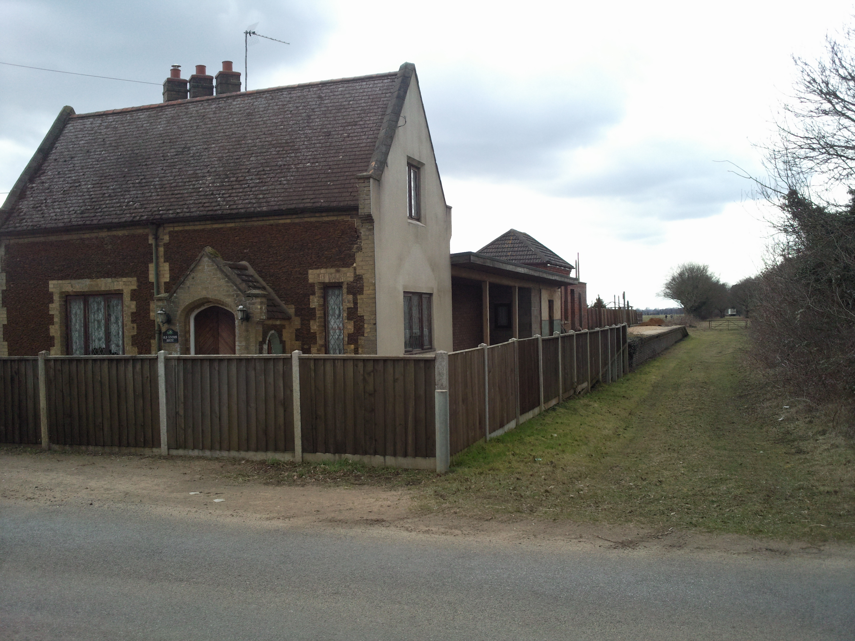
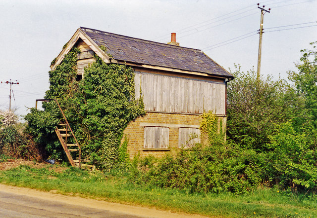
East Winch railway station
East Winch railway station was at East Winch, Norfolk, England on the line between King's Lynn and Swaffham. It closed in 1968. The signal box from the...
East Winch Common
East Winch Common is a 26.1-hectare (64-acre) biological Site of Special Scientific Interest south-east of King's Lynn in Norfolk. It is common land and...
East Winch
East Winch is a village and civil parish in the English county of Norfolk. The village is located 4.9 miles (7.9 km) south-east of King's Lynn and 34 miles...
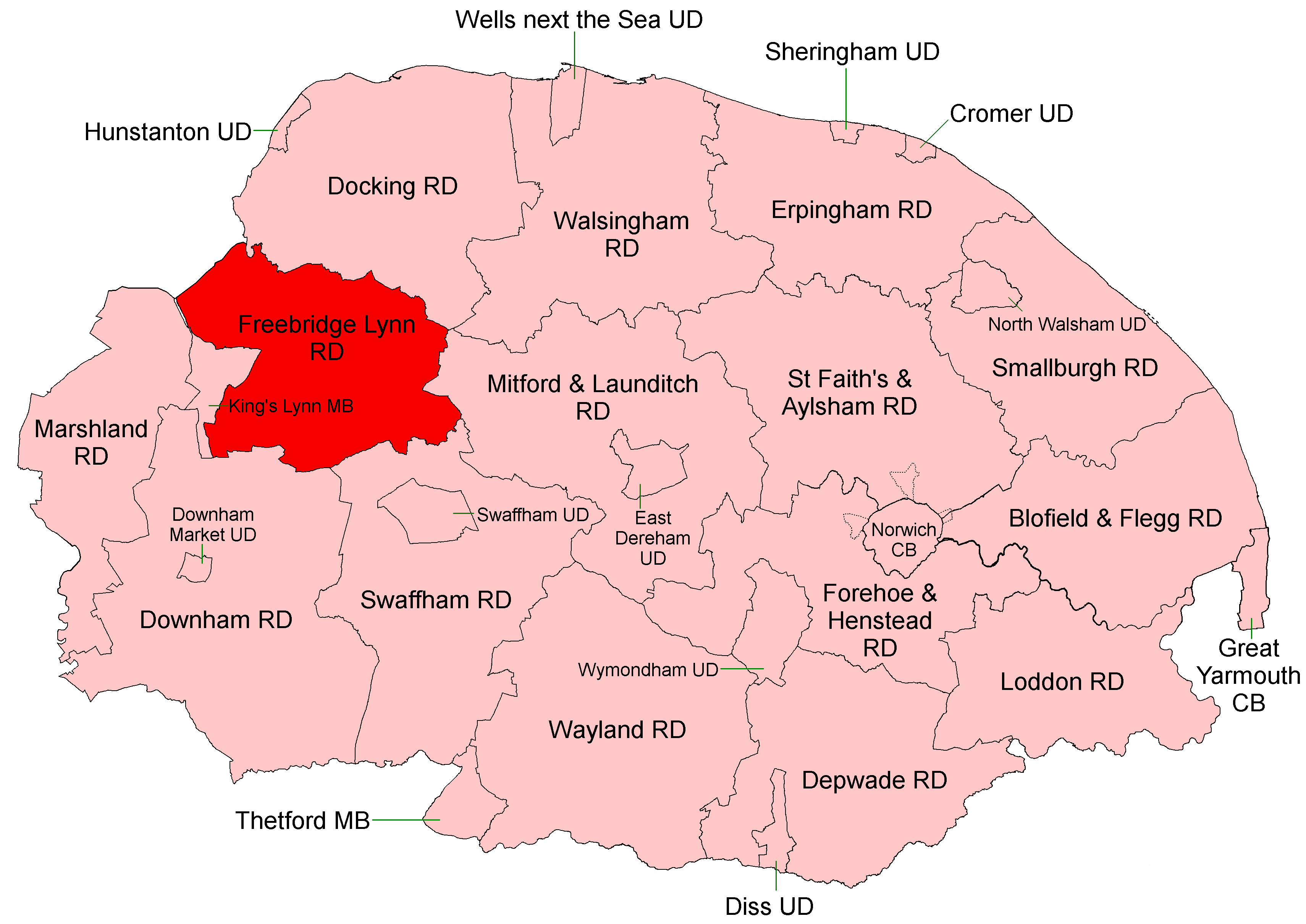
Freebridge Lynn Rural District
Freebridge Lynn Rural District was a rural district in Norfolk, England from 1894 to 1974.It was formed under the Local Government Act 1894 based on the...

Docking Rural District
Docking Lynn Rural District was a rural district in Norfolk, England from 1894 to 1974.It was formed under the Local Government Act 1894 based on the Docking...
West Bilney
West Bilney is a village and former civil parish on the A47 road, 32 miles (51 km) west of Norwich, now in the parish of East Winch, in the King's Lynn...
Ashwicken
Ashwicken is a small village and former civil parish, now in the parish of Leziate, in the King's Lynn and West Norfolk district, in the county of Norfolk...

Bilney railway station
Bilney railway station was located on the line between East Winch and Narborough and Pentney. It served the village of West Bilney, and closed in 1866...
Related Videos
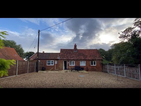
Hadleigh Farm Cottage: Holiday Cottage, Ashwicken, King’s Lynn, Norfolk
Arriving at our holiday cottage, on a working farm, while on holiday in North Norfolk, England for the week.
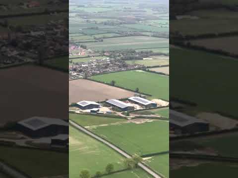
Flying past the village of Gayton Norfolk
Joining down wind for runway 10 at East Winch takes you abeam the village of Gayton in Norfolk.
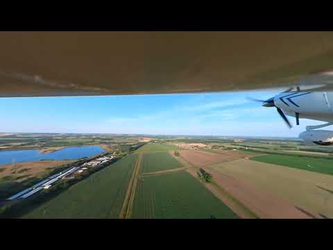
Europa XS Landing RW 10 East Winch
Loving playing with the Insta360 One RS, here is a short video of me landing our Europa XS Trigear.
I fly to East Winch in the Sherwood Kub SSDR Ultralight
I fly the Sherwood Kub to East Winch and nice little flight, past Norwich with the SSDR (ultralight). It is within the Marham MATZ.
Nearby Amenities
Located within 500m of 52.721148,0.52159504Have you been to Alder Carr?
Leave your review of Alder Carr below (or comments, questions and feedback).