Nuns Wood

Wood, Forest in Suffolk West Suffolk

England

Nuns Wood

Newmarket Road at the Kentford Interchange You can't see the interchange as it goes under the road.
Newmarket Road at the Kentford Interchange Credit: David Howard

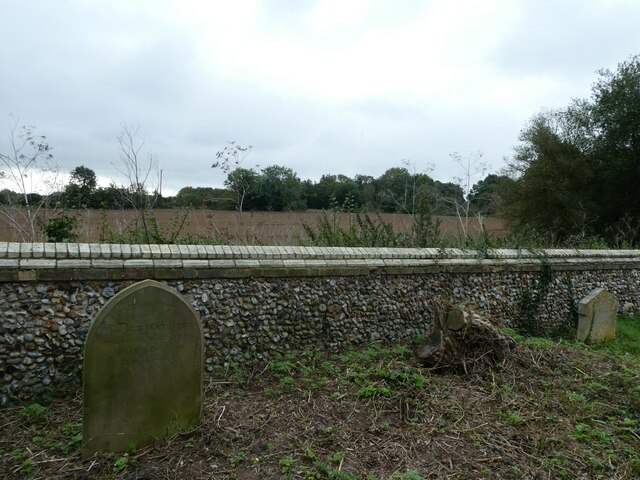
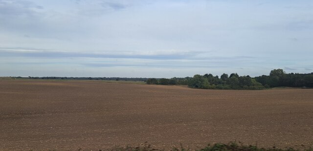
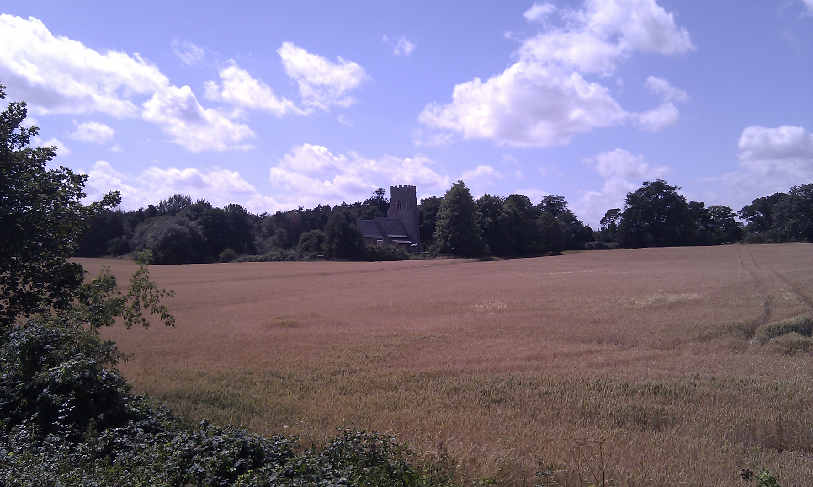
Nuns Wood, located in Suffolk, England, is a picturesque woodland area known for its natural beauty and rich biodiversity. Covering an area of approximately 100 hectares, this ancient wood offers a peaceful retreat for nature lovers and outdoor enthusiasts alike.

The wood features a diverse range of tree species including oak, beech, and birch, creating a stunning canopy that provides shade and shelter for the abundant wildlife that calls Nuns Wood home. Bluebells carpet the forest floor during springtime, adding a vibrant burst of color to the landscape.

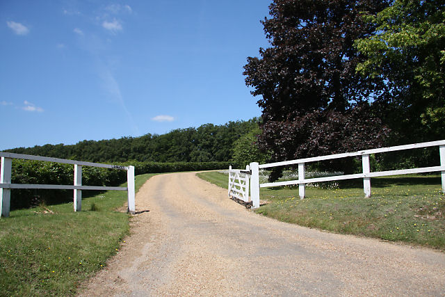
Walking through Nuns Wood, visitors can enjoy a network of well-maintained paths and trails that wind through the trees, allowing them to explore the area at their own pace. The wood is also home to a variety of wildlife, including deer, foxes, badgers, and a wide array of bird species such as woodpeckers and owls.

Nuns Wood is a popular destination for birdwatchers as it serves as a nesting site for several rare and protected species. The tranquil atmosphere and abundance of flora and fauna make it an ideal spot for nature photography and wildlife observation.

Managed by a local conservation organization, Nuns Wood is carefully preserved to maintain its natural integrity and protect its delicate ecosystems. Regular events and guided walks are organized to educate visitors about the importance of conservation and the wood's unique ecology.

Overall, Nuns Wood offers a serene and enchanting experience for nature enthusiasts, providing a glimpse into the rich natural heritage of Suffolk.

If you have any feedback on the listing, please let us know in the comments section below.

Nuns Wood Images

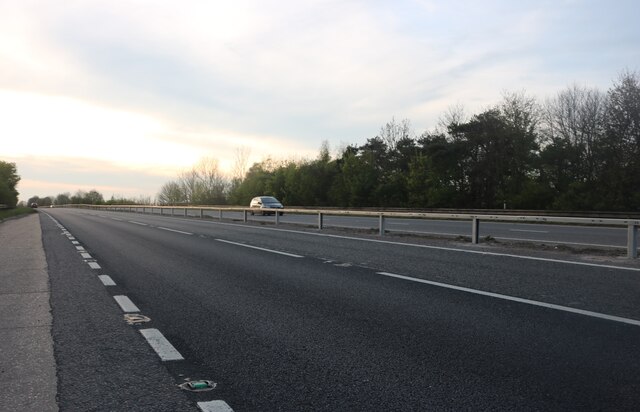
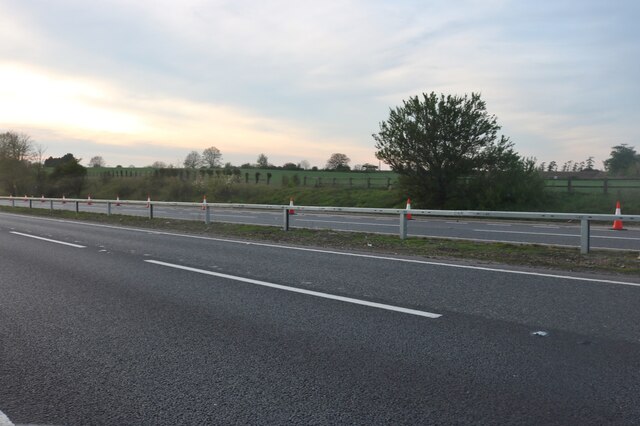
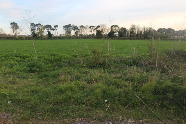
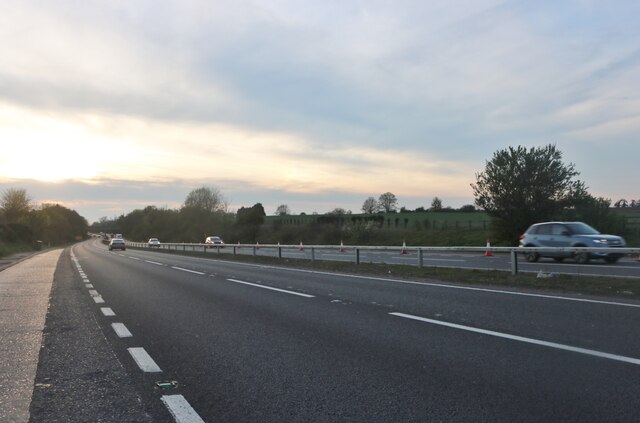
Images are sourced within 2km of 52.27634/0.49623272 or Grid Reference TL7067. Thanks to Geograph Open Source API. All images are credited.

Newmarket Road at the Kentford Interchange You can't see the interchange as it goes under the road.
Newmarket Road at the Kentford Interchange
You can't see the interchange as it goes under the road.
Newmarket Road, Kentford
Field by Newmarket Road, Kentford
Newmarket Road, Kentford
View up the hill into Kentford The road here is the former east-west road across Suffolk (now the A14), superseded now by the Newmarket bypass.
View up the hill into Kentford
The road here is the former east-west road across Suffolk (now the A14), superseded now by the Newmarket bypass.
Farmland seen from the back of Kennett Churchyard
Fields north of Kentford, from the railway
Layby on Newmarket Road, Kennett
Newmarket Road, Kennett
Autumn in Kennett Churchyard Despite the balmy weather, autumn is here in the picture although that chill in my bones was pleasingly absent!
Autumn in Kennett Churchyard
Despite the balmy weather, autumn is here in the picture although that chill in my bones was pleasingly absent!
St Nicholas Kennett: churchyard (a)
St Nicholas Kennett: churchyard (b)
St Nicholas, Kennett: early October 2023
St Nicholas Kennett: churchyard (c)
St Nicholas Kennett: churchyard (d)
Fields south of Kennett, from the railway Houses on Kennett's Station Road can be seen on the extreme right.
Fields south of Kennett, from the railway
Houses on Kennett's Station Road can be seen on the extreme right.
Show me another place!

Nuns Wood is located at Grid Ref: TL7067 (Lat: 52.27634, Lng: 0.49623272)

Administrative County: Suffolk

District: West Suffolk

Police Authority: Suffolk

What 3 Words

///brimmed.strange.looks. Near Newmarket, Suffolk

Nearby Locations

Nuns Wood

Related Wikis

Kennett railway station

Kennett is a railway station serving the villages of Kennett in Cambridgeshire and Kentford in Suffolk, England. It opened in 1854 when the railway was...

Kentford

Kentford is a village and civil parish located in the West Suffolk district of Suffolk in eastern England. Situated on the banks of the River Kennet, the...

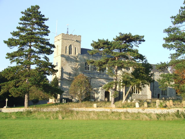
St Nicholas Church, Kennett

St Nicholas Church is the parish church of the village of Kennett in east Cambridgeshire. It has been dedicated to St Nicholas since the 13th century....

Lanwades Stud

Lanwades Stud is a Thoroughbred racehorse ownership and breeding operation in Newmarket, Suffolk, UK, which has bred and owned many notable horses....

Kennett, Cambridgeshire

Kennett is a small village and civil parish at the very eastern tip of Cambridgeshire, England. Situated around 2.5 miles (4.0 km) north-east of Newmarket...

Gazeley Windmill

Gazeley Mill is a tower mill at Gazeley, Suffolk, England which has been converted to residential accommodation. == History == Gazeley Mill was built in...

Moulton, Suffolk

Moulton is a village and civil parish in the West Suffolk district of Suffolk in eastern England, located close to the town of Newmarket. It pre-dates...

Red Lodge Heath

Red Lodge Heath is a 20.8-hectare (51-acre) biological Site of Special Scientific Interest in Red Lodge in Suffolk.Habitats on this site are chalk grassland...

Nearby Amenities

Located within 500m of 52.27634,0.49623272
Traffic Signals
Lat/Long: 52.2770296/0.4912738
Traffic Signals
Lat/Long: 52.2774371/0.4912532
Bus Stop
The Bell
Naptan AtcoCode: 390020133
Naptan Bearing: E
Naptan CommonName: The Bell
Naptan Indicator: adj
Naptan Landmark: The Bell
Naptan NaptanCode: sufajgag
Naptan Street: Bury Road
Naptan Verified: no
Public Transport: platform
Source: naptan_import
Lat/Long: 52.2720783/0.494509
Bus Stop
The Bell
Naptan AtcoCode: 390020134
Naptan Bearing: W
Naptan BusStopType: CUS
Naptan CommonName: The Bell
Naptan Indicator: opp
Naptan Landmark: The Bell
Naptan NaptanCode: sufajgaj
Naptan Street: Bury Road
Naptan Verified: no
Public Transport: platform
Source: naptan_import
Lat/Long: 52.2719977/0.4944898
Bus Stop
Railway Station
Naptan AtcoCode: 0500EKENN002
Naptan Bearing: N
Naptan BusStopType: CUS
Naptan CommonName: Railway Station
Naptan Indicator: near
Naptan Landmark: Railway Station
Naptan NaptanCode: cmbgjdtw
Naptan ShortCommonName: Kennett Railway Station
Naptan Street: Station Road
Naptan Verified: no
Source: naptan_import
Lat/Long: 52.2775265/0.4911645
Bus Stop
Railway Station
Naptan AtcoCode: 0500EKENN003
Naptan Bearing: S
Naptan BusStopType: CUS
Naptan CommonName: Railway Station
Naptan Indicator: opp
Naptan Landmark: Railway Station
Naptan NaptanCode: cmbgjdwa
Naptan ShortCommonName: Kennett Railway Station
Naptan Street: Station Road
Naptan Verified: no
Source: naptan_import
Lat/Long: 52.2775773/0.491314
Bicycle Parking
Capacity: 4
Lat/Long: 52.277365/0.4902489
Parking
Lat/Long: 52.2755907/0.498711
Parking
Lat/Long: 52.2754361/0.4981157
Kennett
Naptan AtcoCode: 9100KENNETT
Network: National Rail
Network Website: https://www.nationalrail.co.uk/stations/kne/
Network Wikidata: Q26334
Public Transport: station
Railway: station
Ref Crs: KNE
Wikidata: Q3926161
Wikipedia: en:Kennett railway station
Lat/Long: 52.2772508/0.4900933
Crossing
Crossing: uncontrolled
Crossing Ref: zebra
Lat/Long: 52.2722545/0.4961497
BY 303
Maxspeed: 75 mph
Railway: signal
Traffic Sign: maxspeed
Lat/Long: 52.27736/0.4896163
P2
Public Transport: stop_position
Railway: stop
Train: yes
Lat/Long: 52.2772937/0.48958
P1
Public Transport: stop_position
Railway: stop
Train: yes
Lat/Long: 52.2772138/0.4908727
The data included in this document is from www.openstreetmap.org. The data is made available under ODbL.

Have you been to Nuns Wood?

Leave your review of Nuns Wood below (or comments, questions and feedback).