East Hunsbury

Civil Parish in Northamptonshire

England

East Hunsbury

A45 westbound
A45 westbound Credit: Alex McGregor

East Hunsbury is a civil parish located in the county of Northamptonshire, England. It is situated approximately 3 miles south of the town center of Northampton, the county's administrative center. The parish covers an area of around 3 square miles.

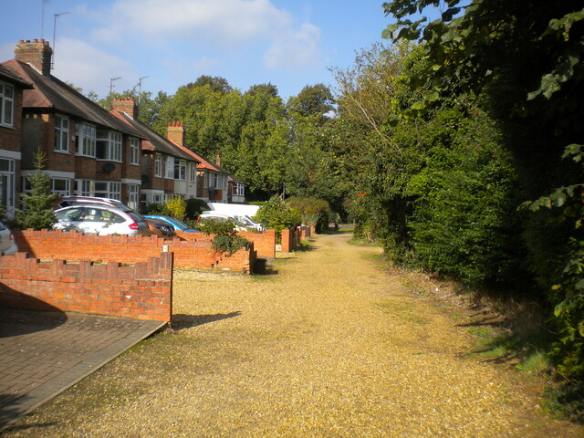
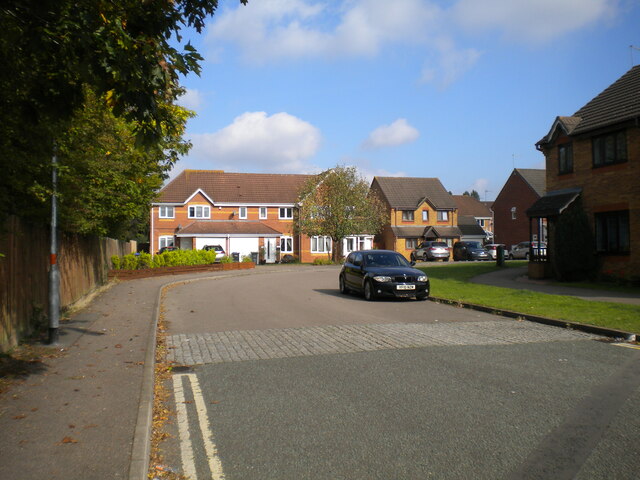
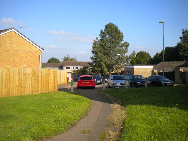
East Hunsbury is a residential area that mainly comprises modern housing developments, with a mix of detached houses, semi-detached houses, and apartments. The area is known for its family-friendly atmosphere and well-maintained green spaces. The local housing stock is varied, with a range of property sizes and styles to suit different needs and budgets.

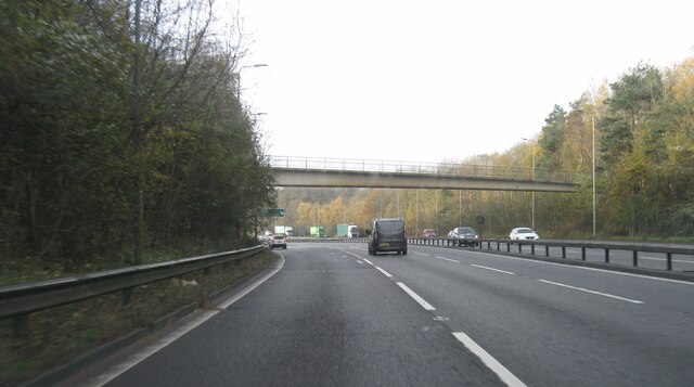
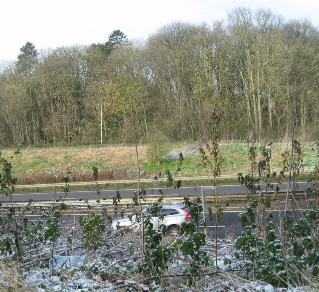
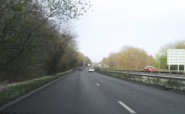
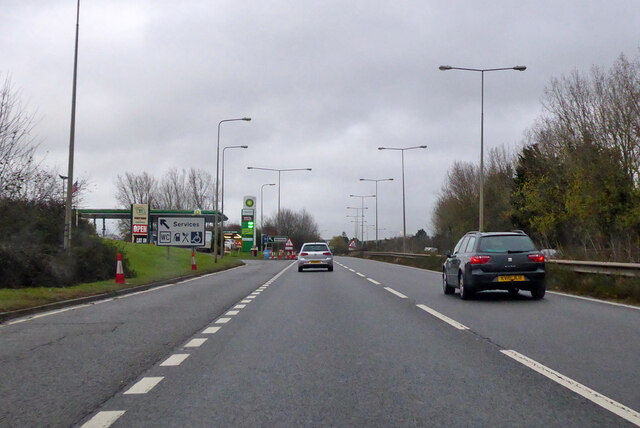
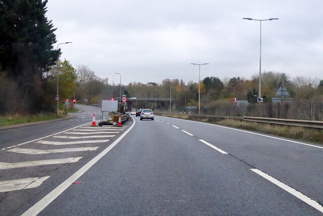
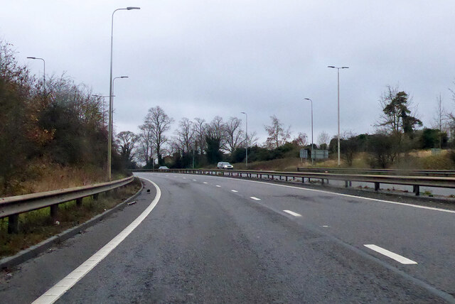
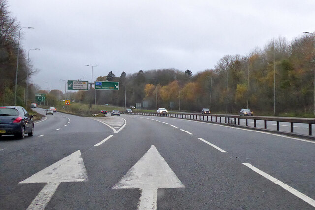
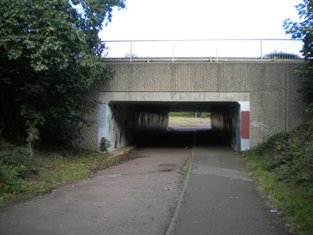
The parish benefits from good transport links, with the A45 dual carriageway passing through it, providing convenient access to major roads such as the M1 motorway. There are also regular bus services connecting East Hunsbury to Northampton and surrounding areas.

East Hunsbury offers a range of amenities and facilities to its residents. There are several schools in the area, including East Hunsbury Primary School and Caroline Chisholm School, providing education for children of all ages. The area also features a community center, a medical center, and a variety of shops, including a large supermarket.

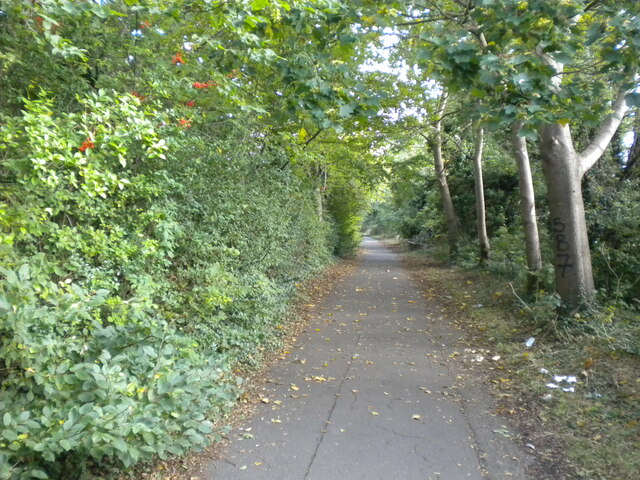
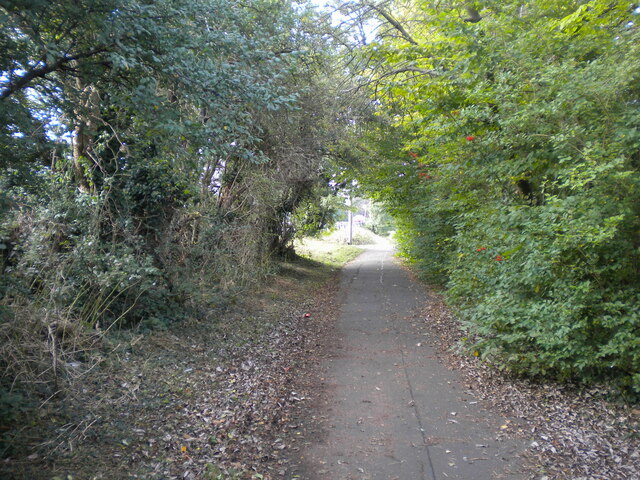
For outdoor enthusiasts, East Hunsbury boasts several green spaces, including Hunsbury Hill Country Park. This park offers picturesque views, walking trails, and picnic areas, making it a popular spot for locals to enjoy nature and outdoor activities.

Overall, East Hunsbury is a well-connected and family-friendly area with a range of amenities, making it an attractive place to live in Northamptonshire.

If you have any feedback on the listing, please let us know in the comments section below.

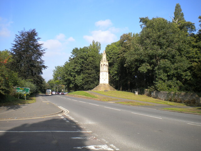
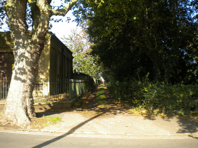
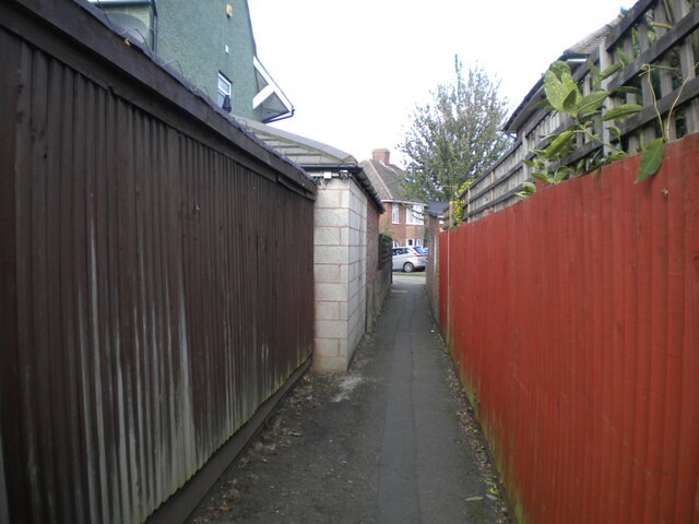
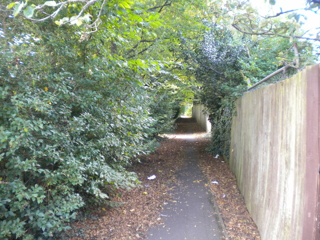
East Hunsbury Images

Images are sourced within 2km of 52.209031/-0.908411 or Grid Reference SP7457. Thanks to Geograph Open Source API. All images are credited.

A45 westbound
A45 westbound
View over A45
View over A45
A5076 Danes Camp Way
Southbound A45 London Road Approaching the M1.
Southbound A45 London Road
Approaching the M1.
Southbound A45 London Road By the exit to Wootton.
Southbound A45 London Road
By the exit to Wootton.
Southbound A45 About where its name changes from Nene Valley Way to London Road.
Southbound A45
About where its name changes from Nene Valley Way to London Road.
A45 Nene Valley Way At the exit for the A5076 which continues the southern outer ring around Northampton.
A45 Nene Valley Way
At the exit for the A5076 which continues the southern outer ring around Northampton.
Lane parallel to London Road, Far Cotton Not really grand enough to be described as a service road, and separated from London Road by the tall greenery on the right.
Lane parallel to London Road, Far Cotton
Not really grand enough to be described as a service road, and separated from London Road by the tall greenery on the right.
London Road, Far Cotton Looking towards Northampton town centre from the junction with Parkfield Avenue, with Queen Eleanor's Cross visible on the right on the edge of Delapre Park.
London Road, Far Cotton
Looking towards Northampton town centre from the junction with Parkfield Avenue, with Queen Eleanor's Cross visible on the right on the edge of Delapre Park.
Back lane off Parkfield Avenue, Far Cotton Sneaking off past a transformer station (left) to pass between the back gardens of houses on Parkfield Avenue and London Road.
Back lane off Parkfield Avenue, Far Cotton
Sneaking off past a transformer station (left) to pass between the back gardens of houses on Parkfield Avenue and London Road.
Footpath to Winchester Road, Far Cotton Off the footpath and cycleway that parallel Mere Way.
Footpath to Winchester Road, Far Cotton
Off the footpath and cycleway that parallel Mere Way.
Footpath parallel to Mere Way, Far Cotton (1) Visually (but sadly not aurally) separated from the busy dual carriageway by somewhat overgrown vegetation (left).
Footpath parallel to Mere Way, Far Cotton (1)
Visually (but sadly not aurally) separated from the busy dual carriageway by somewhat overgrown vegetation (left).
Footpath parallel to Mere Way, Far Cotton (2) Sandwiched between the busy dual carriageway (right) and Abbeyfield School (left).
Footpath parallel to Mere Way, Far Cotton (2)
Sandwiched between the busy dual carriageway (right) and Abbeyfield School (left).
Footpath parallel to Mere Way, Far Cotton (3) Sandwiched between the busy dual carriageway (left) and Abbeyfield School (right).
Footpath parallel to Mere Way, Far Cotton (3)
Sandwiched between the busy dual carriageway (left) and Abbeyfield School (right).
Subway under Mere Way, Merefield Used by a cycleway (left) and footpath.
Subway under Mere Way, Merefield
Used by a cycleway (left) and footpath.
Sandhurst Close, Merefield
Southwood Hill, Briar Hill (1) Part of a complex of roads that are all named Southwood Hill, seen from a footpath linking it with housing off other parts.
Southwood Hill, Briar Hill (1)
Part of a complex of roads that are all named Southwood Hill, seen from a footpath linking it with housing off other parts.
Show me another place!

East Hunsbury is located at Grid Ref: SP7457 (Lat: 52.209031, Lng: -0.908411)

Unitary Authority: West Northamptonshire

Police Authority: Northamptonshire

What 3 Words

///shock.most.cubs. Near Hardingstone, Northamptonshire

Related Wikis

Collingtree

Collingtree is a village and civil parish in the West Northamptonshire district of Northamptonshire, England. It is part of the Northampton built-up area...

East Hunsbury

East Hunsbury is a large residential area in the south of Northampton, England, situated around 3 miles (5 km) from the town centre and 1 mile (2 km) from...

Northamptonshire Record Office

The Northamptonshire Record Office is the county record office for Northamptonshire. The archives are held at Wootton Hall Park, Wootton, Northampton,...

Abbeyfield School, Northampton

Abbeyfield School is a mixed secondary school and sixth form located in Northampton in the English county of Northamptonshire. It was previously known...

Nearby Amenities

Located within 500m of 52.209031,-0.908411
Crossing
Crossing: zebra
Crossing Island: no
Tactile Paving: yes
Lat/Long: 52.2130762/-0.9108245
Mini Roundabout
Direction: clockwise
Lat/Long: 52.2054639/-0.9069861
Crossing
Crossing: zebra
Crossing Island: no
Kerb: lowered
Tactile Paving: yes
Traffic Calming: table
Lat/Long: 52.2051517/-0.9057396
Crossing
Crossing: zebra
Crossing Island: no
Kerb: lowered
Tactile Paving: yes
Lat/Long: 52.2065427/-0.9057489
East Hunsbury
Is In: Northampton
Place: suburb
Lat/Long: 52.2098105/-0.9081975
Bus Stop
Harrier Park
Bench: yes
Bin: yes
Bus: yes
Lit: yes
Naptan AtcoCode: 300000088CL
Naptan NaptanCode: nthadmtg
Passenger Information Display: yes
Public Transport: platform
Shelter: yes
Tactile Paving: yes
Lat/Long: 52.2119621/-0.9057095
Post Box
Collection Times: Mo-Fr 09:00; Sa 07:00
Ref: NN4 417
Royal Cypher: EIIR
Royal Cypher Wikidata: Q33102113
Lat/Long: 52.2120762/-0.9067555
Crossing: unmarked
Crossing Island: no
Kerb: lowered
Lat/Long: 52.2091838/-0.9052067
Crossing
Crossing: unmarked
Crossing Island: no
Crossing Markings: no
Kerb: lowered
Tactile Paving: no
Lat/Long: 52.2103865/-0.910814
Barrier: cycle_barrier
Cycle Barrier: triple
Cycle Barrier Installation: fixed
Lat/Long: 52.2108213/-0.9065652
Turning Circle
Lat/Long: 52.2119319/-0.9101776
Crossing: unmarked
Crossing Island: no
Kerb Left: lowered
Lat/Long: 52.2117573/-0.9046231
Turning Circle
Lat/Long: 52.212245/-0.9050902
Turning Circle
Lat/Long: 52.2123058/-0.9061899
Bench
Backrest: yes
Lat/Long: 52.2101492/-0.9129432
Bench
Lat/Long: 52.2101623/-0.9133284
Bench
Lat/Long: 52.21009/-0.9133338
Access: yes
Leisure: playground
Lat/Long: 52.2096462/-0.9058022
Waste Basket
Check Date: 2023-02-25
Lat/Long: 52.20985/-0.9056734
Bench
Lat/Long: 52.2102653/-0.9129207
Bus Stop
Danes Camp Leisure Centre
Bench: no
Bin: no
Bus: yes
Lit: no
Public Transport: platform
Shelter: no
Tactile Paving: yes
Lat/Long: 52.2133646/-0.9096563
Barrier: cycle_barrier
Cycle Barrier: double
Cycle Barrier Installation: fixed
Lat/Long: 52.212117/-0.9061813
Bus Stop
Harrier Park
Bench: no
Bin: no
Bus: yes
Flag: yes
Lit: no
Pole: yes
Public Transport: platform
Shelter: no
Tactile Paving: yes
Lat/Long: 52.2121456/-0.9067422
Crossing
Crossing: zebra
Crossing Island: no
Tactile Paving: yes
Lat/Long: 52.2120339/-0.9061731
Crossing: unmarked
Crossing Island: no
Kerb: lowered
Lat/Long: 52.2085076/-0.9044422
Bus Stop
Skipton Close
Bench: yes
Bin: yes
Bus: yes
Lit: yes
Naptan AtcoCode: 300000107SK
Naptan NaptanCode: nthagjpa
Public Transport: platform
Shelter: yes
Tactile Paving: yes
Lat/Long: 52.2091843/-0.9052968
Post Box
Brand: Royal Mail
Brand Wikidata: Q638098
Brand Wikipedia: en:Royal Mail
Collection Times: Mo-Fr 09:00; Sa 07:00
Operator: Royal Mail
Operator Wikidata: Q638098
Ref: NN4 418
Royal Cypher: EIIR
Royal Cypher Wikidata: Q33102113
Lat/Long: 52.2080383/-0.9120922
Post Box
Brand: Royal Mail
Brand Wikidata: Q638098
Brand Wikipedia: en:Royal Mail
Collection Times: Mo-Fr 09:00; Sa 07:00
Operator: Royal Mail
Operator Wikidata: Q638098
Ref: NN4 443
Royal Cypher: EIIR
Royal Cypher Wikidata: Q33102113
Lat/Long: 52.2070334/-0.9049549
Kindergarten
Simon de Senlis Pre-School
Addr City: Northampton
Addr Country: GB
Addr Postcode: NN4 0PH
Lat/Long: 52.2131355/-0.9105291
Turning Circle
Lat/Long: 52.2117202/-0.9055999
Turning Circle
Lat/Long: 52.2116521/-0.9051205
Bench
Backrest: yes
Lat/Long: 52.2098303/-0.9054213
Barrier: stile
Bicycle: no
Foot: yes
Horse: no
Motor Vehicle: no
Lat/Long: 52.2078611/-0.9141749
Bus Stop
Merefield, opp East Hunsbury Primary School
Bench: no
Bin: yes
Bus: yes
Lit: no
Naptan AtcoCode: 300000107PV
Naptan NaptanCode: nthagjmp
Network: 12
Public Transport: platform
Shelter: yes
Tactile Paving: yes
Lat/Long: 52.2063807/-0.9061487
Bus Stop
Merefield, nr East Hunsbury Primary School
Bench: no
Bin: no
Bus: yes
Lit: no
Naptan AtcoCode: 300000107SC
Naptan NaptanCode: nthagjmw
Network: 12
Public Transport: platform
Shelter: no
Tactile Paving: yes
Lat/Long: 52.2067571/-0.9052665
Bus Stop
Bench: no
Bin: no
Bus: yes
Public Transport: platform
Shelter: no
Tactile Paving: yes
Lat/Long: 52.2117137/-0.9110305
Bus Stop
Bus: yes
Naptan AtcoCode: 300000088H
Naptan NaptanCode: nthadmtp
Public Transport: platform
Shelter: yes
Lat/Long: 52.2126826/-0.9108778
East Hunsbury School Kids Club
Addr City: Northampton
Addr Country: GB
Addr Housename: East Hunsbury Primary School
Addr Postcode: NN4 0QW
Addr Street: Penvale Road
Fhrs Authority: Northampton
Fhrs Id: 180979
Fhrs Local Authority Id: PI/000068273
Lat/Long: 52.2062424/-0.9055781
Scallywags Out of School
Addr City: Northampton
Addr Country: GB
Addr Housename: Simon De Senlis Primary School
Addr Postcode: NN4 0PH
Addr Street: Hilldrop Road
Fhrs Authority: Northampton
Fhrs Id: 179431
Fhrs Local Authority Id: PI/000057131
Lat/Long: 52.2129187/-0.9106422
Bar
Grangewood Residents Club
Addr City: Northampton
Addr Country: GB
Addr Housenumber: 50
Addr Postcode: NN4 0UA
Addr Street: Barn Owl Close
Fhrs Authority: Northampton
Fhrs Id: 177637
Fhrs Local Authority Id: PI/000043018
Lat/Long: 52.2121035/-0.9134477
Noexit: yes
Lat/Long: 52.211749/-0.9126
Building: yes
Power: substation
Substation: minor_distribution
Lat/Long: 52.2084064/-0.9120072
Waste Basket
Waste: dog_excrement
Lat/Long: 52.2087592/-0.9118522
Bus Stop
Danes Camp Leisure Centre
Bench: no
Bin: no
Bus: yes
Lit: no
Public Transport: platform
Shelter: no
Tactile Paving: yes
Lat/Long: 52.2133906/-0.9094702
Crossing: unmarked
Crossing Island: no
Kerb: lowered
Lat/Long: 52.205562/-0.9069263
Crossing: unmarked
Crossing Island: no
Kerb: lowered
Lat/Long: 52.2061995/-0.906453
Crossing: unmarked
Crossing Island: no
Kerb: lowered
Lat/Long: 52.2064015/-0.9058709
Crossing: unmarked
Crossing Island: no
Kerb: lowered
Lat/Long: 52.2068982/-0.9052979
Crossing: unmarked
Crossing Island: no
Kerb: lowered
Lat/Long: 52.2071645/-0.9047256
Crossing: unmarked
Crossing Island: no
Kerb: lowered
Lat/Long: 52.2079303/-0.9047866
Crossing: unmarked
Crossing Island: no
Kerb: lowered
Lat/Long: 52.2088269/-0.9050311
Crossing: uncontrolled
Crossing Island: no
Kerb: lowered
Lat/Long: 52.2112082/-0.904797
Crossing: uncontrolled
Crossing Island: no
Kerb: lowered
Lat/Long: 52.2115818/-0.9044168
Crossing: unmarked
Crossing Island: no
Kerb: lowered
Lat/Long: 52.2119688/-0.9048669
Crossing: unmarked
Crossing Island: no
Kerb Left: lowered
Lat/Long: 52.2125566/-0.9042565
Crossing: unmarked
Crossing Island: no
Kerb: lowered
Lat/Long: 52.2126946/-0.9042213
Crossing: unmarked
Crossing Island: no
Kerb: lowered
Lat/Long: 52.208409/-0.9046549
Crossing
Crossing: uncontrolled
Crossing Island: no
Kerb: lowered
Tactile Paving: no
Lat/Long: 52.2108852/-0.9047117
Cycleway: lane
Cycleway Lane: advisory
Cycleway Width: 0.8
Traffic Calming: cushion
Lat/Long: 52.2053237/-0.9065837
Material: wood
Lat/Long: 52.2133727/-0.9087011
Barrier: fence
Material: wood
Lat/Long: 52.2133934/-0.9089271
Material: wood
Lat/Long: 52.2133728/-0.9087054
Barrier: fence
Material: wood
Lat/Long: 52.2133989/-0.908947
Generator Method: photovoltaic
Generator Output Electricity: yes
Generator Source: solar
Generator Type: solar_photovoltaic_panel
Location: roof
Power: generator
Lat/Long: 52.2119531/-0.9088022
Generator Method: photovoltaic
Generator Output Electricity: yes
Generator Source: solar
Generator Type: solar_photovoltaic_panel
Location: roof
Power: generator
Lat/Long: 52.2124819/-0.9088551
Generator Method: photovoltaic
Generator Output Electricity: yes
Generator Source: solar
Generator Type: solar_photovoltaic_panel
Location: roof
Power: generator
Lat/Long: 52.2134783/-0.9074463
Generator Method: photovoltaic
Generator Output Electricity: yes
Generator Source: solar
Generator Type: solar_photovoltaic_panel
Location: roof
Power: generator
Lat/Long: 52.2126483/-0.9061883
Generator Method: photovoltaic
Generator Output Electricity: yes
Generator Source: solar
Generator Type: solar_photovoltaic_panel
Location: roof
Power: generator
Lat/Long: 52.2127938/-0.9067013
Generator Method: photovoltaic
Generator Output Electricity: yes
Generator Source: solar
Generator Type: solar_photovoltaic_panel
Location: roof
Power: generator
Lat/Long: 52.2092684/-0.9134638
Generator Method: photovoltaic
Generator Output Electricity: yes
Generator Source: solar
Generator Type: solar_photovoltaic_panel
Location: roof
Power: generator
Lat/Long: 52.2092832/-0.9134129
Generator Method: photovoltaic
Generator Output Electricity: yes
Generator Source: solar
Generator Type: solar_photovoltaic_panel
Location: roof
Power: generator
Lat/Long: 52.2094656/-0.9146225
The data included in this document is from www.openstreetmap.org. The data is made available under ODbL.

Have you been to East Hunsbury?

Leave your review of East Hunsbury below (or comments, questions and feedback).