Merefield

Settlement in Northamptonshire

England

Merefield

A45 westbound
A45 westbound Credit: Alex McGregor

Merefield is a charming village located in the county of Northamptonshire, England. Situated approximately 5 miles north of the town of Northampton, it is nestled amidst picturesque countryside and offers a peaceful and idyllic setting for its residents.

The village itself is small, with a population of around 500 people. It is characterized by its traditional stone-built cottages and well-maintained gardens, which add to its overall appeal. Merefield is known for its strong sense of community, with residents often participating in local events and activities together.

While Merefield may be small in size, it boasts several amenities to cater to its residents' needs. These include a village hall, a primary school, a local convenience store, and a pub, providing a focal point for socializing and relaxation. Additionally, the village benefits from good transportation links, with regular bus services connecting it to nearby towns and villages.

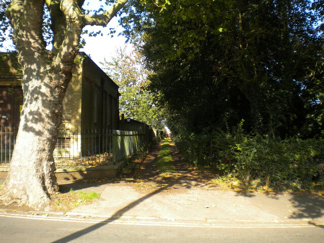
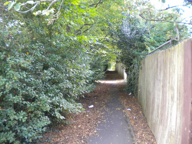
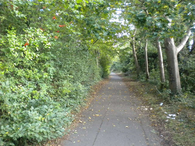
The surrounding countryside offers ample opportunities for outdoor activities. Nature enthusiasts can enjoy scenic walks along the many footpaths that crisscross the area, exploring the lush green fields and woodlands. The village's proximity to the River Nene also provides opportunities for boating and fishing.

Overall, Merefield offers a tranquil and close-knit community, making it an attractive place to live for those seeking a peaceful rural lifestyle within easy reach of urban amenities.

If you have any feedback on the listing, please let us know in the comments section below.
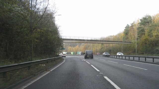
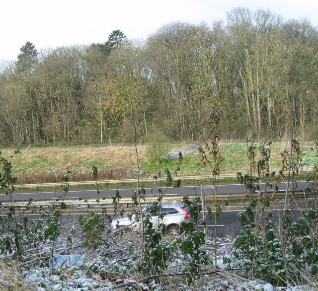
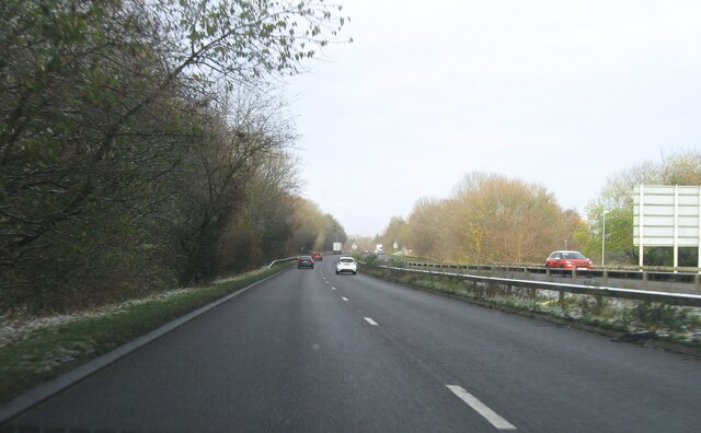
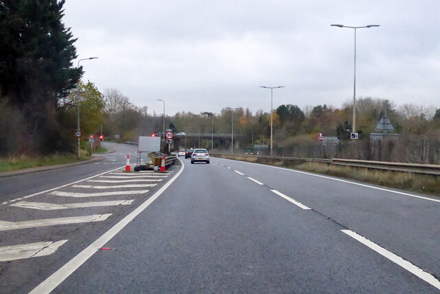
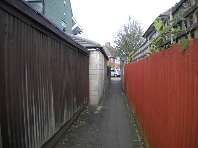
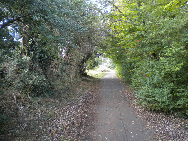
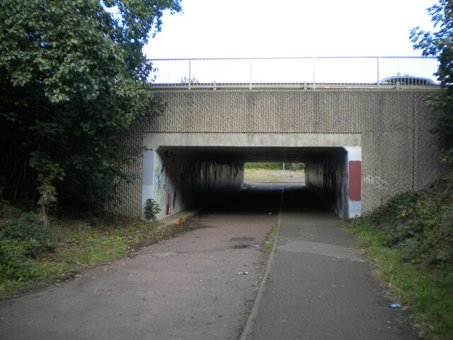
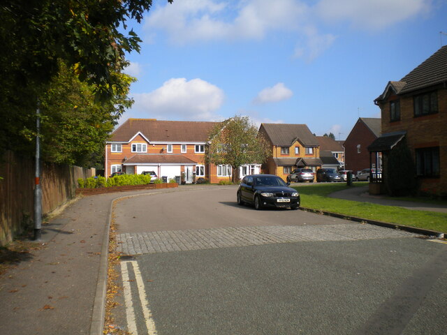
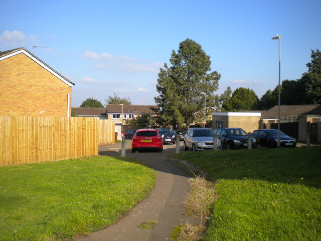
Merefield Images

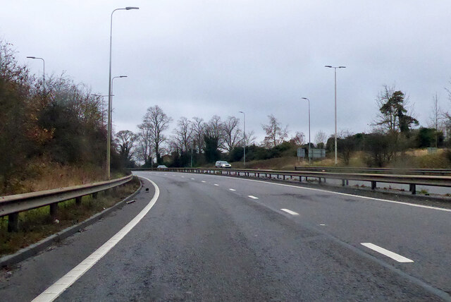
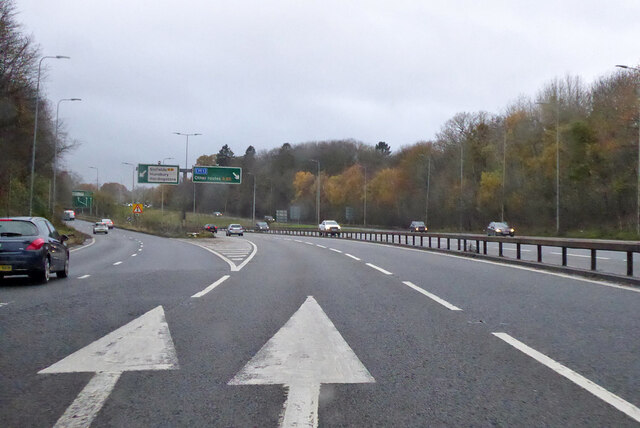
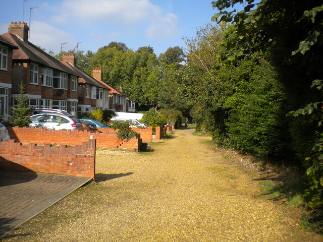
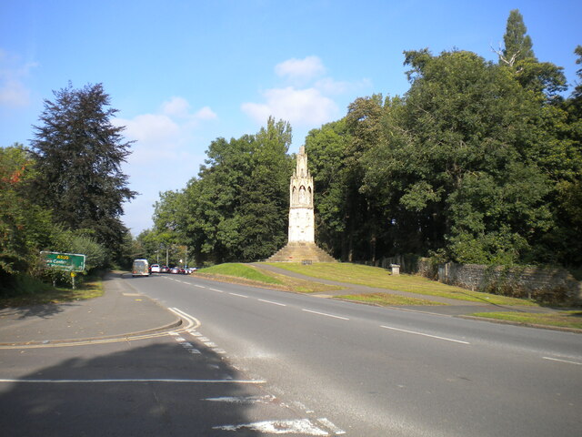
Images are sourced within 2km of 52.211943/-0.91104193 or Grid Reference SP7457. Thanks to Geograph Open Source API. All images are credited.

A45 westbound
A45 westbound
View over A45
View over A45
A5076 Danes Camp Way
Southbound A45 London Road By the exit to Wootton.
Southbound A45 London Road
By the exit to Wootton.
Southbound A45 About where its name changes from Nene Valley Way to London Road.
Southbound A45
About where its name changes from Nene Valley Way to London Road.
A45 Nene Valley Way At the exit for the A5076 which continues the southern outer ring around Northampton.
A45 Nene Valley Way
At the exit for the A5076 which continues the southern outer ring around Northampton.
Lane parallel to London Road, Far Cotton Not really grand enough to be described as a service road, and separated from London Road by the tall greenery on the right.
Lane parallel to London Road, Far Cotton
Not really grand enough to be described as a service road, and separated from London Road by the tall greenery on the right.
London Road, Far Cotton Looking towards Northampton town centre from the junction with Parkfield Avenue, with Queen Eleanor's Cross visible on the right on the edge of Delapre Park.
London Road, Far Cotton
Looking towards Northampton town centre from the junction with Parkfield Avenue, with Queen Eleanor's Cross visible on the right on the edge of Delapre Park.
Back lane off Parkfield Avenue, Far Cotton Sneaking off past a transformer station (left) to pass between the back gardens of houses on Parkfield Avenue and London Road.
Back lane off Parkfield Avenue, Far Cotton
Sneaking off past a transformer station (left) to pass between the back gardens of houses on Parkfield Avenue and London Road.
Footpath to Winchester Road, Far Cotton Off the footpath and cycleway that parallel Mere Way.
Footpath to Winchester Road, Far Cotton
Off the footpath and cycleway that parallel Mere Way.
Footpath parallel to Mere Way, Far Cotton (1) Visually (but sadly not aurally) separated from the busy dual carriageway by somewhat overgrown vegetation (left).
Footpath parallel to Mere Way, Far Cotton (1)
Visually (but sadly not aurally) separated from the busy dual carriageway by somewhat overgrown vegetation (left).
Footpath parallel to Mere Way, Far Cotton (2) Sandwiched between the busy dual carriageway (right) and Abbeyfield School (left).
Footpath parallel to Mere Way, Far Cotton (2)
Sandwiched between the busy dual carriageway (right) and Abbeyfield School (left).
Footpath parallel to Mere Way, Far Cotton (3) Sandwiched between the busy dual carriageway (left) and Abbeyfield School (right).
Footpath parallel to Mere Way, Far Cotton (3)
Sandwiched between the busy dual carriageway (left) and Abbeyfield School (right).
Subway under Mere Way, Merefield Used by a cycleway (left) and footpath.
Subway under Mere Way, Merefield
Used by a cycleway (left) and footpath.
Sandhurst Close, Merefield
Southwood Hill, Briar Hill (1) Part of a complex of roads that are all named Southwood Hill, seen from a footpath linking it with housing off other parts.
Southwood Hill, Briar Hill (1)
Part of a complex of roads that are all named Southwood Hill, seen from a footpath linking it with housing off other parts.
Show me another place!

Merefield is located at Grid Ref: SP7457 (Lat: 52.211943, Lng: -0.91104193)

Unitary Authority: West Northamptonshire

Police Authority: Northamptonshire

What 3 Words

///makes.gifted.warns. Near Hardingstone, Northamptonshire

Related Wikis

Abbeyfield School, Northampton

Abbeyfield School is a mixed secondary school and sixth form located in Northampton in the English county of Northamptonshire. It was previously known...

Northamptonshire Record Office

The Northamptonshire Record Office is the county record office for Northamptonshire. The archives are held at Wootton Hall Park, Wootton, Northampton,...

Collingtree

Collingtree is a village and civil parish in the West Northamptonshire district of Northamptonshire, England. It is part of the Northampton built-up area...

Hunsbury Hill Tunnel

Hunsbury Hill Tunnel is a railway tunnel on the Northampton Loop Line of the West Coast Main Line. The tunnel runs in a straight line from the Briar Hill...

Nearby Amenities

Located within 500m of 52.211943,-0.91104193
Fuel
Tesco Fuel
Addr City: Northampton
Addr Country: GB
Addr Postcode: NN4 0JF
Brand: Tesco
Brand Wikidata: Q487494
Brand Wikipedia: en:Tesco
Operator: Tesco
Website: https://www.tesco.com/store-locator/northampton/clannell-rd/petrol-filling-station
Lat/Long: 52.2154775/-0.9136502
Crossing
Crossing: zebra
Crossing Island: no
Tactile Paving: yes
Lat/Long: 52.2130762/-0.9108245
Crossing
Crossing: zebra
Crossing Island: no
Tactile Paving: yes
Lat/Long: 52.2140435/-0.916299
Crossing
Crossing: unmarked
Crossing Island: no
Crossing Markings: no
Kerb: lowered
Tactile Paving: no
Lat/Long: 52.2139218/-0.9148962
East Hunsbury
Is In: Northampton
Place: suburb
Lat/Long: 52.2098105/-0.9081975
Bus Stop
Harrier Park
Bench: yes
Bin: yes
Bus: yes
Lit: yes
Naptan AtcoCode: 300000088CL
Naptan NaptanCode: nthadmtg
Passenger Information Display: yes
Public Transport: platform
Shelter: yes
Tactile Paving: yes
Lat/Long: 52.2119621/-0.9057095
Post Box
Collection Times: Mo-Fr 09:00; Sa 07:00
Ref: NN4 417
Royal Cypher: EIIR
Royal Cypher Wikidata: Q33102113
Lat/Long: 52.2120762/-0.9067555
Pharmacy
Mereway Tesco Pharmacy
Addr City: Northampton
Addr Country: GB
Addr Postcode: NN4 0JF
Addr Street: Clannell Road
Healthcare: pharmacy
Ref: 1089912
Lat/Long: 52.2157738/-0.9114066
Bus Stop
Mereway Tesco
Bench: yes
Bin: yes
Bus: yes
Public Transport: platform
Shelter: yes
Lat/Long: 52.2157886/-0.9129608
Pub
Woodys
Addr City: Northampton
Addr Country: GB
Addr Postcode: NN4 0JF
Addr Street: Clannell Road
Fhrs Authority: West Northamptonshire
Fhrs Id: 1345616
Fhrs Local Authority Id: PI/000093051
Lat/Long: 52.2144538/-0.911515
Fast Food
Subway
Addr City: Northampton
Addr Country: GB
Addr Postcode: NN4 0JF
Addr Street: Mereway
Addr Unit: 3/5
Brand: Subway
Brand Wikidata: Q244457
Brand Wikipedia: en:Subway (restaurant)
Contact Website: https://restaurants.subway.com/united-kingdom/en/northampton/unit-4/5-mereway-centre
Cuisine: sandwich
Fhrs Authority: Northampton
Fhrs Id: 179906
Fhrs Local Authority Id: PI/000060458
Takeaway: yes
Lat/Long: 52.2148694/-0.911522
Crossing
Bicycle: yes
Check Date Crossing: 2023-01-15
Crossing: uncontrolled
Lat/Long: 52.215639/-0.9123365
Barrier: lift_gate
Lat/Long: 52.2158802/-0.9132746
Crossing
Crossing: marked
Crossing Island: yes
Lat/Long: 52.2151937/-0.9140143
Crossing
Crossing: unmarked
Crossing Island: no
Crossing Markings: no
Kerb: lowered
Tactile Paving: no
Lat/Long: 52.2103865/-0.910814
Barrier: cycle_barrier
Cycle Barrier: triple
Cycle Barrier Installation: fixed
Lat/Long: 52.2108213/-0.9065652
Turning Circle
Lat/Long: 52.2119319/-0.9101776
Crossing: unmarked
Crossing Island: no
Kerb Left: lowered
Lat/Long: 52.2117573/-0.9046231
Crossing
Crossing: unmarked
Crossing Island: yes
Crossing Markings: no
Tactile Paving: no
Lat/Long: 52.2141057/-0.912446
Noexit: yes
Lat/Long: 52.2147577/-0.911286
Turning Circle
Lat/Long: 52.2145359/-0.9089523
Turning Circle
Lat/Long: 52.215328/-0.9094166
Turning Circle
Lat/Long: 52.2136158/-0.9091
Turning Circle
Lat/Long: 52.2143536/-0.9062588
Turning Circle
Lat/Long: 52.2140423/-0.9082643
Turning Circle
Lat/Long: 52.2141678/-0.907118
Turning Circle
Lat/Long: 52.2143831/-0.905801
Turning Circle
Lat/Long: 52.212245/-0.9050902
Turning Circle
Lat/Long: 52.2132277/-0.9047281
Turning Circle
Lat/Long: 52.2123058/-0.9061899
Turning Circle
Lat/Long: 52.2132853/-0.905691
Turning Circle
Lat/Long: 52.2143289/-0.9048729
Turning Circle
Lat/Long: 52.2137208/-0.9052645
Bench
Backrest: yes
Lat/Long: 52.2101492/-0.9129432
Bench
Lat/Long: 52.2101623/-0.9133284
Bench
Lat/Long: 52.21009/-0.9133338
Access: yes
Leisure: playground
Lat/Long: 52.2096462/-0.9058022
Waste Basket
Check Date: 2023-02-25
Lat/Long: 52.20985/-0.9056734
Bench
Backrest: yes
Lat/Long: 52.2115955/-0.9151309
Bench
Lat/Long: 52.2103661/-0.9156244
Bench
Backrest: yes
Lat/Long: 52.2125355/-0.9144228
Bench
Lat/Long: 52.2133902/-0.9152489
Leisure: playground
Lat/Long: 52.2132061/-0.9150987
Bench
Lat/Long: 52.2102653/-0.9129207
Bus Stop
Danes Camp Leisure Centre
Bench: no
Bin: no
Bus: yes
Lit: no
Public Transport: platform
Shelter: no
Tactile Paving: yes
Lat/Long: 52.2133646/-0.9096563
Barrier: cycle_barrier
Cycle Barrier: double
Cycle Barrier Installation: fixed
Lat/Long: 52.212117/-0.9061813
Bus Stop
Harrier Park
Bench: no
Bin: no
Bus: yes
Flag: yes
Lit: no
Pole: yes
Public Transport: platform
Shelter: no
Tactile Paving: yes
Lat/Long: 52.2121456/-0.9067422
Crossing
Crossing: zebra
Crossing Island: no
Tactile Paving: yes
Lat/Long: 52.2120339/-0.9061731
Bus Stop
Skipton Close
Bench: yes
Bin: yes
Bus: yes
Lit: yes
Naptan AtcoCode: 300000107SK
Naptan NaptanCode: nthagjpa
Public Transport: platform
Shelter: yes
Tactile Paving: yes
Lat/Long: 52.2091843/-0.9052968
Post Box
Operator: Royal Mail
Operator Wikidata: Q638098
Ref: NN4 447
Lat/Long: 52.2152818/-0.9117201
Post Box
Brand: Royal Mail
Brand Wikidata: Q638098
Brand Wikipedia: en:Royal Mail
Collection Times: Mo-Fr 09:00; Sa 07:00
Operator: Royal Mail
Operator Wikidata: Q638098
Ref: NN4 418
Royal Cypher: EIIR
Royal Cypher Wikidata: Q33102113
Lat/Long: 52.2080383/-0.9120922
Kindergarten
Simon de Senlis Pre-School
Addr City: Northampton
Addr Country: GB
Addr Postcode: NN4 0PH
Lat/Long: 52.2131355/-0.9105291
Atm
RBS
Brand: RBS
Brand Wikidata: Q160126
Brand Wikipedia: en:Royal Bank of Scotland
Cash In: no
Fee: no
Official Name: Royal Bank of Scotland
Operator: RBS
Operator Wikidata: Q160126
Lat/Long: 52.2150518/-0.9119024
Crossing
Crossing: unmarked
Crossing Island: no
Crossing Markings: no
Kerb: lowered
Tactile Paving: no
Lat/Long: 52.2140342/-0.9134527
Turning Circle
Lat/Long: 52.2117202/-0.9055999
Turning Circle
Lat/Long: 52.2116521/-0.9051205
Bench
Backrest: yes
Lat/Long: 52.2098303/-0.9054213
Cafe
Costa
Addr City: Northampton
Addr Country: GB
Addr Housename: Tesco Extra Mereway
Addr Postcode: NN4 0JF
Addr Street: Mereway
Brand: Costa
Brand Wikidata: Q608845
Brand Wikipedia: en:Costa Coffee
Cuisine: coffee_shop
Fhrs Authority: Northampton
Fhrs Id: 180675
Fhrs Local Authority Id: PI/000066135
Takeaway: yes
Lat/Long: 52.2152964/-0.9114938
Barrier: bollard
Lat/Long: 52.2150867/-0.9145047
Barrier: bollard
Motor Vehicle: no
Lat/Long: 52.2141142/-0.9149305
Bus Stop
Bench: no
Bin: no
Bus: yes
Public Transport: platform
Shelter: no
Tactile Paving: yes
Lat/Long: 52.2117137/-0.9110305
Bus Stop
Abbey Centre
Bench: no
Bin: yes
Bus: yes
Lit: no
Naptan AtcoCode: 300000088AC
Naptan NaptanCode: nthadmta
Public Transport: platform
Shelter: yes
Tactile Paving: yes
Lat/Long: 52.2146101/-0.9167959
Bus Stop
Bus: yes
Naptan AtcoCode: 300000088H
Naptan NaptanCode: nthadmtp
Public Transport: platform
Shelter: yes
Lat/Long: 52.2126826/-0.9108778
Cafe
Coffee Box
Addr City: Northampton
Addr Country: GB
Addr Housename: Danes Camp Leisure Centre
Addr Postcode: NN4 0RX
Addr Street: Clannell Road
Fhrs Authority: Northampton
Fhrs Id: 720003
Fhrs Local Authority Id: PI/000083593
Lat/Long: 52.2141381/-0.909875
Scallywags Out of School
Addr City: Northampton
Addr Country: GB
Addr Housename: Simon De Senlis Primary School
Addr Postcode: NN4 0PH
Addr Street: Hilldrop Road
Fhrs Authority: Northampton
Fhrs Id: 179431
Fhrs Local Authority Id: PI/000057131
Lat/Long: 52.2129187/-0.9106422
Kindergarten
Abbey Centre Pre School
Addr City: Northampton
Addr Country: GB
Addr Housename: The Abbey Centre
Addr Postcode: NN4 0RZ
Addr Street: Overslade Close
Fhrs Authority: Northampton
Fhrs Id: 174130
Fhrs Local Authority Id: PI/000028079
Source Addr Postcode: ons_uprn_lookup
Lat/Long: 52.2156057/-0.9151992
Place Of Worship
The Abbey Centre Chapel
Addr City: Northampton
Addr Country: GB
Addr Housenumber: 10
Addr Postcode: NN4 0RZ
Addr Street: Overslade Close
Building: chapel
Denomination: baptist
Religion: christian
Source Addr Postcode: ons_uprn_lookup
Lat/Long: 52.2159261/-0.9141558
Bar
Grangewood Residents Club
Addr City: Northampton
Addr Country: GB
Addr Housenumber: 50
Addr Postcode: NN4 0UA
Addr Street: Barn Owl Close
Fhrs Authority: Northampton
Fhrs Id: 177637
Fhrs Local Authority Id: PI/000043018
Lat/Long: 52.2121035/-0.9134477
Crossing
Crossing: zebra
Crossing Island: no
Kerb: lowered
Tactile Paving: yes
Lat/Long: 52.2135243/-0.9099744
Crossing
Crossing: unmarked
Crossing Markings: no
Lat/Long: 52.2160609/-0.9094639
Crossing
Crossing: unmarked
Crossing Markings: no
Tactile Paving: no
Lat/Long: 52.2160981/-0.9094517
Noexit: yes
Lat/Long: 52.2138951/-0.910763
Noexit: yes
Lat/Long: 52.2138379/-0.910561
Noexit: yes
Lat/Long: 52.2137783/-0.9103589
Noexit: yes
Lat/Long: 52.2137197/-0.9101586
Noexit: yes
Lat/Long: 52.2136584/-0.9099394
Pristine
Shop: dry_cleaning
Lat/Long: 52.214952/-0.9114488
Card Factory
Addr City: Northampton
Addr Country: GB
Addr Postcode: NN4 0JE
Addr Street: Clannell Road
Addr Suburb: Merefield
Addr Unit: Unit 1
Brand: Card Factory
Brand Wikidata: Q5038192
Brand Wikipedia: en:Card Factory
Fhrs Authority: West Northamptonshire
Fhrs Id: 1224539
Fhrs Local Authority Id: PI/000092811
Shop: gift
Lat/Long: 52.2150749/-0.9113651
Oriordanbond
Office: estate_agent
Lat/Long: 52.2150128/-0.9114213
Max Spielmann
Brand: Max Spielmann
Brand Wikidata: Q76221051
Shop: photo
Lat/Long: 52.2152433/-0.9117512
Vision Express
Brand: Vision Express
Brand Wikidata: Q7936150
Brand Wikipedia: en:Vision Express
Shop: optician
Lat/Long: 52.2152241/-0.91163
Noexit: yes
Lat/Long: 52.211749/-0.9126
Crossing
Crossing: unmarked
Crossing Island: no
Crossing Markings: no
Kerb: lowered
Tactile Paving: no
Lat/Long: 52.2139264/-0.911084
Crossing
Crossing: marked
Crossing Island: no
Kerb: lowered
Tactile Paving: yes
Lat/Long: 52.2129049/-0.9040126
Display Digital: yes
Man Made: monitoring_station
Monitoring Bicycle: yes
Lat/Long: 52.2154476/-0.907691
Building: yes
Power: substation
Substation: minor_distribution
Lat/Long: 52.2084064/-0.9120072
Barrier: cycle_barrier
Bicycle: yes
Cycle Barrier: double
Cycle Barrier Installation: fixed
Lat/Long: 52.2155842/-0.9077916
Man Made: street_cabinet
Utility: telecom
Lat/Long: 52.2153561/-0.9072886
Waste Basket
Waste: trash
Lat/Long: 52.2155204/-0.9075513
Waste Basket
Waste: dog_excrement
Lat/Long: 52.2087592/-0.9118522
Bus Stop
Danes Camp Leisure Centre
Bench: no
Bin: no
Bus: yes
Lit: no
Public Transport: platform
Shelter: no
Tactile Paving: yes
Lat/Long: 52.2133906/-0.9094702
Crossing: uncontrolled
Crossing Island: no
Kerb: lowered
Lat/Long: 52.2112082/-0.904797
Crossing: uncontrolled
Crossing Island: no
Kerb: lowered
Lat/Long: 52.2115818/-0.9044168
Crossing: unmarked
Crossing Island: no
Kerb: lowered
Lat/Long: 52.2119688/-0.9048669
Crossing: unmarked
Crossing Island: no
Kerb Left: lowered
Lat/Long: 52.2125566/-0.9042565
Crossing: unmarked
Crossing Island: no
Kerb: lowered
Lat/Long: 52.2126946/-0.9042213
Crossing
Crossing: uncontrolled
Crossing Island: no
Kerb: lowered
Tactile Paving: no
Lat/Long: 52.2108852/-0.9047117
Crossing
Crossing: marked
Crossing Ref: zebra
Lat/Long: 52.2150252/-0.9122214
Traffic Signals
Lat/Long: 52.2161903/-0.9125492
Traffic Signals
Lat/Long: 52.2162844/-0.9126417
Barrier: fence
Material: wood
Lat/Long: 52.213501/-0.9094402
Barrier: fence
Material: wood
Lat/Long: 52.2135769/-0.9093601
Material: wood
Lat/Long: 52.2133727/-0.9087011
Barrier: fence
Material: wood
Lat/Long: 52.2133934/-0.9089271
Material: wood
Lat/Long: 52.2133728/-0.9087054
Barrier: fence
Material: wood
Lat/Long: 52.2133989/-0.908947
Barrier: fence
Material: wood
Lat/Long: 52.2134986/-0.9094345
Barrier: fence
Material: wood
Lat/Long: 52.2134972/-0.9094236
Barrier: fence
Material: wood
Lat/Long: 52.2135691/-0.9093473
Generator Method: photovoltaic
Generator Output Electricity: yes
Generator Source: solar
Generator Type: solar_photovoltaic_panel
Location: roof
Power: generator
Lat/Long: 52.2119531/-0.9088022
Generator Method: photovoltaic
Generator Output Electricity: yes
Generator Source: solar
Generator Type: solar_photovoltaic_panel
Location: roof
Power: generator
Lat/Long: 52.2124819/-0.9088551
Generator Method: photovoltaic
Generator Output Electricity: yes
Generator Source: solar
Generator Type: solar_photovoltaic_panel
Location: roof
Power: generator
Lat/Long: 52.2135243/-0.9072458
Generator Method: photovoltaic
Generator Output Electricity: yes
Generator Source: solar
Generator Type: solar_photovoltaic_panel
Location: roof
Power: generator
Lat/Long: 52.2134783/-0.9074463
Generator Method: photovoltaic
Generator Output Electricity: yes
Generator Source: solar
Generator Type: solar_photovoltaic_panel
Location: roof
Power: generator
Lat/Long: 52.2126483/-0.9061883
Generator Method: photovoltaic
Generator Output Electricity: yes
Generator Source: solar
Generator Type: solar_photovoltaic_panel
Location: roof
Power: generator
Lat/Long: 52.2127938/-0.9067013
Bicycle Parking
Access: yes
Bicycle Parking: stands
Capacity: 12
Covered: yes
Fee: no
Lat/Long: 52.2153865/-0.9122625
Generator Method: photovoltaic
Generator Output Electricity: yes
Generator Source: solar
Generator Type: solar_photovoltaic_panel
Location: roof
Power: generator
Lat/Long: 52.2092684/-0.9134638
Generator Method: photovoltaic
Generator Output Electricity: yes
Generator Source: solar
Generator Type: solar_photovoltaic_panel
Location: roof
Power: generator
Lat/Long: 52.2092832/-0.9134129
Generator Method: photovoltaic
Generator Output Electricity: yes
Generator Source: solar
Generator Type: solar_photovoltaic_panel
Location: roof
Power: generator
Lat/Long: 52.2094656/-0.9146225
Generator Method: photovoltaic
Generator Output Electricity: yes
Generator Source: solar
Generator Type: solar_photovoltaic_panel
Location: roof
Power: generator
Lat/Long: 52.2125357/-0.9162372
Generator Method: photovoltaic
Generator Output Electricity: yes
Generator Source: solar
Generator Type: solar_photovoltaic_panel
Location: roof
Power: generator
Lat/Long: 52.2141989/-0.9156606
Generator Method: photovoltaic
Generator Output Electricity: yes
Generator Source: solar
Generator Type: solar_photovoltaic_panel
Location: roof
Power: generator
Lat/Long: 52.2141167/-0.9158993
Generator Method: photovoltaic
Generator Output Electricity: yes
Generator Source: solar
Generator Type: solar_photovoltaic_panel
Location: roof
Power: generator
Lat/Long: 52.2104748/-0.9167871
Generator Method: photovoltaic
Generator Output Electricity: yes
Generator Source: solar
Generator Type: solar_photovoltaic_panel
Location: roof
Power: generator
Lat/Long: 52.2092265/-0.916885
Bleed Control Kit
Emergency: bleed_control_kit
Lat/Long: 52.2155202/-0.9153258
Defibrillator
Defibrillator Location: on external wall on sside of entrance lobby
Emergency: defibrillator
Ref GB The Circuit: 7236DA7A-54EE-4207-ABB0-78A2CE6E14E5
Lat/Long: 52.2155128/-0.9153213
The data included in this document is from www.openstreetmap.org. The data is made available under ODbL.

Have you been to Merefield?

Leave your review of Merefield below (or comments, questions and feedback).