Hazel Wood

Wood, Forest in Northamptonshire

England

Hazel Wood

Northampton Services on the M1 motorway
Northampton Services on the M1 motorway Credit: Neil Theasby

Hazel Wood is a picturesque forest located in the county of Northamptonshire, England. Spanning over an area of approximately 100 acres, the wood is renowned for its abundant hazel trees, after which it is named. This natural haven is situated just a few miles away from the bustling town of Northampton, making it easily accessible for both locals and tourists.

The woodland is characterized by a dense canopy of hazel trees, which provide a tranquil and serene atmosphere for visitors. The trees, with their gnarled trunks and delicate, green leaves, create a stunning visual spectacle throughout the year. In the springtime, the wood comes alive with a vibrant display of colorful wildflowers, including primroses and bluebells, carpeting the forest floor.

Hazel Wood is a haven for wildlife enthusiasts, as it is home to a diverse range of species. Visitors may be lucky enough to spot elusive woodland creatures such as deer, badgers, and foxes, as well as a variety of bird species including woodpeckers and owls. The wood also boasts a rich diversity of plant life, with an array of ferns, mosses, and fungi that add to the woodland's enchanting charm.

For those seeking outdoor activities, Hazel Wood offers numerous walking trails, allowing visitors to explore its natural beauty at their own pace. There are also picnic areas where families and friends can enjoy a peaceful meal surrounded by nature.

Overall, Hazel Wood in Northamptonshire is a captivating destination that offers a perfect escape from the hustle and bustle of everyday life. Its stunning natural beauty, diverse wildlife, and tranquil ambiance make it a must-visit location for nature lovers and outdoor enthusiasts alike.

If you have any feedback on the listing, please let us know in the comments section below.
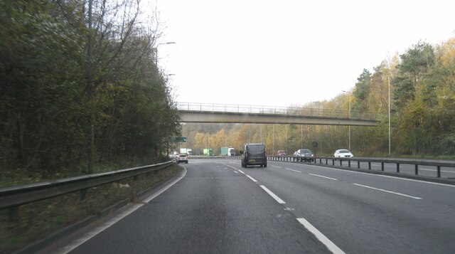
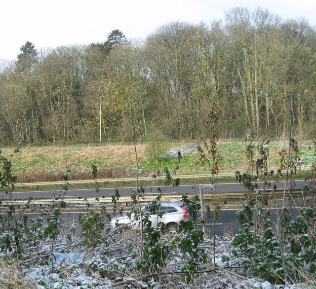
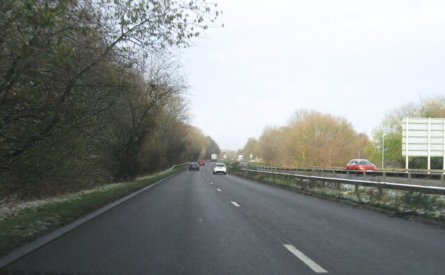
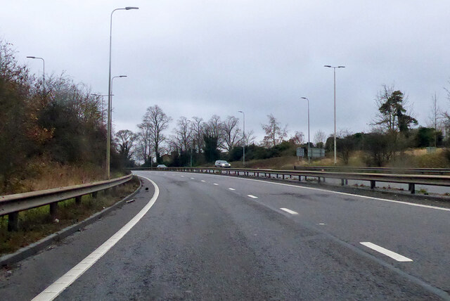
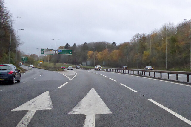
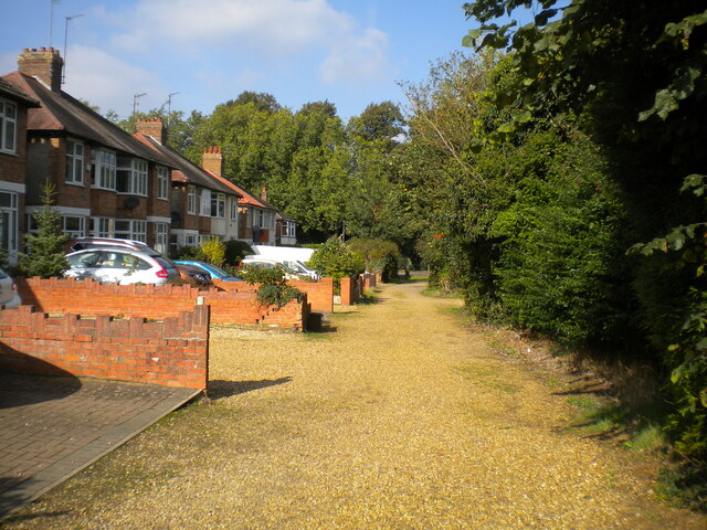
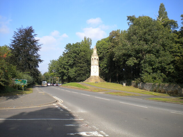
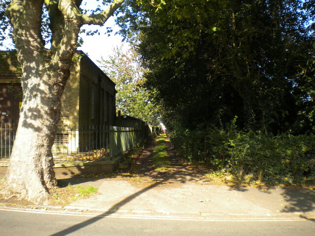
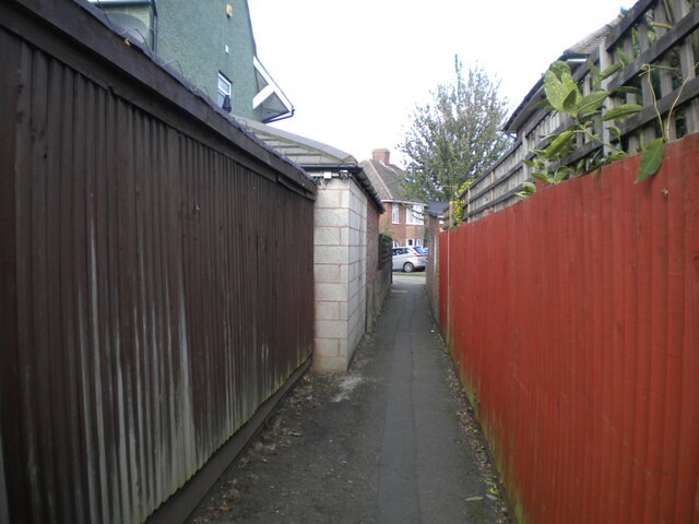
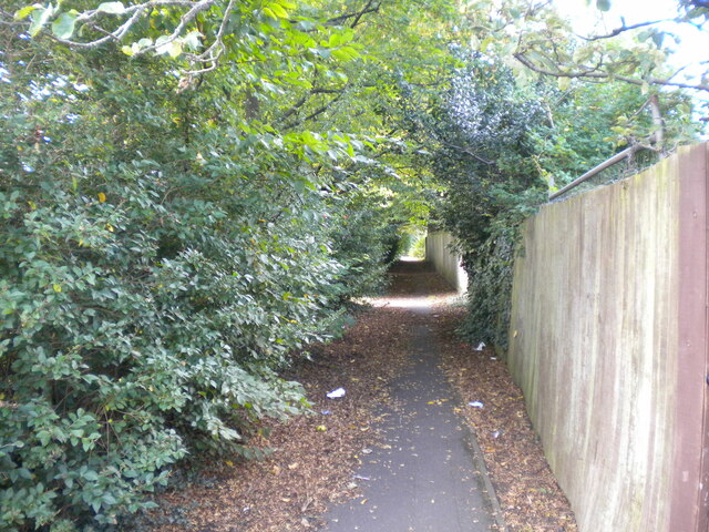
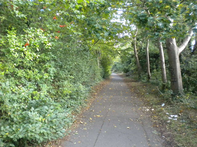
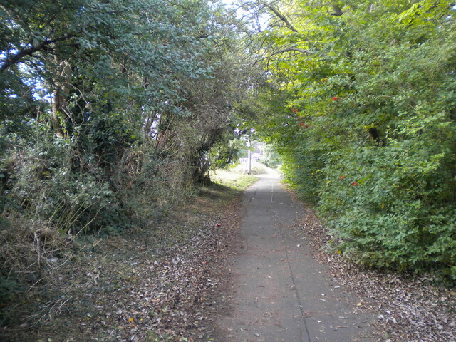
Hazel Wood Images

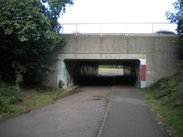
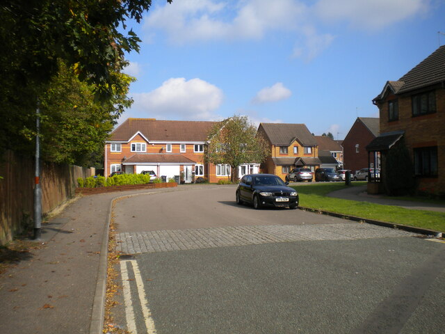
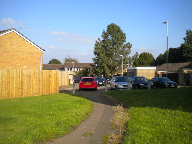
Images are sourced within 2km of 52.211792/-0.91520221 or Grid Reference SP7457. Thanks to Geograph Open Source API. All images are credited.

Northampton Services on the M1 motorway
A45 westbound
A45 westbound
View over A45
View over A45
A5076 Danes Camp Way
Southbound A45 About where its name changes from Nene Valley Way to London Road.
Southbound A45
About where its name changes from Nene Valley Way to London Road.
A45 Nene Valley Way At the exit for the A5076 which continues the southern outer ring around Northampton.
A45 Nene Valley Way
At the exit for the A5076 which continues the southern outer ring around Northampton.
Lane parallel to London Road, Far Cotton Not really grand enough to be described as a service road, and separated from London Road by the tall greenery on the right.
Lane parallel to London Road, Far Cotton
Not really grand enough to be described as a service road, and separated from London Road by the tall greenery on the right.
London Road, Far Cotton Looking towards Northampton town centre from the junction with Parkfield Avenue, with Queen Eleanor's Cross visible on the right on the edge of Delapre Park.
London Road, Far Cotton
Looking towards Northampton town centre from the junction with Parkfield Avenue, with Queen Eleanor's Cross visible on the right on the edge of Delapre Park.
Back lane off Parkfield Avenue, Far Cotton Sneaking off past a transformer station (left) to pass between the back gardens of houses on Parkfield Avenue and London Road.
Back lane off Parkfield Avenue, Far Cotton
Sneaking off past a transformer station (left) to pass between the back gardens of houses on Parkfield Avenue and London Road.
Footpath to Winchester Road, Far Cotton Off the footpath and cycleway that parallel Mere Way.
Footpath to Winchester Road, Far Cotton
Off the footpath and cycleway that parallel Mere Way.
Footpath parallel to Mere Way, Far Cotton (1) Visually (but sadly not aurally) separated from the busy dual carriageway by somewhat overgrown vegetation (left).
Footpath parallel to Mere Way, Far Cotton (1)
Visually (but sadly not aurally) separated from the busy dual carriageway by somewhat overgrown vegetation (left).
Footpath parallel to Mere Way, Far Cotton (2) Sandwiched between the busy dual carriageway (right) and Abbeyfield School (left).
Footpath parallel to Mere Way, Far Cotton (2)
Sandwiched between the busy dual carriageway (right) and Abbeyfield School (left).
Footpath parallel to Mere Way, Far Cotton (3) Sandwiched between the busy dual carriageway (left) and Abbeyfield School (right).
Footpath parallel to Mere Way, Far Cotton (3)
Sandwiched between the busy dual carriageway (left) and Abbeyfield School (right).
Subway under Mere Way, Merefield Used by a cycleway (left) and footpath.
Subway under Mere Way, Merefield
Used by a cycleway (left) and footpath.
Sandhurst Close, Merefield
Southwood Hill, Briar Hill (1) Part of a complex of roads that are all named Southwood Hill, seen from a footpath linking it with housing off other parts.
Southwood Hill, Briar Hill (1)
Part of a complex of roads that are all named Southwood Hill, seen from a footpath linking it with housing off other parts.
Show me another place!

Hazel Wood is located at Grid Ref: SP7457 (Lat: 52.211792, Lng: -0.91520221)

Unitary Authority: West Northamptonshire

Police Authority: Northamptonshire

What 3 Words

///nails.tribal.nation. Near Hardingstone, Northamptonshire

Related Wikis

Hunsbury Hill Tunnel

Hunsbury Hill Tunnel is a railway tunnel on the Northampton Loop Line of the West Coast Main Line. The tunnel runs in a straight line from the Briar Hill...

West Hunsbury

West Hunsbury is a housing estate in the south of Northampton, England, situated around 2 miles (3 km) away from the town centre, and 0.5 miles (1 km)...

Hunsbury Hill

Hunsbury Hill is an Iron Age hill fort two miles (3 km) south-west of the centre of the town of Northampton in the county of Northamptonshire.It is probable...

Abbeyfield School, Northampton

Abbeyfield School is a mixed secondary school and sixth form located in Northampton in the English county of Northamptonshire.It was previously known as...

Nearby Amenities

Located within 500m of 52.211792,-0.91520221
Fuel
Tesco Fuel
Addr City: Northampton
Addr Country: GB
Addr Postcode: NN4 0JF
Brand: Tesco
Brand Wikidata: Q487494
Brand Wikipedia: en:Tesco
Operator: Tesco
Website: https://www.tesco.com/store-locator/northampton/clannell-rd/petrol-filling-station
Lat/Long: 52.2154775/-0.9136502
Crossing
Crossing: zebra
Crossing Island: no
Tactile Paving: yes
Lat/Long: 52.2130762/-0.9108245
Crossing
Crossing: zebra
Crossing Island: no
Tactile Paving: yes
Lat/Long: 52.2140435/-0.916299
Crossing
Crossing: unmarked
Crossing Island: no
Crossing Markings: no
Kerb: lowered
Tactile Paving: no
Lat/Long: 52.2139218/-0.9148962
Source: www.npemap.org.uk
Uk Postcode Centroid: NN7
Lat/Long: 52.211911/-0.921313
Bus Stop
Mereway Tesco
Bench: yes
Bin: yes
Bus: yes
Public Transport: platform
Shelter: yes
Lat/Long: 52.2157886/-0.9129608
Pub
Woodys
Addr City: Northampton
Addr Country: GB
Addr Postcode: NN4 0JF
Addr Street: Clannell Road
Fhrs Authority: West Northamptonshire
Fhrs Id: 1345616
Fhrs Local Authority Id: PI/000093051
Lat/Long: 52.2144538/-0.911515
Fast Food
Subway
Addr City: Northampton
Addr Country: GB
Addr Postcode: NN4 0JF
Addr Street: Mereway
Addr Unit: 3/5
Brand: Subway
Brand Wikidata: Q244457
Brand Wikipedia: en:Subway (restaurant)
Contact Website: https://restaurants.subway.com/united-kingdom/en/northampton/unit-4/5-mereway-centre
Cuisine: sandwich
Fhrs Authority: Northampton
Fhrs Id: 179906
Fhrs Local Authority Id: PI/000060458
Takeaway: yes
Lat/Long: 52.2148694/-0.911522
Crossing
Bicycle: yes
Check Date Crossing: 2023-01-15
Crossing: uncontrolled
Lat/Long: 52.215639/-0.9123365
Barrier: lift_gate
Lat/Long: 52.2158802/-0.9132746
Crossing
Crossing: marked
Crossing Island: yes
Lat/Long: 52.2151937/-0.9140143
Crossing
Crossing: unmarked
Crossing Island: no
Crossing Markings: no
Kerb: lowered
Tactile Paving: no
Lat/Long: 52.2103865/-0.910814
Turning Circle
Lat/Long: 52.2119319/-0.9101776
Crossing
Crossing: unmarked
Crossing Island: yes
Crossing Markings: no
Tactile Paving: no
Lat/Long: 52.2141057/-0.912446
Noexit: yes
Lat/Long: 52.2147577/-0.911286
Turning Circle
Lat/Long: 52.2136158/-0.9091
Bench
Backrest: yes
Lat/Long: 52.2101492/-0.9129432
Bench
Lat/Long: 52.2101623/-0.9133284
Bench
Lat/Long: 52.21009/-0.9133338
Bench
Backrest: yes
Lat/Long: 52.2115955/-0.9151309
Bench
Lat/Long: 52.2103661/-0.9156244
Bench
Backrest: yes
Lat/Long: 52.2125355/-0.9144228
Bench
Lat/Long: 52.2133902/-0.9152489
Leisure: playground
Lat/Long: 52.2132061/-0.9150987
Bench
Lat/Long: 52.2102653/-0.9129207
Bus Stop
Danes Camp Leisure Centre
Bench: no
Bin: no
Bus: yes
Lit: no
Public Transport: platform
Shelter: no
Tactile Paving: yes
Lat/Long: 52.2133646/-0.9096563
Post Box
Operator: Royal Mail
Operator Wikidata: Q638098
Ref: NN4 447
Lat/Long: 52.2152818/-0.9117201
Post Box
Brand: Royal Mail
Brand Wikidata: Q638098
Brand Wikipedia: en:Royal Mail
Collection Times: Mo-Fr 09:00; Sa 07:00
Operator: Royal Mail
Operator Wikidata: Q638098
Ref: NN4 418
Royal Cypher: EIIR
Royal Cypher Wikidata: Q33102113
Lat/Long: 52.2080383/-0.9120922
Post Box
Collection Times: Mo-Fr 09:00; Sa 07:00
Operator: Royal Mail
Operator Wikidata: Q638098
Ref: NN4 424
Royal Cypher: EIIR
Royal Cypher Wikidata: Q33102113
Lat/Long: 52.2149277/-0.9166405
Kindergarten
Simon de Senlis Pre-School
Addr City: Northampton
Addr Country: GB
Addr Postcode: NN4 0PH
Lat/Long: 52.2131355/-0.9105291
Atm
RBS
Brand: RBS
Brand Wikidata: Q160126
Brand Wikipedia: en:Royal Bank of Scotland
Cash In: no
Fee: no
Official Name: Royal Bank of Scotland
Operator: RBS
Operator Wikidata: Q160126
Lat/Long: 52.2150518/-0.9119024
Veterinary
Abbey Centre Veterinary Clinic
Lat/Long: 52.2155629/-0.9154402
Crossing
Crossing: unmarked
Crossing Island: no
Crossing Markings: no
Kerb: lowered
Tactile Paving: no
Lat/Long: 52.2140342/-0.9134527
Barrier: stile
Bicycle: no
Foot: yes
Horse: no
Motor Vehicle: no
Lat/Long: 52.2078611/-0.9141749
Cafe
Costa
Addr City: Northampton
Addr Country: GB
Addr Housename: Tesco Extra Mereway
Addr Postcode: NN4 0JF
Addr Street: Mereway
Brand: Costa
Brand Wikidata: Q608845
Brand Wikipedia: en:Costa Coffee
Cuisine: coffee_shop
Fhrs Authority: Northampton
Fhrs Id: 180675
Fhrs Local Authority Id: PI/000066135
Takeaway: yes
Lat/Long: 52.2152964/-0.9114938
Barrier: bollard
Lat/Long: 52.2150867/-0.9145047
Barrier: bollard
Motor Vehicle: no
Lat/Long: 52.2141142/-0.9149305
Bus Stop
Bench: no
Bin: no
Bus: yes
Public Transport: platform
Shelter: no
Tactile Paving: yes
Lat/Long: 52.2117137/-0.9110305
Bus Stop
Abbey Centre
Bench: no
Bin: yes
Bus: yes
Lit: no
Naptan AtcoCode: 300000088OA
Naptan NaptanCode: nthadmwa
Public Transport: platform
Shelter: yes
Tactile Paving: yes
Lat/Long: 52.2146375/-0.9169985
Bus Stop
Abbey Centre
Bench: no
Bin: yes
Bus: yes
Lit: no
Naptan AtcoCode: 300000088AC
Naptan NaptanCode: nthadmta
Public Transport: platform
Shelter: yes
Tactile Paving: yes
Lat/Long: 52.2146101/-0.9167959
Bus Stop
Bus: yes
Naptan AtcoCode: 300000088H
Naptan NaptanCode: nthadmtp
Public Transport: platform
Shelter: yes
Lat/Long: 52.2126826/-0.9108778
Cafe
Coffee Box
Addr City: Northampton
Addr Country: GB
Addr Housename: Danes Camp Leisure Centre
Addr Postcode: NN4 0RX
Addr Street: Clannell Road
Fhrs Authority: Northampton
Fhrs Id: 720003
Fhrs Local Authority Id: PI/000083593
Lat/Long: 52.2141381/-0.909875
Scallywags Out of School
Addr City: Northampton
Addr Country: GB
Addr Housename: Simon De Senlis Primary School
Addr Postcode: NN4 0PH
Addr Street: Hilldrop Road
Fhrs Authority: Northampton
Fhrs Id: 179431
Fhrs Local Authority Id: PI/000057131
Lat/Long: 52.2129187/-0.9106422
Kindergarten
Abbey Centre Pre School
Addr City: Northampton
Addr Country: GB
Addr Housename: The Abbey Centre
Addr Postcode: NN4 0RZ
Addr Street: Overslade Close
Fhrs Authority: Northampton
Fhrs Id: 174130
Fhrs Local Authority Id: PI/000028079
Source Addr Postcode: ons_uprn_lookup
Lat/Long: 52.2156057/-0.9151992
Place Of Worship
The Abbey Centre Chapel
Addr City: Northampton
Addr Country: GB
Addr Housenumber: 10
Addr Postcode: NN4 0RZ
Addr Street: Overslade Close
Building: chapel
Denomination: baptist
Religion: christian
Source Addr Postcode: ons_uprn_lookup
Lat/Long: 52.2159261/-0.9141558
Bar
Grangewood Residents Club
Addr City: Northampton
Addr Country: GB
Addr Housenumber: 50
Addr Postcode: NN4 0UA
Addr Street: Barn Owl Close
Fhrs Authority: Northampton
Fhrs Id: 177637
Fhrs Local Authority Id: PI/000043018
Lat/Long: 52.2121035/-0.9134477
Crossing
Crossing: zebra
Crossing Island: no
Kerb: lowered
Tactile Paving: yes
Lat/Long: 52.2135243/-0.9099744
Noexit: yes
Lat/Long: 52.2138951/-0.910763
Noexit: yes
Lat/Long: 52.2138379/-0.910561
Noexit: yes
Lat/Long: 52.2137783/-0.9103589
Noexit: yes
Lat/Long: 52.2137197/-0.9101586
Noexit: yes
Lat/Long: 52.2136584/-0.9099394
Pristine
Shop: dry_cleaning
Lat/Long: 52.214952/-0.9114488
Card Factory
Addr City: Northampton
Addr Country: GB
Addr Postcode: NN4 0JE
Addr Street: Clannell Road
Addr Suburb: Merefield
Addr Unit: Unit 1
Brand: Card Factory
Brand Wikidata: Q5038192
Brand Wikipedia: en:Card Factory
Fhrs Authority: West Northamptonshire
Fhrs Id: 1224539
Fhrs Local Authority Id: PI/000092811
Shop: gift
Lat/Long: 52.2150749/-0.9113651
Oriordanbond
Office: estate_agent
Lat/Long: 52.2150128/-0.9114213
Max Spielmann
Brand: Max Spielmann
Brand Wikidata: Q76221051
Shop: photo
Lat/Long: 52.2152433/-0.9117512
Vision Express
Brand: Vision Express
Brand Wikidata: Q7936150
Brand Wikipedia: en:Vision Express
Shop: optician
Lat/Long: 52.2152241/-0.91163
Noexit: yes
Lat/Long: 52.211749/-0.9126
Crossing
Crossing: unmarked
Crossing Island: no
Crossing Markings: no
Kerb: lowered
Tactile Paving: no
Lat/Long: 52.2139264/-0.911084
Building: yes
Power: substation
Substation: minor_distribution
Lat/Long: 52.2084064/-0.9120072
Marker: pedestal
Utility: gas
Lat/Long: 52.2159993/-0.9144508
Marker: pedestal
Utility: gas
Lat/Long: 52.2159756/-0.9144257
Waste Basket
Waste: dog_excrement
Lat/Long: 52.2087592/-0.9118522
Bus Stop
Danes Camp Leisure Centre
Bench: no
Bin: no
Bus: yes
Lit: no
Public Transport: platform
Shelter: no
Tactile Paving: yes
Lat/Long: 52.2133906/-0.9094702
Pipeline: valve
Substance: gas
Lat/Long: 52.2097132/-0.9201899
Pipeline: valve
Substance: gas
Lat/Long: 52.2097112/-0.9202002
Pipeline: valve
Substance: gas
Lat/Long: 52.2097108/-0.9201781
Crossing
Crossing: marked
Crossing Ref: zebra
Lat/Long: 52.2150252/-0.9122214
Barrier: fence
Material: wood
Lat/Long: 52.213501/-0.9094402
Barrier: fence
Material: wood
Lat/Long: 52.2135769/-0.9093601
Material: wood
Lat/Long: 52.2133727/-0.9087011
Barrier: fence
Material: wood
Lat/Long: 52.2133934/-0.9089271
Material: wood
Lat/Long: 52.2133728/-0.9087054
Barrier: fence
Material: wood
Lat/Long: 52.2133989/-0.908947
Barrier: fence
Material: wood
Lat/Long: 52.2134986/-0.9094345
Barrier: fence
Material: wood
Lat/Long: 52.2134972/-0.9094236
Barrier: fence
Material: wood
Lat/Long: 52.2135691/-0.9093473
Generator Method: photovoltaic
Generator Output Electricity: yes
Generator Source: solar
Generator Type: solar_photovoltaic_panel
Location: roof
Power: generator
Lat/Long: 52.2119531/-0.9088022
Generator Method: photovoltaic
Generator Output Electricity: yes
Generator Source: solar
Generator Type: solar_photovoltaic_panel
Location: roof
Power: generator
Lat/Long: 52.2124819/-0.9088551
Bicycle Parking
Access: yes
Bicycle Parking: stands
Capacity: 12
Covered: yes
Fee: no
Lat/Long: 52.2153865/-0.9122625
Generator Method: photovoltaic
Generator Output Electricity: yes
Generator Source: solar
Generator Type: solar_photovoltaic_panel
Location: roof
Power: generator
Lat/Long: 52.2086718/-0.9161836
Generator Method: photovoltaic
Generator Output Electricity: yes
Generator Source: solar
Generator Type: solar_photovoltaic_panel
Location: roof
Power: generator
Lat/Long: 52.2092684/-0.9134638
Generator Method: photovoltaic
Generator Output Electricity: yes
Generator Source: solar
Generator Type: solar_photovoltaic_panel
Location: roof
Power: generator
Lat/Long: 52.2092832/-0.9134129
Generator Method: photovoltaic
Generator Output Electricity: yes
Generator Source: solar
Generator Type: solar_photovoltaic_panel
Location: roof
Power: generator
Lat/Long: 52.2094656/-0.9146225
Generator Method: photovoltaic
Generator Output Electricity: yes
Generator Source: solar
Generator Type: solar_photovoltaic_panel
Location: roof
Power: generator
Lat/Long: 52.2125357/-0.9162372
Generator Method: photovoltaic
Generator Output Electricity: yes
Generator Source: solar
Generator Type: solar_photovoltaic_panel
Location: roof
Power: generator
Lat/Long: 52.2156328/-0.9159315
Generator Method: photovoltaic
Generator Output Electricity: yes
Generator Source: solar
Generator Type: solar_photovoltaic_panel
Location: roof
Power: generator
Lat/Long: 52.2155687/-0.9159006
Generator Method: photovoltaic
Generator Output Electricity: yes
Generator Source: solar
Generator Type: solar_photovoltaic_panel
Location: roof
Power: generator
Lat/Long: 52.2155021/-0.9158725
Generator Method: photovoltaic
Generator Output Electricity: yes
Generator Source: solar
Generator Type: solar_photovoltaic_panel
Location: roof
Power: generator
Lat/Long: 52.2154413/-0.915855
Generator Method: photovoltaic
Generator Output Electricity: yes
Generator Source: solar
Generator Type: solar_photovoltaic_panel
Location: roof
Power: generator
Lat/Long: 52.2153707/-0.9162761
Generator Method: photovoltaic
Generator Output Electricity: yes
Generator Source: solar
Generator Type: solar_photovoltaic_panel
Location: roof
Power: generator
Lat/Long: 52.2154397/-0.9162225
Generator Method: photovoltaic
Generator Output Electricity: yes
Generator Source: solar
Generator Type: solar_photovoltaic_panel
Location: roof
Power: generator
Lat/Long: 52.2155046/-0.9162265
Generator Method: photovoltaic
Generator Output Electricity: yes
Generator Source: solar
Generator Type: solar_photovoltaic_panel
Location: roof
Power: generator
Lat/Long: 52.2155613/-0.9162185
Generator Method: photovoltaic
Generator Output Electricity: yes
Generator Source: solar
Generator Type: solar_photovoltaic_panel
Location: roof
Power: generator
Lat/Long: 52.2141989/-0.9156606
Generator Method: photovoltaic
Generator Output Electricity: yes
Generator Source: solar
Generator Type: solar_photovoltaic_panel
Location: roof
Power: generator
Lat/Long: 52.2141167/-0.9158993
Generator Method: photovoltaic
Generator Output Electricity: yes
Generator Source: solar
Generator Type: solar_photovoltaic_panel
Location: roof
Power: generator
Lat/Long: 52.2136073/-0.9197241
Generator Method: photovoltaic
Generator Output Electricity: yes
Generator Source: solar
Generator Type: solar_photovoltaic_panel
Location: roof
Power: generator
Lat/Long: 52.2134281/-0.9201506
Generator Method: photovoltaic
Generator Output Electricity: yes
Generator Source: solar
Generator Type: solar_photovoltaic_panel
Location: roof
Power: generator
Lat/Long: 52.2104748/-0.9167871
Generator Method: photovoltaic
Generator Output Electricity: yes
Generator Source: solar
Generator Type: solar_photovoltaic_panel
Location: roof
Power: generator
Lat/Long: 52.2092454/-0.9169346
Generator Method: photovoltaic
Generator Output Electricity: yes
Generator Source: solar
Generator Type: solar_photovoltaic_panel
Location: roof
Power: generator
Lat/Long: 52.2092265/-0.916885
Generator Method: photovoltaic
Generator Output Electricity: yes
Generator Source: solar
Generator Type: solar_photovoltaic_panel
Location: roof
Power: generator
Lat/Long: 52.2089528/-0.916779
Generator Method: photovoltaic
Generator Output Electricity: yes
Generator Source: solar
Generator Type: solar_photovoltaic_panel
Location: roof
Power: generator
Lat/Long: 52.2089232/-0.9172833
Generator Method: photovoltaic
Generator Output Electricity: yes
Generator Source: solar
Generator Type: solar_photovoltaic_panel
Location: roof
Power: generator
Lat/Long: 52.2086685/-0.9170607
Generator Method: photovoltaic
Generator Output Electricity: yes
Generator Source: solar
Generator Type: solar_photovoltaic_panel
Location: roof
Power: generator
Lat/Long: 52.2088657/-0.9179565
Generator Method: photovoltaic
Generator Output Electricity: yes
Generator Source: solar
Generator Type: solar_photovoltaic_panel
Location: roof
Power: generator
Lat/Long: 52.2086438/-0.9185305
Generator Method: photovoltaic
Generator Output Electricity: yes
Generator Source: solar
Generator Type: solar_photovoltaic_panel
Location: roof
Power: generator
Lat/Long: 52.2085994/-0.9191233
Generator Method: photovoltaic
Generator Output Electricity: yes
Generator Source: solar
Generator Type: solar_photovoltaic_panel
Location: roof
Power: generator
Lat/Long: 52.2083085/-0.9190214
Generator Method: photovoltaic
Generator Output Electricity: yes
Generator Source: solar
Generator Type: solar_photovoltaic_panel
Location: roof
Power: generator
Lat/Long: 52.2112078/-0.921886
Generator Method: photovoltaic
Generator Output Electricity: yes
Generator Source: solar
Generator Type: solar_photovoltaic_panel
Location: roof
Power: generator
Lat/Long: 52.211456/-0.9208828
Generator Method: photovoltaic
Generator Output Electricity: yes
Generator Source: solar
Generator Type: solar_photovoltaic_panel
Location: roof
Power: generator
Lat/Long: 52.2117436/-0.9222534
Generator Method: photovoltaic
Generator Output Electricity: yes
Generator Source: solar
Generator Type: solar_photovoltaic_panel
Location: roof
Power: generator
Lat/Long: 52.2143222/-0.9183696
Generator Method: photovoltaic
Generator Output Electricity: yes
Generator Source: solar
Generator Type: solar_photovoltaic_panel
Location: roof
Power: generator
Lat/Long: 52.2144159/-0.9188604
Generator Method: photovoltaic
Generator Output Electricity: yes
Generator Source: solar
Generator Type: solar_photovoltaic_panel
Location: roof
Power: generator
Lat/Long: 52.2144076/-0.9188953
Generator Method: photovoltaic
Generator Output Electricity: yes
Generator Source: solar
Generator Type: solar_photovoltaic_panel
Location: roof
Power: generator
Lat/Long: 52.2142499/-0.9192896
Generator Method: photovoltaic
Generator Output Electricity: yes
Generator Source: solar
Generator Type: solar_photovoltaic_panel
Location: roof
Power: generator
Lat/Long: 52.2147199/-0.9199896
Generator Method: photovoltaic
Generator Output Electricity: yes
Generator Source: solar
Generator Type: solar_photovoltaic_panel
Location: roof
Power: generator
Lat/Long: 52.2147067/-0.9196839
The data included in this document is from www.openstreetmap.org. The data is made available under ODbL.

Have you been to Hazel Wood?

Leave your review of Hazel Wood below (or comments, questions and feedback).