Grange Wood

Wood, Forest in Northamptonshire

England

Grange Wood

Northampton Services on the M1 motorway
Northampton Services on the M1 motorway Credit: Neil Theasby

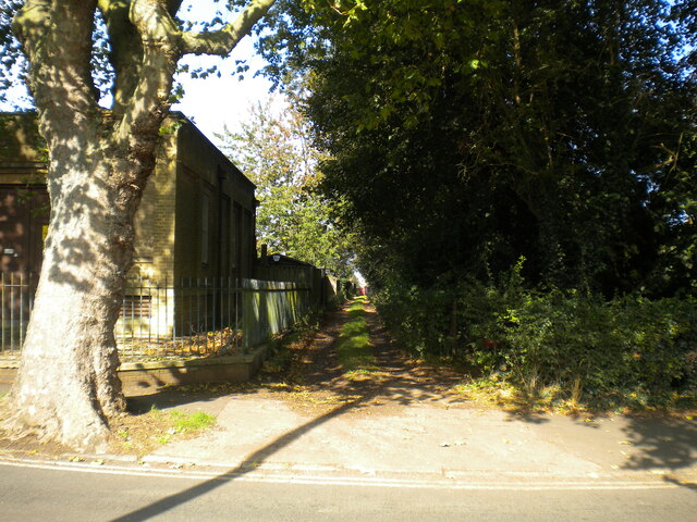
Grange Wood is a picturesque woodland located in Northamptonshire, England. Covering an area of approximately 100 acres, it is a popular destination for nature lovers and outdoor enthusiasts. The wood is part of the larger Boughton Estate and is managed by the Forestry Commission.

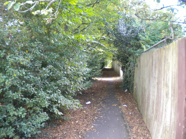
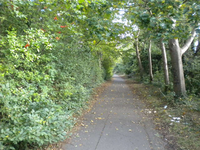
The woodland is predominantly composed of broadleaf trees, including oak, ash, and beech, which create a dense canopy and provide a habitat for a variety of wildlife. Visitors to Grange Wood can expect to see an array of bird species, such as woodpeckers, owls, and thrushes, as well as small mammals like squirrels and rabbits.

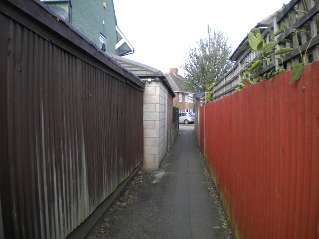
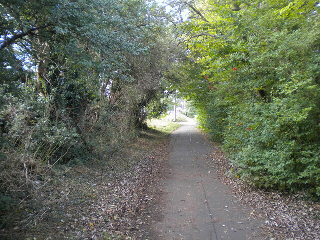
There are several walking trails that meander through the wood, offering visitors the opportunity to explore its natural beauty at their own pace. These trails are well-maintained and signposted, making navigation easy for visitors of all ages and abilities. Additionally, there are seating areas and picnic spots scattered throughout the wood, providing a perfect opportunity for visitors to relax and enjoy the tranquil surroundings.

Grange Wood is also home to a diverse range of plant life, with bluebells carpeting the forest floor in the spring and wildflowers adding vibrant pops of color during the summer months. The wood is carefully managed to balance conservation and recreation, and efforts are made to preserve its natural integrity.

Overall, Grange Wood is a haven for nature enthusiasts, offering a peaceful retreat from the hustle and bustle of everyday life. Whether visitors are seeking a leisurely stroll, birdwatching opportunities, or simply a place to connect with nature, Grange Wood provides a welcoming and serene environment for all.

If you have any feedback on the listing, please let us know in the comments section below.

Grange Wood Images

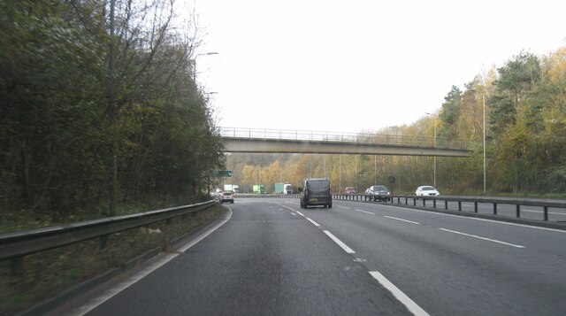
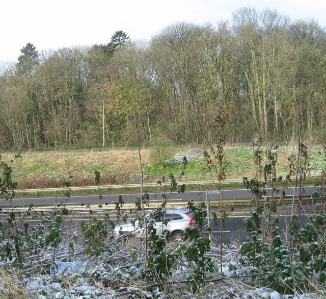
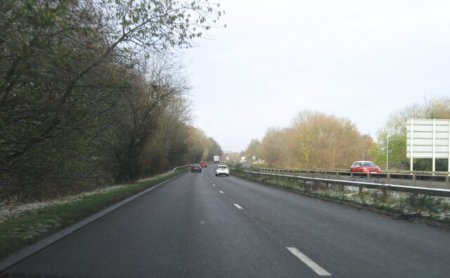
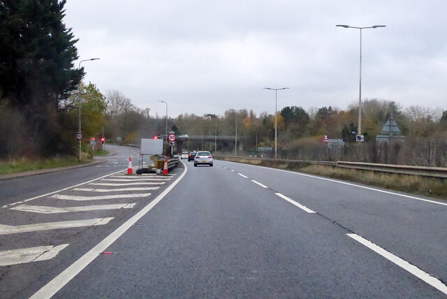
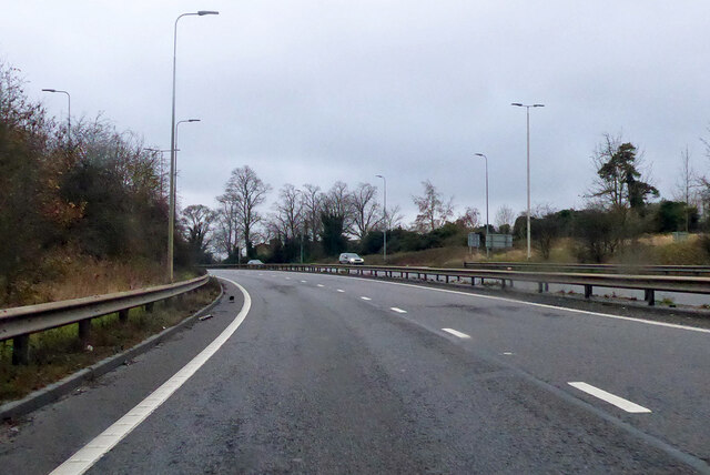
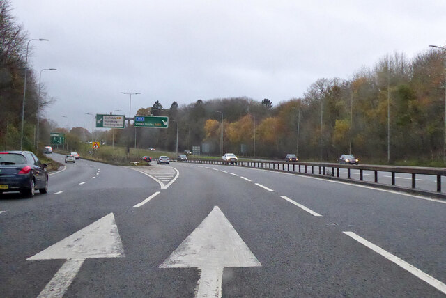
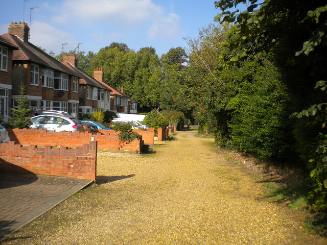
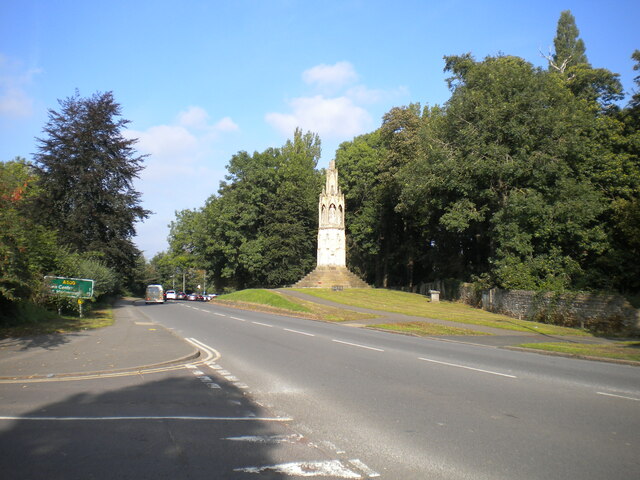
Images are sourced within 2km of 52.21093/-0.91535492 or Grid Reference SP7457. Thanks to Geograph Open Source API. All images are credited.

Northampton Services on the M1 motorway
A45 westbound
A45 westbound
View over A45
View over A45
A5076 Danes Camp Way
Southbound A45 London Road By the exit to Wootton.
Southbound A45 London Road
By the exit to Wootton.
Southbound A45 About where its name changes from Nene Valley Way to London Road.
Southbound A45
About where its name changes from Nene Valley Way to London Road.
A45 Nene Valley Way At the exit for the A5076 which continues the southern outer ring around Northampton.
A45 Nene Valley Way
At the exit for the A5076 which continues the southern outer ring around Northampton.
Lane parallel to London Road, Far Cotton Not really grand enough to be described as a service road, and separated from London Road by the tall greenery on the right.
Lane parallel to London Road, Far Cotton
Not really grand enough to be described as a service road, and separated from London Road by the tall greenery on the right.
London Road, Far Cotton Looking towards Northampton town centre from the junction with Parkfield Avenue, with Queen Eleanor's Cross visible on the right on the edge of Delapre Park.
London Road, Far Cotton
Looking towards Northampton town centre from the junction with Parkfield Avenue, with Queen Eleanor's Cross visible on the right on the edge of Delapre Park.
Back lane off Parkfield Avenue, Far Cotton Sneaking off past a transformer station (left) to pass between the back gardens of houses on Parkfield Avenue and London Road.
Back lane off Parkfield Avenue, Far Cotton
Sneaking off past a transformer station (left) to pass between the back gardens of houses on Parkfield Avenue and London Road.
Footpath to Winchester Road, Far Cotton Off the footpath and cycleway that parallel Mere Way.
Footpath to Winchester Road, Far Cotton
Off the footpath and cycleway that parallel Mere Way.
Footpath parallel to Mere Way, Far Cotton (1) Visually (but sadly not aurally) separated from the busy dual carriageway by somewhat overgrown vegetation (left).
Footpath parallel to Mere Way, Far Cotton (1)
Visually (but sadly not aurally) separated from the busy dual carriageway by somewhat overgrown vegetation (left).
Footpath parallel to Mere Way, Far Cotton (2) Sandwiched between the busy dual carriageway (right) and Abbeyfield School (left).
Footpath parallel to Mere Way, Far Cotton (2)
Sandwiched between the busy dual carriageway (right) and Abbeyfield School (left).
Footpath parallel to Mere Way, Far Cotton (3) Sandwiched between the busy dual carriageway (left) and Abbeyfield School (right).
Footpath parallel to Mere Way, Far Cotton (3)
Sandwiched between the busy dual carriageway (left) and Abbeyfield School (right).
Subway under Mere Way, Merefield Used by a cycleway (left) and footpath.
Subway under Mere Way, Merefield
Used by a cycleway (left) and footpath.
Sandhurst Close, Merefield
Show me another place!

Grange Wood is located at Grid Ref: SP7457 (Lat: 52.21093, Lng: -0.91535492)

Unitary Authority: West Northamptonshire

Police Authority: Northamptonshire

What 3 Words

///decreased.tools.listed. Near Hardingstone, Northamptonshire

Related Wikis

Hunsbury Hill Tunnel

Hunsbury Hill Tunnel is a railway tunnel on the Northampton Loop Line of the West Coast Main Line. The tunnel runs in a straight line from the Briar Hill...

West Hunsbury

West Hunsbury is a housing estate in the south of Northampton, England, situated around 2 miles (3 km) away from the town centre, and 0.5 miles (1 km)...

Abbeyfield School, Northampton

Abbeyfield School is a mixed secondary school and sixth form located in Northampton in the English county of Northamptonshire.It was previously known as...

Hunsbury Hill

Hunsbury Hill is an Iron Age hill fort two miles (3 km) south-west of the centre of the town of Northampton in the county of Northamptonshire.It is probable...

Nearby Amenities

Located within 500m of 52.21093,-0.91535492
Crossing
Crossing: zebra
Crossing Island: no
Tactile Paving: yes
Lat/Long: 52.2130762/-0.9108245
Crossing
Crossing: zebra
Crossing Island: no
Tactile Paving: yes
Lat/Long: 52.2140435/-0.916299
Crossing
Crossing: unmarked
Crossing Island: no
Crossing Markings: no
Kerb: lowered
Tactile Paving: no
Lat/Long: 52.2139218/-0.9148962
Source: www.npemap.org.uk
Uk Postcode Centroid: NN7
Lat/Long: 52.211911/-0.921313
Pub
Woodys
Addr City: Northampton
Addr Country: GB
Addr Postcode: NN4 0JF
Addr Street: Clannell Road
Fhrs Authority: West Northamptonshire
Fhrs Id: 1345616
Fhrs Local Authority Id: PI/000093051
Lat/Long: 52.2144538/-0.911515
Crossing
Crossing: marked
Crossing Island: yes
Lat/Long: 52.2151937/-0.9140143
Crossing
Crossing: unmarked
Crossing Island: no
Crossing Markings: no
Kerb: lowered
Tactile Paving: no
Lat/Long: 52.2103865/-0.910814
Turning Circle
Lat/Long: 52.2119319/-0.9101776
Crossing
Crossing: unmarked
Crossing Island: yes
Crossing Markings: no
Tactile Paving: no
Lat/Long: 52.2141057/-0.912446
Bench
Backrest: yes
Lat/Long: 52.2101492/-0.9129432
Bench
Lat/Long: 52.2101623/-0.9133284
Bench
Lat/Long: 52.21009/-0.9133338
Bench
Backrest: yes
Lat/Long: 52.2115955/-0.9151309
Bench
Lat/Long: 52.2103661/-0.9156244
Bench
Backrest: yes
Lat/Long: 52.2125355/-0.9144228
Bench
Lat/Long: 52.2133902/-0.9152489
Leisure: playground
Lat/Long: 52.2132061/-0.9150987
Bench
Lat/Long: 52.2102653/-0.9129207
Bus Stop
Danes Camp Leisure Centre
Bench: no
Bin: no
Bus: yes
Lit: no
Public Transport: platform
Shelter: no
Tactile Paving: yes
Lat/Long: 52.2133646/-0.9096563
Post Box
Brand: Royal Mail
Brand Wikidata: Q638098
Brand Wikipedia: en:Royal Mail
Collection Times: Mo-Fr 09:00; Sa 07:00
Operator: Royal Mail
Operator Wikidata: Q638098
Ref: NN4 418
Royal Cypher: EIIR
Royal Cypher Wikidata: Q33102113
Lat/Long: 52.2080383/-0.9120922
Post Box
Collection Times: Mo-Fr 09:00; Sa 07:00
Operator: Royal Mail
Operator Wikidata: Q638098
Ref: NN4 424
Royal Cypher: EIIR
Royal Cypher Wikidata: Q33102113
Lat/Long: 52.2149277/-0.9166405
Kindergarten
Simon de Senlis Pre-School
Addr City: Northampton
Addr Country: GB
Addr Postcode: NN4 0PH
Lat/Long: 52.2131355/-0.9105291
Crossing
Crossing: unmarked
Crossing Island: no
Crossing Markings: no
Kerb: lowered
Tactile Paving: no
Lat/Long: 52.2140342/-0.9134527
Barrier: stile
Bicycle: no
Foot: yes
Horse: no
Motor Vehicle: no
Lat/Long: 52.2078611/-0.9141749
Barrier: bollard
Lat/Long: 52.2150867/-0.9145047
Barrier: bollard
Motor Vehicle: no
Lat/Long: 52.2141142/-0.9149305
Bus Stop
Bench: no
Bin: no
Bus: yes
Public Transport: platform
Shelter: no
Tactile Paving: yes
Lat/Long: 52.2117137/-0.9110305
Bus Stop
Abbey Centre
Bench: no
Bin: yes
Bus: yes
Lit: no
Naptan AtcoCode: 300000088OA
Naptan NaptanCode: nthadmwa
Public Transport: platform
Shelter: yes
Tactile Paving: yes
Lat/Long: 52.2146375/-0.9169985
Bus Stop
Abbey Centre
Bench: no
Bin: yes
Bus: yes
Lit: no
Naptan AtcoCode: 300000088AC
Naptan NaptanCode: nthadmta
Public Transport: platform
Shelter: yes
Tactile Paving: yes
Lat/Long: 52.2146101/-0.9167959
Bus Stop
Bus: yes
Naptan AtcoCode: 300000088H
Naptan NaptanCode: nthadmtp
Public Transport: platform
Shelter: yes
Lat/Long: 52.2126826/-0.9108778
Scallywags Out of School
Addr City: Northampton
Addr Country: GB
Addr Housename: Simon De Senlis Primary School
Addr Postcode: NN4 0PH
Addr Street: Hilldrop Road
Fhrs Authority: Northampton
Fhrs Id: 179431
Fhrs Local Authority Id: PI/000057131
Lat/Long: 52.2129187/-0.9106422
Bar
Grangewood Residents Club
Addr City: Northampton
Addr Country: GB
Addr Housenumber: 50
Addr Postcode: NN4 0UA
Addr Street: Barn Owl Close
Fhrs Authority: Northampton
Fhrs Id: 177637
Fhrs Local Authority Id: PI/000043018
Lat/Long: 52.2121035/-0.9134477
Crossing
Crossing: zebra
Crossing Island: no
Kerb: lowered
Tactile Paving: yes
Lat/Long: 52.2135243/-0.9099744
Noexit: yes
Lat/Long: 52.2138951/-0.910763
Noexit: yes
Lat/Long: 52.2138379/-0.910561
Noexit: yes
Lat/Long: 52.2137783/-0.9103589
Noexit: yes
Lat/Long: 52.2137197/-0.9101586
Noexit: yes
Lat/Long: 52.2136584/-0.9099394
Noexit: yes
Lat/Long: 52.211749/-0.9126
Crossing
Crossing: unmarked
Crossing Island: no
Crossing Markings: no
Kerb: lowered
Tactile Paving: no
Lat/Long: 52.2139264/-0.911084
Building: yes
Power: substation
Substation: minor_distribution
Lat/Long: 52.2084064/-0.9120072
Waste Basket
Waste: dog_excrement
Lat/Long: 52.2087592/-0.9118522
Bus Stop
Danes Camp Leisure Centre
Bench: no
Bin: no
Bus: yes
Lit: no
Public Transport: platform
Shelter: no
Tactile Paving: yes
Lat/Long: 52.2133906/-0.9094702
Pipeline: valve
Substance: gas
Lat/Long: 52.2097132/-0.9201899
Pipeline: valve
Substance: gas
Lat/Long: 52.2097112/-0.9202002
Pipeline: valve
Substance: gas
Lat/Long: 52.2097108/-0.9201781
Barrier: fence
Material: wood
Lat/Long: 52.213501/-0.9094402
Barrier: fence
Material: wood
Lat/Long: 52.2134986/-0.9094345
Barrier: fence
Material: wood
Lat/Long: 52.2134972/-0.9094236
Generator Method: photovoltaic
Generator Output Electricity: yes
Generator Source: solar
Generator Type: solar_photovoltaic_panel
Location: roof
Power: generator
Lat/Long: 52.2119531/-0.9088022
Generator Method: photovoltaic
Generator Output Electricity: yes
Generator Source: solar
Generator Type: solar_photovoltaic_panel
Location: roof
Power: generator
Lat/Long: 52.2124819/-0.9088551
Generator Method: photovoltaic
Generator Output Electricity: yes
Generator Source: solar
Generator Type: solar_photovoltaic_panel
Location: roof
Power: generator
Lat/Long: 52.2086718/-0.9161836
Generator Method: photovoltaic
Generator Output Electricity: yes
Generator Source: solar
Generator Type: solar_photovoltaic_panel
Location: roof
Power: generator
Lat/Long: 52.2092684/-0.9134638
Generator Method: photovoltaic
Generator Output Electricity: yes
Generator Source: solar
Generator Type: solar_photovoltaic_panel
Location: roof
Power: generator
Lat/Long: 52.2092832/-0.9134129
Generator Method: photovoltaic
Generator Output Electricity: yes
Generator Source: solar
Generator Type: solar_photovoltaic_panel
Location: roof
Power: generator
Lat/Long: 52.2094656/-0.9146225
Generator Method: photovoltaic
Generator Output Electricity: yes
Generator Source: solar
Generator Type: solar_photovoltaic_panel
Location: roof
Power: generator
Lat/Long: 52.2125357/-0.9162372
Generator Method: photovoltaic
Generator Output Electricity: yes
Generator Source: solar
Generator Type: solar_photovoltaic_panel
Location: roof
Power: generator
Lat/Long: 52.2153707/-0.9162761
Generator Method: photovoltaic
Generator Output Electricity: yes
Generator Source: solar
Generator Type: solar_photovoltaic_panel
Location: roof
Power: generator
Lat/Long: 52.2141989/-0.9156606
Generator Method: photovoltaic
Generator Output Electricity: yes
Generator Source: solar
Generator Type: solar_photovoltaic_panel
Location: roof
Power: generator
Lat/Long: 52.2141167/-0.9158993
Generator Method: photovoltaic
Generator Output Electricity: yes
Generator Source: solar
Generator Type: solar_photovoltaic_panel
Location: roof
Power: generator
Lat/Long: 52.2136073/-0.9197241
Generator Method: photovoltaic
Generator Output Electricity: yes
Generator Source: solar
Generator Type: solar_photovoltaic_panel
Location: roof
Power: generator
Lat/Long: 52.2134281/-0.9201506
Generator Method: photovoltaic
Generator Output Electricity: yes
Generator Source: solar
Generator Type: solar_photovoltaic_panel
Location: roof
Power: generator
Lat/Long: 52.2104748/-0.9167871
Generator Method: photovoltaic
Generator Output Electricity: yes
Generator Source: solar
Generator Type: solar_photovoltaic_panel
Location: roof
Power: generator
Lat/Long: 52.2092454/-0.9169346
Generator Method: photovoltaic
Generator Output Electricity: yes
Generator Source: solar
Generator Type: solar_photovoltaic_panel
Location: roof
Power: generator
Lat/Long: 52.2092265/-0.916885
Generator Method: photovoltaic
Generator Output Electricity: yes
Generator Source: solar
Generator Type: solar_photovoltaic_panel
Location: roof
Power: generator
Lat/Long: 52.2089528/-0.916779
Generator Method: photovoltaic
Generator Output Electricity: yes
Generator Source: solar
Generator Type: solar_photovoltaic_panel
Location: roof
Power: generator
Lat/Long: 52.2089232/-0.9172833
Generator Method: photovoltaic
Generator Output Electricity: yes
Generator Source: solar
Generator Type: solar_photovoltaic_panel
Location: roof
Power: generator
Lat/Long: 52.2086685/-0.9170607
Generator Method: photovoltaic
Generator Output Electricity: yes
Generator Source: solar
Generator Type: solar_photovoltaic_panel
Location: roof
Power: generator
Lat/Long: 52.2088657/-0.9179565
Generator Method: photovoltaic
Generator Output Electricity: yes
Generator Source: solar
Generator Type: solar_photovoltaic_panel
Location: roof
Power: generator
Lat/Long: 52.2086438/-0.9185305
Generator Method: photovoltaic
Generator Output Electricity: yes
Generator Source: solar
Generator Type: solar_photovoltaic_panel
Location: roof
Power: generator
Lat/Long: 52.2085994/-0.9191233
Generator Method: photovoltaic
Generator Output Electricity: yes
Generator Source: solar
Generator Type: solar_photovoltaic_panel
Location: roof
Power: generator
Lat/Long: 52.2083085/-0.9190214
Generator Method: photovoltaic
Generator Output Electricity: yes
Generator Source: solar
Generator Type: solar_photovoltaic_panel
Location: roof
Power: generator
Lat/Long: 52.2107361/-0.9225968
Generator Method: photovoltaic
Generator Output Electricity: yes
Generator Source: solar
Generator Type: solar_photovoltaic_panel
Location: roof
Power: generator
Lat/Long: 52.2112078/-0.921886
Generator Method: photovoltaic
Generator Output Electricity: yes
Generator Source: solar
Generator Type: solar_photovoltaic_panel
Location: roof
Power: generator
Lat/Long: 52.211456/-0.9208828
Generator Method: photovoltaic
Generator Output Electricity: yes
Generator Source: solar
Generator Type: solar_photovoltaic_panel
Location: roof
Power: generator
Lat/Long: 52.2117436/-0.9222534
Generator Method: photovoltaic
Generator Output Electricity: yes
Generator Source: solar
Generator Type: solar_photovoltaic_panel
Location: roof
Power: generator
Lat/Long: 52.2143222/-0.9183696
Generator Method: photovoltaic
Generator Output Electricity: yes
Generator Source: solar
Generator Type: solar_photovoltaic_panel
Location: roof
Power: generator
Lat/Long: 52.2144159/-0.9188604
Generator Method: photovoltaic
Generator Output Electricity: yes
Generator Source: solar
Generator Type: solar_photovoltaic_panel
Location: roof
Power: generator
Lat/Long: 52.2144076/-0.9188953
Generator Method: photovoltaic
Generator Output Electricity: yes
Generator Source: solar
Generator Type: solar_photovoltaic_panel
Location: roof
Power: generator
Lat/Long: 52.2142499/-0.9192896
The data included in this document is from www.openstreetmap.org. The data is made available under ODbL.

Have you been to Grange Wood?

Leave your review of Grange Wood below (or comments, questions and feedback).