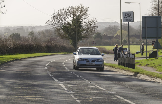
East Ayton
Civil Parish in Yorkshire Scarborough
England
East Ayton
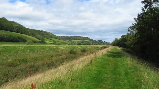
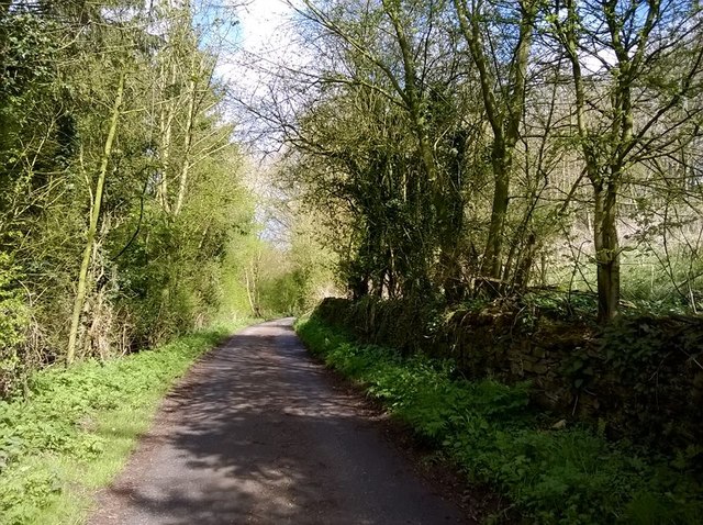
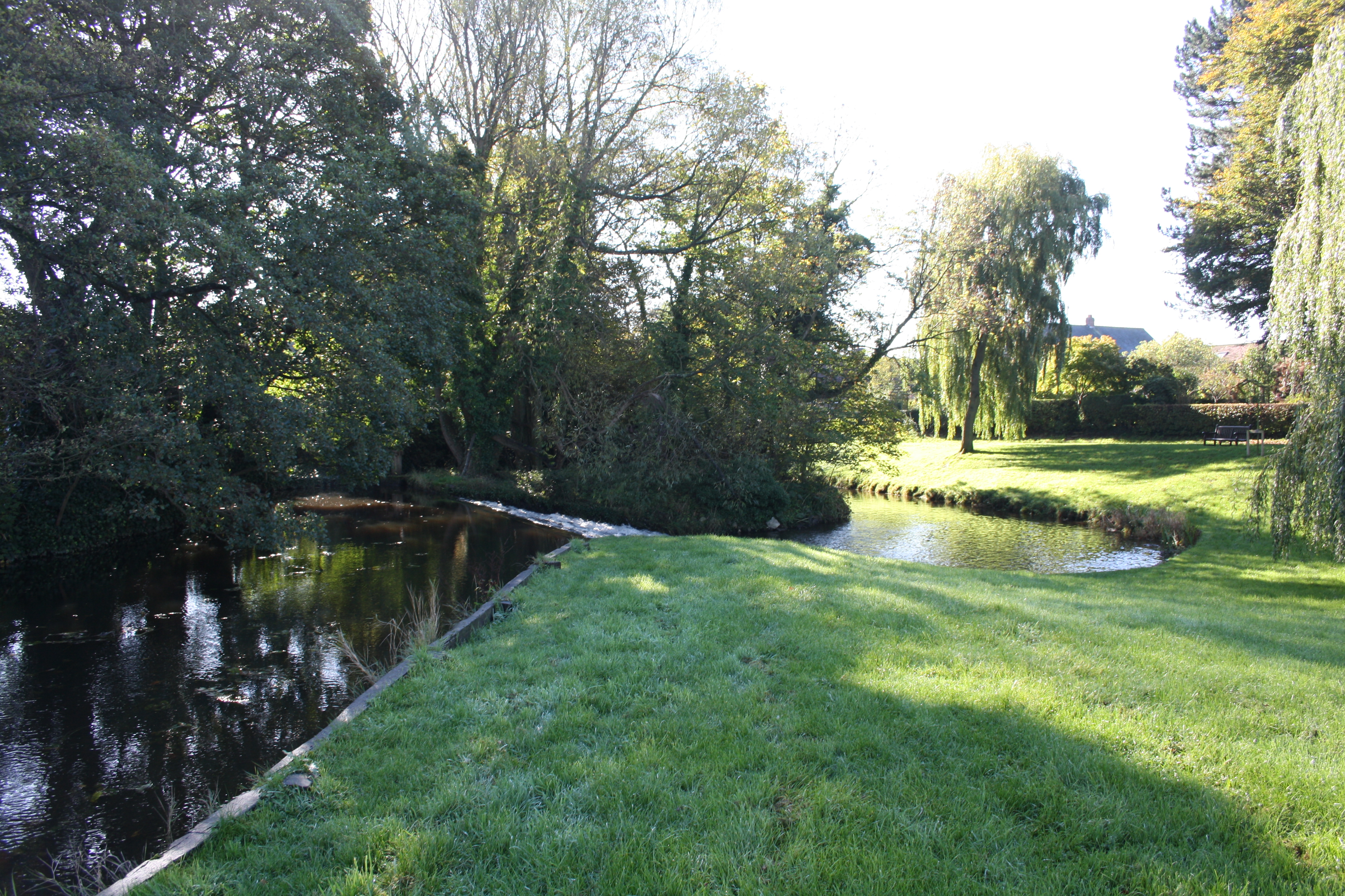
East Ayton is a civil parish located in the county of Yorkshire, England. It lies approximately three miles south-west of Scarborough and covers an area of about 7 square kilometers. The village of East Ayton itself is situated on the eastern bank of the River Derwent, surrounded by picturesque countryside and rolling hills.
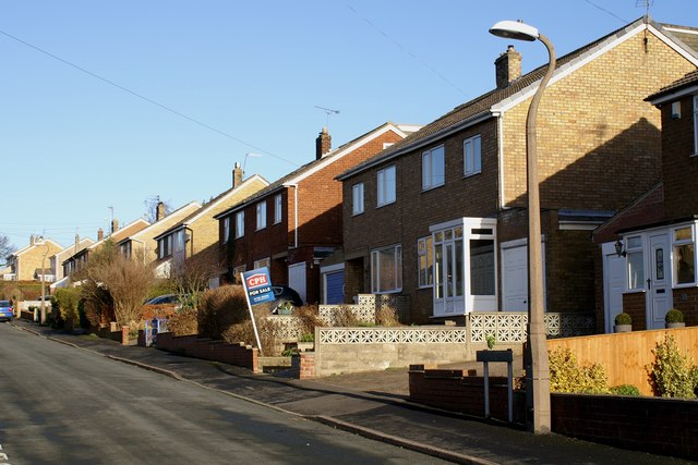
The parish is home to a population of around 1,200 residents, according to the latest census data. The village has a charming and peaceful atmosphere, offering a tranquil escape from the hustle and bustle of nearby urban areas. It retains much of its traditional character with a mix of old stone houses, quaint cottages, and a few newer developments.
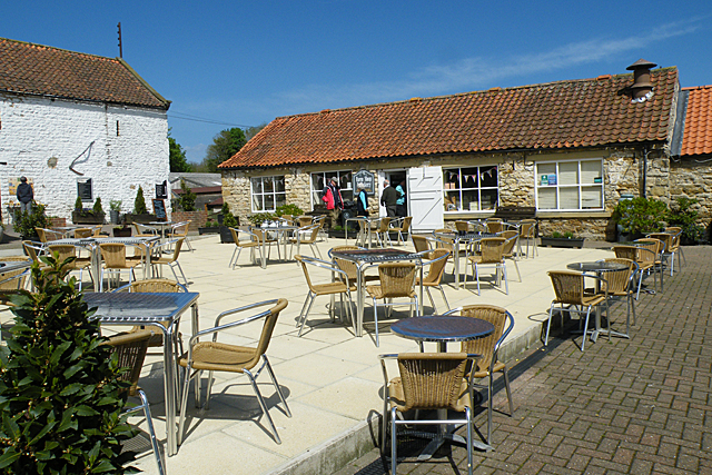
East Ayton is well-served by a range of local amenities, including a village shop, post office, and a pub, providing essential services to the local community. The parish also boasts a primary school, offering education for children of primary age.
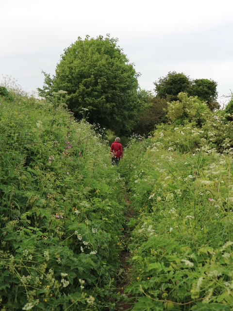
The surrounding natural beauty of the area makes East Ayton an ideal location for outdoor enthusiasts. The nearby Forge Valley Woods National Nature Reserve, managed by the Yorkshire Wildlife Trust, offers walking trails, wildlife spotting opportunities, and stunning views of the surrounding countryside.
East Ayton enjoys good transport links, with regular bus services connecting the village to Scarborough and other nearby towns. Scarborough railway station is also within easy reach, providing further connections to major cities such as York and Leeds.
Overall, East Ayton is a charming and idyllic civil parish, offering a peaceful and close-knit community, beautiful landscapes, and convenient amenities for its residents.
If you have any feedback on the listing, please let us know in the comments section below.
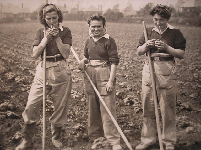
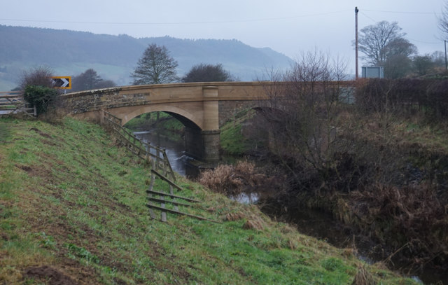
East Ayton Images
Images are sourced within 2km of 54.269208/-0.478838 or Grid Reference SE9987. Thanks to Geograph Open Source API. All images are credited.


East Ayton is located at Grid Ref: SE9987 (Lat: 54.269208, Lng: -0.478838)
Division: North Riding
Administrative County: North Yorkshire
District: Scarborough
Police Authority: North Yorkshire
What 3 Words
///hindered.island.momentous. Near East Ayton, North Yorkshire
Nearby Locations
Related Wikis

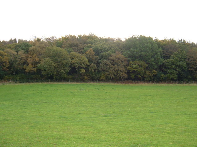
Forge Valley
Forge Valley is a national nature reserve in the Scarborough district of North Yorkshire, England, located within the North York Moors National Park on...
Raincliffe Woods
Raincliffe Woods are situated to the north-west of Scarborough, North Yorkshire, England. They form an "L" shape with Forge Valley Woods and the River...

Suffield-cum-Everley
Suffield-cum-Everley is a civil parish in the Scarborough district of North Yorkshire, England. According to the 2011 UK census, the parish (including...

East Ayton
East Ayton is a village and civil parish in the Scarborough district of North Yorkshire, England. According to the 2011 UK census, East Ayton parish...

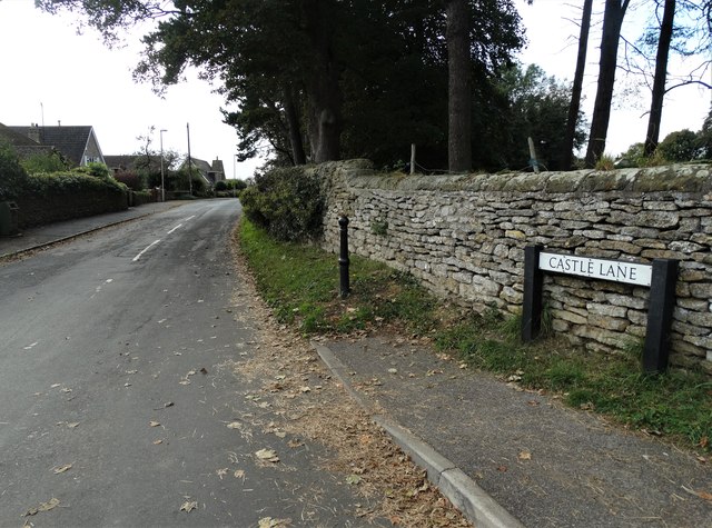
Ayton Castle, North Yorkshire
Ayton Castle is a ruined Grade I listed 14th century pele tower castle near West Ayton, North Yorkshire, England. == Location == The castle is sited at...
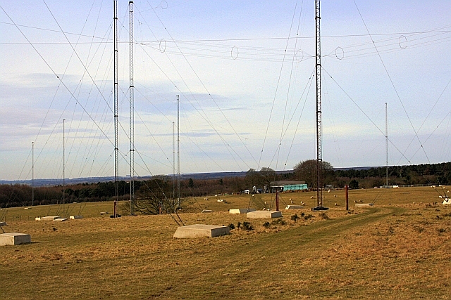
GCHQ Scarborough
GCHQ Scarborough is a satellite ground station located on Irton Moor, on the outskirts of Scarborough in North Yorkshire, England, operated by the British...
West Ayton
West Ayton is a village and civil parish in the Scarborough district of North Yorkshire, England. Located upon the west bank of the River Derwent adjacent...

Forge Valley railway station
Forge Valley railway station was situated on the North Eastern Railway's Pickering to Seamer branch line. It served the twin villages of East and West...
Nearby Amenities
Located within 500m of 54.269208,-0.478838Have you been to East Ayton?
Leave your review of East Ayton below (or comments, questions and feedback).