East Anstey

Civil Parish in Devon North Devon

England

East Anstey

Exmoor Ponies on Anstey Money Common
Exmoor Ponies on Anstey Money Common Credit: Grant Sherman

East Anstey is a small civil parish located in the county of Devon, England. Situated in the beautiful and rural Exmoor National Park, it is nestled between the rolling hills and picturesque landscapes that characterize this region. The parish covers an area of approximately 4.5 square kilometers and is home to a population of around 200 residents.

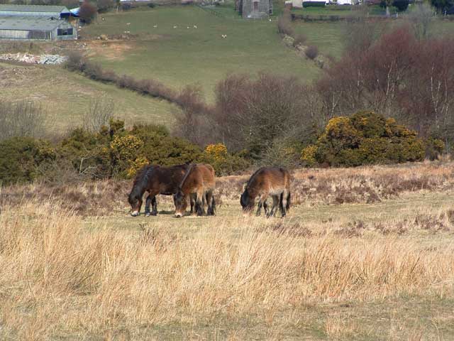
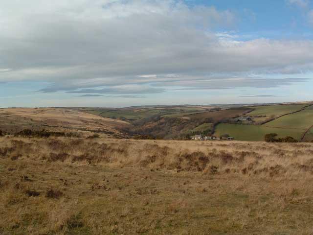
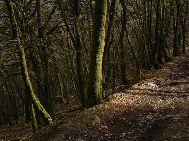
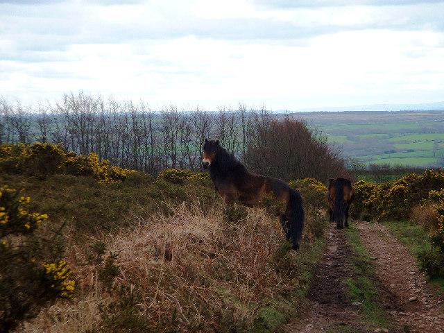
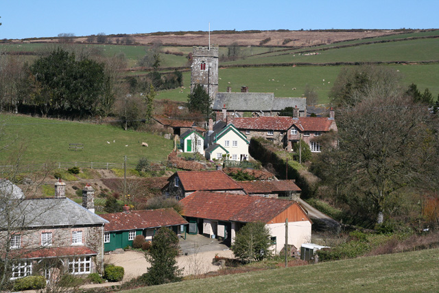
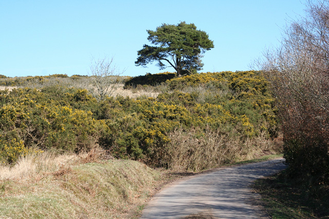
East Anstey is known for its charming and tranquil atmosphere, making it a popular destination for those seeking a peaceful retreat from the bustling city life. The village itself is made up of a collection of traditional stone-built cottages and farmhouses, giving it a quintessential English countryside feel. The surrounding countryside offers ample opportunities for outdoor activities such as hiking, cycling, and horseback riding, with many scenic trails and paths to explore.

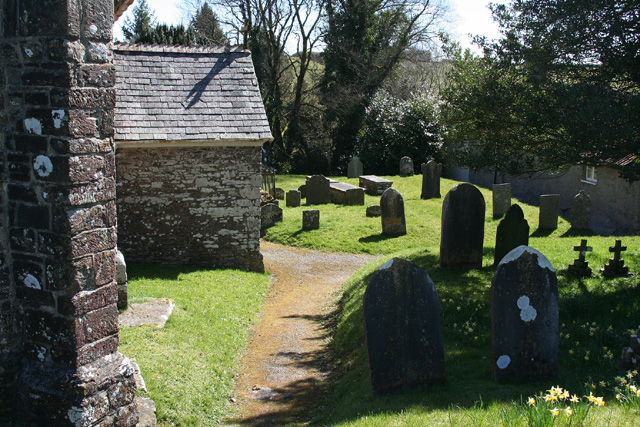
Although small in size, East Anstey has a strong sense of community and is home to a number of local amenities. These include a village hall, a parish church, and a primary school. The village hall serves as a hub for various community events and activities, while the parish church, dedicated to St. Michael and All Angels, provides a place of worship for residents.

In terms of services and facilities, the nearest town with a wider range of amenities is South Molton, located approximately 8 kilometers away. Here, residents can find a variety of shops, supermarkets, healthcare facilities, and schools.

Overall, East Anstey offers a tranquil and idyllic setting for those seeking a rural lifestyle, surrounded by the natural beauty of the Exmoor National Park.

If you have any feedback on the listing, please let us know in the comments section below.
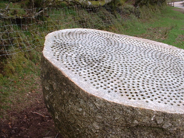
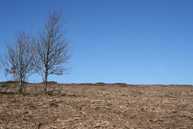
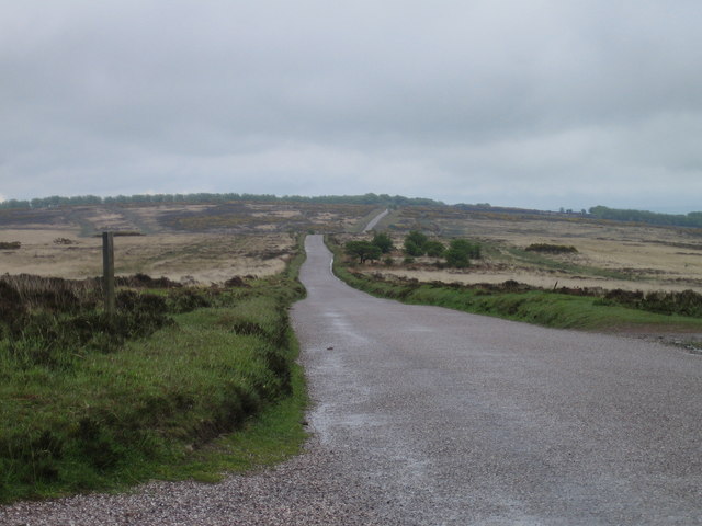
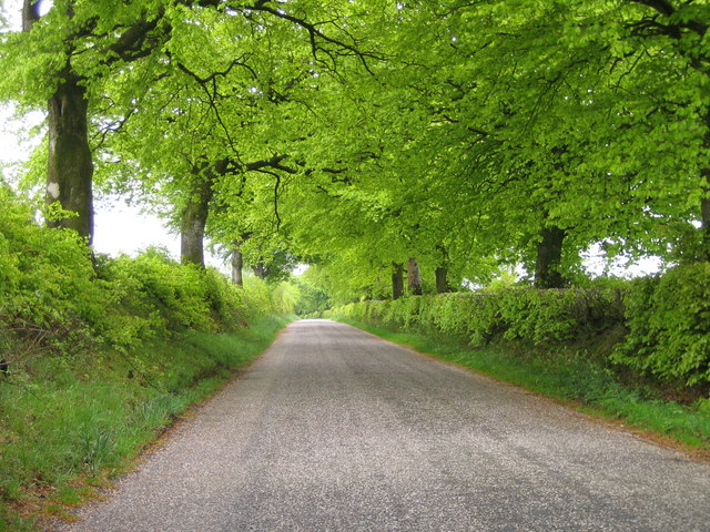
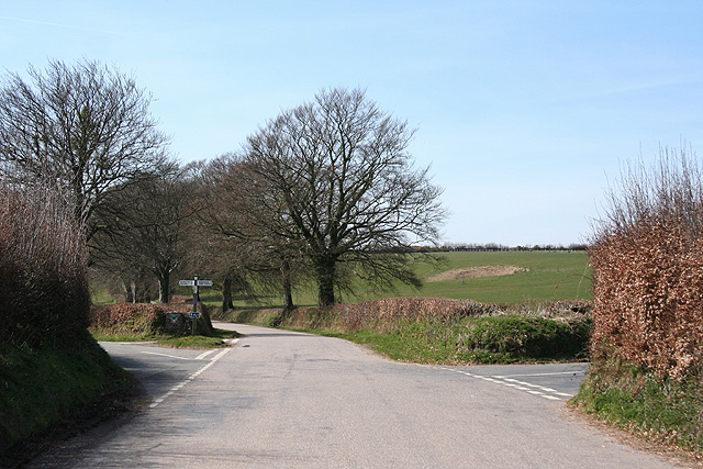
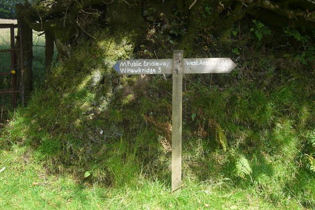
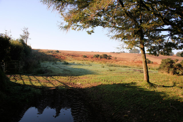
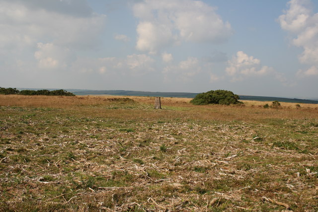
East Anstey Images

Images are sourced within 2km of 51.049633/-3.624845 or Grid Reference SS8629. Thanks to Geograph Open Source API. All images are credited.

Exmoor Ponies on Anstey Money Common
Anstey Money Common On the Two Moors Way
Anstey Money Common
On the Two Moors Way
Exe Valley Way: near Great Gate On the Exe Valley Way between Hawkridge and Brewer Castle.
Exe Valley Way: near Great Gate
On the Exe Valley Way between Hawkridge and Brewer Castle.
Exmoor ponies on Woodland Common Near Badlake Moor Cross
Exmoor ponies on Woodland Common
Near Badlake Moor Cross
IIMW sculpture by Peter Randall Page See also Granite Song in <a href="https://www.geograph.org.uk/gridref/SX7189">SX7189</a>
IIMW sculpture by Peter Randall Page
See also Granite Song in SX7189
West Anstey: village Looking north from the Two Moors Way
West Anstey: village
Looking north from the Two Moors Way
West Anstey: churchyard The present church was dedicated in November 1319 and was heavily restored in 1880. It is now St Petrock’s but may have been dedicated to the Holy Trinity in the 14th century. A Norman font survives from an earlier church
West Anstey: churchyard
The present church was dedicated in November 1319 and was heavily restored in 1880. It is now St Petrock’s but may have been dedicated to the Holy Trinity in the 14th century. A Norman font survives from an earlier church
West Anstey: near Woodland Common Looking east
West Anstey: near Woodland Common
Looking east
West Anstey: Woodland Common The common has recently stripped of gorse. Looking north east from a point above Woodland Farm
West Anstey: Woodland Common
The common has recently stripped of gorse. Looking north east from a point above Woodland Farm
West Anstey Common The Ridge Road over West Anstey Common.
West Anstey Common
The Ridge Road over West Anstey Common.
Spring Beeches Beech trees lining the road on Twitchen Common.
Spring Beeches
Beech trees lining the road on Twitchen Common.
East Anstey: Five Cross Ways Looking west-south-west. The road ahead leads to West Anstey Common and Molland. The left turn runs to West Anstey and Yeo Mill. Right for Hawkridge and Tarr Steps. Behind the camera are roads from Oldways End and Dulverton. This is also the border between Somerset and Devon and the boundary of the Exmoor National Park - the park sign is by the signpost
East Anstey: Five Cross Ways
Looking west-south-west. The road ahead leads to West Anstey Common and Molland. The left turn runs to West Anstey and Yeo Mill. Right for Hawkridge and Tarr Steps. Behind the camera are roads from Oldways End and Dulverton. This is also the border between Somerset and Devon and the boundary of the Exmoor National Park - the park sign is by the signpost
East Anstey: East Liscombe A farmhouse with self-catering holiday cottages rated 4-star by the English Tourism Council. The barn on the right retains an old threshing machine which was powered by horses in a round house attached to the building. Looking west-north-west. See also <span class="nowrap"><a title="http://www.ansteymillscottagedevon.co.uk" rel="nofollow ugc noopener" href="http://www.ansteymillscottagedevon.co.uk">Link</a><img style="margin-left:2px;" alt="External link" title="External link - shift click to open in new window" src="https://s1.geograph.org.uk/img/external.png" width="10" height="10"/></span>
East Anstey: East Liscombe
A farmhouse with self-catering holiday cottages rated 4-star by the English Tourism Council. The barn on the right retains an old threshing machine which was powered by horses in a round house attached to the building. Looking west-north-west. See also LinkExternal link
East Anstey: West Liscombe Looking south west by the path from Dulverton to Waddicombe
East Anstey: West Liscombe
Looking south west by the path from Dulverton to Waddicombe
Badlake Moor Cross This finger post gives distances on the Two Moors Way.
Badlake Moor Cross
This finger post gives distances on the Two Moors Way.
Farmland near East Anstey Common Looking NNE with a mist covered Barle River valley in the distance.
Farmland near East Anstey Common
Looking NNE with a mist covered Barle River valley in the distance.
East Anstey Common Looking south-west with the morning dew visible on the grass.
East Anstey Common
Looking south-west with the morning dew visible on the grass.
Trig point on Anstey Money Common
Show me another place!

East Anstey is located at Grid Ref: SS8629 (Lat: 51.049633, Lng: -3.624845)

Administrative County: Devon

District: North Devon

Police Authority: Devon & Cornwall

What 3 Words

///severe.works.exacted. Near Dulverton, Somerset

Related Wikis

Church of St Giles, Hawkridge

The Anglican Church of St Giles in Hawkridge, Somerset, England was built in the 14th century. It is a Grade II* listed building. == History == The oldest...

West Anstey

West Anstey is a village and civil parish on the River Yeo, about 5 miles west of Dulverton, in the North Devon district, in the county of Devon, England...

Brewer's Castle

Brewer's Castle is a defended Iron Age settlement in the West Somerset district of Somerset, England. The hill fort is situated approximately 2 miles...

Mounsey Castle

Mounsey Castle is an Iron Age irregular triangular earthwork of 1.75 hectares (4.3 acres) north west of Dulverton, Somerset, England. It has been scheduled...

Nearby Amenities

Located within 500m of 51.049633,-3.624845
Parking
Lat/Long: 51.0478766/-3.6311717
Barrier: cattle_grid
Lat/Long: 51.0471848/-3.6292497
Anstey Moor Gate
Junction: yes
Note: precise location established by user Xvy, see note 3658067, even though this is point is not the junction itself strictly speaking
Source Name: Note 3658067
Lat/Long: 51.0477204/-3.6309536
The data included in this document is from www.openstreetmap.org. The data is made available under ODbL.

Have you been to East Anstey?

Leave your review of East Anstey below (or comments, questions and feedback).