Dunford

Civil Parish in Yorkshire Barnsley

England

Dunford

Lady Cross above Woodhead This ancient cross marked the highest point of the packhorse route over the moors above Woodhead.
Lady Cross above Woodhead Credit: Colin Park

Dunford is a civil parish located in the metropolitan borough of Barnsley, South Yorkshire, England. Situated in the heart of the Pennines, it is a rural area surrounded by stunning natural beauty. Covering an area of approximately 10 square miles, Dunford is home to a small population and offers a tranquil and close-knit community.

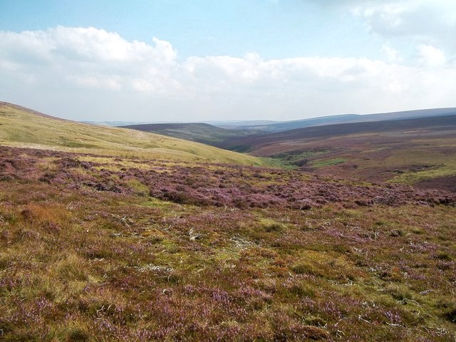
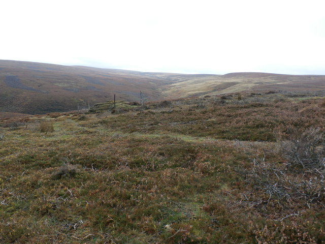
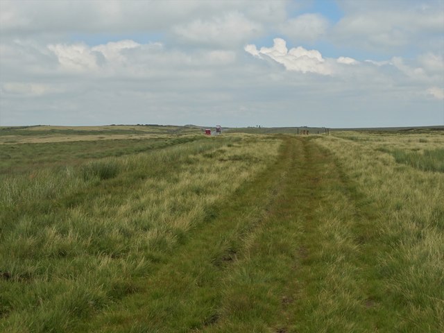
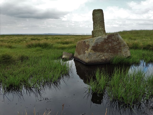
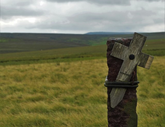
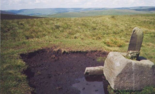
The parish is known for its picturesque landscapes, with rolling hills, lush green fields, and charming woodlands. It is a haven for outdoor enthusiasts, offering numerous opportunities for hiking, cycling, and exploring the countryside. The nearby Langsett Reservoir provides a serene setting for walks and nature spotting.

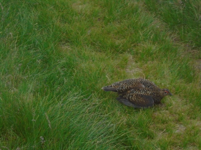
Dunford is part of the Peak District National Park, which further enhances its appeal for visitors seeking nature and adventure. The area boasts a diverse range of flora and fauna, making it a popular spot for wildlife enthusiasts and photographers.

The village of Dunford itself is quaint and peaceful, with traditional stone buildings and a sense of history. It has a small primary school, a village hall, and a local pub, which serves as a popular meeting place for residents. While the parish lacks major amenities, the nearby towns of Penistone and Holmfirth offer a range of shops, restaurants, and services.

Overall, Dunford is a hidden gem nestled in the heart of the Yorkshire countryside. Its natural beauty, welcoming community, and proximity to the Peak District make it an ideal destination for those seeking a peaceful retreat or outdoor adventure.

If you have any feedback on the listing, please let us know in the comments section below.
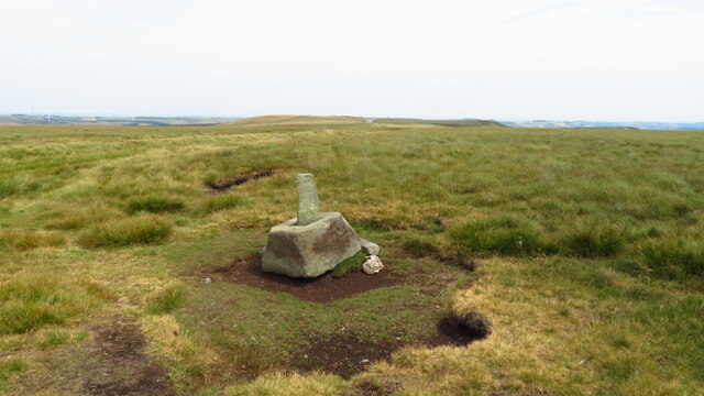
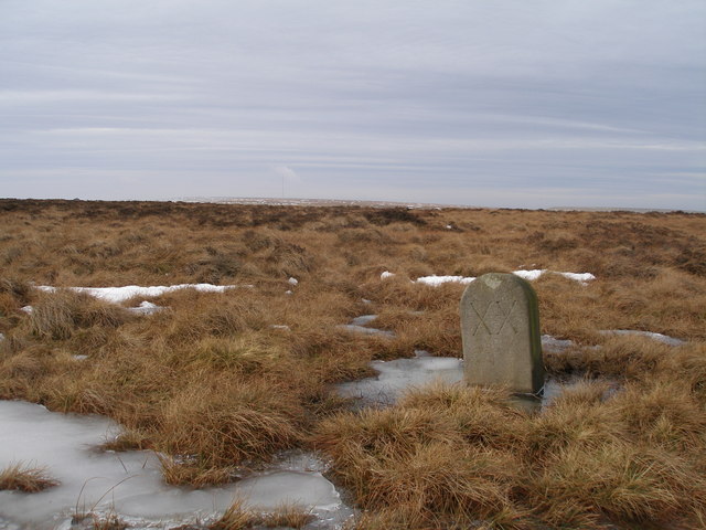
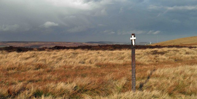
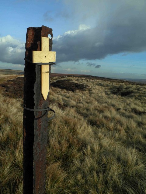
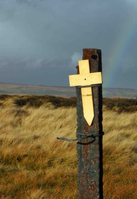
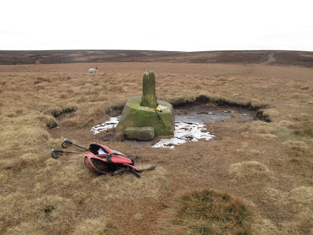
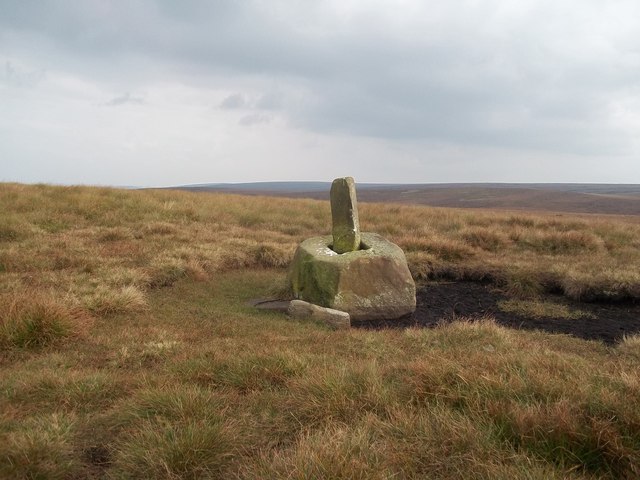
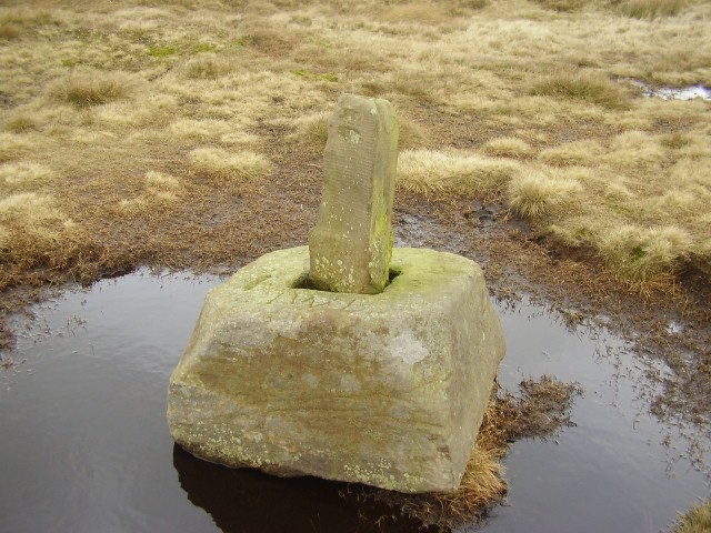
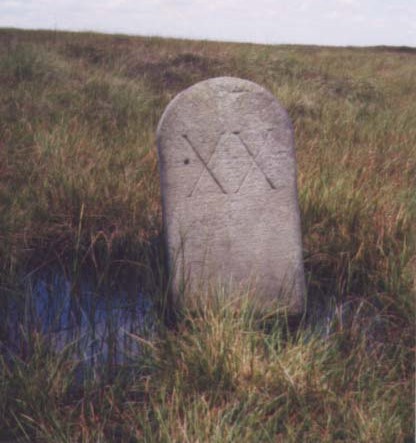
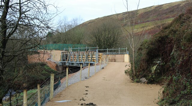
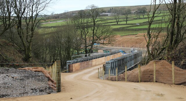
Dunford Images

Images are sourced within 2km of 53.508315/-1.763281 or Grid Reference SE1501. Thanks to Geograph Open Source API. All images are credited.

Lady Cross above Woodhead This ancient cross marked the highest point of the packhorse route over the moors above Woodhead.
Lady Cross above Woodhead
This ancient cross marked the highest point of the packhorse route over the moors above Woodhead.
Milestone on the old road near Lady Cross
Remembrance day On the track to Lady Cross on the Saltersbrook road (track) remembrance day crosses have been placed. See <a href="https://www.geograph.org.uk/photo/3219627">SK1599 : Moorland remembrance</a>
Remembrance day
On the track to Lady Cross on the Saltersbrook road (track) remembrance day crosses have been placed. See SK1599 : Moorland remembrance
Moorland remembrance On the track to Lady Cross on the Saltersbrook road (track) remembrance day crosses have been placed. See <a href="https://www.geograph.org.uk/photo/3219626">SK1599 : Remembrance day</a>
Moorland remembrance
On the track to Lady Cross on the Saltersbrook road (track) remembrance day crosses have been placed. See SK1599 : Remembrance day
Remembrance Cross and rainbow Remembrance crosses attached to moorland fence.
Remembrance Cross and rainbow
Remembrance crosses attached to moorland fence.
Lady Cross Lady Cross photoed on way to Hoar Stones and Horse Stone Naze on a cool morning.
Lady Cross
Lady Cross photoed on way to Hoar Stones and Horse Stone Naze on a cool morning.
Lady Cross Situated around 400 metres south of the A628 Road.
Lady Cross
Situated around 400 metres south of the A628 Road.
Loftshaw Clough
Loftshaw Clough
Grouse Butts near Wicken Hill Loftshaw Clough can also be seen here beyond the butts.
Grouse Butts near Wicken Hill
Loftshaw Clough can also be seen here beyond the butts.
Ancient track north of Loftshaw Brook
Lady Cross to the east of Long Grough An ancient wayside guidepost which have one assisted carriers  transporting goods, including salt, across these wild moors.
Lady Cross to the east of Long Grough
An ancient wayside guidepost which have one assisted carriers transporting goods, including salt, across these wild moors.
Remembrance cross by the track to Lady Cross On the moors south of the A628, attached to a steel post. Why this remote location was chosen for such a symbol of remembrance is rather puzzling. There are others on similar posts close by. For example:- <a title="https://www.geograph.org.uk/photo/3219632" href="https://www.geograph.org.uk/photo/3219632">Link</a>
Remembrance cross by the track to Lady Cross
On the moors south of the A628, attached to a steel post. Why this remote location was chosen for such a symbol of remembrance is rather puzzling. There are others on similar posts close by. For example:- Link
Old Wayside Cross - Lady Cross, Woodhead Road, Langsett parish Lady Cross, old shaft and base, by the UC road, in parish of Dunford (Barnsley District), Woodhead Road summit (Old Salt Road), 1km Southwest of junction with Windleden Lane, boundary with Langsett Parish (Note old OS shows "Lady Cross" to the Northwest and this as the old site).

Grade II listed.
List Entry Number: 1151101 <span class="nowrap"><a title="https://historicengland.org.uk/listing/the-list/list-entry/1151101" rel="nofollow ugc noopener" href="https://historicengland.org.uk/listing/the-list/list-entry/1151101">Link</a><img style="margin-left:2px;" alt="External link" title="External link - shift click to open in new window" src="https://s1.geograph.org.uk/img/external.png" width="10" height="10"/></span>

Scheduled Monument.
List Entry Number: 1012157 <span class="nowrap"><a title="https://historicengland.org.uk/listing/the-list/list-entry/1012157" rel="nofollow ugc noopener" href="https://historicengland.org.uk/listing/the-list/list-entry/1012157">Link</a><img style="margin-left:2px;" alt="External link" title="External link - shift click to open in new window" src="https://s1.geograph.org.uk/img/external.png" width="10" height="10"/></span>

To be surveyed

Milestone Society National ID: YSBA_DUN01
Old Wayside Cross - Lady Cross, Woodhead Road, Langsett parish
Lady Cross, old shaft and base, by the UC road, in parish of Dunford (Barnsley District), Woodhead Road summit (Old Salt Road), 1km Southwest of junction with Windleden Lane, boundary with Langsett Parish (Note old OS shows "Lady Cross" to the Northwest and this as the old site). Grade II listed. List Entry Number: 1151101 LinkExternal link Scheduled Monument. List Entry Number: 1012157 LinkExternal link To be surveyed Milestone Society National ID: YSBA_DUN01
Old Milestone by the Old Saltway Track, south of Woodhead Road Carved stone post by the track, in parish of DUNFORD (BARNSLEY District), Woodhead Road, Fiddlers Green, on moor, to South of the A628, on North side of old saltway track, 400m from gate with stile at SE 1554 0006. Erected by an unknown authority in the 18th century.

Inscription reads:- : XX : (To Rotherham) 

Listed.

Milestone Society National ID: YS_RMWH20.
Old Milestone by the Old Saltway Track, south of Woodhead Road
Carved stone post by the track, in parish of DUNFORD (BARNSLEY District), Woodhead Road, Fiddlers Green, on moor, to South of the A628, on North side of old saltway track, 400m from gate with stile at SE 1554 0006. Erected by an unknown authority in the 18th century. Inscription reads:- : XX : (To Rotherham) Listed. Milestone Society National ID: YS_RMWH20.
Old Wayside Cross by the Old Salt Road, south of the A628, Woodhead Road Lady Cross, old shaft and base by the UC track, in parish of Dunford (Barnsley District), Woodhead Road summit (Old Salt Road), 1km South West of junction with Windleden Lane, boundary with Langsett Parish (note old OS shows "Lady Cross" to the North West, and this as the old site).

To be surveyed (Grade II Listed)

Milestone Society National ID: YSBA_DUN01
Old Wayside Cross by the Old Salt Road, south of the A628, Woodhead Road
Lady Cross, old shaft and base by the UC track, in parish of Dunford (Barnsley District), Woodhead Road summit (Old Salt Road), 1km South West of junction with Windleden Lane, boundary with Langsett Parish (note old OS shows "Lady Cross" to the North West, and this as the old site). To be surveyed (Grade II Listed) Milestone Society National ID: YSBA_DUN01
Moorland bird From its crouching stance this red grouse by the side of the Saltway track near Lady's Cross may have had young nearby.
Moorland bird
From its crouching stance this red grouse by the side of the Saltway track near Lady's Cross may have had young nearby.
Temporary bridge on the TPT diversion at Dunford Bridge This is a temporary bridge on the Trans Pennine Trail diversion at Dunford Bridge. It came into use in late 2021 and will remain until seven electricity pylons have been removed. The cable will be buried under the TPT.
Temporary bridge on the TPT diversion at Dunford Bridge
This is a temporary bridge on the Trans Pennine Trail diversion at Dunford Bridge. It came into use in late 2021 and will remain until seven electricity pylons have been removed. The cable will be buried under the TPT.
Bridge on the Trans Pennine Trail diversion This is a new (permanent) bridge on the Trans Pennine Trail diversion at Dunford Bridge. It came into use in late 2021. The diversion will remain until seven electricity pylons have been removed. The cable will be buried under the TPT.
Bridge on the Trans Pennine Trail diversion
This is a new (permanent) bridge on the Trans Pennine Trail diversion at Dunford Bridge. It came into use in late 2021. The diversion will remain until seven electricity pylons have been removed. The cable will be buried under the TPT.
Show me another place!

Dunford is located at Grid Ref: SE1501 (Lat: 53.508315, Lng: -1.763281)

Division: West Riding

Administrative County: South Yorkshire

District: Barnsley

Police Authority: South Yorkshire

What 3 Words

///fresh.earphones.tentacles. Near Holmfirth, West Yorkshire

Related Wikis

Dunford Bridge railway station

Dunford Bridge railway station was a railway station that served the village of Dunford Bridge on the Sheffield, Ashton-under-Lyne and Manchester Railway...

Dunford Bridge

Dunford Bridge is a remote hamlet in the civil parish of Dunford, lying northwest of Sheffield in South Yorkshire, England, 1.3 miles (2 km) from the...

Winscar Reservoir

Winscar Reservoir (also known as Winscar dam), is a compensation reservoir on the headwaters of the River Don in South Yorkshire, England. The reservoir...

Dunford

Dunford is a civil parish in the Metropolitan Borough of Barnsley, 14.5 miles (23.3 km) northwest of Sheffield in South Yorkshire, England. It lies in...

Longdendale

Longdendale is a valley in the Peak District of England, north of Glossop and southwest of Holmfirth. The name means "long wooded valley" and the valley...

Carlecotes

Carlecotes is a village in the metropolitan borough of Barnsley in South Yorkshire, England. Carlecotes is within Dunford civil parish. The village is...

Hazlehead Bridge railway station

Hazlehead Bridge railway station was a railway station on the Sheffield, Ashton-under-Lyne and Manchester Railway's Woodhead Line. It served villages scattered...

Hade Edge

Hade Edge is a small village to the south of Holmfirth and southeast of Hepworth in West Yorkshire, England. It is in the parish of Holme Valley and the...

Nearby Amenities

Located within 500m of 53.508315,-1.763281
Power: pole
Lat/Long: 53.511812/-1.7668904
Power: pole
Lat/Long: 53.5112825/-1.7670098
Power: pole
Lat/Long: 53.5110089/-1.7680465
Power: pole
Lat/Long: 53.5107561/-1.7690201
Hunting Stand
Hunting Stand: grouse_butt
Lat/Long: 53.5091287/-1.7561459
Hunting Stand
Hunting Stand: grouse_butt
Lat/Long: 53.5093769/-1.7574701
Hunting Stand
Hunting Stand: grouse_butt
Lat/Long: 53.5105923/-1.7571109
Hunting Stand
Hunting Stand: grouse_butt
Lat/Long: 53.5087696/-1.757643
Hunting Stand
Hunting Stand: grouse_butt
Lat/Long: 53.5086027/-1.7564534
Hunting Stand
Hunting Stand: grouse_butt
Lat/Long: 53.5099387/-1.7572849
Hunting Stand
Hunting Stand: grouse_butt
Lat/Long: 53.5082601/-1.7577528
Hunting Stand
Hunting Stand: grouse_butt
Lat/Long: 53.5081182/-1.7567517
The data included in this document is from www.openstreetmap.org. The data is made available under ODbL.

Have you been to Dunford?

Leave your review of Dunford below (or comments, questions and feedback).