Dunham Massey
Civil Parish in Cheshire Trafford
England
Dunham Massey

Dunham Massey is a civil parish located in the county of Cheshire, England. It is situated approximately 12 miles southwest of Manchester and covers an area of around 9 square kilometers. The parish is part of the borough of Trafford and falls within the Altrincham and Sale West parliamentary constituency.
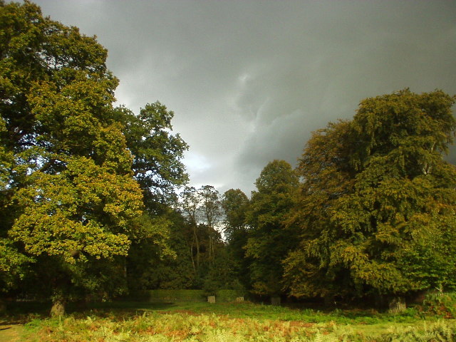
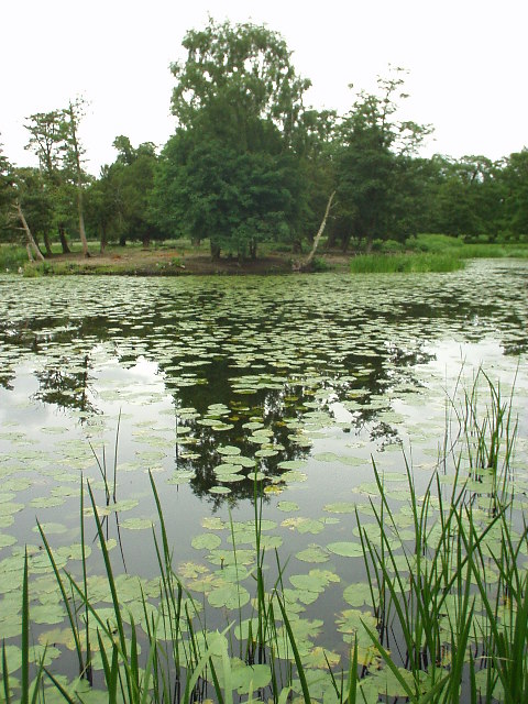
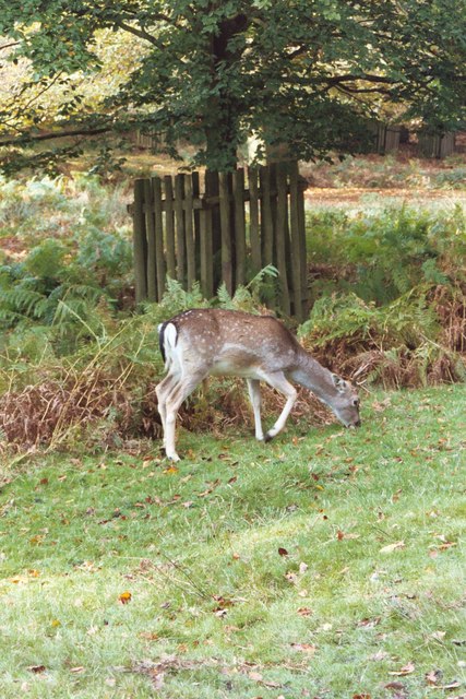
The centerpiece of Dunham Massey is Dunham Massey Hall, a stunning Georgian mansion that has a rich history dating back to the 17th century. The hall is surrounded by a picturesque deer park, which spans over 250 acres and is home to a herd of fallow deer. The park also features beautifully landscaped gardens, woodlands, and a lake, providing visitors with ample opportunities for leisurely walks and wildlife spotting.
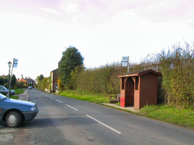
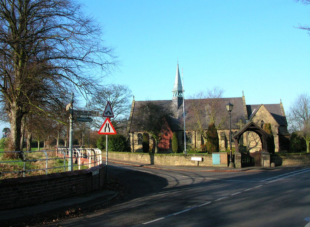
The village of Dunham Massey itself is small but charming, with a population of around 700 residents. It has a quaint country village atmosphere and is known for its historic buildings, including a medieval church dedicated to St Margaret. The village also has a few local amenities, such as a primary school, a village hall, and a small number of shops and pubs.
Dunham Massey is a popular tourist destination, attracting visitors from near and far who come to explore the hall, enjoy the parkland, and immerse themselves in the area's rich heritage. It offers a mix of natural beauty, cultural attractions, and a peaceful rural setting, making it an idyllic escape from the nearby bustling city of Manchester.
If you have any feedback on the listing, please let us know in the comments section below.
Dunham Massey Images
Images are sourced within 2km of 53.395843/-2.395227 or Grid Reference SJ7388. Thanks to Geograph Open Source API. All images are credited.


Dunham Massey is located at Grid Ref: SJ7388 (Lat: 53.395843, Lng: -2.395227)
Administrative County: Greater Manchester
District: Trafford
Police Authority: Greater Manchester
What 3 Words
///stapled.sheepish.often. Near Bowdon, Manchester
Nearby Locations
Related Wikis

Dunham railway station (Greater Manchester)
Dunham W&SR railway station served Dunham Town between 1854 and closure in 1855. == Construction and opening == The Warrington and Altrincham Junction...
Black Moss Covert Nature Reserve
Black Moss Covert Nature Reserve is a 2.1 hectare nature reserve in England managed by the Cheshire Wildlife Trust. It is a Site of Biological Importance...
Dunham Town
Dunham Town is a village in the civil parish of Dunham Massey in the Metropolitan Borough of Trafford, Greater Manchester, England. It was historically...
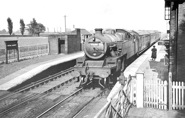
Dunham Massey railway station
Dunham Massey railway station was a station in England, serving the Dunham Massey. The station opened in 1854 and closed in 1962. == Construction and... ==

Dunham Castle
Dunham Castle is an early medieval castle in Dunham Massey, Greater Manchester, England (grid reference SJ73428742). == History == The castle is first...
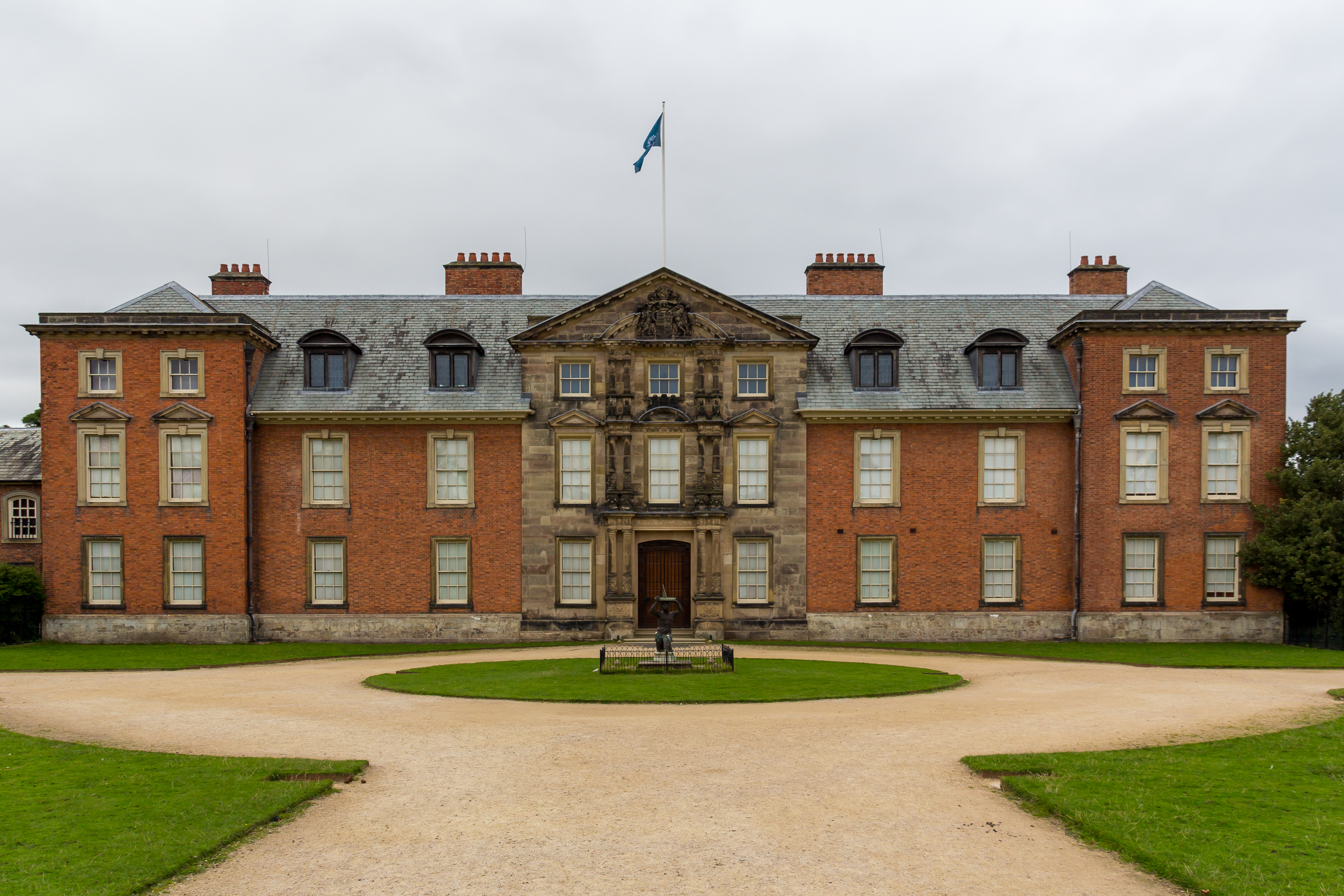
Dunham Massey Hall
Dunham Massey Hall, usually known simply as Dunham Massey, is an English country house in the parish of Dunham Massey in the district of Trafford, near...
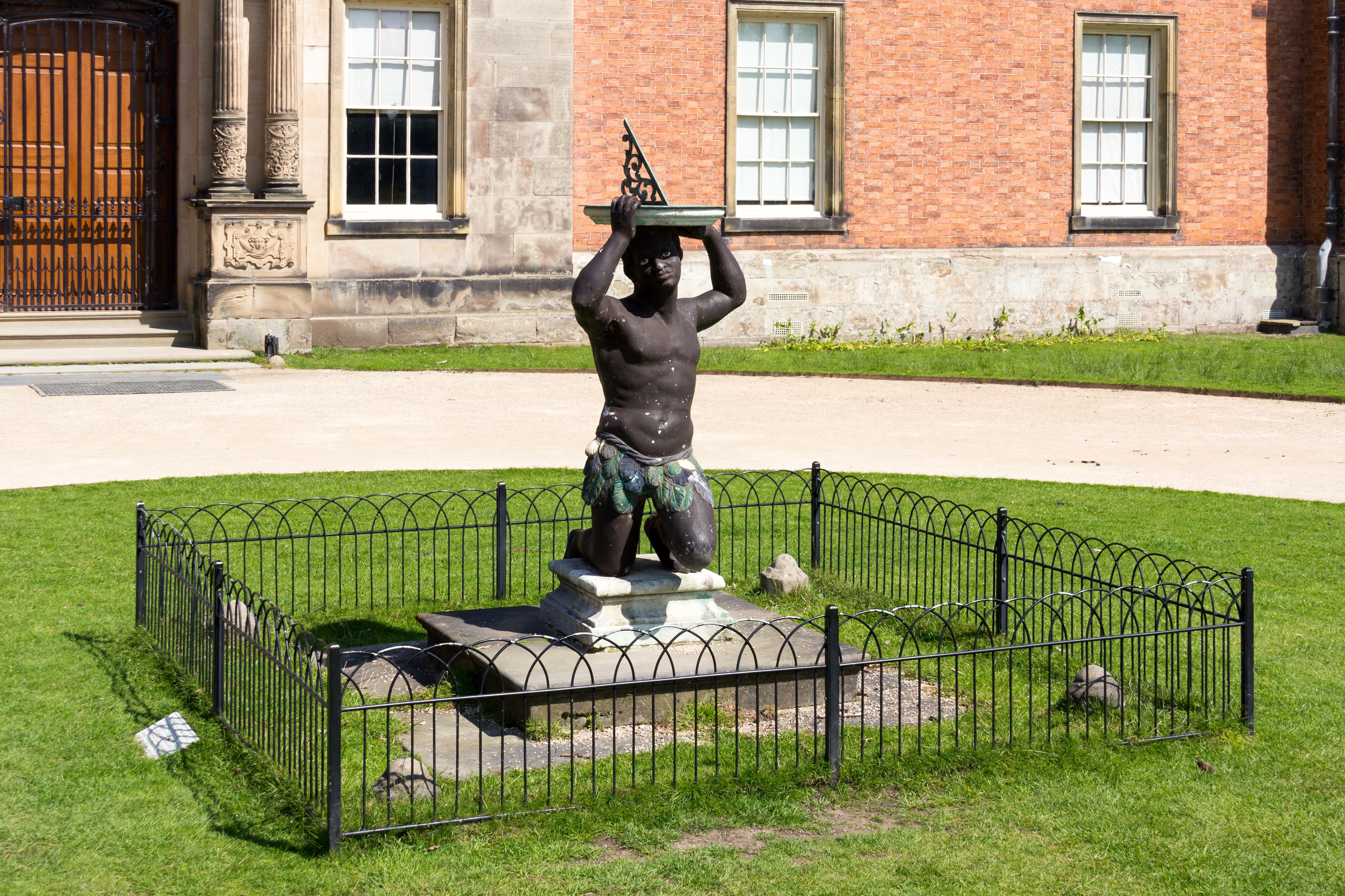
Dunham Massey Hall sundial
The Dunham Massey Hall sundial is a lead sculpture depicting a kneeling Black man holding a sundial on his head. It was created during the early 18th century...
Brookheys Covert Nature Reserve
Brookheys Covert Nature Reserve is a Site of Special Scientific Interest and nature reserve managed by the Cheshire Wildlife Trust. It is located at SJ...
Nearby Amenities
Located within 500m of 53.395843,-2.395227Have you been to Dunham Massey?
Leave your review of Dunham Massey below (or comments, questions and feedback).