Upper Windleden Reservoir
Lake, Pool, Pond, Freshwater Marsh in Yorkshire
England
Upper Windleden Reservoir
Upper Windleden Reservoir is a freshwater reservoir located in the picturesque Yorkshire Dales, England. It is a man-made lake that was created in the late 19th century to supply water to the surrounding areas. The reservoir covers an area of approximately 20 hectares and is nestled amidst rolling hills and lush greenery.
The water in Upper Windleden Reservoir is sourced from the nearby River Windle and is primarily used for drinking water supply and irrigation purposes. The reservoir is fed by several small streams that flow into it, ensuring a constant supply of freshwater.
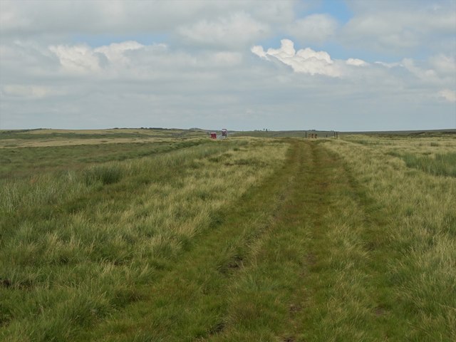
Surrounded by a mixture of open farmland and woodland, Upper Windleden Reservoir offers visitors a tranquil and scenic setting. The reservoir attracts a variety of bird species, making it a popular spot for birdwatching enthusiasts. Visitors can spot waterfowl such as ducks and swans, as well as the occasional heron or kingfisher.
The reservoir also provides opportunities for recreational activities such as fishing and boating. Anglers can enjoy fishing for species like trout and perch, while boaters can take advantage of the calm waters for a peaceful row or paddle.
Upper Windleden Reservoir is a valuable natural resource, providing both water supply and a habitat for wildlife in the Yorkshire Dales. Its scenic beauty and recreational opportunities make it a popular destination for nature lovers and outdoor enthusiasts alike.
If you have any feedback on the listing, please let us know in the comments section below.
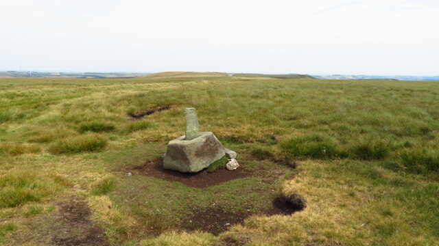
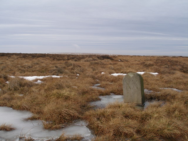
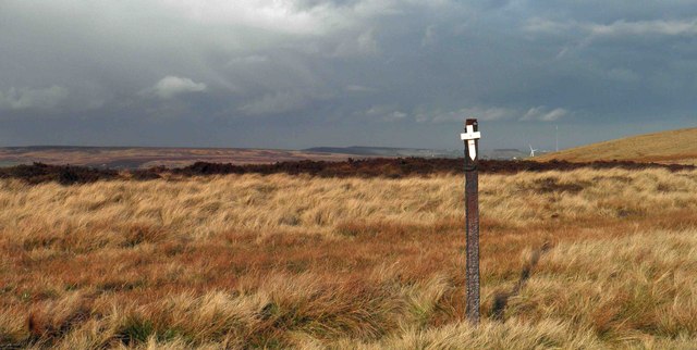
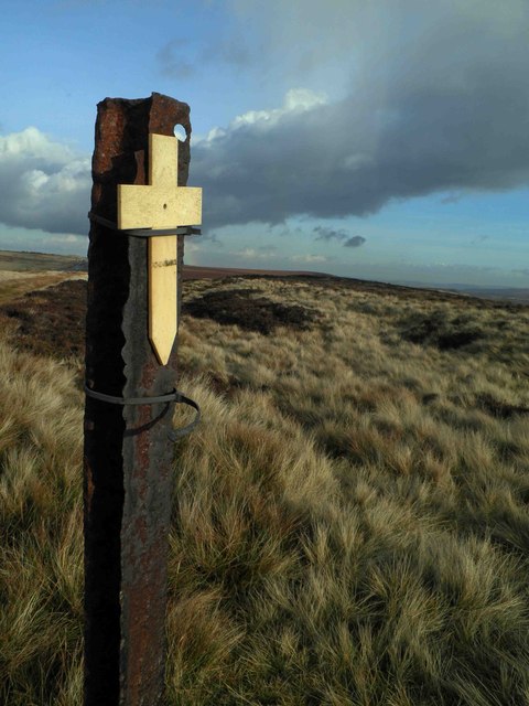
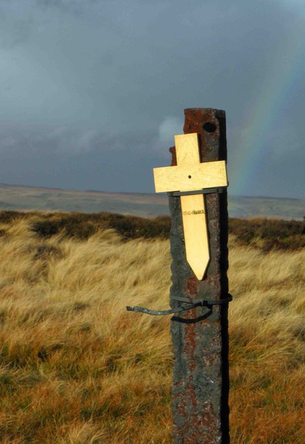
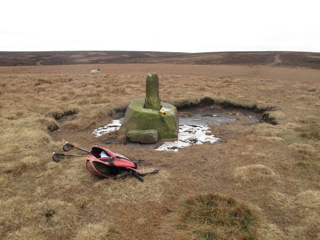
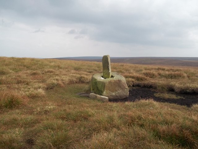
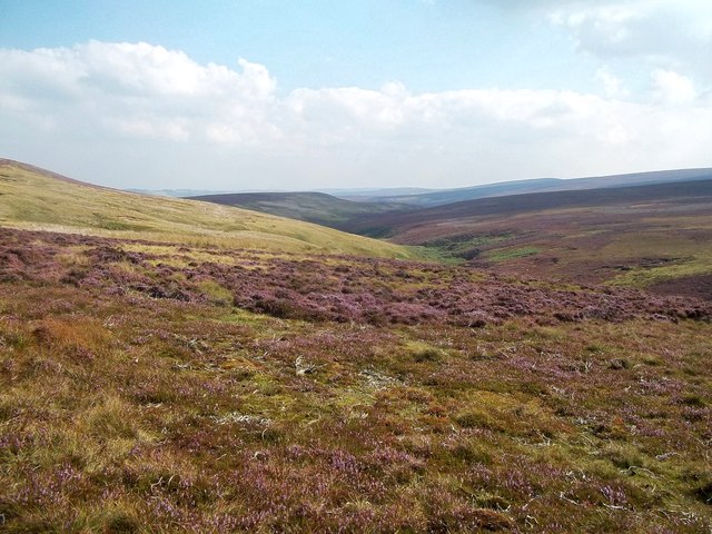
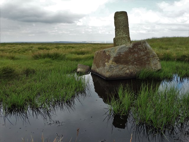
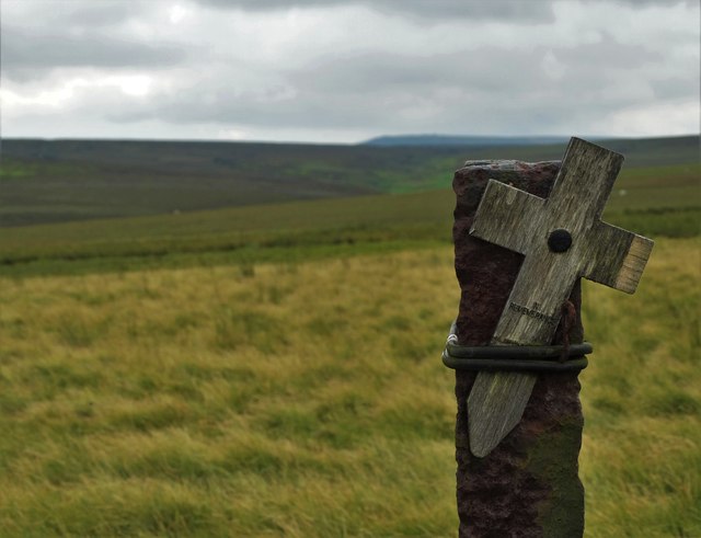
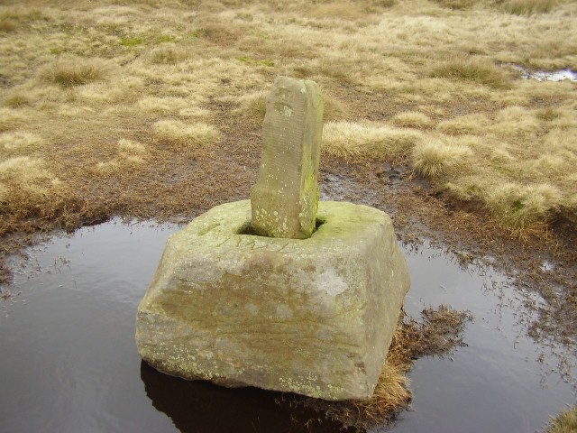
Upper Windleden Reservoir Images
Images are sourced within 2km of 53.507038/-1.7724401 or Grid Reference SE1501. Thanks to Geograph Open Source API. All images are credited.


Upper Windleden Reservoir is located at Grid Ref: SE1501 (Lat: 53.507038, Lng: -1.7724401)
Division: West Riding
Unitary Authority: Barnsley
Police Authority: South Yorkshire
What 3 Words
///unloading.aimed.ramble. Near Holmfirth, West Yorkshire
Related Wikis

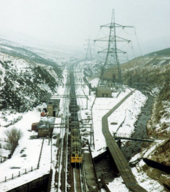
Dunford Bridge railway station
Dunford Bridge railway station was a railway station that served the village of Dunford Bridge on the Sheffield, Ashton-under-Lyne and Manchester Railway...

Winscar Reservoir
Winscar Reservoir (also known as Winscar dam), is a compensation reservoir on the headwaters of the River Don in South Yorkshire, England. The reservoir...

Dunford Bridge
Dunford Bridge is a remote hamlet in the civil parish of Dunford, lying northwest of Sheffield in South Yorkshire, England, 1.3 miles (2 km) from the...

Longdendale
Longdendale is a valley in the Peak District of England, north of Glossop and southwest of Holmfirth. The name means "long wooded valley" and the valley...

Dunford
Dunford is a civil parish in the Metropolitan Borough of Barnsley, 14.5 miles (23.3 km) northwest of Sheffield in South Yorkshire, England. It lies in...

Carlecotes
Carlecotes is a village in the metropolitan borough of Barnsley in South Yorkshire, England. Carlecotes is within Dunford civil parish. The village is...

Hade Edge
Hade Edge is a small village to the south of Holmfirth and southeast of Hepworth in West Yorkshire, England. It is in the parish of Holme Valley and the...
Woodhead railway station
Woodhead railway station was a railway station that served the hamlet of Woodhead on the Woodhead Line. == History == The station was opened on 8 April...
Nearby Amenities
Located within 500m of 53.507038,-1.7724401Have you been to Upper Windleden Reservoir?
Leave your review of Upper Windleden Reservoir below (or comments, questions and feedback).