Lower Windleden Reservoir

Lake, Pool, Pond, Freshwater Marsh in Yorkshire

England

Lower Windleden Reservoir

Milestone on the old road near Lady Cross
Milestone on the old road near Lady Cross Credit: John Slater

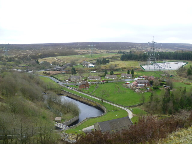
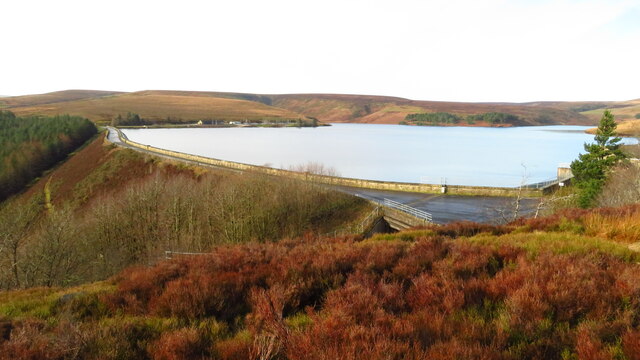
Lower Windleden Reservoir is a picturesque freshwater body located in the county of Yorkshire, England. Situated amidst the stunning natural beauty of the Peak District National Park, this reservoir serves as an important water source and a popular recreational spot for both locals and tourists.

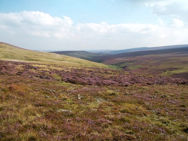
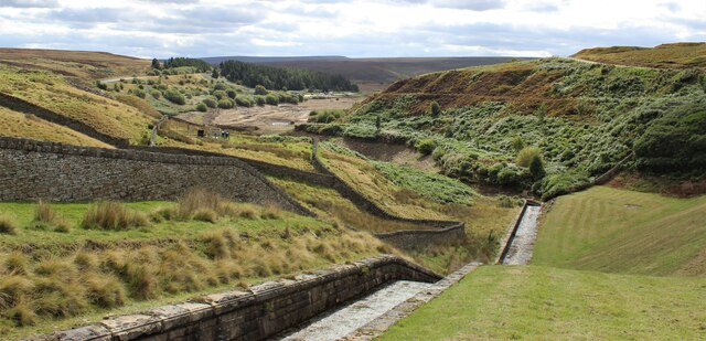
Covering an area of approximately 50 acres, Lower Windleden Reservoir is characterized by its calm and tranquil atmosphere. The reservoir is surrounded by rolling hills and lush greenery, providing a serene backdrop for visitors to enjoy. Its crystal-clear waters are fed by natural springs and streams, ensuring a constant supply of fresh water throughout the year.

The reservoir is home to a diverse range of flora and fauna, making it a haven for nature enthusiasts. The surrounding marshes and wetlands provide a habitat for numerous bird species, including herons, ducks, and geese. Wildflowers and reeds also flourish in this environment, adding to the area's natural beauty.

For those seeking recreational activities, Lower Windleden Reservoir offers a range of options. Fishing is a popular pastime, with the reservoir boasting a healthy population of brown trout, perch, and pike. Anglers can enjoy a peaceful day on the water, surrounded by the tranquil landscape.

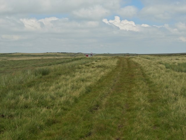
Additionally, the reservoir is a great spot for walking and hiking, with several scenic trails offering breathtaking views of the surrounding countryside. Picnic areas are available, allowing visitors to relax and take in the stunning scenery while enjoying a meal.

Overall, Lower Windleden Reservoir is a captivating destination that combines natural beauty, tranquility, and recreational opportunities. Whether it's for fishing, birdwatching, or simply unwinding amidst nature, this reservoir offers a delightful experience for all who visit.

If you have any feedback on the listing, please let us know in the comments section below.

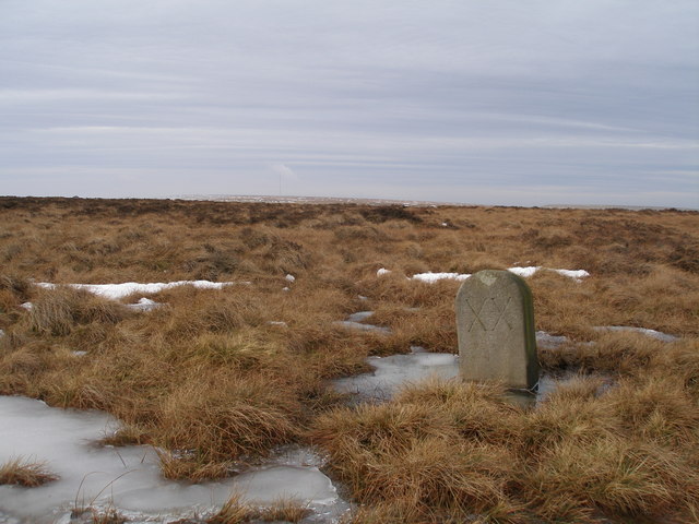
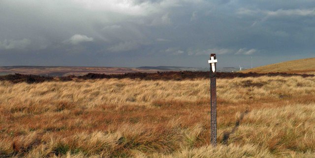
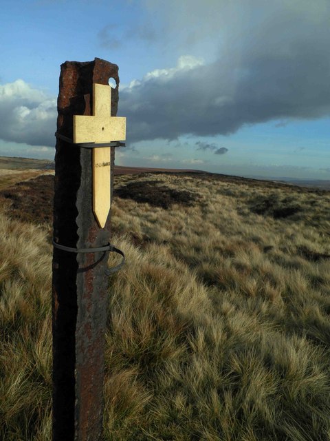
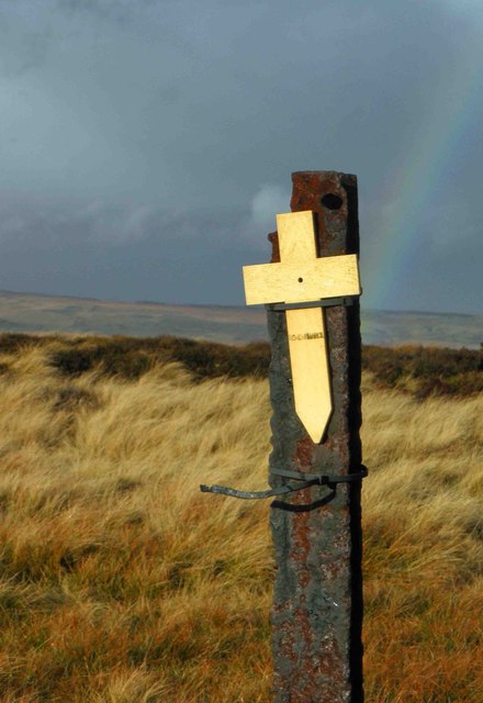
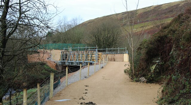
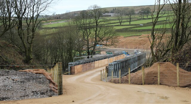
Lower Windleden Reservoir Images

Images are sourced within 2km of 53.512219/-1.7647822 or Grid Reference SE1501. Thanks to Geograph Open Source API. All images are credited.

Milestone on the old road near Lady Cross
Remembrance day On the track to Lady Cross on the Saltersbrook road (track) remembrance day crosses have been placed. See <a href="https://www.geograph.org.uk/photo/3219627">SK1599 : Moorland remembrance</a>
Remembrance day
On the track to Lady Cross on the Saltersbrook road (track) remembrance day crosses have been placed. See SK1599 : Moorland remembrance
Moorland remembrance On the track to Lady Cross on the Saltersbrook road (track) remembrance day crosses have been placed. See <a href="https://www.geograph.org.uk/photo/3219626">SK1599 : Remembrance day</a>
Moorland remembrance
On the track to Lady Cross on the Saltersbrook road (track) remembrance day crosses have been placed. See SK1599 : Remembrance day
Remembrance Cross and rainbow Remembrance crosses attached to moorland fence.
Remembrance Cross and rainbow
Remembrance crosses attached to moorland fence.
Loftshaw Clough
Loftshaw Clough
Ancient track north of Loftshaw Brook
Remembrance cross by the track to Lady Cross On the moors south of the A628, attached to a steel post. Why this remote location was chosen for such a symbol of remembrance is rather puzzling. There are others on similar posts close by. For example:- <a title="https://www.geograph.org.uk/photo/3219632" href="https://www.geograph.org.uk/photo/3219632">Link</a>
Remembrance cross by the track to Lady Cross
On the moors south of the A628, attached to a steel post. Why this remote location was chosen for such a symbol of remembrance is rather puzzling. There are others on similar posts close by. For example:- Link
Old Milestone by the Old Saltway Track, south of Woodhead Road Carved stone post by the track, in parish of DUNFORD (BARNSLEY District), Woodhead Road, Fiddlers Green, on moor, to South of the A628, on North side of old saltway track, 400m from gate with stile at SE 1554 0006. Erected by an unknown authority in the 18th century.

Inscription reads:- : XX : (To Rotherham) 

Listed.

Milestone Society National ID: YS_RMWH20.
Old Milestone by the Old Saltway Track, south of Woodhead Road
Carved stone post by the track, in parish of DUNFORD (BARNSLEY District), Woodhead Road, Fiddlers Green, on moor, to South of the A628, on North side of old saltway track, 400m from gate with stile at SE 1554 0006. Erected by an unknown authority in the 18th century. Inscription reads:- : XX : (To Rotherham) Listed. Milestone Society National ID: YS_RMWH20.
Temporary bridge on the TPT diversion at Dunford Bridge This is a temporary bridge on the Trans Pennine Trail diversion at Dunford Bridge. It came into use in late 2021 and will remain until seven electricity pylons have been removed. The cable will be buried under the TPT.
Temporary bridge on the TPT diversion at Dunford Bridge
This is a temporary bridge on the Trans Pennine Trail diversion at Dunford Bridge. It came into use in late 2021 and will remain until seven electricity pylons have been removed. The cable will be buried under the TPT.
Bridge on the Trans Pennine Trail diversion This is a new (permanent) bridge on the Trans Pennine Trail diversion at Dunford Bridge. It came into use in late 2021. The diversion will remain until seven electricity pylons have been removed. The cable will be buried under the TPT.
Bridge on the Trans Pennine Trail diversion
This is a new (permanent) bridge on the Trans Pennine Trail diversion at Dunford Bridge. It came into use in late 2021. The diversion will remain until seven electricity pylons have been removed. The cable will be buried under the TPT.
Dunford Bridge View from the dam walkway of Winscar Reservoir
Dunford Bridge
View from the dam walkway of Winscar Reservoir
Post Box at Townhead S36 698. Royal Mail list this box as 'Townhead'.
Post Box at Townhead
S36 698. Royal Mail list this box as 'Townhead'.
The run-off to Winscar Reservoir The run-off to Winscar Reservoir, showing the low water level.
The run-off to Winscar Reservoir
The run-off to Winscar Reservoir, showing the low water level.
Winscar Reservoir Dam, Dunford Bridge
Upper Windleden Reservoir near Dunford Bridge
Trig Point on South Nab east of Woodhead Pass
The Snow Road (track) east of South Nab
Old milestone On the A628 before the road drops down to cross Saltersbrook Bridge is this most westerly milestone from the 32 miles Doncaster/Saltersbrook tollroad, 1740-1871.   It was last painted in 2006 for the Peak District National Park.   It is at the far side of the ditch and gets hidden in vegetation.   The painted diamond shape may be a benchmark.  Grade II listed  1315029.
Old milestone
On the A628 before the road drops down to cross Saltersbrook Bridge is this most westerly milestone from the 32 miles Doncaster/Saltersbrook tollroad, 1740-1871. It was last painted in 2006 for the Peak District National Park. It is at the far side of the ditch and gets hidden in vegetation. The painted diamond shape may be a benchmark. Grade II listed 1315029.
Show me another place!

Lower Windleden Reservoir is located at Grid Ref: SE1501 (Lat: 53.512219, Lng: -1.7647822)

Division: West Riding

Unitary Authority: Barnsley

Police Authority: South Yorkshire

What 3 Words

///pinks.rental.waltz. Near Holmfirth, West Yorkshire

Related Wikis

Dunford Bridge railway station

Dunford Bridge railway station was a railway station that served the village of Dunford Bridge on the Sheffield, Ashton-under-Lyne and Manchester Railway...

Dunford Bridge

Dunford Bridge is a remote hamlet in the civil parish of Dunford, lying northwest of Sheffield in South Yorkshire, England, 1.3 miles (2 km) from the...

Winscar Reservoir

Winscar Reservoir (also known as Winscar dam), is a compensation reservoir on the headwaters of the River Don in South Yorkshire, England. The reservoir...

Dunford

Dunford is a civil parish in the Metropolitan Borough of Barnsley, 14.5 miles (23.3 km) northwest of Sheffield in South Yorkshire, England. It lies in...

Carlecotes

Carlecotes is a village in the metropolitan borough of Barnsley in South Yorkshire, England. Carlecotes is within Dunford civil parish. The village is...

Longdendale

Longdendale is a valley in the Peak District of England, north of Glossop and southwest of Holmfirth. The name means "long wooded valley" and the valley...

Hade Edge

Hade Edge is a small village to the south of Holmfirth and southeast of Hepworth in West Yorkshire, England. It is in the parish of Holme Valley and the...

Hazlehead Bridge railway station

Hazlehead Bridge railway station was a railway station on the Sheffield, Ashton-under-Lyne and Manchester Railway's Woodhead Line. It served villages scattered...

Nearby Amenities

Located within 500m of 53.512219,-1.7647822
Power: pole
Lat/Long: 53.5133336/-1.7656875
Power: pole
Lat/Long: 53.5162993/-1.7648533
Power: pole
Lat/Long: 53.515584/-1.7650122
Power: pole
Lat/Long: 53.5149971/-1.7644268
Power: pole
Lat/Long: 53.5142411/-1.7646146
Power: pole
Lat/Long: 53.5124002/-1.7667536
Power: pole
Lat/Long: 53.511812/-1.7668904
Power: pole
Lat/Long: 53.5112825/-1.7670098
Power: pole
Lat/Long: 53.5110089/-1.7680465
Power: pole
Lat/Long: 53.5107561/-1.7690201
Power: pole
Lat/Long: 53.5105113/-1.7699763
Power: pole
Lat/Long: 53.5102904/-1.7708212
The data included in this document is from www.openstreetmap.org. The data is made available under ODbL.

Have you been to Lower Windleden Reservoir?

Leave your review of Lower Windleden Reservoir below (or comments, questions and feedback).