Drighlington

Civil Parish in Yorkshire Leeds

England

Drighlington

Path through the woods, Oakwell Hall Country Park
Path through the woods, Oakwell Hall Country Park Credit: habiloid

Drighlington is a civil parish located in the metropolitan borough of Leeds, in the county of West Yorkshire, England. Situated approximately six miles south-west of Leeds city centre, Drighlington is a small village with a population of around 5,500 people.

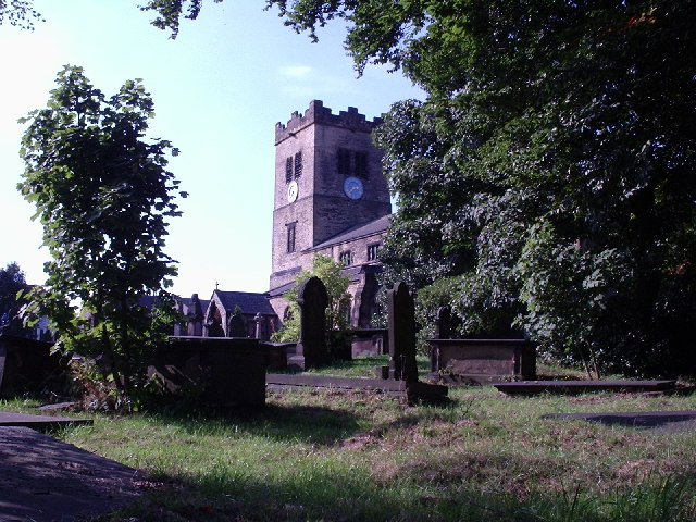
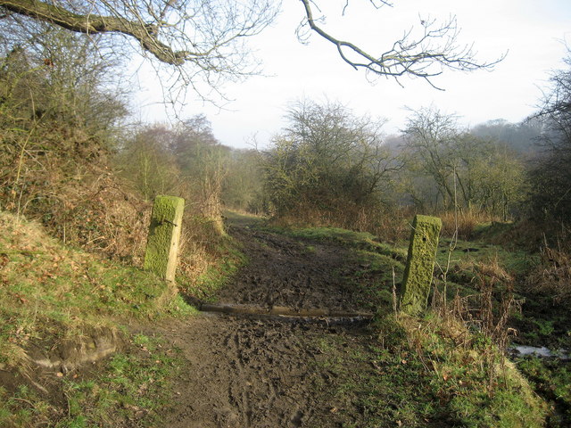
The village is known for its rich history, dating back to the Roman times. It was mentioned in the Domesday Book as "Drevelintone" and has since evolved into a thriving community. Drighlington is surrounded by picturesque countryside, with green fields and rolling hills providing a scenic backdrop.

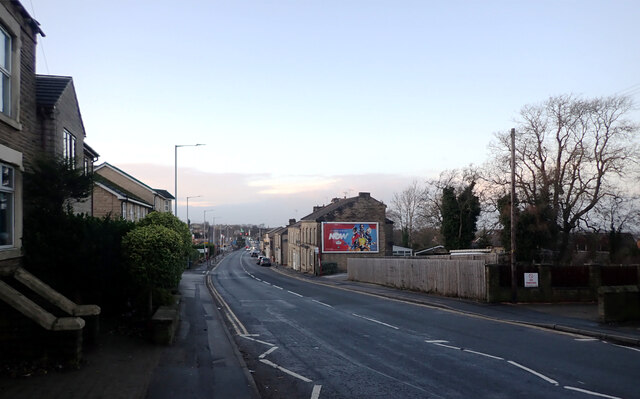
The village is well-connected to other parts of Yorkshire, with easy access to major roads such as the M62 and M621 motorways. This makes Drighlington an ideal location for commuters working in nearby cities like Leeds and Bradford. The village also benefits from a regular bus service, providing convenient transportation options for residents.

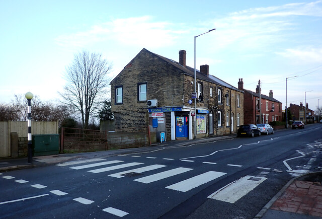
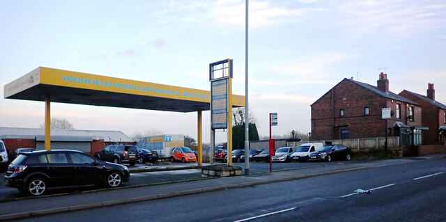
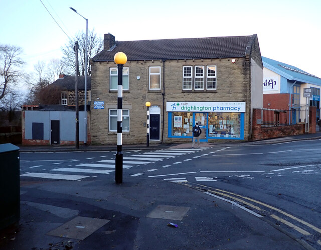
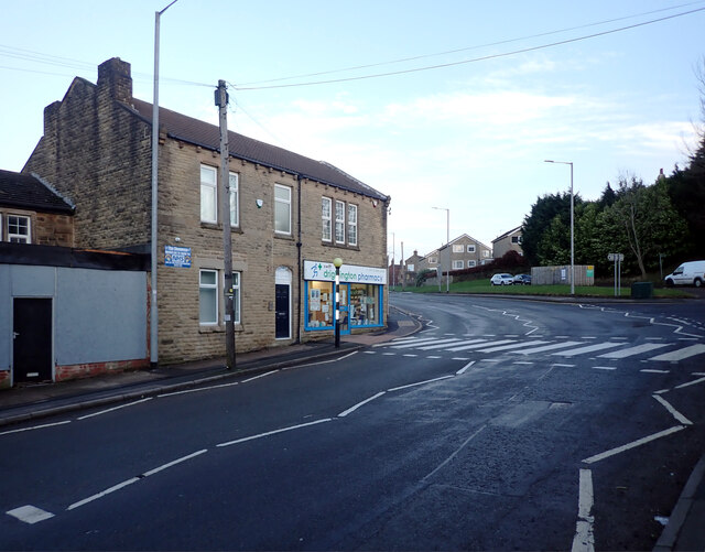
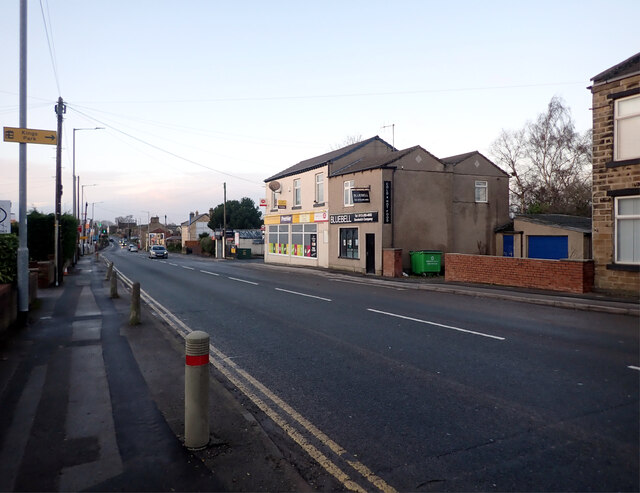
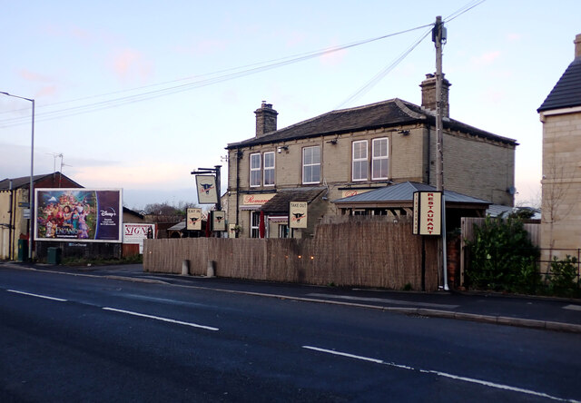
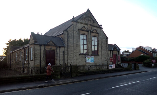
Drighlington boasts a range of amenities and facilities for its residents. These include a primary school, a post office, a library, a health center, and several shops and restaurants. There are also numerous recreational spaces, including parks and sports clubs, offering opportunities for outdoor activities and community events.

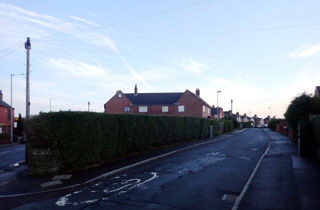
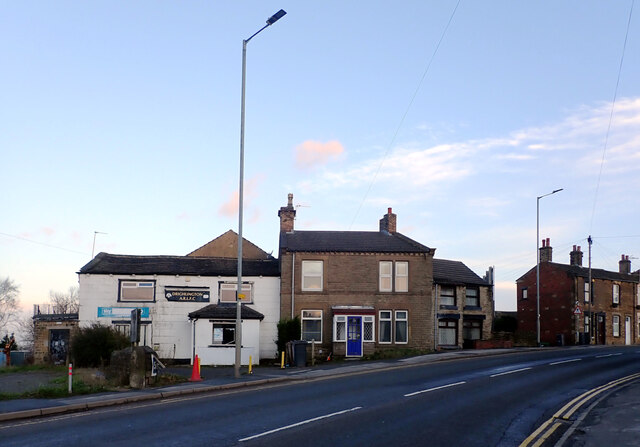
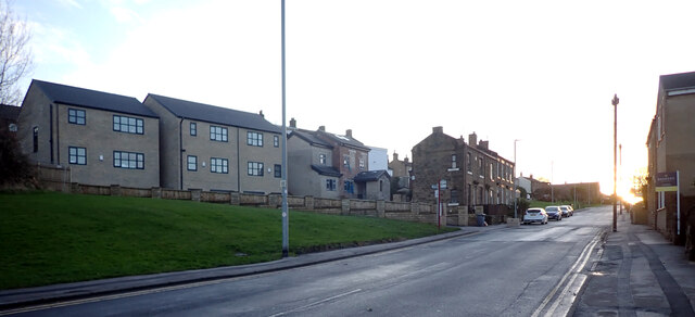
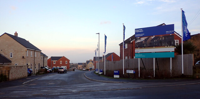
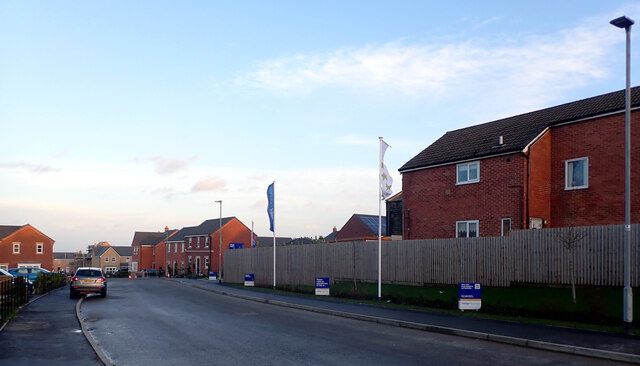
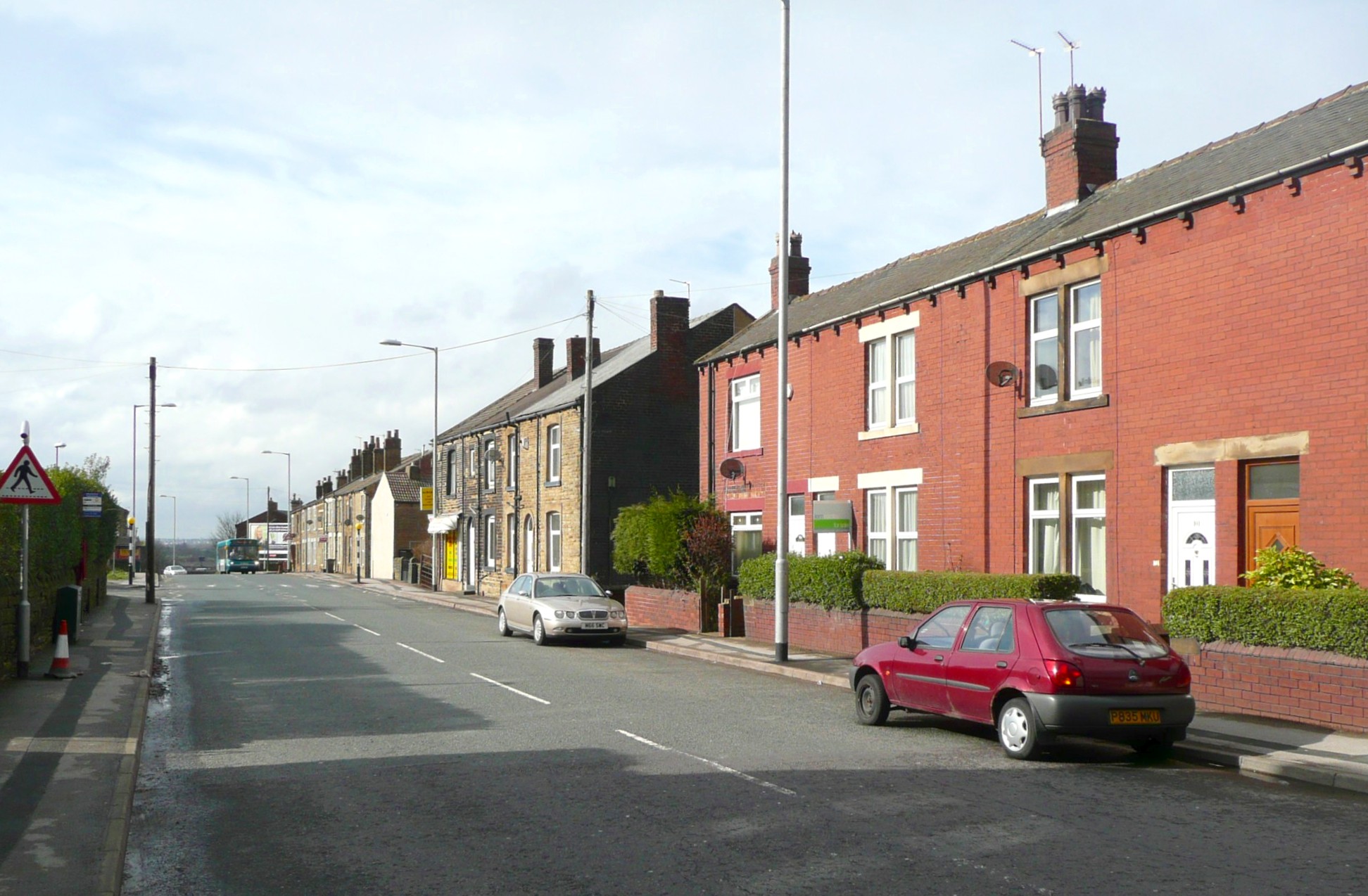
In terms of architecture, Drighlington features a mix of historic buildings and newer developments. The village has a charming, traditional feel, with stone-built houses and cottages lining its streets. There are also modern housing estates catering to the needs of a growing population.

Overall, Drighlington offers a peaceful and close-knit community, with a rich history and convenient access to nearby cities. It is an attractive place to live for those seeking a balance between rural tranquility and urban convenience.

If you have any feedback on the listing, please let us know in the comments section below.
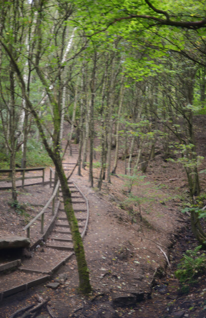
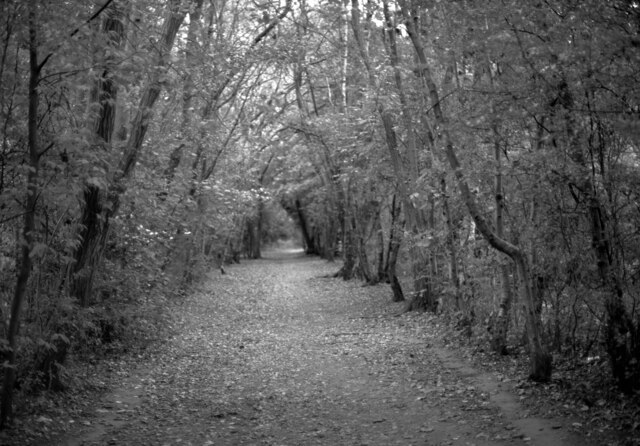
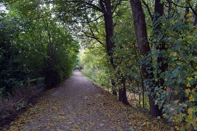
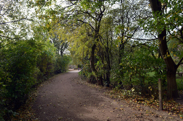
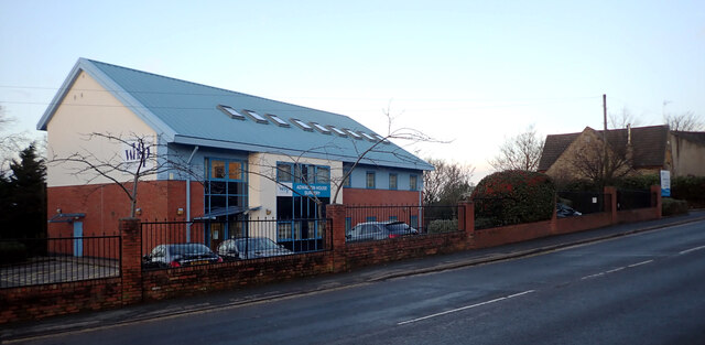
Drighlington Images

Images are sourced within 2km of 53.756156/-1.657025 or Grid Reference SE2228. Thanks to Geograph Open Source API. All images are credited.

Path through the woods, Oakwell Hall Country Park
Route of an old railway line passing through the woods, Oakwell Hall Country Park Parts of Oakwell Hall date from the 15th century but the present building is largely due to John Batt in 1583, with some further modifications in the 17th century. In the 19th century it was used as a boarding school. When Charlotte Bronte lived at nearby Hartshead, she allegedly used Oakwell as the basis for 'Fieldhead' in the novel 'Shirley' (Fieldhead is in fact a local name for part of Birstall). The hall and its outbuildings are listed grade I (list entry 11344609) and now operated as a museum by Kirklees council (open at weekends). 

The grounds, along with the site of a former colliery and railway line, form Oakwell Country Park covering 45 hectares of woodland and open fields, which has a separate free car park. There are nature trails and a mountain bike route.
Route of an old railway line passing through the woods, Oakwell Hall Country Park
Parts of Oakwell Hall date from the 15th century but the present building is largely due to John Batt in 1583, with some further modifications in the 17th century. In the 19th century it was used as a boarding school. When Charlotte Bronte lived at nearby Hartshead, she allegedly used Oakwell as the basis for 'Fieldhead' in the novel 'Shirley' (Fieldhead is in fact a local name for part of Birstall). The hall and its outbuildings are listed grade I (list entry 11344609) and now operated as a museum by Kirklees council (open at weekends). The grounds, along with the site of a former colliery and railway line, form Oakwell Country Park covering 45 hectares of woodland and open fields, which has a separate free car park. There are nature trails and a mountain bike route.
Route of an old railway line passing through the woods, Oakwell Hall Country Park
Warrens Lane, Oakwell Hall Country Park
Wakefield Road (B6135), Drighlington
Fairfax Avenue, Drighlington
Car Wash, Wakefield Road (B6135), Drighlington
Wakefield Road (B6135), Drighlington
Adwalton House Surgery, Wakefield Road (B6135), Drighlington
Moorside Road, Drighlington
Drighlington Pharmacy, King Street (B6135), Drighlington
King Street (B6135), Drighlington
The B6135 changing from King Street to Wakefield Road, Drighlington
King Street (B6135), Drighlington
Winterfell Road seen from King Street (B6135), Drighlington
Winterfell Road, Drighlington
Romano's Restaurant, King Street (B6135), Drighlington
Drighlington Methodist Church, King Street (B6135), Drighlington
Show me another place!

Drighlington is located at Grid Ref: SE2228 (Lat: 53.756156, Lng: -1.657025)

Division: West Riding

Administrative County: West Yorkshire

District: Leeds

Police Authority: West Yorkshire

What 3 Words

///maple.tests.wizard. Near Drighlington, West Yorkshire

Related Wikis

Drighlington

Drighlington is a village and civil parish in the City of Leeds metropolitan district, West Yorkshire, England. Historically part of the West Riding of...

Adwalton

Adwalton is a village in the City of Leeds metropolitan borough, West Yorkshire, England. It is 6 miles (9.7 km) south west of Leeds and is now generally...

Battle of Adwalton Moor

The Battle of Adwalton Moor occurred on 30 June 1643 at Adwalton, West Yorkshire, during the First English Civil War. In the battle, the Royalists loyal...

West Yorkshire

West Yorkshire is a metropolitan and ceremonial county in the Yorkshire and the Humber region of England. It borders North Yorkshire to the north and east...

Drighlington and Adwalton railway station

Drighlington and Adwalton railway station served the village of Drighlington, West Yorkshire, England from 1856 to 1962 on the Leeds, Bradford and Halifax...

Oakwell Hospital

Oakwell Hospital was originally a fever hospital built on a hill top in Birstall in West Riding of Yorkshire, England, caring for chiefly people with scarlet...

Birstall Shopping Park

Birstall Shopping Park is a shopping park located in Birstall, Batley, West Yorkshire, England. It contains a wide variety of retailers and includes the...

Cockersdale

Cockersdale is a location near Tong, south-west of Leeds, West Yorkshire, England. The Leeds Country Way follows the valley known as Cockers Dale, along...

Nearby Amenities

Located within 500m of 53.756156,-1.657025
Traffic Signals
Traffic Signals: signal
Traffic Signals Direction: backward
Lat/Long: 53.756862/-1.6621104
Traffic Signals
Traffic Signals: signal
Traffic Signals Direction: forward
Lat/Long: 53.7566516/-1.6612548
Drighlington
Place: village
Lat/Long: 53.7565627/-1.6586367
Bus Stop
Created By: xybot
Wheelchair: yes
Lat/Long: 53.7565749/-1.6612478
Tattoo shop
Addr Street: Moorside Approach
Shop: convenience
Lat/Long: 53.7522831/-1.6584764
Crossing
Crossing: uncontrolled
Crossing Ref: zebra
Kerb: flush
Tactile Paving: yes
Lat/Long: 53.7534892/-1.6529775
Place Of Worship
Moorside Church
Religion: christian
Lat/Long: 53.7519254/-1.6590461
Recycling
Lat/Long: 53.7557188/-1.663355
Post Box
Operator: Royal Mail
Post Box Type: lamp
Ref: BD11 453
Lat/Long: 53.7534118/-1.6568788
Fast Food
The Trawler
Addr City: Bradford
Addr Housenumber: 184
Addr Postcode: BD11 1AU
Addr Street: Whitehall Road
Fhrs Id: 570326
Wheelchair: no
Lat/Long: 53.7563066/-1.6636751
Pharmacy
Well Pharmacy
Addr City: Bradford
Addr Housenumber: 176
Addr Postcode: BD11 1AU
Addr Street: Whitehall Road
Addr Suburb: Drighlington
Brand: Well Pharmacy
Brand Wikidata: Q7726524
Healthcare: pharmacy
Website: https://finder.well.co.uk/store/drighlington-whitehall-road
Wheelchair: yes
Lat/Long: 53.7563673/-1.6634181
Atm
Wheelchair: yes
Lat/Long: 53.7564349/-1.6631127
Crossing
Crossing: traffic_signals
Crossing Island: no
Crossing Ref: pelican
Kerb: flush
Tactile Paving: yes
Lat/Long: 53.7568209/-1.6615504
Wikidata: Q26599885
Lat/Long: 53.7583672/-1.6605681
Post Box
Operator: Royal Mail
Ref: BD11 455
Lat/Long: 53.7595068/-1.6551474
Fast Food
Kings Chinese Take Away
Lat/Long: 53.7568487/-1.6612069
Restaurant
Kings Cantonese Restaurant
Addr City: Bradford
Addr Housenumber: 1
Addr Postcode: BD11 1LW
Addr Street: King Street
Fhrs Id: 740522
Lat/Long: 53.7566791/-1.6609745
Post Box
Operator: Royal Mail
Post Box Type: pillar
Ref: BD11 451
Royal Cypher: EIIR
Royal Cypher Wikidata: Q33102113
Lat/Long: 53.7556254/-1.6591564
Atm
Lat/Long: 53.7546842/-1.6575723
Bus Stop
Drighlington Crossroads
Local Ref: 45013022
Naptan AtcoCode: 450013022
Naptan Bearing: NW
Naptan CommonName: Drighlington Crossroads
Naptan Crossing: Farriers Court
Naptan Indicator: Stop 45013022
Naptan PlusbusZoneRef: LEEDS
Naptan ShortCommonName: Bradford Road
Naptan Street: Bradford Road
Naptan Verified: yes
Shelter: no
Source: naptan_import
Timetable: yes
Lat/Long: 53.7571493/-1.6630994
Bus Stop
Drighlington Crossroads
Bench: yes
Local Ref: 45013023
Naptan AtcoCode: 450013023
Naptan Bearing: SE
Naptan CommonName: Drighlington Crossroads
Naptan Crossing: Kingsdale Gardens
Naptan Indicator: Stop 45013023
Naptan PlusbusZoneRef: LEEDS
Naptan ShortCommonName: Kingsdale Gardens
Naptan Street: King Street
Naptan Verified: yes
Shelter: yes
Source: naptan_import
Timetable: yes
Towards: Morley, Wakefield
Wheelchair: yes
Lat/Long: 53.7563238/-1.6604063
Bus Stop
King Street
Local Ref: 45013024
Naptan AtcoCode: 450013024
Naptan Bearing: SE
Naptan CommonName: King Street
Naptan Crossing: Nr-At Spring Gardens
Naptan Indicator: Stop 45013024
Naptan Landmark: Black Bull PH
Naptan PlusbusZoneRef: LEEDS
Naptan ShortCommonName: Spring Gardens
Naptan Street: King Street
Naptan Verified: yes
Shelter: no
Source: naptan_import
Timetable: yes
Towards: Morley, Wakefield
Lat/Long: 53.7553301/-1.6586549
Bus Stop
King Street
Local Ref: 45013025
Naptan AtcoCode: 450013025
Naptan Bearing: NW
Naptan CommonName: King Street
Naptan Crossing: Nr-Opp Spring Gardens
Naptan Indicator: Stop 45013025
Naptan Landmark: Black Bull PH
Naptan PlusbusZoneRef: LEEDS
Naptan ShortCommonName: Spring Gardens
Naptan Street: King Street
Naptan Verified: yes
Shelter: no
Source: naptan_import
Timetable: yes
Lat/Long: 53.7552406/-1.6587922
Bus Stop
King Street Drighlington
Local Ref: 45013026
Naptan AtcoCode: 450013026
Naptan Bearing: SE
Naptan CommonName: King Street
Naptan Crossing: Moorside Road
Naptan Indicator: Stop 45013026
Naptan Landmark: Unknown
Naptan PlusbusZoneRef: LEEDS
Naptan ShortCommonName: Moorside Road
Naptan Street: King Street
Naptan Verified: yes
Shelter: no
Source: naptan_import
Timetable: yes
Towards: Morley, Wakefield
Lat/Long: 53.754264/-1.6567223
Bus Stop
King Street Moorside Road
Local Ref: 45013027
Naptan AtcoCode: 450013027
Naptan Bearing: NW
Naptan CommonName: King Street Moorside Road
Naptan Crossing: Moorside Road
Naptan Indicator: Stop 45013027
Naptan PlusbusZoneRef: LEEDS
Naptan ShortCommonName: Moorside Road
Naptan Street: King Street
Naptan Verified: yes
Shelter: no
Source: naptan_import
Timetable: yes
Lat/Long: 53.7543552/-1.6571917
Bus Stop
Wakefield Road
Local Ref: 45013028
Naptan AtcoCode: 450013028
Naptan Bearing: SE
Naptan CommonName: Wakefield Road
Naptan Crossing: Nr-Opp Fairfax Avenue
Naptan Indicator: Stop 45013028
Naptan Landmark: Unknown
Naptan PlusbusZoneRef: LEEDS
Naptan ShortCommonName: Fairfax Avenue
Naptan Street: Wakefield Road
Naptan Verified: yes
Shelter: no
Source: naptan_import
Timetable: yes
Lat/Long: 53.7530367/-1.6519095
Bus Stop
Wakefield Road Fairfax Avenue
Local Ref: 45013029
Naptan AtcoCode: 450013029
Naptan Bearing: NW
Naptan CommonName: Wakefield Road Fairfax Avenue
Naptan Crossing: Fairfax Avenue
Naptan Indicator: Stop 45013029
Naptan Landmark: Unknown
Naptan PlusbusZoneRef: LEEDS
Naptan ShortCommonName: Fairfax Avenue
Naptan Street: Wakefield Road
Naptan Verified: yes
Shelter: no
Source: naptan_import
Timetable: yes
Lat/Long: 53.7532636/-1.6526659
Bus Stop
Whitehall Road Station Road
Kerb: raised
Local Ref: 45010608
Naptan AtcoCode: 450010608
Naptan Bearing: E
Naptan CommonName: Whitehall Road Station Road
Naptan Crossing: Station Road
Naptan Indicator: Stop 45010608
Naptan Notes: Shelter installed 23/8/08 still awaiting snagging sheet as at 5 September 2008
Naptan PlusbusZoneRef: LEEDS
Naptan ShortCommonName: Station Road
Naptan Street: Whitehall Road
Naptan Verified: yes
Shelter: yes
Source: naptan_import
Timetable: yes
Wheelchair: yes
Lat/Long: 53.7563856/-1.6631814
Bus Stop
Drighlington Crossroads Whitehall Road
Local Ref: 45010609
Naptan AtcoCode: 450010609
Naptan Bearing: SW
Naptan CommonName: Drighlington Crossroads Whitehall Road
Naptan Crossing: Station Road
Naptan Indicator: Stop 45010609
Naptan PlusbusZoneRef: LEEDS
Naptan ShortCommonName: Drighlington Stn Rd
Naptan Street: Whitehall Road
Naptan Verified: yes
Shelter: yes
Source: naptan_import
Timetable: yes
Wheelchair: yes
Lat/Long: 53.7565135/-1.6623494
Bus Stop
Whitehall Road Drighlington
Local Ref: 45011795
Naptan AtcoCode: 450011795
Naptan Bearing: SW
Naptan CommonName: Whitehall Road Drighlington
Naptan Crossing: Nr-At Old Lane
Naptan Indicator: Stop 45011795
Naptan Notes: 3P ttcase still to fit
Naptan PlusbusZoneRef: LEEDS
Naptan ShortCommonName: Old Lane
Naptan Street: Whitehall Road
Naptan Verified: no
Source: naptan_import
Lat/Long: 53.7591437/-1.6563328
Bus Stop
Whitehall Road Drighlington
Local Ref: 45011796
Naptan AtcoCode: 450011796
Naptan Bearing: NE
Naptan CommonName: Whitehall Road Drighlington
Naptan Crossing: Lumb Hall Way
Naptan Indicator: Stop 45011796
Naptan PlusbusZoneRef: LEEDS
Naptan ShortCommonName: Old Lane
Naptan Street: Whitehall Road
Naptan Verified: no
Source: naptan_import
Lat/Long: 53.7597328/-1.6549636
Bus Stop
Whitehall Road Back Lane
Kerb: raised
Local Ref: 45011797
Naptan AtcoCode: 450011797
Naptan Bearing: SW
Naptan CommonName: Whitehall Road Back Lane
Naptan Crossing: Back Lane
Naptan Indicator: Stop 45011797
Naptan Landmark: Drighlington Junior School
Naptan PlusbusZoneRef: LEEDS
Naptan ShortCommonName: Back Lane
Naptan Street: Whitehall Road
Shelter: no
Source: naptan_import
Timetable: yes
Wheelchair: yes
Lat/Long: 53.7575189/-1.6602905
Bus Stop
Station Road Whitehall Road
Local Ref: 45011798
Naptan AtcoCode: 450011798
Naptan Bearing: SW
Naptan CommonName: Station Road Whitehall Road
Naptan Crossing: Whitehall Road
Naptan Indicator: Stop 45011798
Naptan PlusbusZoneRef: LEEDS
Naptan ShortCommonName: Whitehall Road
Naptan Street: Station Road
Naptan Verified: yes
Source: naptan_import
Timetable: yes
Lat/Long: 53.7558922/-1.6632587
Bus Stop
Moorside Road Moorside Approach
Local Ref: 45023827
Naptan AtcoCode: 450023827
Naptan Bearing: SW
Naptan CommonName: Moorside Road Moorside Approach
Naptan Crossing: Moorside Approach
Naptan Indicator: Stop 45023827
Naptan PlusbusZoneRef: LEEDS
Naptan ShortCommonName: Moorside Approach
Naptan Street: Moorside Road
Naptan Verified: yes
Source: naptan_import
Timetable: yes
Lat/Long: 53.7525157/-1.6582834
Bus Stop
Moorside Road Kingsway
Local Ref: 45023828
Naptan AtcoCode: 450023828
Naptan Bearing: NE
Naptan CommonName: Moorside Road Kingsway
Naptan Crossing: Kingsway
Naptan Indicator: Stop 45023828
Naptan Notes: OSR taken place 311005
Naptan PlusbusZoneRef: LEEDS
Naptan ShortCommonName: Kingsway
Naptan Street: Moorside Road
Naptan Verified: yes
Shelter: yes
Source: naptan_import
Timetable: yes
Lat/Long: 53.7532853/-1.6570791
Bus Stop
Moorside Road Wakefield Road
Local Ref: 45023878
Naptan AtcoCode: 450023878
Naptan Bearing: SW
Naptan CommonName: Moorside Road Wakefield Road
Naptan Crossing: Wakefield Road
Naptan Indicator: Stop 45023878
Naptan Notes: Removed ttcase D.Dowden 30/05/2008
Naptan PlusbusZoneRef: LEEDS
Naptan ShortCommonName: Wakefield Road
Naptan Street: Moorside Road
Naptan Verified: yes
Source: naptan_import
Timetable: yes
Lat/Long: 53.753571/-1.6564094
Bus Stop
Moorside Road Moorside Approach
Local Ref: 45023912
Naptan AtcoCode: 450023912
Naptan Bearing: NE
Naptan CommonName: Moorside Road Moorside Approach
Naptan Crossing: Moorside Approach
Naptan Indicator: Stop 45023912
Naptan PlusbusZoneRef: LEEDS
Naptan ShortCommonName: Moorside Approach
Naptan Street: Moorside Road
Naptan Verified: yes
Source: naptan_import
Timetable: yes
Lat/Long: 53.7524001/-1.6587242
Bus Stop
Moorside Road Moorside Methodist Church
Local Ref: 45027887
Naptan AtcoCode: 450027887
Naptan Bearing: SW
Naptan CommonName: Moorside Road Moorside Methodist Church
Naptan Crossing: Moorside Approach
Naptan Indicator: Stop 45027887
Naptan Landmark: Moorside Methodist Church
Naptan PlusbusZoneRef: LEEDS
Naptan ShortCommonName: Moorside Approach
Naptan Street: Moorside Road
Naptan Verified: no
Source: naptan_import
Lat/Long: 53.7518896/-1.6593804
Post Office
Drighlington Post Office
Source: OS OpenData StreetView
Wheelchair: limited
Lat/Long: 53.7556144/-1.6590496
Crossing
Crossing: traffic_signals
Crossing Island: no
Crossing Ref: pelican
Kerb: flush
Tactile Paving: yes
Lat/Long: 53.7566381/-1.6619948
Crossing
Crossing: traffic_signals
Crossing Island: no
Crossing Ref: pelican
Kerb: flush
Tactile Paving: yes
Lat/Long: 53.7566888/-1.661368
Crossing
Crossing: traffic_signals
Crossing Island: no
Crossing Ref: pelican
Kerb: flush
Tactile Paving: yes
Lat/Long: 53.7568377/-1.6620038
Bench
Backrest: yes
Lat/Long: 53.7569043/-1.6617795
Bench
Backrest: yes
Lat/Long: 53.7569163/-1.6617409
Kian Stores
Addr City: Bradford
Addr Housenumber: 87-89
Addr Postcode: BD11 1DH
Addr Street: Wakefield Road
Addr Suburb: Drighlington
Alcohol: yes
Fhrs Id: 323194
Shop: convenience
Lat/Long: 53.75347/-1.6527021
Bus Stop
Whitehall Road Back Lane
Kerb: raised
Local Ref: 45015935
Naptan AtcoCode: 450015935
Shelter: no
Source: survey
Timetable: yes
Towards: Leeds
Wheelchair: limited
Lat/Long: 53.7581579/-1.6588375
Recycling
Recycling Glass: yes
Lat/Long: 53.7537391/-1.6560624
Barrier: bollard
Lat/Long: 53.7539175/-1.6548473
Restaurant
Romanos
Addr City: Bradford
Addr Housenumber: 35
Addr Postcode: BD11 1EJ
Addr Street: King Street
Addr Suburb: Drighlington
Cuisine: italian;pizza
Fhrs Id: 950762
Wheelchair: no
Lat/Long: 53.7552901/-1.6583629
Fast Food
Kamrans Tandoori Hut
Addr City: Bradford
Addr Housenumber: 77
Addr Postcode: BD11 1EJ
Addr Street: King Street
Addr Suburb: Drighlington
Cuisine: indian
Takeaway: yes
Wheelchair: no
Lat/Long: 53.7548334/-1.6577393
Craft And World Beers
Addr City: Bradford
Addr Housenumber: 182
Addr Postcode: BD11 1AU
Addr Street: Whitehall Road
Addr Suburb: Drighlington
Fhrs Id: 1216431
Old Name: JJ's Snack Shack
Shop: alcohol
Wheelchair: no
Lat/Long: 53.7563232/-1.6636227
Studio 3
Addr City: Bradford
Addr Housenumber: 3
Addr Postcode: BD11 1AS
Addr Street: Bradford Road
Addr Suburb: Drighlington
Shop: hairdresser
Wheelchair: limited
Lat/Long: 53.7567704/-1.6621757
Crossing
Crossing: marked
Crossing Markings: yes
Crossing Ref: zebra
Kerb: flush
Tactile Paving: yes
Lat/Long: 53.7539323/-1.6561448
Waste Basket
Ref UK Leedscc Bin: 6203
Lat/Long: 53.753516/-1.652652
Waste Basket
Ref UK Leedscc Bin: 2191
Lat/Long: 53.753665/-1.656062
Waste Basket
Ref UK Leedscc Bin: 2192
Lat/Long: 53.753157/-1.657067
Waste Basket
Ref UK Leedscc Bin: 6205
Lat/Long: 53.75799/-1.659837
Waste Basket
Ref UK Leedscc Bin: 1616
Lat/Long: 53.755613/-1.659423
Waste Basket
Ref UK Leedscc Bin: 6202
Lat/Long: 53.752222/-1.658292
Waste Basket
Ref UK Leedscc Bin: 1619
Lat/Long: 53.75639/-1.660879
Waste Basket
Ref UK Leedscc Bin: 6194
Lat/Long: 53.757/-1.66182
Waste Basket
Ref UK Leedscc Bin: 3650
Lat/Long: 53.756595/-1.661818
Waste Basket
Ref UK Leedscc Bin: 3642
Lat/Long: 53.756482/-1.662343
Waste Basket
Ref UK Leedscc Bin: 6193
Lat/Long: 53.757074/-1.663028
Waste Basket
Ref UK Leedscc Bin: 6192
Lat/Long: 53.756411/-1.663387
Waste Basket
Ref UK Leedscc Bin: 6191
Lat/Long: 53.755677/-1.663333
Generator Method: photovoltaic
Generator Output Electricity: small_installation
Generator Source: solar
Generator Type: solar_photovoltaic_panel
Location: roof
Power: generator
Lat/Long: 53.7536162/-1.6551054
Turning Circle
Lat/Long: 53.7536281/-1.6548908
Recycling
Recycling Type: container
Source: Bing
Lat/Long: 53.7538113/-1.6556203
Generator Method: photovoltaic
Generator Output Electricity: small_installation
Generator Source: solar
Generator Type: solar_photovoltaic_panel
Location: roof
Power: generator
Lat/Long: 53.7531063/-1.6543624
Generator Method: photovoltaic
Generator Output Electricity: small_installation
Generator Source: solar
Generator Type: solar_photovoltaic_panel
Location: roof
Power: generator
Lat/Long: 53.7522119/-1.6539037
Generator Method: photovoltaic
Generator Output Electricity: small_installation
Generator Source: solar
Generator Type: solar_photovoltaic_panel
Location: roof
Power: generator
Lat/Long: 53.7528447/-1.6547661
Cycleway: asl
Direction: backward
Lat/Long: 53.7568489/-1.6620546
Cycleway: asl
Direction: forward
Lat/Long: 53.7566708/-1.661308
Cycleway: asl
Direction: forward
Lat/Long: 53.7568563/-1.6614933
Traffic Signals
Traffic Signals: signal
Traffic Signals Direction: forward
Lat/Long: 53.7568832/-1.6614453
Traffic Signals
Traffic Signals: signal
Traffic Signals Direction: backward
Lat/Long: 53.756604/-1.6621201
Cycleway: asl
Direction: backward
Lat/Long: 53.7566199/-1.6620618
Crossing
Crossing: pavement
Lat/Long: 53.7569004/-1.6615501
Crossing
Crossing: unmarked
Crossing Island: yes
Tactile Paving: no
Lat/Long: 53.7566557/-1.6614954
Crossing
Crossing: unmarked
Crossing Island: yes
Tactile Paving: no
Lat/Long: 53.7566162/-1.6613225
Crossing
Crossing: pavement
Lat/Long: 53.7569597/-1.6611828
Crossing
Crossing: unmarked
Crossing Island: no
Tactile Paving: no
Lat/Long: 53.7565338/-1.6621463
Crossing
Crossing: uncontrolled
Crossing Markings: yes
Lat/Long: 53.7550932/-1.658416
Barrier: bollard
Lat/Long: 53.7533141/-1.6542627
The data included in this document is from www.openstreetmap.org. The data is made available under ODbL.

Have you been to Drighlington?

Leave your review of Drighlington below (or comments, questions and feedback).