Drayton
Civil Parish in Oxfordshire Cherwell
England
Drayton
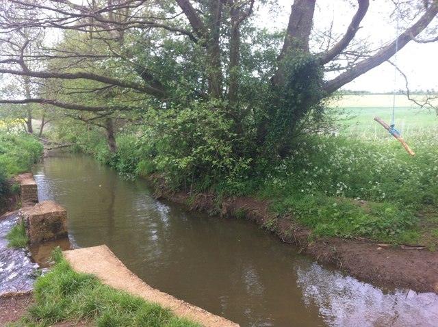
Drayton is a civil parish located in the county of Oxfordshire in England. Situated approximately 6 miles south of the city of Oxford, it covers an area of about 1,700 acres. The parish is bounded by the River Thames to the west and the River Ock to the south, offering picturesque views and a tranquil environment.
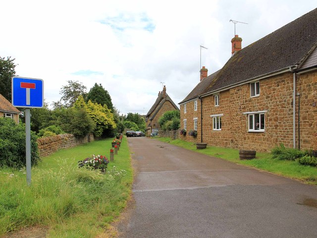
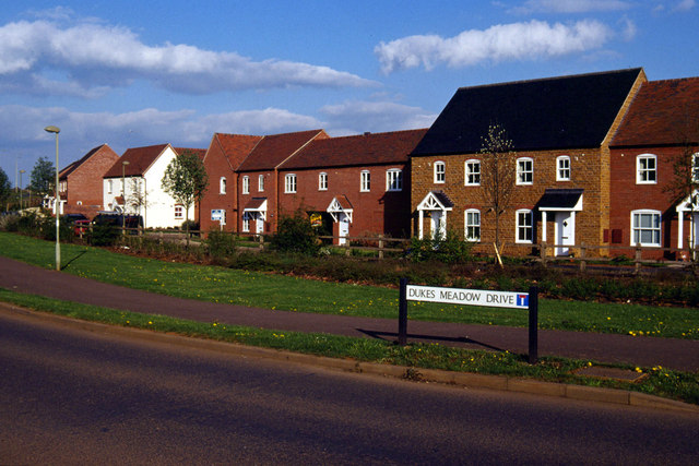
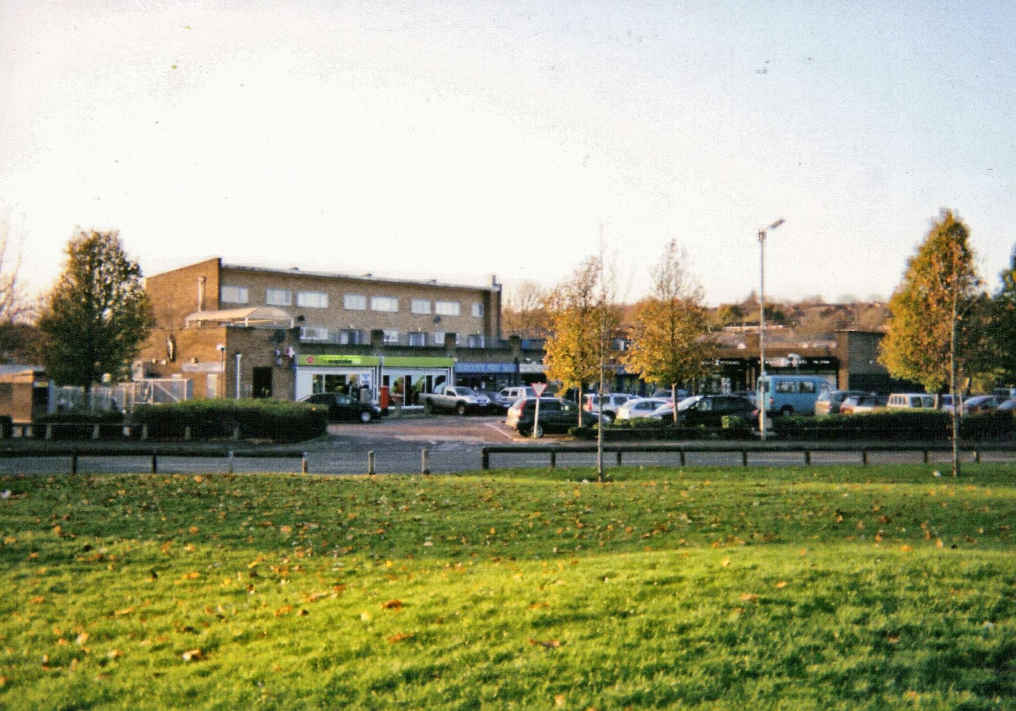
The village of Drayton itself consists of a small population of around 700 residents, residing in a mixture of traditional stone cottages and modern houses. The local community is close-knit, with a strong sense of community spirit and a range of local amenities to cater to the needs of its residents. These amenities include a village hall, a primary school, a post office, a convenience store, and a pub, providing a convenient and comfortable lifestyle for its inhabitants.
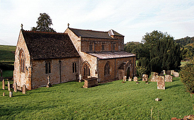
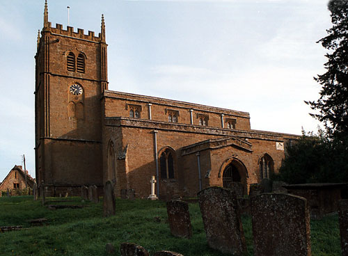
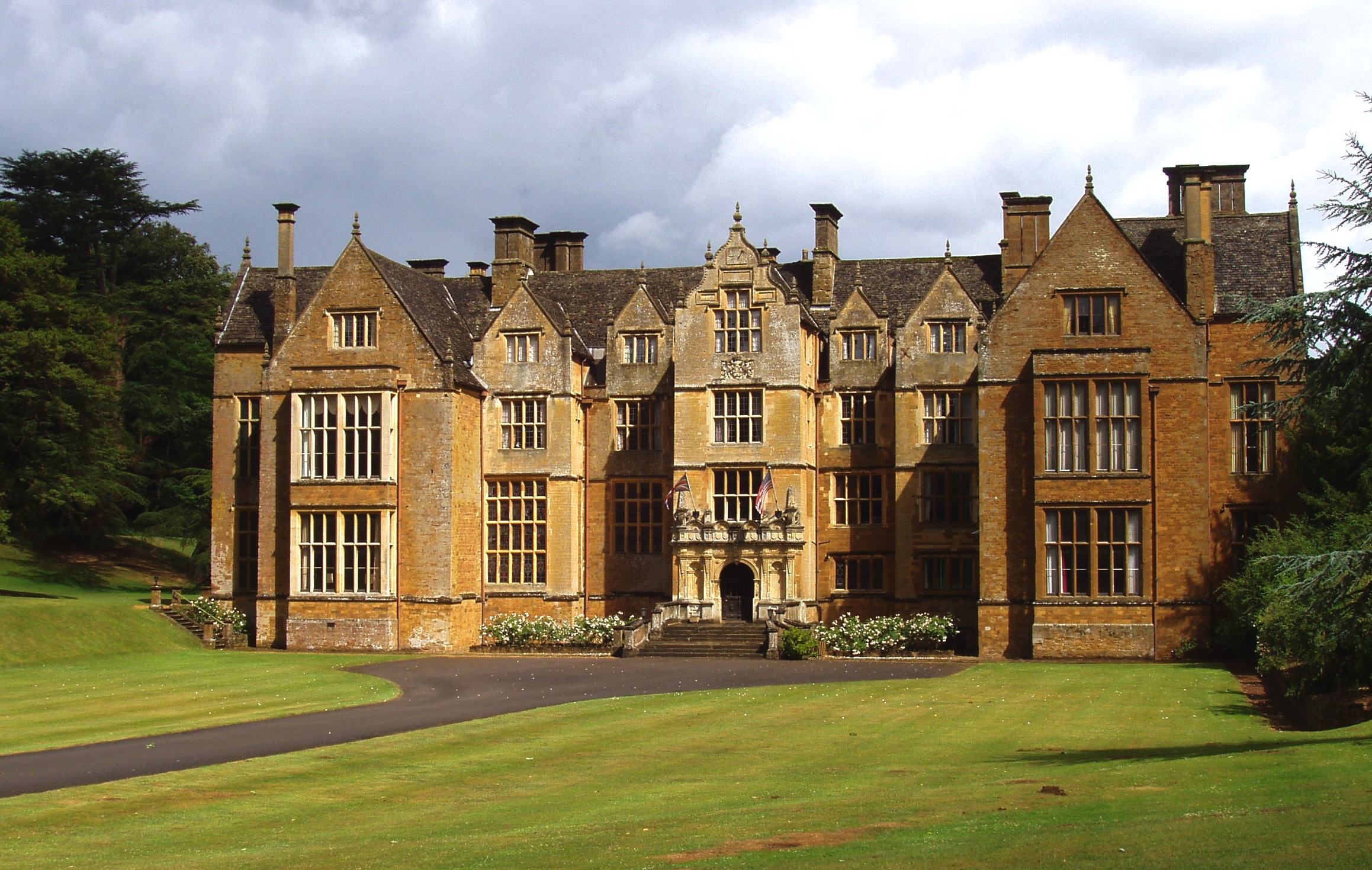
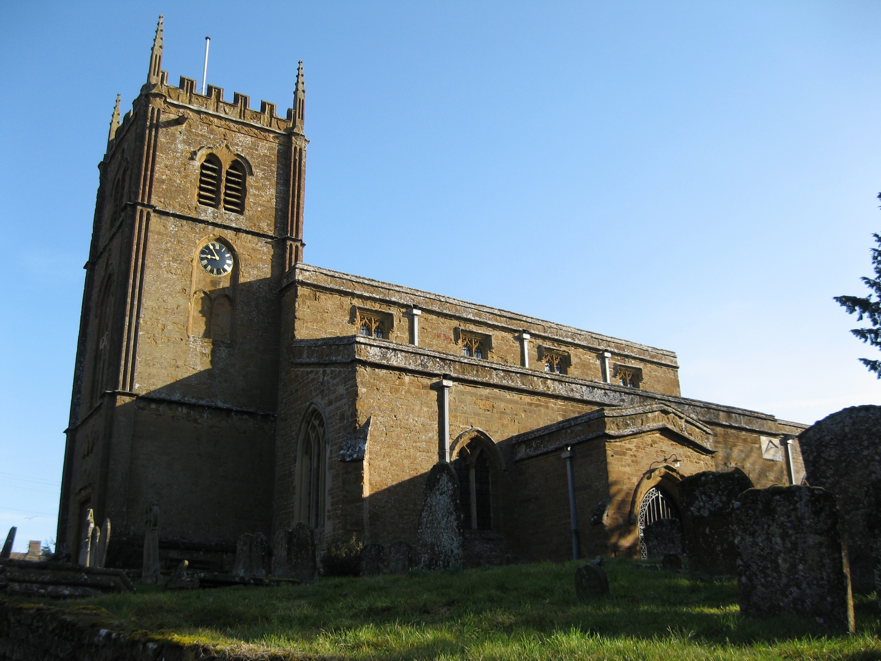
Drayton boasts a rich history, with evidence of human settlement dating back to the Roman period. The village is home to several historic buildings, such as the Grade II listed Drayton Manor and the St Peter's Church, which dates back to the 12th century. These landmarks offer a glimpse into the village's past and provide a sense of heritage and charm.
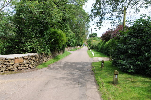
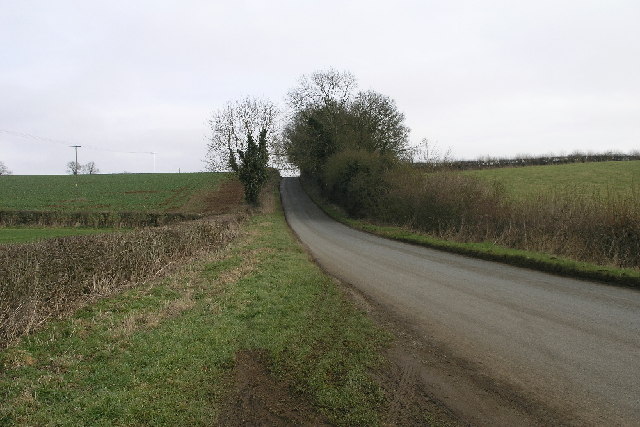
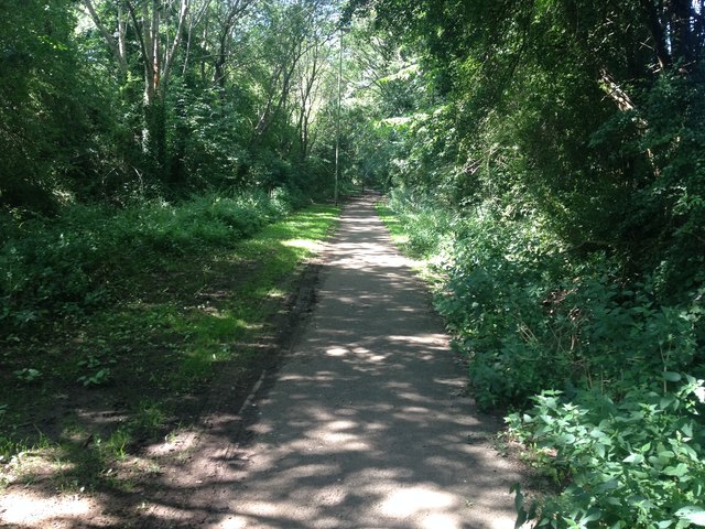
The surrounding countryside offers ample opportunities for outdoor activities, with the Thames Path and numerous footpaths providing scenic walks and cycling routes. The nearby town of Abingdon-on-Thames offers additional amenities and attractions, including shops, restaurants, and cultural events.
Overall, Drayton, Oxfordshire is a charming and historic civil parish that offers a peaceful and idyllic lifestyle, while still being within easy reach of larger towns and cities.
If you have any feedback on the listing, please let us know in the comments section below.
Drayton Images
Images are sourced within 2km of 52.070713/-1.37532 or Grid Reference SP4241. Thanks to Geograph Open Source API. All images are credited.


Drayton is located at Grid Ref: SP4241 (Lat: 52.070713, Lng: -1.37532)
Administrative County: Oxfordshire
District: Cherwell
Police Authority: Thames Valley
What 3 Words
///flushes.inhales.dabbling. Near Banbury, Oxfordshire
Nearby Locations
Related Wikis

Drayton, Cherwell
Drayton is a village and civil parish in the valley of the Sor Brook in Oxfordshire, about 2 miles (3 km) northwest of Banbury. The 2011 Census recorded...

North Oxfordshire Academy
North Oxfordshire Academy is a coeducational academy school in Banbury, Oxfordshire, England. It opened in September 2007, replacing the comprehensive...
Drayton School
Drayton School was a comprehensive school situated on Stratford Road in Banbury, Oxfordshire, England. Established in 1973, its buildings are now occupied...
Neithrop Fields Cutting
Neithrop Fields Cutting is a 1.4-hectare (3.5-acre) geological Site of Special Scientific Interest in Banbury in Oxfordshire. It is a Geological Conservation...
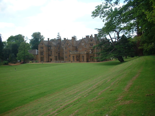
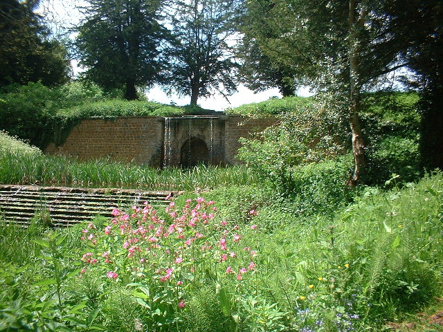
Wroxton Abbey
Wroxton Abbey is a Jacobean house in Oxfordshire, with a 1727 garden partly converted to the serpentine style between 1731 and 1751. It is 2.5 miles (4...

Neithrop
Neithrop is an inner housing estate and part of the greater 'Neithrop ward' of Banbury, Oxfordshire, England. It is one of the oldest areas in Banbury...
Ruscote
The Ruscote, Hardwick and Hanwell Fields estates are three interconnecting Banbury estates that were built between the 1930s and 2000s in Oxfordshire,...
Wroxton
Wroxton is a village and civil parish in the north of Oxfordshire about 3 miles (5 km) west of Banbury. The 2011 Census recorded the parish's population...
Nearby Amenities
Located within 500m of 52.070713,-1.37532Have you been to Drayton?
Leave your review of Drayton below (or comments, questions and feedback).