Abbey Wood
Wood, Forest in Oxfordshire Cherwell
England
Abbey Wood
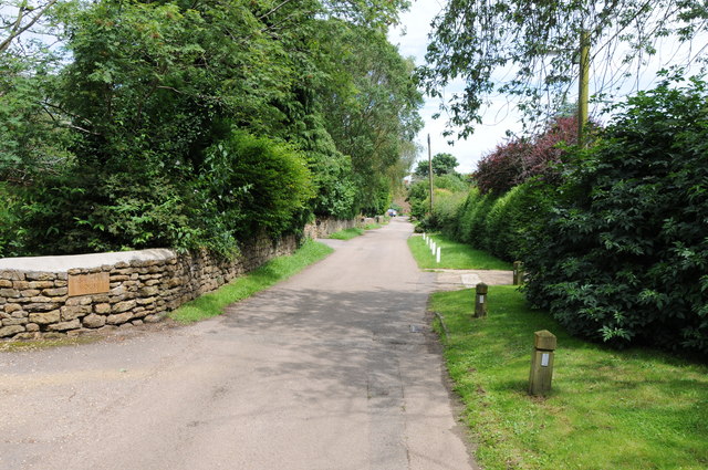
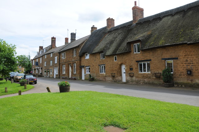
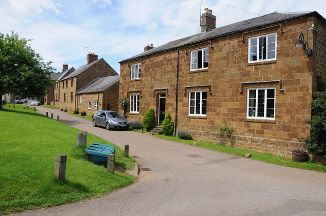
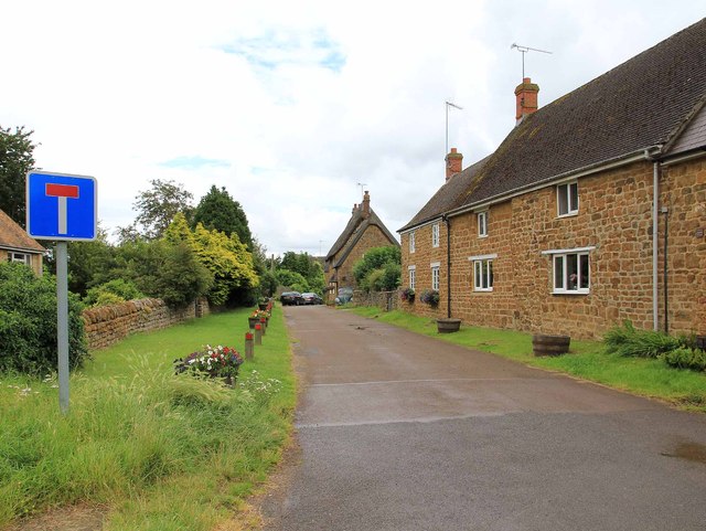
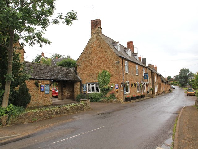
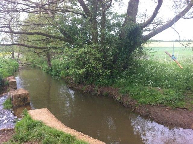
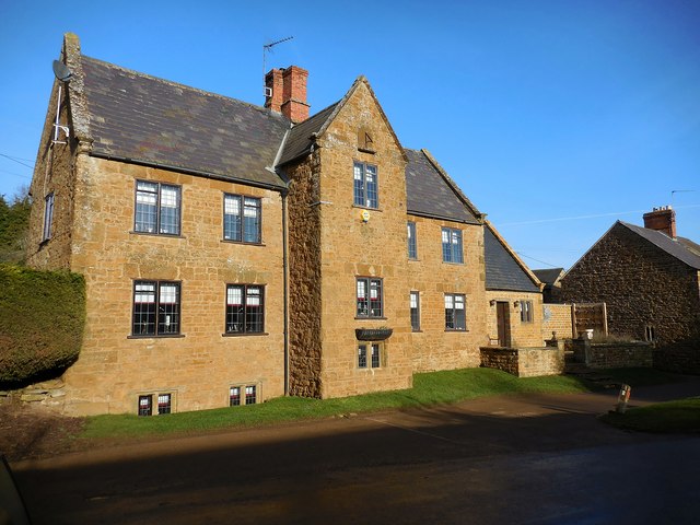
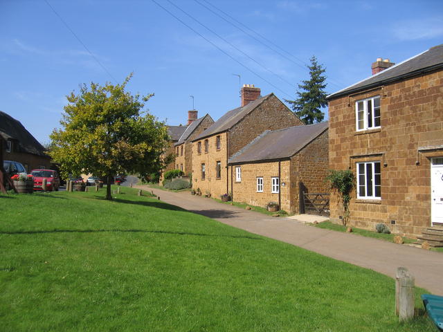
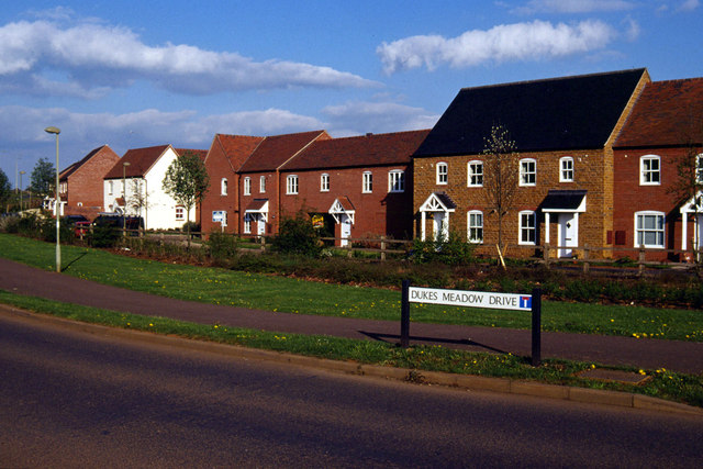
Abbey Wood is a small village located in the county of Oxfordshire, England. Situated within the wider district of Cherwell, Abbey Wood is known for its picturesque setting and serene atmosphere. The village is surrounded by lush woodlands and dense forests, offering residents and visitors alike the opportunity to immerse themselves in nature.
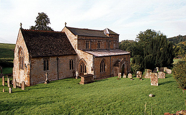
Abbey Wood's name is derived from the presence of an ancient abbey that once stood in the area. The ruins of the abbey can still be seen today, providing a glimpse into the village's rich history. The village itself is characterized by quaint, traditional cottages and houses, adding to its charm and appeal.
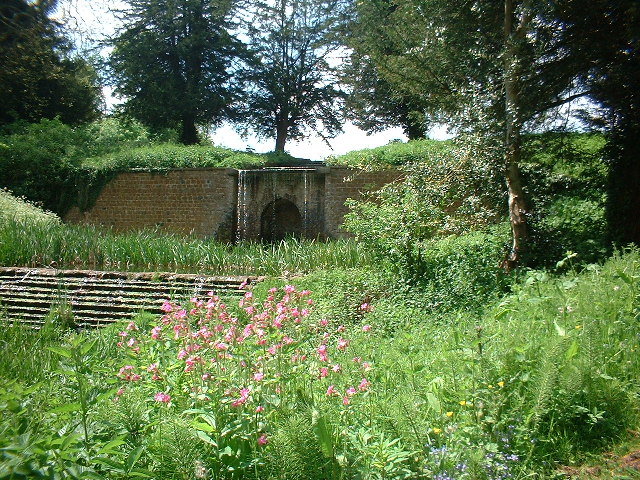
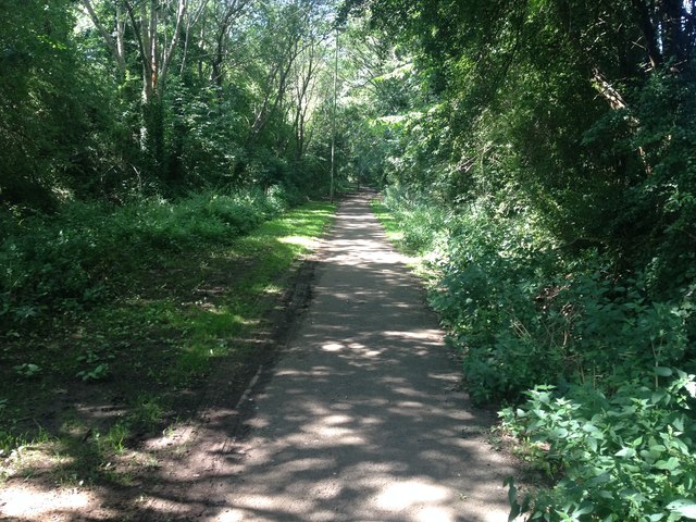
The woodlands and forests that envelop Abbey Wood are home to a diverse range of flora and fauna. The area is known for its vibrant wildflowers, towering oak trees, and various species of birds and mammals. As a result, it has become a popular destination for nature enthusiasts and photographers.
Despite its small size, Abbey Wood offers a range of amenities for its residents. These include a local pub, a village hall, and a small convenience store. The village is also well-connected to nearby towns and cities, with regular bus services and easy access to major road networks.
Overall, Abbey Wood in Oxfordshire is a tranquil village with a rich history and natural beauty. It provides a peaceful retreat for those seeking to escape the hustle and bustle of city life and enjoy the tranquility of the countryside.
If you have any feedback on the listing, please let us know in the comments section below.
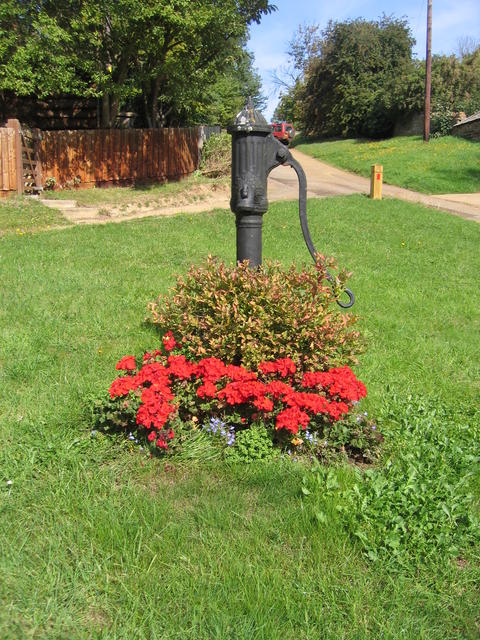
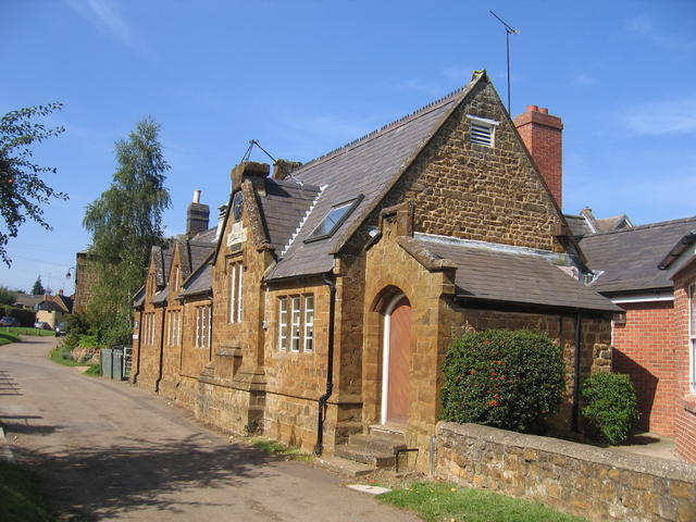
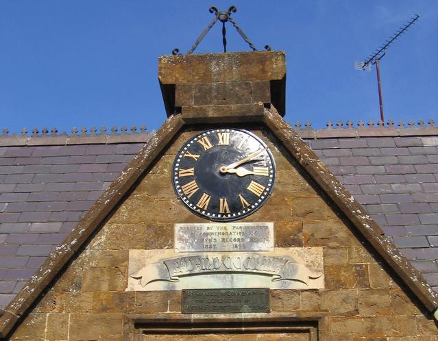
Abbey Wood Images
Images are sourced within 2km of 52.071078/-1.3860226 or Grid Reference SP4241. Thanks to Geograph Open Source API. All images are credited.
Abbey Wood is located at Grid Ref: SP4241 (Lat: 52.071078, Lng: -1.3860226)
Administrative County: Oxfordshire
District: Cherwell
Police Authority: Thames Valley
What 3 Words
///today.clumped.sweeter. Near Banbury, Oxfordshire
Nearby Locations
Related Wikis
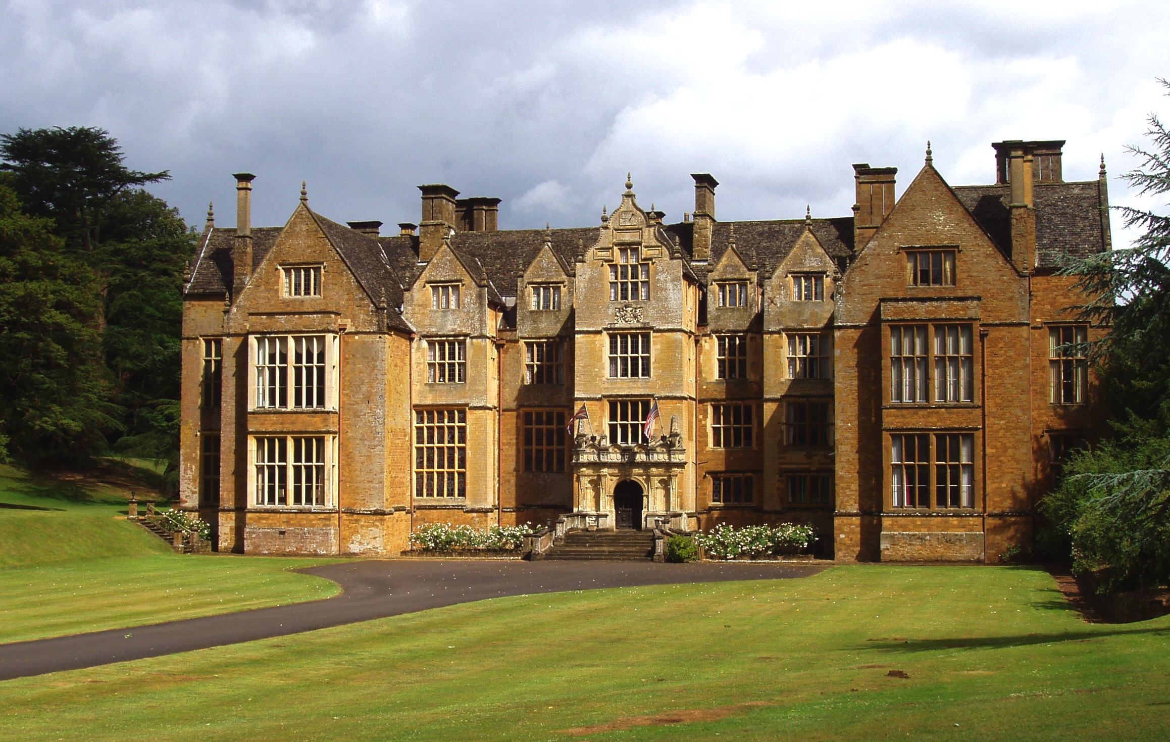
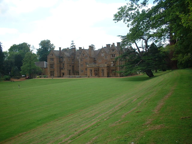
Wroxton Abbey
Wroxton Abbey is a Jacobean house in Oxfordshire, with a 1727 garden partly converted to the serpentine style between 1731 and 1751. It is 2.5 miles (4...

Drayton, Cherwell
Drayton is a village and civil parish in the valley of the Sor Brook in Oxfordshire, about 2 miles (3 km) northwest of Banbury. The 2011 Census recorded...
Wroxton
Wroxton is a village and civil parish in the north of Oxfordshire about 3 miles (5 km) west of Banbury. The 2011 Census recorded the parish's population...

Oxfordshire Ironstone Railway
The Oxfordshire Ironstone Railway was a standard-gauge mineral railway that served an ironstone quarry near the village of Wroxton in Oxfordshire. ��2...
North Oxfordshire Academy
North Oxfordshire Academy is a coeducational academy school in Banbury, Oxfordshire, England. It opened in September 2007, replacing the comprehensive...
Drayton School
Drayton School was a comprehensive school situated on Stratford Road in Banbury, Oxfordshire, England. Established in 1973, its buildings are now occupied...
Neithrop Fields Cutting
Neithrop Fields Cutting is a 1.4-hectare (3.5-acre) geological Site of Special Scientific Interest in Banbury in Oxfordshire. It is a Geological Conservation...

North Newington
North Newington is a village and civil parish in northern Oxfordshire, England, about 2 miles (3 km) west of Banbury. The 2011 Census recorded the parish...
Nearby Amenities
Located within 500m of 52.071078,-1.3860226Have you been to Abbey Wood?
Leave your review of Abbey Wood below (or comments, questions and feedback).