Drayton

Settlement in Oxfordshire Cherwell

England

Drayton

St Peters Church. Drayton
St Peters Church. Drayton Credit: Geoffrey Lloyd

Drayton is a small village located in the county of Oxfordshire, England. Situated approximately 8 miles south of the city of Oxford, it is nestled in the picturesque countryside of the Thames Valley.

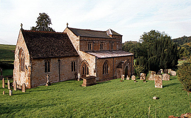
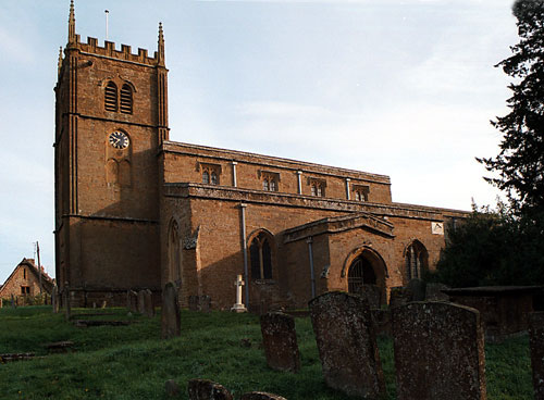
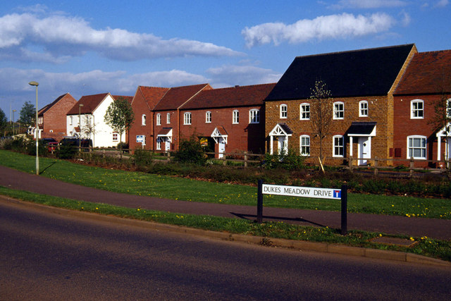
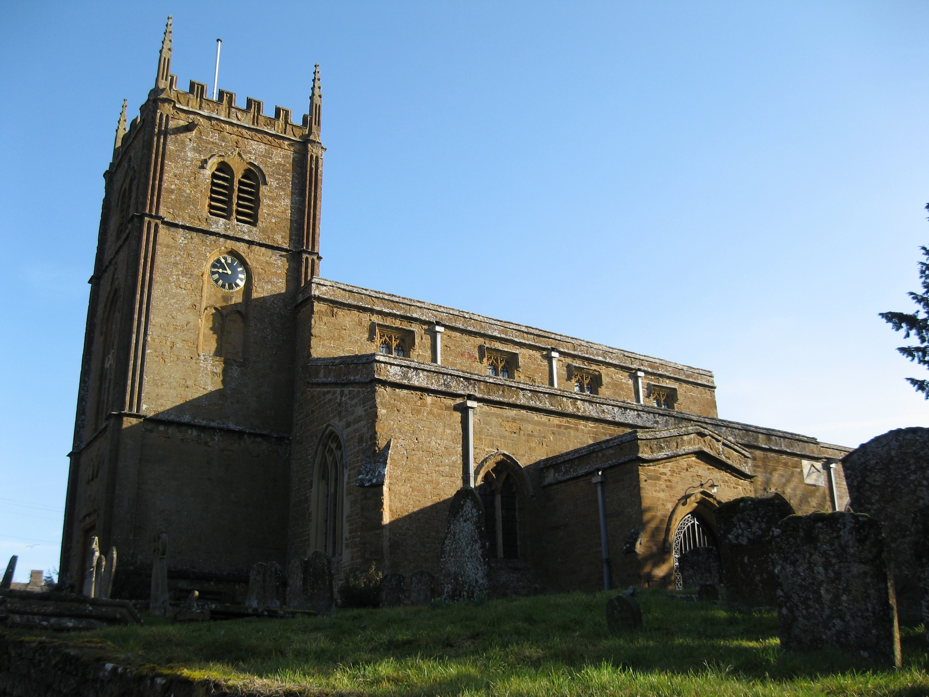
The village is known for its rural charm, with a population of around 1,500 residents. The architecture of Drayton is predominantly traditional, with many historic buildings dating back several centuries. The village center features a beautiful church, St. Peter's Church, which is a notable landmark with its striking medieval tower.

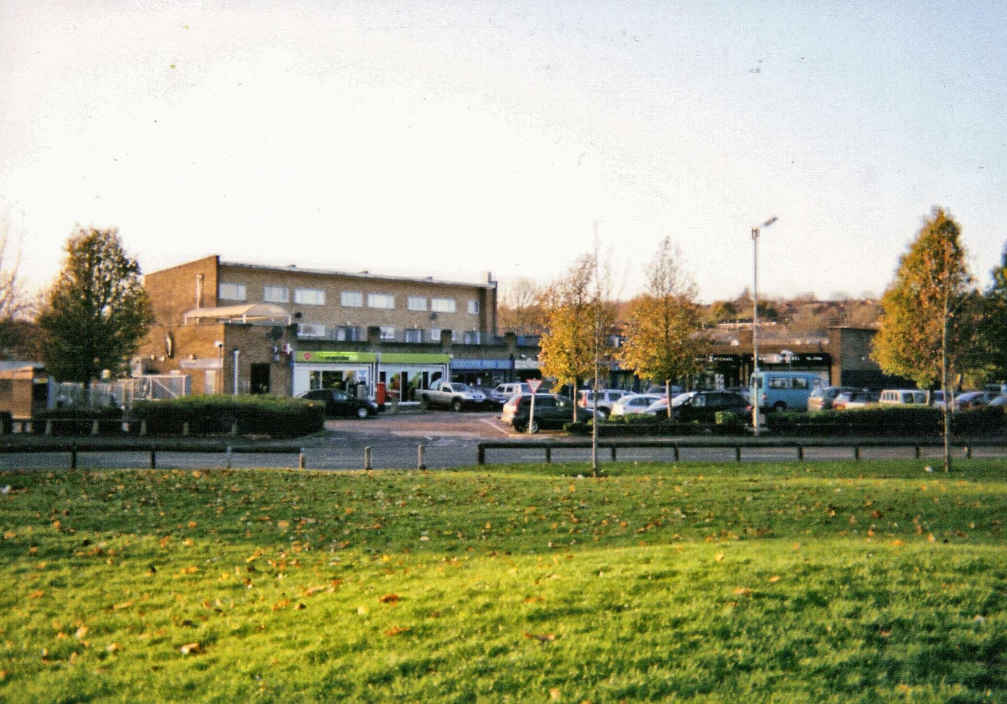
Drayton offers a close-knit community atmosphere, with several local amenities to cater to its residents. These include a primary school, a village hall, and a post office. The village also has a local pub, The Catherine Wheel, which serves as a popular gathering spot for residents and visitors alike.

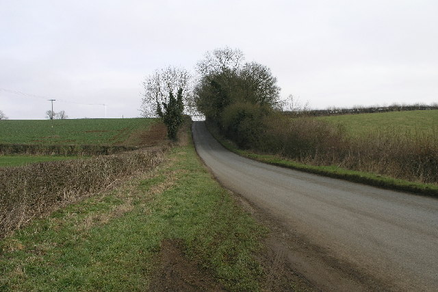
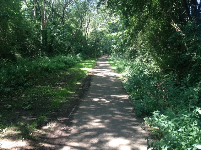
Surrounded by rolling green hills and lush meadows, Drayton offers ample opportunities for outdoor activities. The village is located near the Thames Path, a long-distance walking trail that follows the course of the River Thames. This makes it an ideal destination for hikers and nature enthusiasts. Additionally, the nearby countryside provides a peaceful setting for leisurely walks and cycling.

Overall, Drayton, Oxfordshire presents a tranquil and idyllic setting, perfect for those seeking a quiet rural escape while still being in close proximity to the amenities and cultural offerings of nearby Oxford.

If you have any feedback on the listing, please let us know in the comments section below.

Drayton Images

Images are sourced within 2km of 52.073955/-1.375624 or Grid Reference SP4241. Thanks to Geograph Open Source API. All images are credited.

St Peters Church. Drayton
The back of Wroxton College Within the village of Wroxton just outside Banbury.
The back of Wroxton College
Within the village of Wroxton just outside Banbury.
In the grounds of Wroxton College There are some beautiful walks  around some lakes which are behind the college....a hidden gem!
In the grounds of Wroxton College
There are some beautiful walks around some lakes which are behind the college....a hidden gem!
The Church of All Saints Wroxton
St Peter's Church Hanwell St Peter's Church Hanwell is one of the many ironstone churches in this area. If the gentleman that showed me around the church would like a high quality  copy of this picture, please ask your son to send me an e-mail.  See also <a href="https://www.geograph.org.uk/gridref/SP4143">SP4143</a>, <a href="https://www.geograph.org.uk/gridref/SP4245">SP4245</a>, <a href="https://www.geograph.org.uk/gridref/SP4840">SP4840</a>
St Peter's Church Hanwell
St Peter's Church Hanwell is one of the many ironstone churches in this area. If the gentleman that showed me around the church would like a high quality copy of this picture, please ask your son to send me an e-mail. See also SP4143, SP4245, SP4840
Horley Lane This lane leads from Horley to Hanwell crossing the B4100 on the way.
Horley Lane
This lane leads from Horley to Hanwell crossing the B4100 on the way.
Dukes Meadow Drive, Hanwell Fields Newly-built housing, in the fashionable 'Poundbury' style, on the edge of Banbury, a fast-growing town with good rail and road links.
Dukes Meadow Drive, Hanwell Fields
Newly-built housing, in the fashionable 'Poundbury' style, on the edge of Banbury, a fast-growing town with good rail and road links.
Longelandes Way, Ruscote Ruscote is an extensive housing estate in north Banbury. This picture shows Longelandes Way near its junction with Highlands.
Longelandes Way, Ruscote
Ruscote is an extensive housing estate in north Banbury. This picture shows Longelandes Way near its junction with Highlands.
Path in Ruscote This path follows the route of an old mineral railway and divides the Ruscote and Hardwick estates in the northern suburbs of Banbury.  Although the scene looks rural, in reality the path lies adjacent to housing and an industrial estate.
Path in Ruscote
This path follows the route of an old mineral railway and divides the Ruscote and Hardwick estates in the northern suburbs of Banbury. Although the scene looks rural, in reality the path lies adjacent to housing and an industrial estate.
Desirable thatched residence suitable for small family of ducks. Wroxton duck pond.
Desirable thatched residence
suitable for small family of ducks. Wroxton duck pond.
Footpath between Wroxton and Drayton Looking towards Drayton, the footpath drops down through the field of oilseed rape with a smattering of poppies to join the A422 by the bridge over the stream (hidden in the dip). The A422 can be seen rising up the slope on the other side.  The houses on the skyline are in Drayton.
Footpath between Wroxton and Drayton
Looking towards Drayton, the footpath drops down through the field of oilseed rape with a smattering of poppies to join the A422 by the bridge over the stream (hidden in the dip). The A422 can be seen rising up the slope on the other side. The houses on the skyline are in Drayton.
Drayton School Participants in the 2006 Banbury Run, gathered before the start, in the car park of Drayton School.

From September 2007 Drayton School became North Oxfordshire Academy.
Drayton School
Participants in the 2006 Banbury Run, gathered before the start, in the car park of Drayton School. From September 2007 Drayton School became North Oxfordshire Academy.
Footpath, Drayton A footpath to Drayton village cutting diagonally through a field of wheat. Looking towards Drayton, from near the gate into the field by Drayton School on the A422.
Footpath, Drayton
A footpath to Drayton village cutting diagonally through a field of wheat. Looking towards Drayton, from near the gate into the field by Drayton School on the A422.
Wroxton Cemetery This small cemetery is situated slightly outside of the village on the lane to Horley.
Wroxton Cemetery
This small cemetery is situated slightly outside of the village on the lane to Horley.
Drayton Lodge golf course and fishing pond Seen looking into the evening sun from the bridleway across the SE corner of the square.
Drayton Lodge golf course and fishing pond
Seen looking into the evening sun from the bridleway across the SE corner of the square.
Site of Drayton Crossing Looking along the alignment of the former main line Oxfordshire Ironstone Quarry railway linking the <a href="https://www.geograph.org.uk/photo/199178">SP4042 : Oxfordshire Ironstone Quarries Headquarters site</a> at Wroxton to the GWR main line north of Banbury. The footpath from Drayton to Drayton Lodge (left-right across the picture) crossed the railway at this point.
Site of Drayton Crossing
Looking along the alignment of the former main line Oxfordshire Ironstone Quarry railway linking the SP4042 : Oxfordshire Ironstone Quarries Headquarters site at Wroxton to the GWR main line north of Banbury. The footpath from Drayton to Drayton Lodge (left-right across the picture) crossed the railway at this point.
View towards Newington Grounds Looking across the square towards Newington Grounds from the footpath from Neithrop to Wroxton.
View towards Newington Grounds
Looking across the square towards Newington Grounds from the footpath from Neithrop to Wroxton.
The edge of Banbury The footpath from Wroxton runs along the edge of the field as it approaches the Neithrop area of Banbury.
The edge of Banbury
The footpath from Wroxton runs along the edge of the field as it approaches the Neithrop area of Banbury.
Show me another place!

Drayton is located at Grid Ref: SP4241 (Lat: 52.073955, Lng: -1.375624)

Administrative County: Oxfordshire

District: Cherwell

Police Authority: Thames Valley

What 3 Words

///scrum.liked.poorly. Near Banbury, Oxfordshire

Nearby Locations

Drayton Drayton Abbey Wood

Related Wikis

Drayton, Cherwell

Drayton is a village and civil parish in the valley of the Sor Brook in Oxfordshire, about 2 miles (3 km) northwest of Banbury. The 2011 Census recorded...

North Oxfordshire Academy

North Oxfordshire Academy is a coeducational academy school in Banbury, Oxfordshire, England. It opened in September 2007, replacing the comprehensive...

Drayton School

Drayton School was a comprehensive school situated on Stratford Road in Banbury, Oxfordshire, England. Established in 1973, its buildings are now occupied...

Neithrop Fields Cutting

Neithrop Fields Cutting is a 1.4-hectare (3.5-acre) geological Site of Special Scientific Interest in Banbury in Oxfordshire. It is a Geological Conservation...
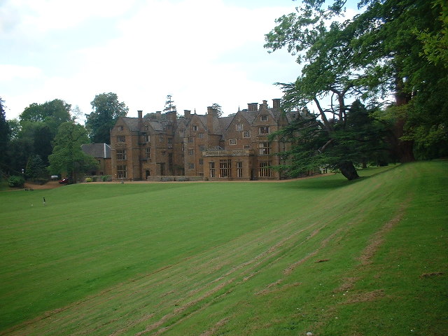
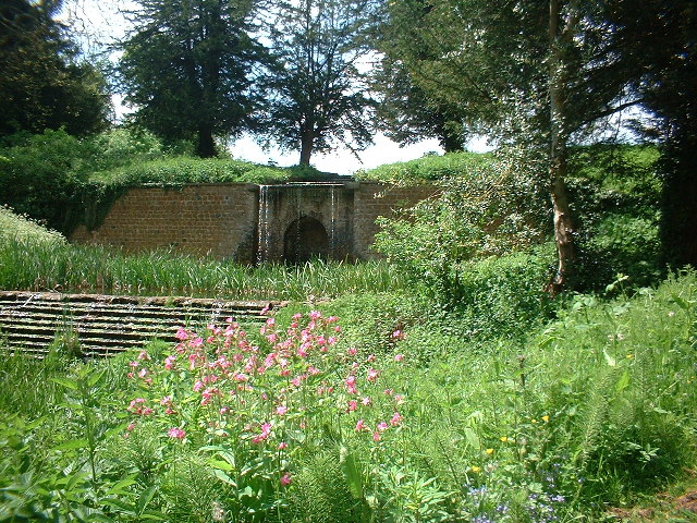
Wroxton Abbey

Wroxton Abbey is a Jacobean house in Oxfordshire, with a 1727 garden partly converted to the serpentine style between 1731 and 1751. It is 2.5 miles (4...

Wroxton

Wroxton is a village and civil parish in the north of Oxfordshire about 3 miles (5 km) west of Banbury. The 2011 Census recorded the parish's population...

Neithrop

Neithrop is an inner housing estate and part of the greater 'Neithrop ward' of Banbury, Oxfordshire, England. It is one of the oldest areas in Banbury...

Ruscote

The Ruscote, Hardwick and Hanwell Fields estates are three interconnecting Banbury estates that were built between the 1930s and 2000s in Oxfordshire,...

Nearby Amenities

Located within 500m of 52.073955,-1.375624
Drayton
Place: village
Wikidata: Q2784198
Wikipedia: en:Drayton, Cherwell
Lat/Long: 52.0727328/-1.375292
Mill Lane
Naptan AtcoCode: 340000263CNR
Naptan Bearing: NW
Naptan BusStopType: CUS
Naptan CommonName: Mill Lane
Naptan Indicator: Corner
Naptan Landmark: Mill Lane
Naptan NaptanCode: oxfgapgt
Naptan Street: Stratford Road
Naptan Verified: no
Source: naptan_import
Lat/Long: 52.0726027/-1.3753938
Bus Stop
Metcalfe Close
Bus: yes
Naptan AtcoCode: 340000263V
Naptan Bearing: SE
Naptan CommonName: Metcalfe Close
Naptan Indicator: Corner
Naptan Landmark: Metcalfe Close
Naptan NaptanCode: oxfajpam
Naptan Street: Stratford Road
Naptan Verified: no
Public Transport: platform
Source: naptan_import
Lat/Long: 52.0726557/-1.375218
Crossing
Lat/Long: 52.0711458/-1.3708575
Material: wood
Power: pole
Lat/Long: 52.0752245/-1.3755966
Material: wood
Power: pole
Lat/Long: 52.0756977/-1.3764287
Material: wood
Power: pole
Lat/Long: 52.0762046/-1.3770034
Material: wood
Power: pole
Lat/Long: 52.0764106/-1.3772167
Material: wood
Power: pole
Lat/Long: 52.0771856/-1.3780277
Material: wood
Power: pole
Lat/Long: 52.0751643/-1.3758469
Material: wood
Power: pole
Lat/Long: 52.0748736/-1.3770484
Material: wood
Power: pole
Lat/Long: 52.0746293/-1.3781161
Material: wood
Power: pole
Lat/Long: 52.0738661/-1.3782578
Material: wood
Power: pole
Lat/Long: 52.0730527/-1.3783857
Power: pole
Lat/Long: 52.0722753/-1.3785166
Power: pole
Lat/Long: 52.0715737/-1.3789141
Power: pole
Lat/Long: 52.0704641/-1.3794819
Power: pole
Lat/Long: 52.0703444/-1.3794489
Power: pole
Lat/Long: 52.070028/-1.377961
Power: pole
Lat/Long: 52.0697656/-1.3767159
Power: pole
Lat/Long: 52.0695309/-1.3755485
Recycling
Recycling Type: container
Lat/Long: 52.0742539/-1.3760363
Generator Method: photovoltaic
Generator Output Electricity: yes
Generator Source: solar
Generator Type: solar_photovoltaic_panel
Location: roof
Power: generator
Lat/Long: 52.0712715/-1.3783725
Generator Method: photovoltaic
Generator Output Electricity: yes
Generator Source: solar
Generator Type: solar_photovoltaic_panel
Location: roof
Power: generator
Lat/Long: 52.0728476/-1.3746268
Generator Method: photovoltaic
Generator Output Electricity: yes
Generator Source: solar
Generator Type: solar_photovoltaic_panel
Location: roof
Power: generator
Lat/Long: 52.0729053/-1.3744497
Generator Method: photovoltaic
Generator Output Electricity: yes
Generator Source: solar
Generator Type: solar_photovoltaic_panel
Location: roof
Power: generator
Lat/Long: 52.073146/-1.3751055
Bench
Source: survey
Lat/Long: 52.0738319/-1.3755012
Defibrillator
Emergency: defibrillator
Ref GB The Circuit: EE899786-C29A-4F4C-9C7D-1A7FCBD3C129
Source: survey
Lat/Long: 52.0738508/-1.375397
The data included in this document is from www.openstreetmap.org. The data is made available under ODbL.

Have you been to Drayton?

Leave your review of Drayton below (or comments, questions and feedback).